The best hikes from bus stations around Brandenburg an der Havel
4.5
(2242)
9,536
hikers
438
hikes
Bus station hiking trails around Brandenburg an der Havel navigate a largely flat landscape characterized by an extensive network of waterways, including the Havel River, Beetzsee, and Plauer See. The region features varied terrain, from secluded paths and open fields to peaceful forest trails. Notable natural features include the Lower Havel basin, one of Central Europe's largest continuous wetlands, and the Briesetal valley, known for its lush, "rainforest-like" environment. This diverse geography provides accessible routes for various hiking preferences.
Best…
Last updated: July 10, 2026
4.5
(43)
118
hikers
Moderate hike. Good fitness required. Easily-accessible paths. Suitable for all skill levels.
4.3
(51)
155
hikers
Hard hike. Very good fitness required. Easily-accessible paths. Suitable for all skill levels.

Sign up for free
4.2
(46)
145
hikers
Hard hike. Very good fitness required. Easily-accessible paths. Suitable for all skill levels.
4.7
(36)
109
hikers
Moderate hike. Good fitness required. Easily-accessible paths. Suitable for all skill levels.
4.7
(31)
87
hikers
Moderate hike. Good fitness required. Easily-accessible paths. Suitable for all skill levels.
Get access to more routes and recommendations from other explorers.
Sign up for free
Already have an account?
Our route recommendations are based on thousands of hikes, rides, and runs completed by other people on komoot.
Start today with a free account
Your next adventure awaits.
Login or Signup
Popular around Brandenburg an der Havel

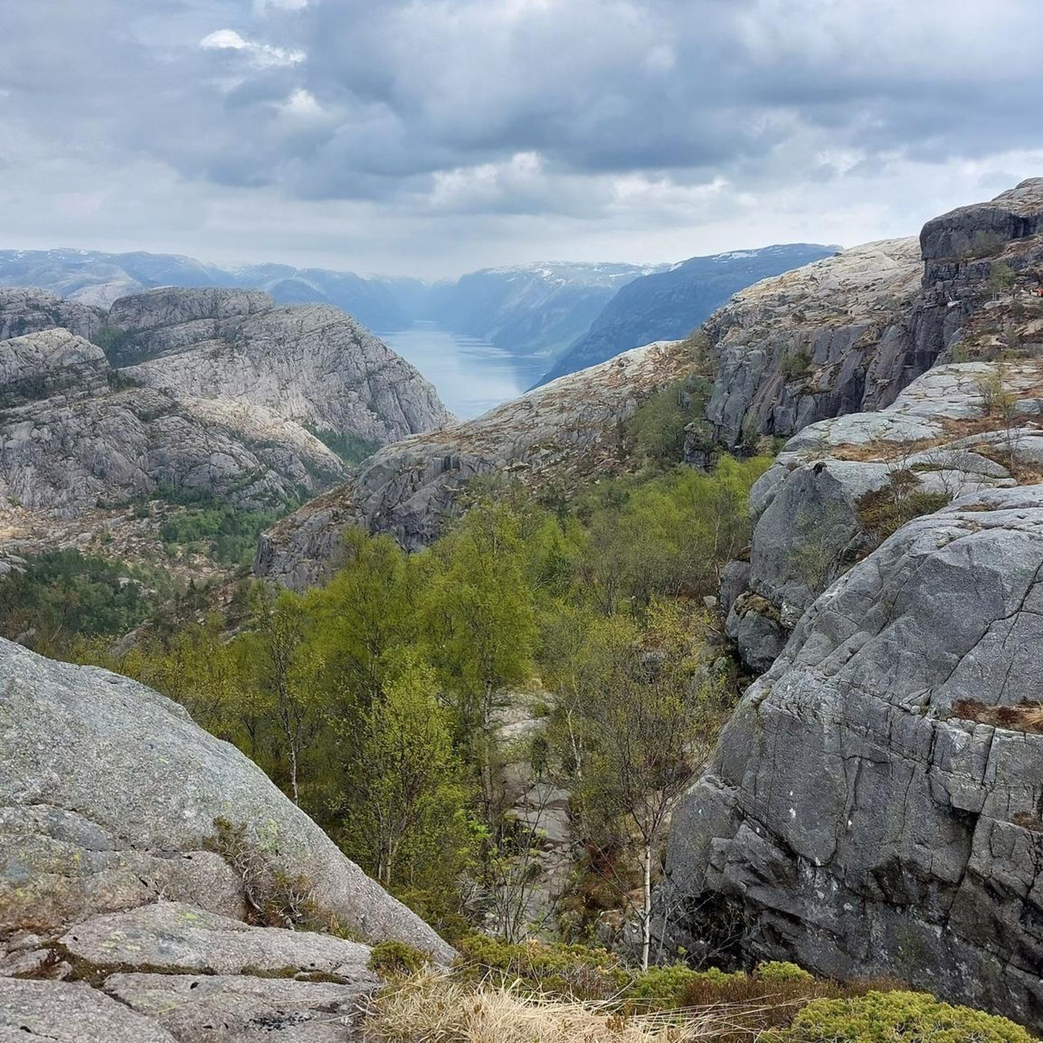
Hikes from bus stations around Beetzsee
Hikes from bus stations in Buhnenwerder-Wusterau
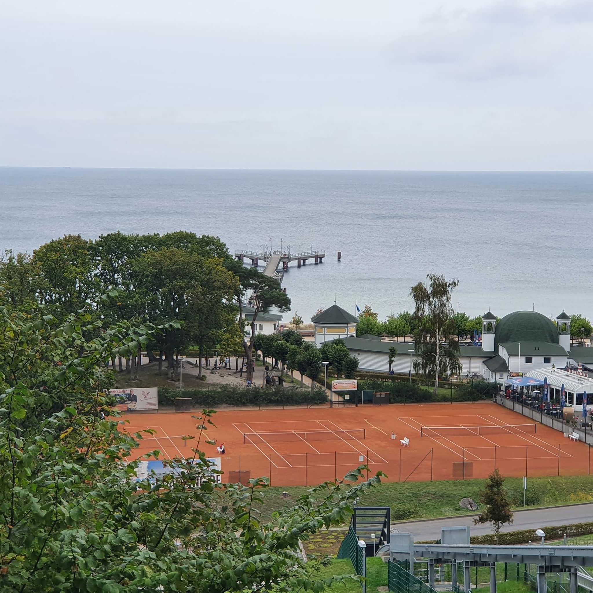
Hikes from bus stations around Plauer Lake
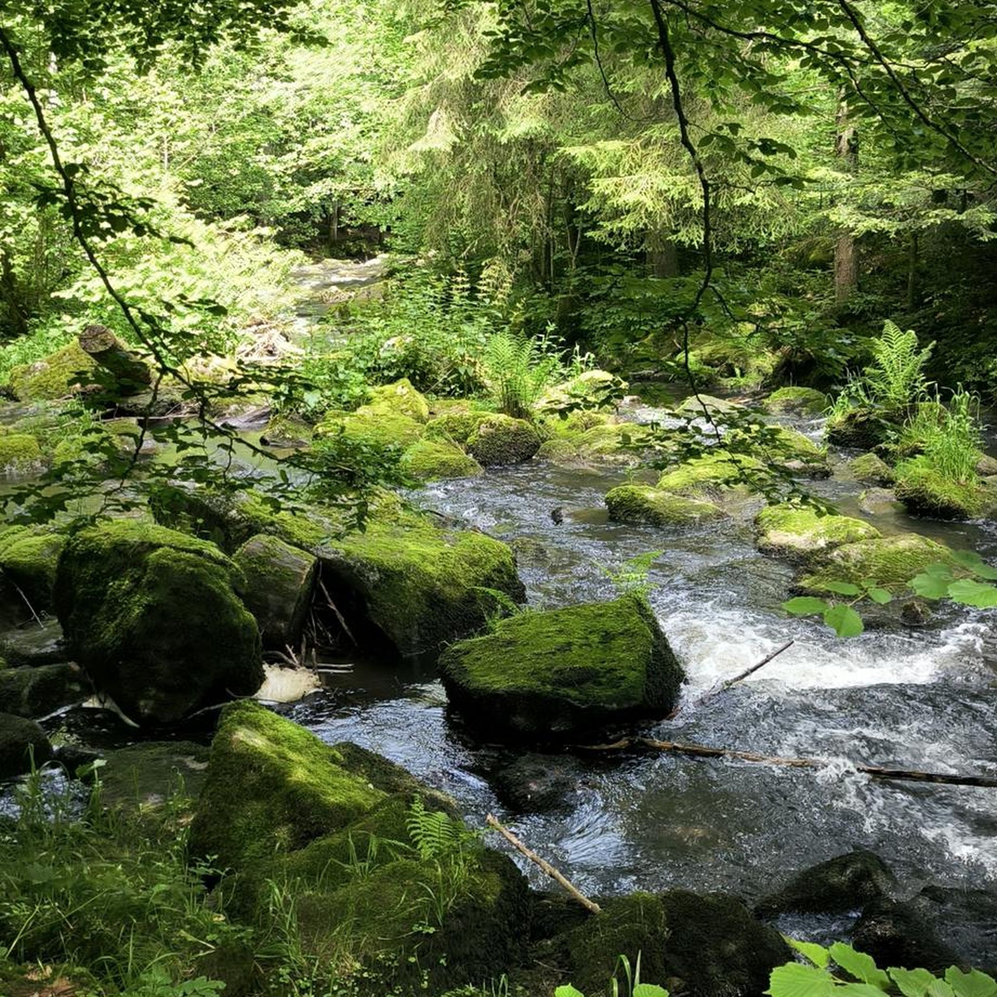
Hikes from bus stations in Ehemaliger Gssd Trübpl

Hikes from bus stations in Mittlere Havel
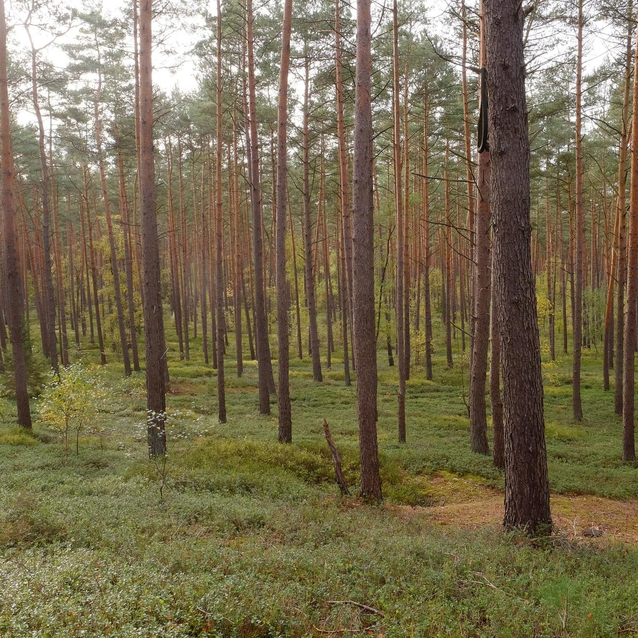
Hikes from bus stations around Breitlingsee

Hikes from bus stations around Möserscher Lake
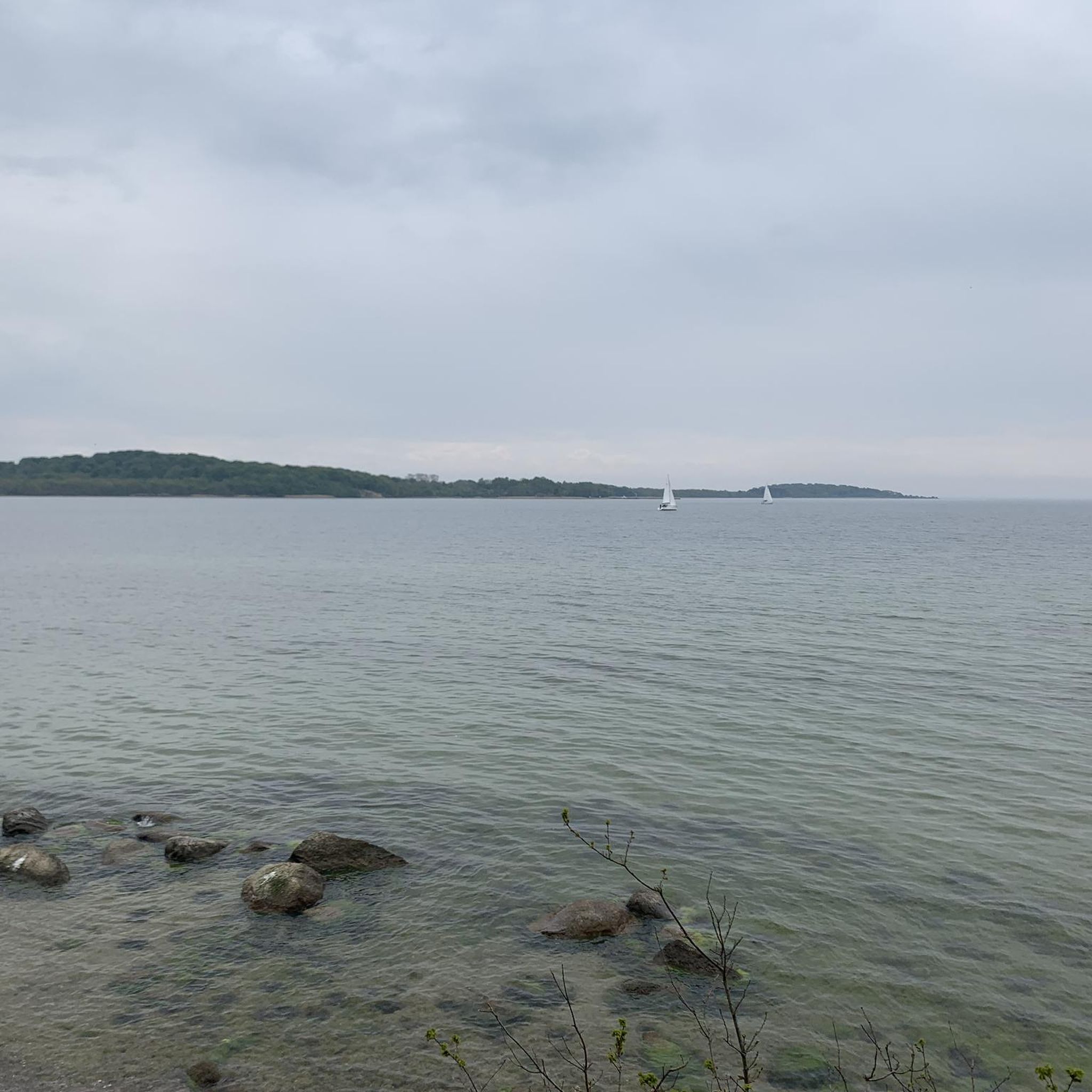
Hikes from bus stations in Gränert
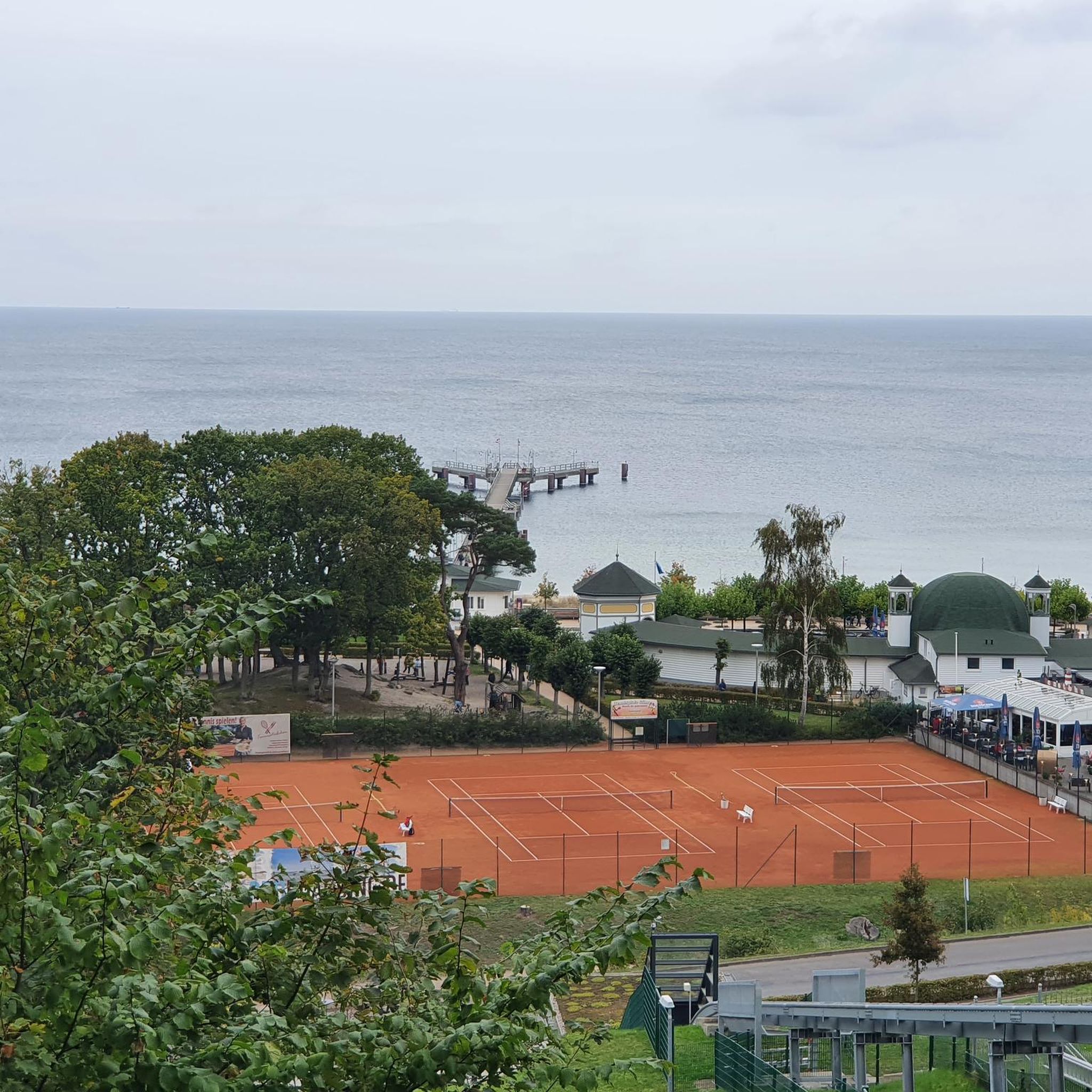
Hikes from bus stations around Wendsee
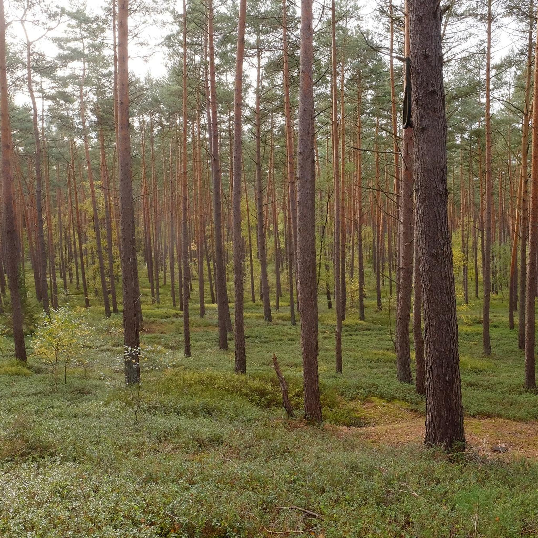
Hikes from bus stations in Stadthavel
Other adventures around Brandenburg an der Havel


Tips from the Community

Sit by the water and enjoy an ice cream, what more could you want.
0
0

Sit on the bench and enjoy the peace and the view over the water...
0
0

The name Brandenburg Lower Havel begins with the southern part of Lake Beetz, the Kleiner Beetzsee. Flowing south, it passes a narrow section over which the Homeyen Bridge crosses. Several tributaries, such as the Domstreng, flow into the Havel from the east. Passing the Dominsel (Cathedral Island), the river reaches the Jahrtausendbrücke (Millennium Bridge) and the Salzhofufer (Salzhof Embankment). On the Salzhof Embankment, there are moorings for pleasure boats and passenger ships. Shortly before the mouth of the Brandenburg City Canal (BrK) on the left bank, the Luckenberger Bridge crosses the river. The city lock is located in the Brandenburg City Canal.
0
0
The Brandenburger Niederhavel (BHv) is a section of the Havel River in the German federal state of Brandenburg. The waterway is approximately eight kilometers long. It is a federal waterway of waterway class IV with restrictions and is part of the Lower Havel Waterway, for which the Spree-Havel Waterways and Shipping Authority is responsible. The Brandenburger Niederhavel lies entirely within the urban area of the independent city of Brandenburg an der Havel.
0
0

There is a snack bar, deck chairs and the opportunity for boat tours.
1
0

This is where life by the water takes on a more intense meaning. It's very interesting and idyllic.
3
0

This is not a simple ditch, but a river, namely the Plane
0
0

A moat behind the groyne house
0
1
Frequently Asked Questions
How many bus-accessible hiking trails are available around Brandenburg an der Havel?
There are over 440 hiking routes accessible from bus stations in the Brandenburg an der Havel region. The majority, around 280, are classified as easy, making them suitable for a wide range of hikers, while 146 are moderate and 17 are more difficult.
What kind of natural features can I expect to see on these bus-accessible hikes?
The region is defined by its extensive waterways, including the Havel River, Beetzsee, Plauer See, and Bohnenländer Lake, offering picturesque views. You'll also encounter the Lower Havel basin, one of Central Europe's largest wetlands, rich in wildlife like beavers and diverse bird species. Some trails, such as those near the Briesetal valley, offer a unique 'rainforest-like' wetland experience with lush vegetation.
Are there any family-friendly hiking options accessible by bus?
Yes, many of the routes are suitable for families due to the largely flat terrain. For example, areas around Möserscher See offer pleasant walks. Marienberg Park, while not a specific route, is also a great destination for families with playgrounds and green spaces, often reachable by local bus services.
Can I bring my dog on these bus-accessible hiking trails?
Generally, dogs are welcome on most hiking trails in the Brandenburg an der Havel region. It's always advisable to keep your dog on a leash, especially in nature protection areas or when passing through agricultural land, to protect local wildlife and livestock. Always carry water for your dog and dispose of waste properly.
Are there any circular routes that start and end at a bus stop?
Yes, many routes are designed as circular walks, making them convenient for public transport users. An example is the Swimming spot at Breitlingsee – Buckau Riverside Trail loop from Stadthavel, which offers a scenic loop starting and ending near a bus stop. Another option is the Backwahn — The Bake Shop – Bagow Art Nouveau Church loop from Bagower Bruch.
What are some interesting landmarks or attractions I can see along these bus-accessible routes?
Many trails pass by or lead to notable points of interest. You might encounter historical sites like the Dominsel (Cathedral Island) or explore areas with views of Millennium Bridge. The Radewege pier (Beetzsee) is also a highlight along some routes, offering beautiful lake views.
What is the best time of year to go hiking from bus stations in Brandenburg an der Havel?
Spring and autumn are particularly recommended for hiking. In spring, the blooming trees and plants create a vibrant landscape, while autumn offers picturesque colorful foliage. The minimal elevation changes make the trails enjoyable in most seasons, though summer can be warm and winter may bring colder, potentially icy conditions.
Are there places to eat or drink near the bus-accessible hiking trails?
Yes, some routes pass through or near villages and towns where you can find cafes or pubs. For instance, the Backwahn — The Bake Shop – Bagow Art Nouveau Church loop from Bagower Bruch starts near a local bake shop. You might also find lakeside restaurants like Malge Lakeside Restaurant & Marina along routes near the lakes.
What do other hikers enjoy most about hiking in Brandenburg an der Havel?
The area is highly rated by the komoot community, with an average score of 4.5 stars. Reviewers often praise the tranquil water views, the diverse natural landscapes including wetlands and forests, and the accessibility of trails for various fitness levels. The well-maintained paths and opportunities for nature observation are also frequently highlighted.
Are there any trails that offer wild swimming opportunities?
While specific wild swimming spots are not always officially designated along every trail, the region's numerous lakes and the Havel River offer many opportunities for a refreshing dip. For example, the Swimming spot at Breitlingsee – Buckau Riverside Trail loop from Stadthavel explicitly mentions a swimming spot, making it a great option for combining hiking with a swim.
How challenging are the bus-accessible hiking trails in this region?
The trails around Brandenburg an der Havel are generally accessible due to the largely flat terrain. You'll find a good mix of difficulties: 280 easy routes, 146 moderate routes, and 17 more difficult options. This means there's something for everyone, from leisurely walkers to those seeking a longer, more challenging day out, such as the Radewege pier (Beetzsee) – View of the Burgmühle Complex loop from Butterlake.
Most popular routes around Brandenburg an der Havel
Most popular attractions around Brandenburg an der Havel

Get inspired with the komoot mobile app


Didn’t find what you were looking for?
Check out more Hikes throughout Brandenburg an der Havel below and find the perfect route in your destination.
Explore more
Browse the best Hikes in other regions.
