The best hikes from bus stations in the Odenwald
4.6
(25805)
94,537
hikers
5,900
hikes
Bus station hiking trails in the Odenwald traverse a region characterized by dense forests, rolling hills, and picturesque river valleys. The landscape features varied terrain, from the flat Rhine valley in the west to steeply ascending mountain roads and the gentle, hilly areas of the Odenwald itself. Geological formations like the Felsenmeer (Sea of Rocks) and the volcanic Katzenbuckel add distinct natural features to the hiking experience. The region's geology, spanning over 500 million years, has created diverse landscapes suitable…
Last updated: October 5, 2026
4.7
(911)
2,690
hikers
9.51km
02:48
280m
280m
Moderate hike. Good fitness required. Easily-accessible paths. Suitable for all skill levels.
4.8
(400)
1,218
hikers
7.71km
02:14
190m
190m
Moderate hike. Good fitness required. Easily-accessible paths. Suitable for all skill levels.

4.6
(111)
427
hikers
17.4km
05:10
530m
530m
Hard hike. Very good fitness required. Easily-accessible paths. Suitable for all skill levels.
4.7
(151)
495
hikers
16.0km
04:33
370m
370m
Moderate hike. Good fitness required. Easily-accessible paths. Suitable for all skill levels.
4.5
(70)
237
hikers
13.5km
03:45
240m
240m
Moderate hike. Good fitness required. Easily-accessible paths. Suitable for all skill levels.
Get access to more routes and recommendations from other explorers.
Already have an account?
Our route recommendations are based on thousands of hikes, rides, and runs completed by other people on komoot.
Start today with a free account
Your next adventure awaits.
Popular around Odenwald
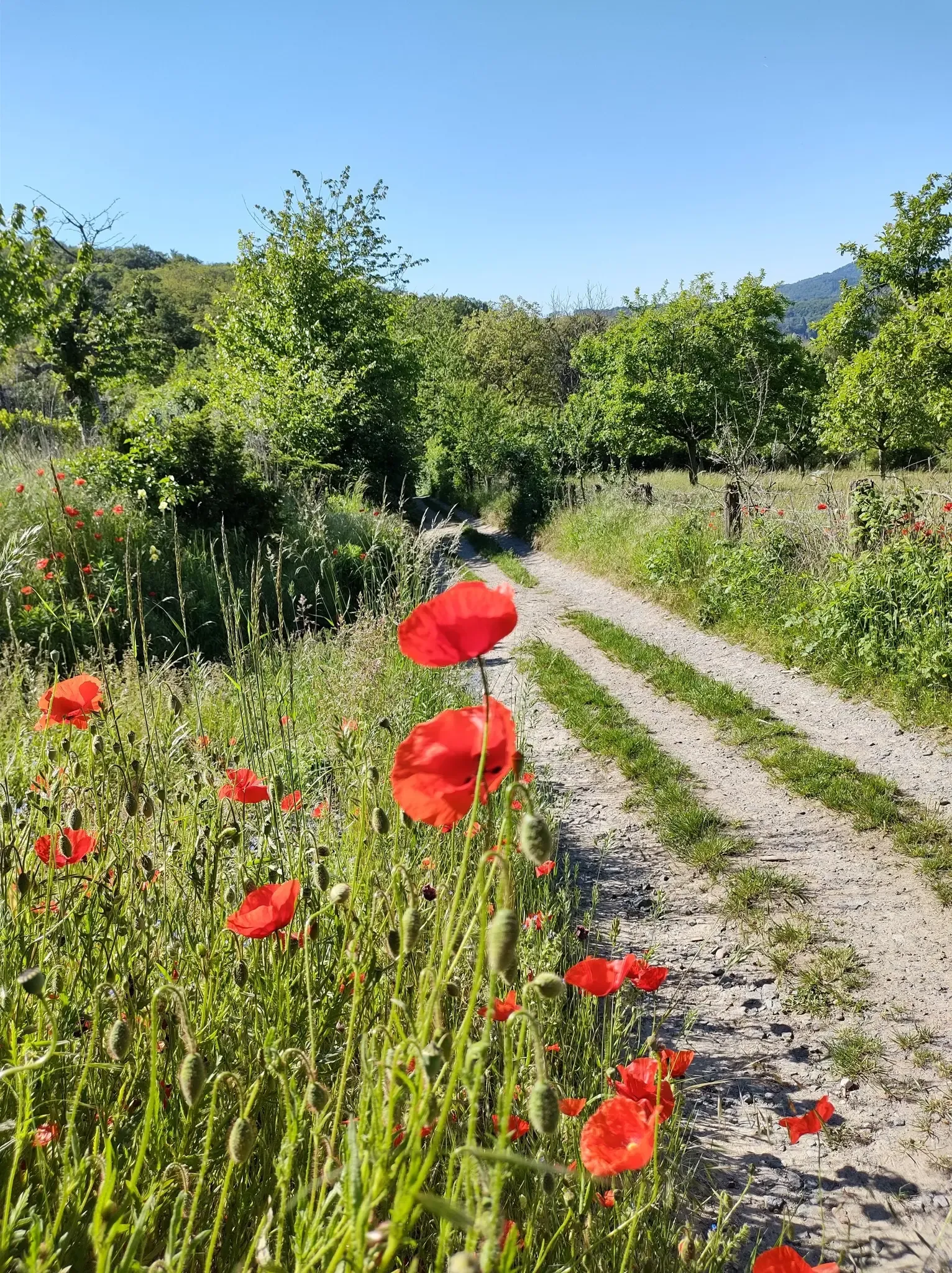
Bergsträßer Blütenweg – Between vines and flowers
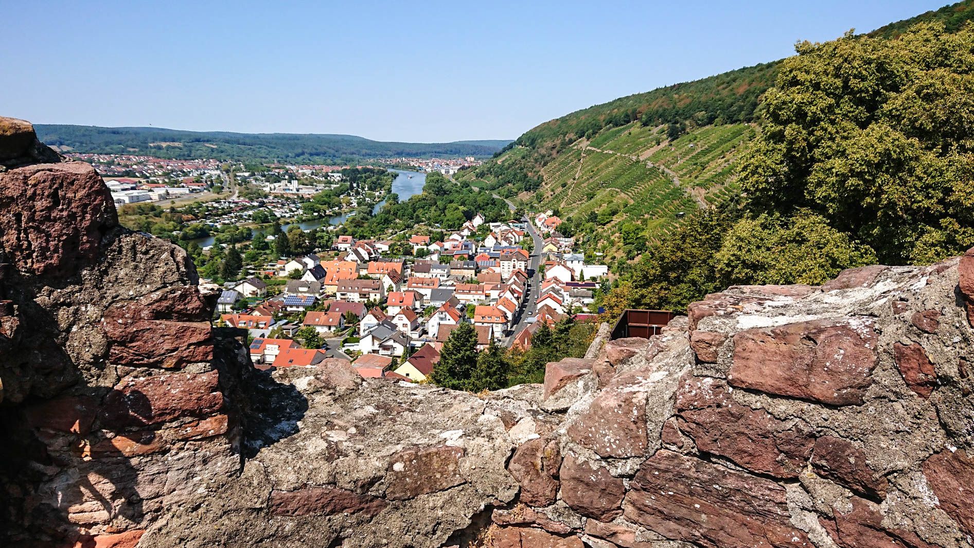
Franconian Red Wine Trail — From vineyards to the Main River
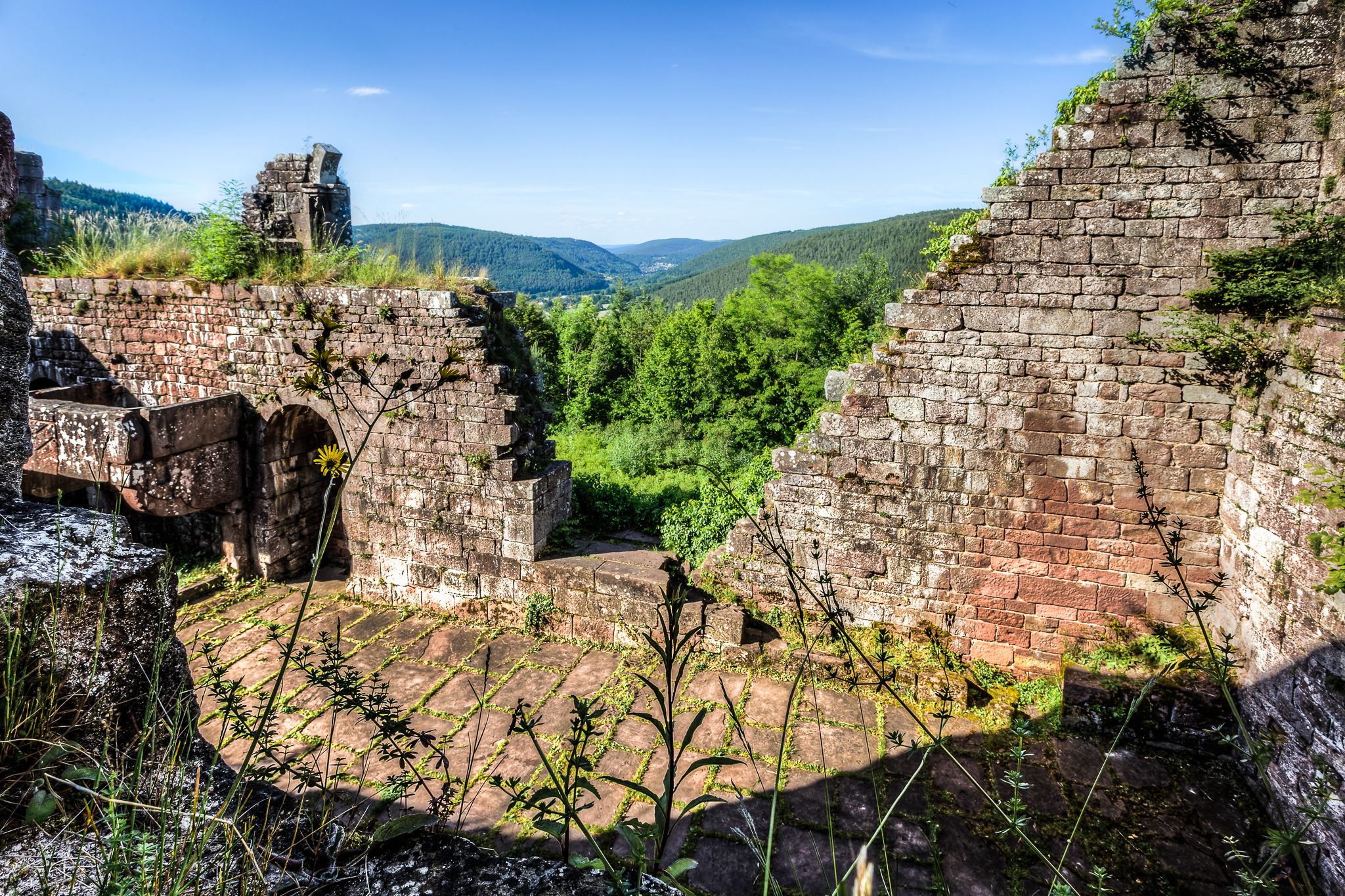
The Nibelungensteig in 7 stages – Simply legendary!
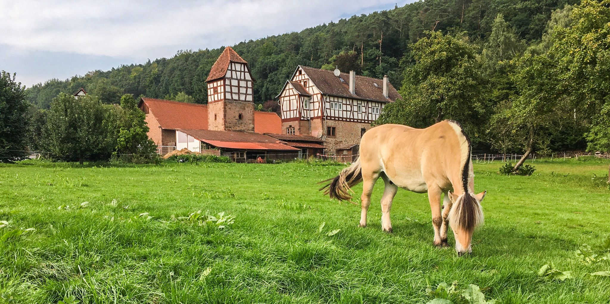
The Alemannenweg – Hiking in the Odenwald
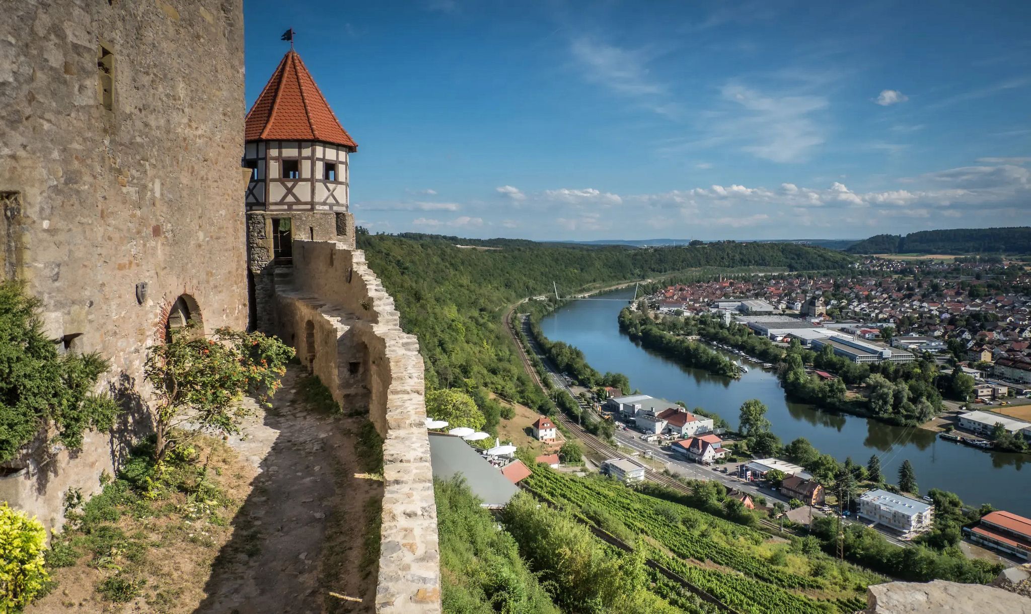
The Neckarsteig trail – 9 stages along the edge of the Odenwald

Vibrant and diverse – autumn colors in the Odenwald
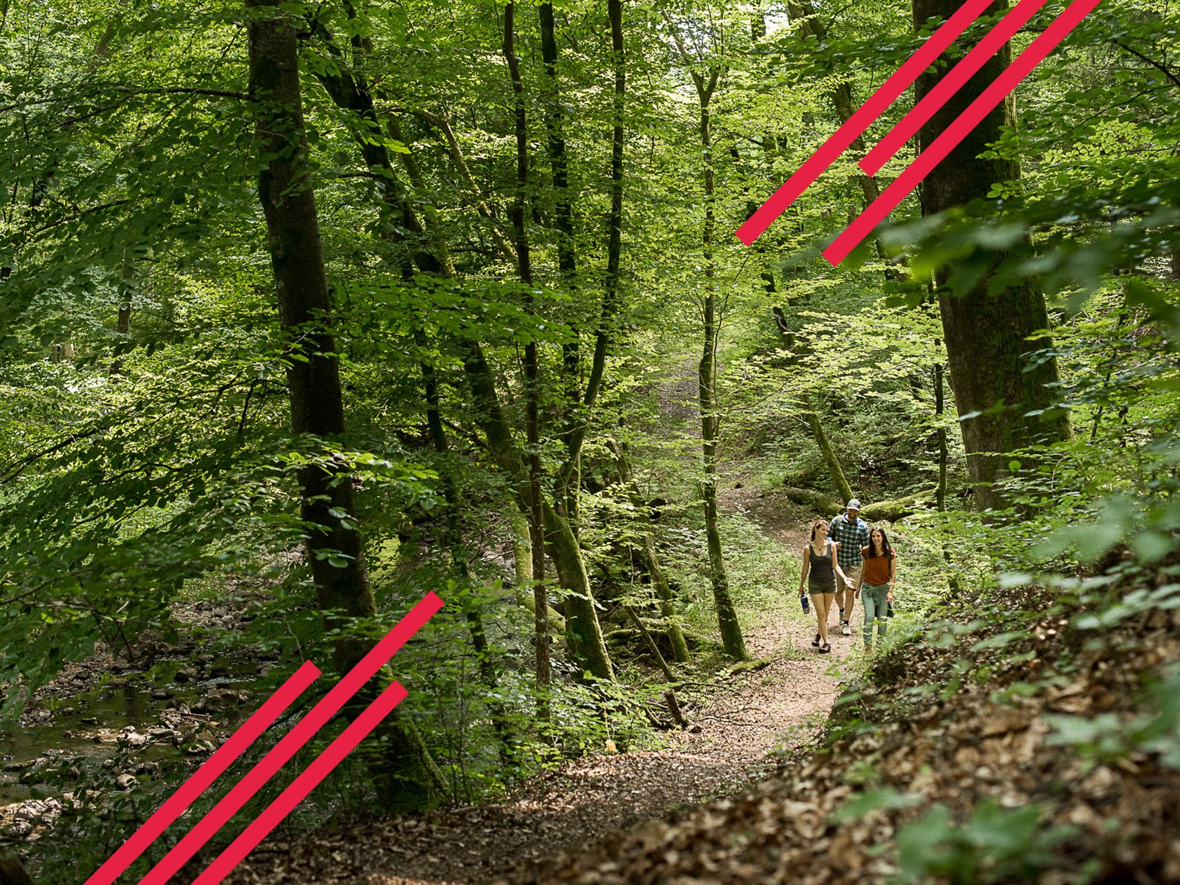
Relaxed hiking in the Spessart – short trails of discovery

Hiking breaks in the South – two-day routes in Baden-Württemberg
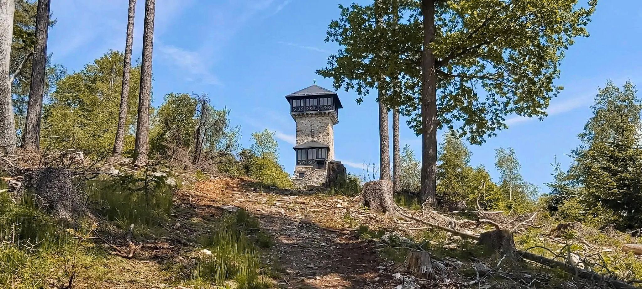
Autumn views: to the most beautiful vantage points in the RMV area
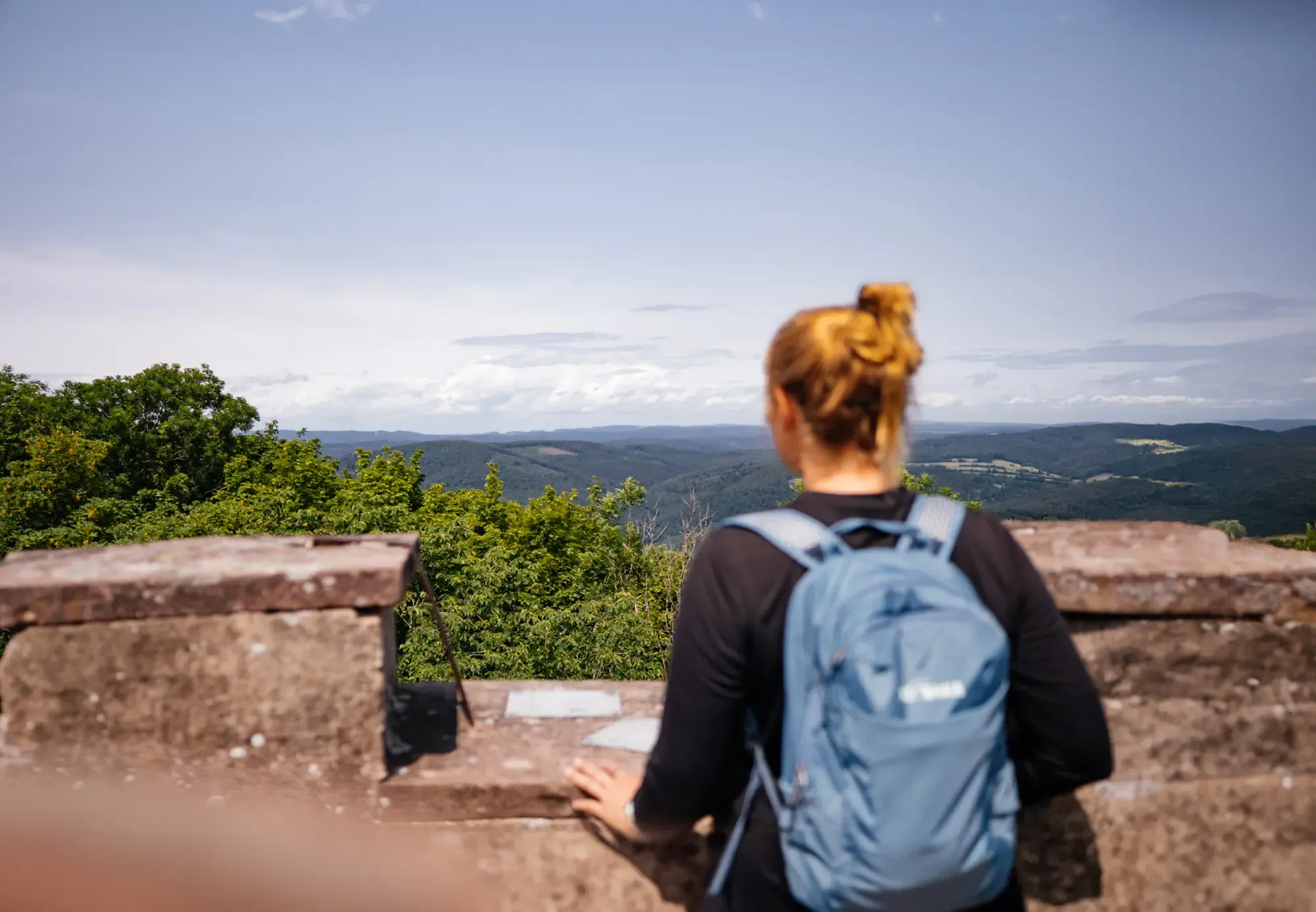
The state from above: 7 Summits of Baden-Württemberg
Other adventures in the Odenwald


Tips from the Community

Very interesting museum, worth seeing if you are nearby.
4
0

The Lautertal Rock Sea in the Odenwald forest is a natural monument and a popular tourist attraction. This well-known geotope in Hesse stretches over 2 km in length and up to 100 m in width. A UNESCO Geopark, the Rock Sea attracts many visitors with its enormous quartz diorite rocks and the mysterious legend of the giants that inhabit it.
0
0

The sea of rocks is a wonderful experience for the whole family
1
1

Always beautiful and you don't necessarily have to climb over the stones
1
0

Quite a strenuous hike up. Requires surefootedness and shoes with good tread. :)
1
0
From here you have a great view
17
0

The Waldmuseum Watterbacher Haus is a historical gem in the Odenwald forest. Originally a farmhouse from 1475, it was rebuilt in Preunschen, a district of Kirchzell, and today houses a fascinating exhibition on forest history. It shows how the forest has been used since the Middle Ages, from timber harvesting to basket weaving. The building itself is a masterpiece of medieval timber-frame architecture and is considered the oldest preserved farmhouse in the Bavarian Odenwald. A visit is like a journey back in time – perfect for history and nature fans! 🌳
13
3
The giant mill could almost be called an "Odenwald time machine" – but instead of catapulting you into the future, it catapults you right into the heart of historic mill life! Imagine: a mill distinguished not only by its quaint architecture, but also by its charming ability to literally "grind" stories from times gone by. Perhaps the wheels even grind a sense of adventure and a touch of nostalgia!
11
0
Frequently Asked Questions
How many bus-accessible hiking trails are available in the Odenwald?
The Odenwald offers a vast network of bus-accessible hiking trails. You can find nearly 6,000 routes that start conveniently from bus stations, making it easy to explore the region's diverse landscapes without a car.
What kind of terrain can I expect on bus-accessible hikes in the Odenwald?
The Odenwald's bus-accessible trails feature a varied landscape. You'll encounter extensive dense forests, rolling hills, and picturesque river valleys. Some routes, like the Felsenmeer loop, will take you through unique geological formations such as the dramatic Sea of Rocks. Expect a mix of wooded paths, open meadows, and sometimes even orchards, providing a constantly changing and engaging hiking experience.
Are there easy bus-accessible hikes suitable for beginners or families in the Odenwald?
Yes, the Odenwald has plenty of easy bus-accessible hikes perfect for beginners or families. Over 3,200 routes are classified as easy, offering gentle gradients and shorter distances. These trails often lead through charming villages or to accessible natural sights, ensuring an enjoyable outing for all ages. Look for routes that highlight specific attractions like the Cat hump tower or offer scenic viewpoints.
What do other hikers say about the bus station trails in the Odenwald?
The Odenwald's bus station trails are highly regarded by the komoot community, boasting an average rating of 4.6 out of 5 stars. Hikers frequently praise the well-maintained paths, the stunning natural beauty, and the convenience of accessing diverse routes directly from public transport stops. Many appreciate the blend of tranquil forests, panoramic views, and historical landmarks along the way.
Can I find circular hiking routes that start and end at a bus station?
Absolutely! Many of the bus-accessible trails in the Odenwald are designed as circular routes, allowing you to start and finish your hike at the same bus station. This is ideal for exploring without needing to arrange return transport. An example is the Felsenmeer loop, which offers a moderate challenge and brings you back to your starting point.
What natural attractions can I see on bus-accessible hikes in the Odenwald?
Bus-accessible hikes in the Odenwald offer access to several impressive natural attractions. You can explore the unique Felsenmeer (Sea of Rocks) near Reichenbach, a dramatic expanse of granite boulders. Other trails might lead you to the picturesque Margaretenschlucht Waterfalls or offer panoramic views from peaks like Melibokus, overlooking the Rhine Plain.
Are there any historical landmarks or castles accessible from bus station trails?
Yes, the Odenwald is rich in history, and many bus-accessible trails lead to fascinating historical landmarks. You can discover ancient castles and ruins, such as the Dilsberg Fortress, or the Rodenstein castle ruins. These routes often pass through charming medieval towns like Michelstadt or Erbach, offering a glimpse into the region's past.
Which bus-accessible trails offer the best viewpoints in the Odenwald?
For breathtaking views, consider bus-accessible trails that ascend to higher elevations. The hike Up the Katzenbuckel leads to the highest point in the Geo-Nature Park area, offering expansive vistas. Other notable viewpoints include the View over the Rhine Plain from Melibokus and the Emperor's tower on the Neunkircher Höhe, both accessible via trails from nearby bus stops.
Are there any adventure-themed bus-accessible trails in the Odenwald?
Yes, for those seeking a bit more adventure, the Odenwald offers trails like the Fürth-Grasellenbach adventure trail. These routes often incorporate elements that engage hikers, such as unique geological features, themed paths, or opportunities to explore natural formations like the Gruselpfad and Drachenhöhle.
What is the best season for bus station hiking in the Odenwald?
The Odenwald is beautiful in every season, but spring and autumn are particularly popular for hiking. In spring, the forests burst with fresh greenery and wildflowers, while autumn transforms the landscape with vibrant fall colors. Summer offers lush trails, and even winter can be magical for a crisp, quiet hike, especially on lower elevation routes.
Are there bus-accessible trails that follow river valleys?
Yes, the Odenwald is bordered by the Main and Neckar rivers, and you can find bus-accessible trails that explore these picturesque river valleys. For example, the Dilsberg Fortress – Neckar promenade Neckarsteinach loop offers beautiful views along the Neckar, combining historical sights with riverside scenery.
Most popular routes in the Odenwald
Most popular attractions in the Odenwald

Get inspired with the komoot mobile app


Explore more
Browse the best Hikes in other regions.
