The best traffic-free bike rides around Hauteluce
4.6
(37)
1,755
riders
17
rides
No traffic touring cycling routes around Hauteluce traverse a mountainous landscape in the Beaufortain region, characterized by significant elevation changes and panoramic views. The area features prominent mountain passes such as Col des Saisies, Col de la Lézette, and Col du Joly, which define the cycling terrain. Verdant alpine pastures and views of Mont Blanc are common along the routes, offering varied scenery for touring cyclists.
Best no traffic touring cycling routes around Hauteluce
- The most popular no traffic touring cycling route is Col de la Lézette – Mont Bisanne loop from Les Saisies, a 11.1 miles (17.9 km) trail that takes 1 hour 49 minutes to complete. This difficult route features sustained climbs through alpine scenery.
- Another top favourite among local touring cyclists is Col de la Lézette – Col de la Légette loop from Les Saisies, a moderate 8.1 miles (13.0 km) path. This route offers a mix of ascents and descents with views of the surrounding peaks.
- Local touring cyclists also love the Col des Saisies – Mont Bisanne loop from Les Saisies, a 14.5 miles (23.3 km) trail leading through high mountain passes and open pastures, often completed in about 2 hours 26 minutes.
- Touring cycling around Hauteluce is defined by challenging mountain passes, expansive alpine pastures, and distant views of Mont Blanc. The network offers options for moderate to difficult ability levels, with significant elevation gains.
- The routes in Hauteluce are highly rated by the komoot community with an average score of 4.8 stars from over 20 reviews. More than 1200 touring cyclists have used komoot to explore Hauteluce's varied terrain.
Last updated: July 10, 2026
5.0
(1)
89
riders
32.9km
03:20
1,080m
1,080m
Hard bike ride. Very good fitness required. You may need to push your bike for some segments of this route.
4.6
(5)
116
riders
16.5km
01:43
490m
490m
Hard bike ride. Very good fitness required. Mostly paved surfaces. Suitable for all skill levels.

Sign up for free
68
riders
22.8km
02:24
660m
660m
Hard bike ride. Very good fitness required. Mostly paved surfaces. Suitable for all skill levels.
5.0
(1)
54
riders
24.0km
02:03
820m
820m
Hard bike ride. Very good fitness required. Mostly paved surfaces. Suitable for all skill levels.
55
riders
Hard bike ride. Very good fitness required. You may need to push your bike for some segments of this route.
Get access to more routes and recommendations from other explorers.
Sign up for free
Already have an account?
Our route recommendations are based on thousands of hikes, rides, and runs completed by other people on komoot.
Start today with a free account
Your next adventure awaits.
Login or Signup



Tips from the Community

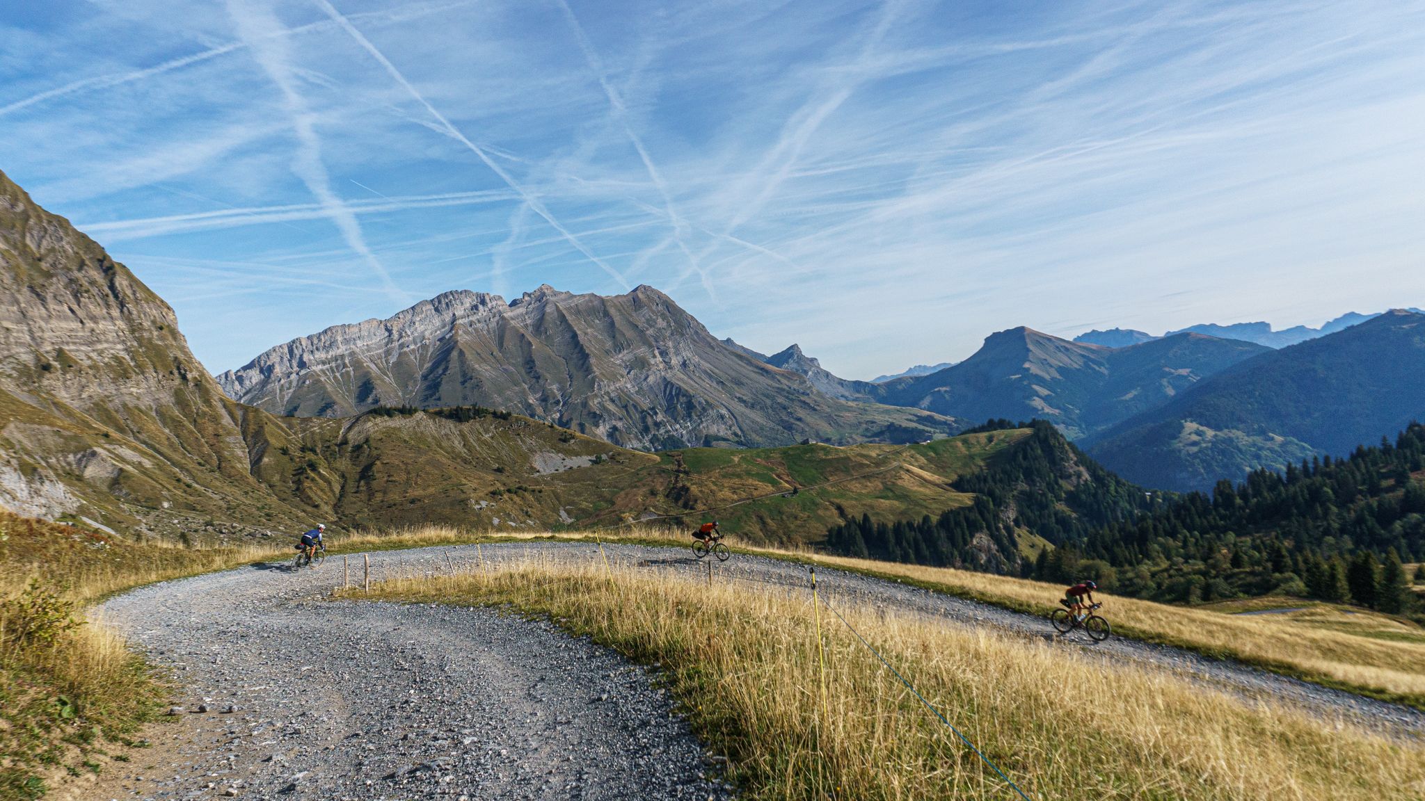
Magnificent view of the Aravis mountain range, on the first kilometers of this gravel descent from Bisanne to Crest-Voland
1
0

good gravel track from Col de la Lezette to the Croix de Pierre refuge
0
0

The pass is 1,989 m high and runs along a paved track between Beaufortain and Val Montjoie. The landscape is dominated by the Aguille Croche peak, where hiking trails lead to its northern summit, where the Alpine glaciers are located. From the summit you can also see the Aravis mountain range or the Girotte dam. In this sense, it is a very popular pass for mountain bike routes.
2
1
The Col de Joly is an impressive mountain pass straddling the Savoie and Haute-Savoie regions. The impressive natural balcony formed at the top is remarkable, offering a wonderful view of the Montblanc massif. The pass is 1,989 m high. It runs along a paved track that runs between Beaufortain and Val Montjoie. The landscape is dominated by the Aguille Croche peak, where hiking trails lead to its northern summit, where the Alpine glaciers are located. From the summit we can also see the Aravis mountain range or the Girotte dam. In this sense, it is a very popular pass for mountain bike routes.
3
1

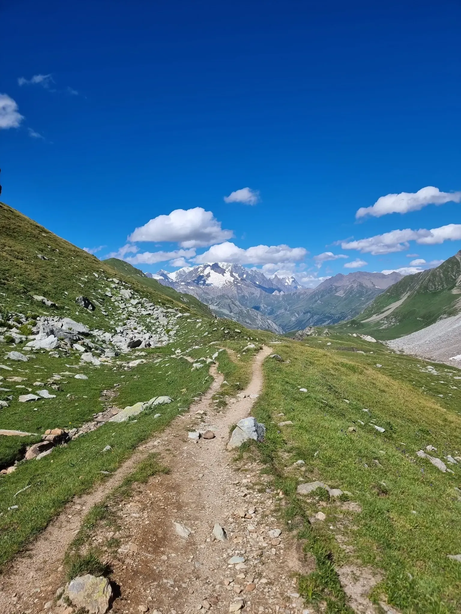
A beautiful view of Mont Blanc
0
0

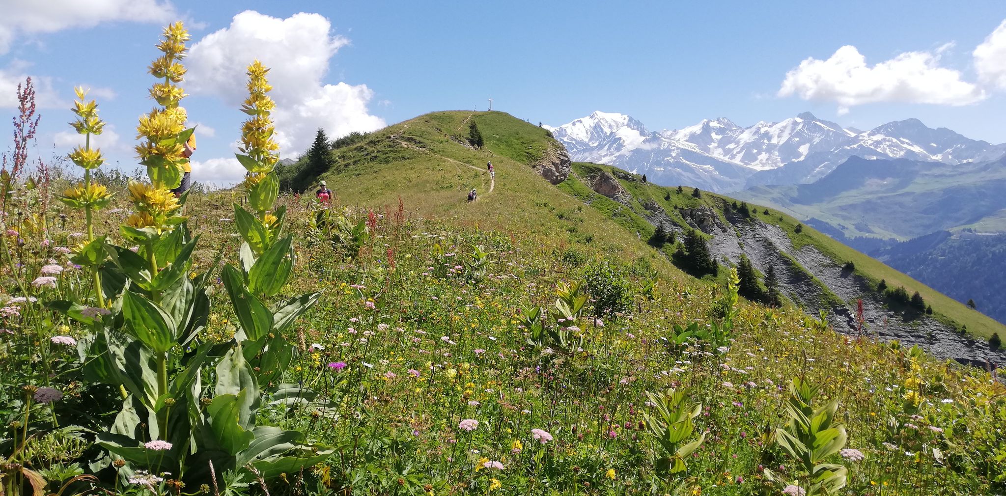
In principle, you can enjoy a panoramic view of the Aravis range, the Beaufortain and the Mont-Blanc massif.
0
0
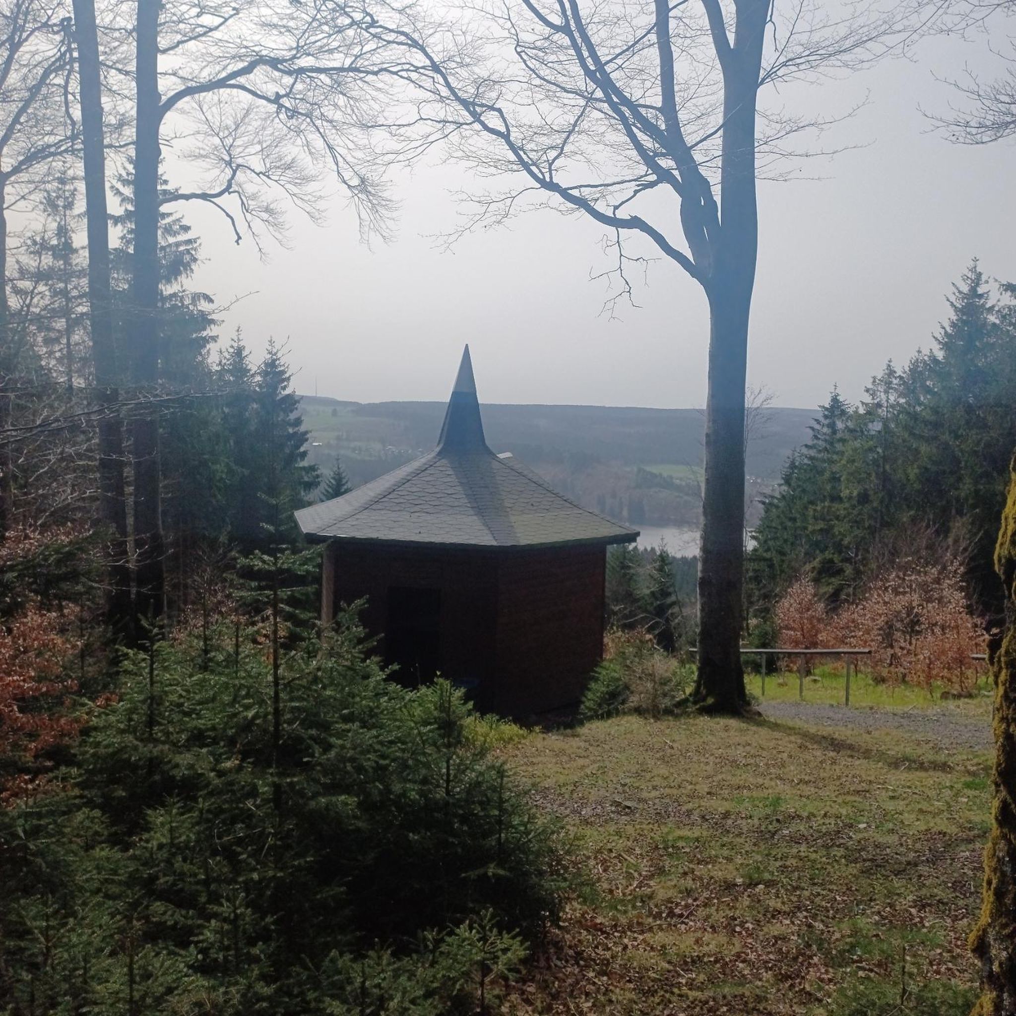
Charmless pass between the ski slopes. The end of the road above Hauteluce offers beautiful views towards Arêches.
1
0
Frequently Asked Questions
How many no traffic touring cycling routes are available in Hauteluce?
There are over 20 no traffic touring cycling routes around Hauteluce, offering a variety of experiences for cyclists looking to explore the stunning Beaufortain region away from cars.
What is the best time of year for no traffic touring cycling in Hauteluce?
The best time for no traffic touring cycling in Hauteluce is typically from late spring to early autumn (May to October). During these months, the mountain passes are generally clear of snow, and the alpine pastures are verdant, offering pleasant temperatures and breathtaking views of Mont Blanc and the surrounding peaks.
What are the difficulty levels of the no traffic touring cycling routes around Hauteluce?
The no traffic touring cycling routes in Hauteluce are primarily designed for experienced cyclists. There are 7 moderate routes and 14 difficult routes, often featuring significant elevation gains as they traverse the challenging and scenic mountain passes of the region.
Are there any scenic viewpoints or natural features along these routes?
Absolutely. Many routes offer awe-inspiring panoramic views, including unobstructed vistas of Mont Blanc. You'll also encounter picturesque alpine lakes like Lac de Roselend and the impressive Barrage de la Girotte. The region is characterized by verdant alpine pastures and diverse ecosystems, such as the Tourbière des Saisies Regional Nature Reserve.
Can I find waterfalls or other natural monuments on these routes?
Yes, the region boasts several natural attractions. You might encounter the Combe Noire Waterfall or the unique Natural Bridge of Contamines-Montjoie, which are part of the stunning gorges around Hauteluce. These natural features add a beautiful dimension to your cycling adventure.
What cultural or historical sites can I explore near the no traffic cycling routes?
Hauteluce is rich in culture and history. The authentic Savoyard village features traditional log cabins and an impressive baroque church with a bulbous bell tower. You can visit the 17th-century baroque Church of Saint Jacques d'Assyrie or the Ecomuseum of Hauteluce to learn about the region's heritage. The area is also part of the 'Pays d'art et d'histoire' (Land of Art and History) 'The paths of the baroque'.
Are there any circular no traffic touring cycling routes in Hauteluce?
Yes, several routes are designed as loops, allowing you to start and end in the same location. For example, the Col du Joly – Col du Joly loop from Barrage de la Girotte offers a challenging ride with rewarding views. Another option is the Col de la Lézette – Mont Bisanne loop from Les Saisies.
Is parking available near the starting points of these routes?
Parking is generally available in the villages and near popular starting points for cycling routes, such as Les Saisies or Barrage de la Girotte. It's advisable to check specific parking options for your chosen route's starting location before you set off.
Are there cafes or places to stop for refreshments along the no traffic routes?
While many of these routes are designed to be traffic-free, they often pass through or near charming hamlets and villages where you can find cafes, restaurants, or small shops. Hauteluce itself offers amenities, and you'll find options in Les Saisies and other points along the way, especially during peak season.
What do other touring cyclists enjoy most about the no traffic routes in Hauteluce?
The komoot community highly rates the no traffic touring cycling routes in Hauteluce, with an average score of 4.8 stars. Reviewers frequently praise the unparalleled Mont Blanc views, the challenging yet rewarding ascents of the famous mountain passes like Col des Saisies, and the serene experience of cycling through preserved alpine landscapes away from vehicle traffic.
How long are the no traffic touring cycling routes in Hauteluce?
The lengths of the no traffic touring cycling routes vary significantly. You can find shorter loops, such as the Col de la Lézette – Col de la Légette loop from Les Saisies at approximately 13 km, to longer, more challenging rides like the Col des Saisies – Signal of Bisanne loop from Réserve naturelle de la Tourbière des Saisies - Beaufortain - Val d'Arly, which spans over 32 km with substantial elevation gain.
Most popular routes around Hauteluce
Most popular attractions around Hauteluce

Get inspired with the komoot mobile app


Explore more
Browse the best Cycling routes in other regions.
