The best hikes from bus stations in Pistoia
4.4
(4963)
20,329
hikers
203
hikes
Hiking in Pistoia offers a diverse landscape, transitioning from gentle hills to the foothills of the Tuscan-Emilian Apennines. The region features extensive ancient forests of chestnut, beech, and fir trees, providing shaded paths and varied ecosystems. Hikers can explore stream valleys, open meadows, and reach mountainous terrain with panoramic views. This varied topography provides a range of bus station hiking trails suitable for different experience levels.
Best bus station hiking trails in Pistoia
- The most popular bus station hiking route…
Last updated: July 10, 2026
4.0
(1)
10
hikers
14.8km
06:02
820m
820m
Hike the difficult Alta via dei Parchi: Stage 09, a 9.2-mile route in the High Apennine of Modena Regional Park with panoramic views.
4.5
(43)
109
hikers
Moderate hike. Good fitness required. Easily-accessible paths. Suitable for all skill levels.

Sign up for free
4.7
(22)
147
hikers
8.62km
02:49
290m
290m
Moderate hike. Good fitness required. Mostly accessible paths. Sure-footedness required.
4.7
(32)
96
hikers
7.50km
02:26
330m
330m
Moderate hike. Good fitness required. Easily-accessible paths. Suitable for all skill levels.
4.5
(14)
68
hikers
Moderate hike. Good fitness required. Easily-accessible paths. Suitable for all skill levels.
Get access to more routes and recommendations from other explorers.
Sign up for free
Already have an account?
Our route recommendations are based on thousands of hikes, rides, and runs completed by other people on komoot.
Start today with a free account
Your next adventure awaits.
Login or Signup
Popular around Pistoia
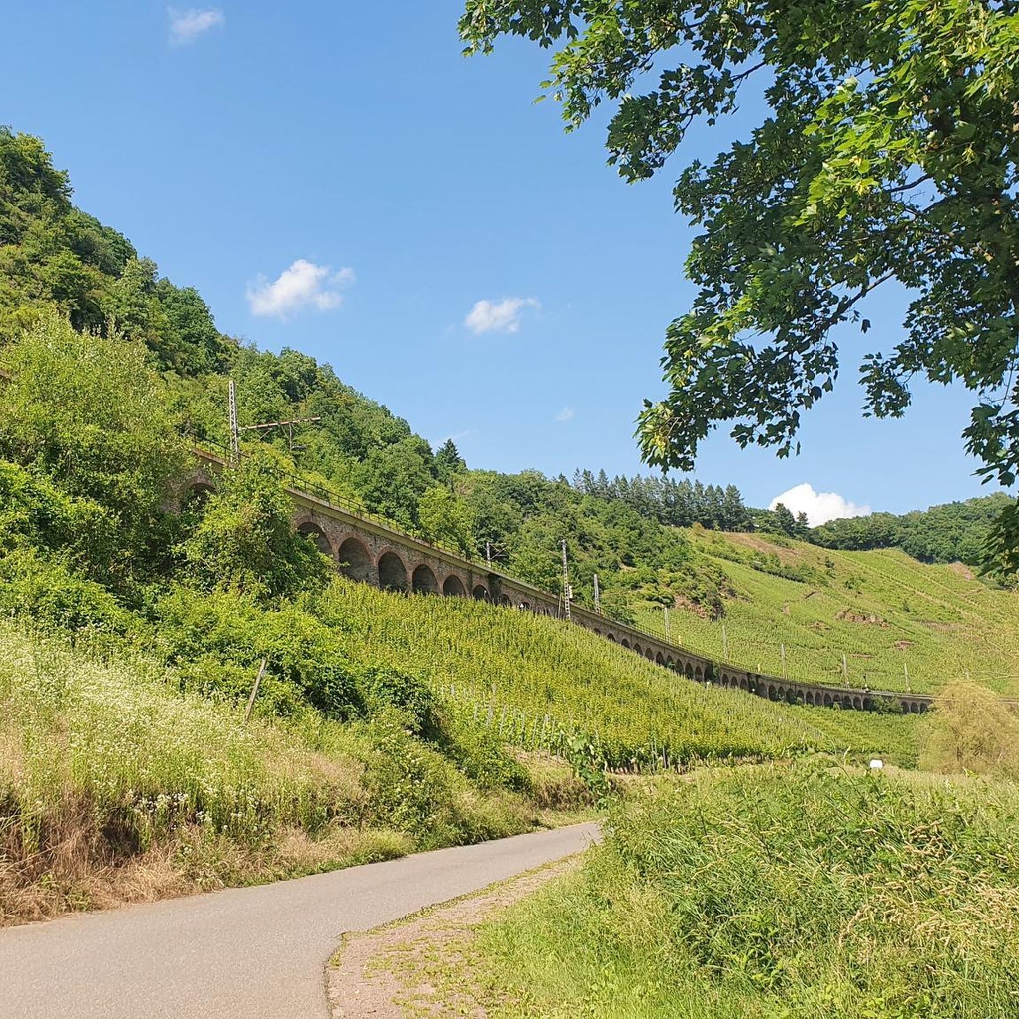
Hikes from bus stations in Riserva Naturale Acquerino
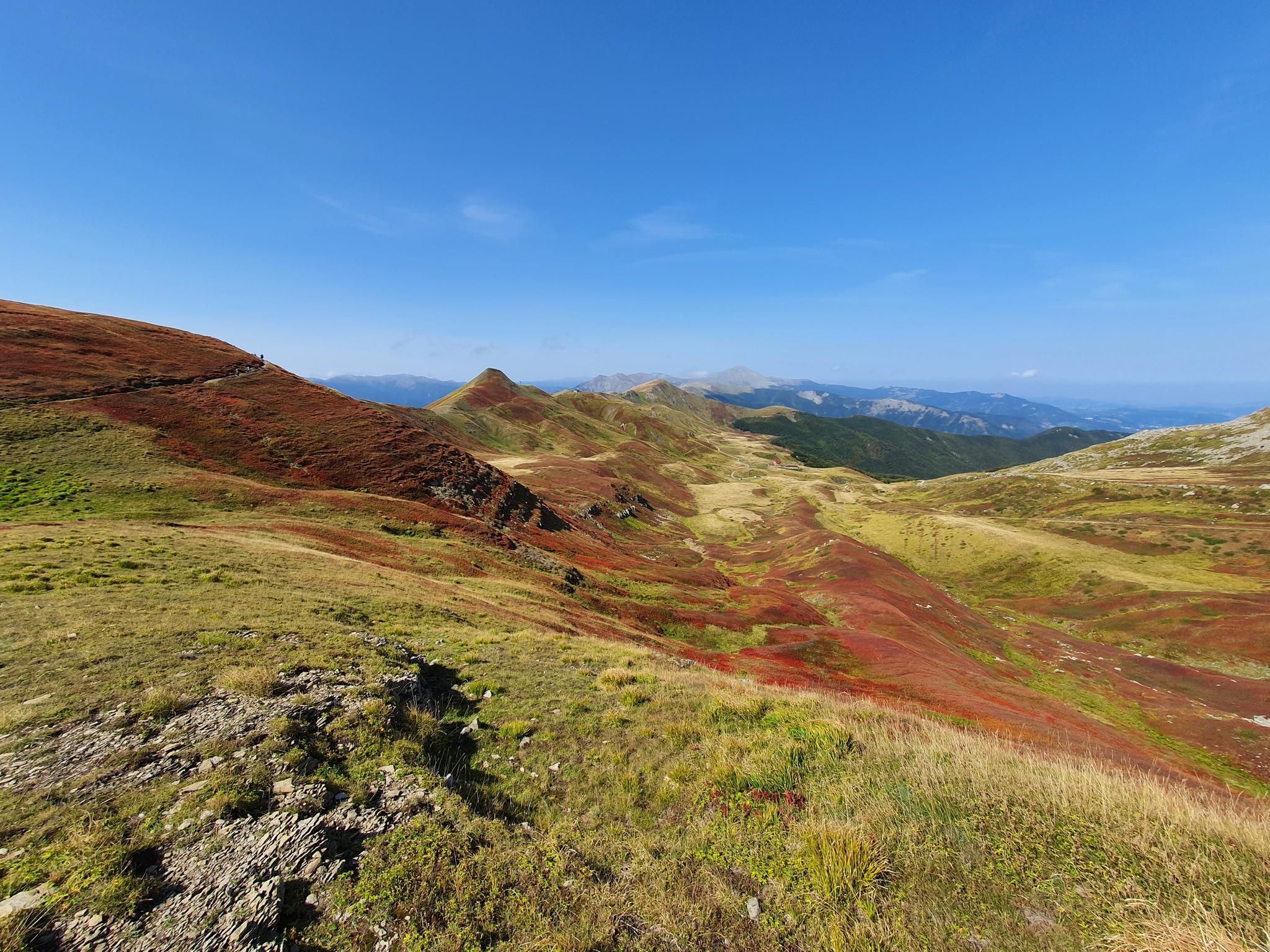
Abetone to Lake Brasimone – Alta Via dei Parchi (part 2)
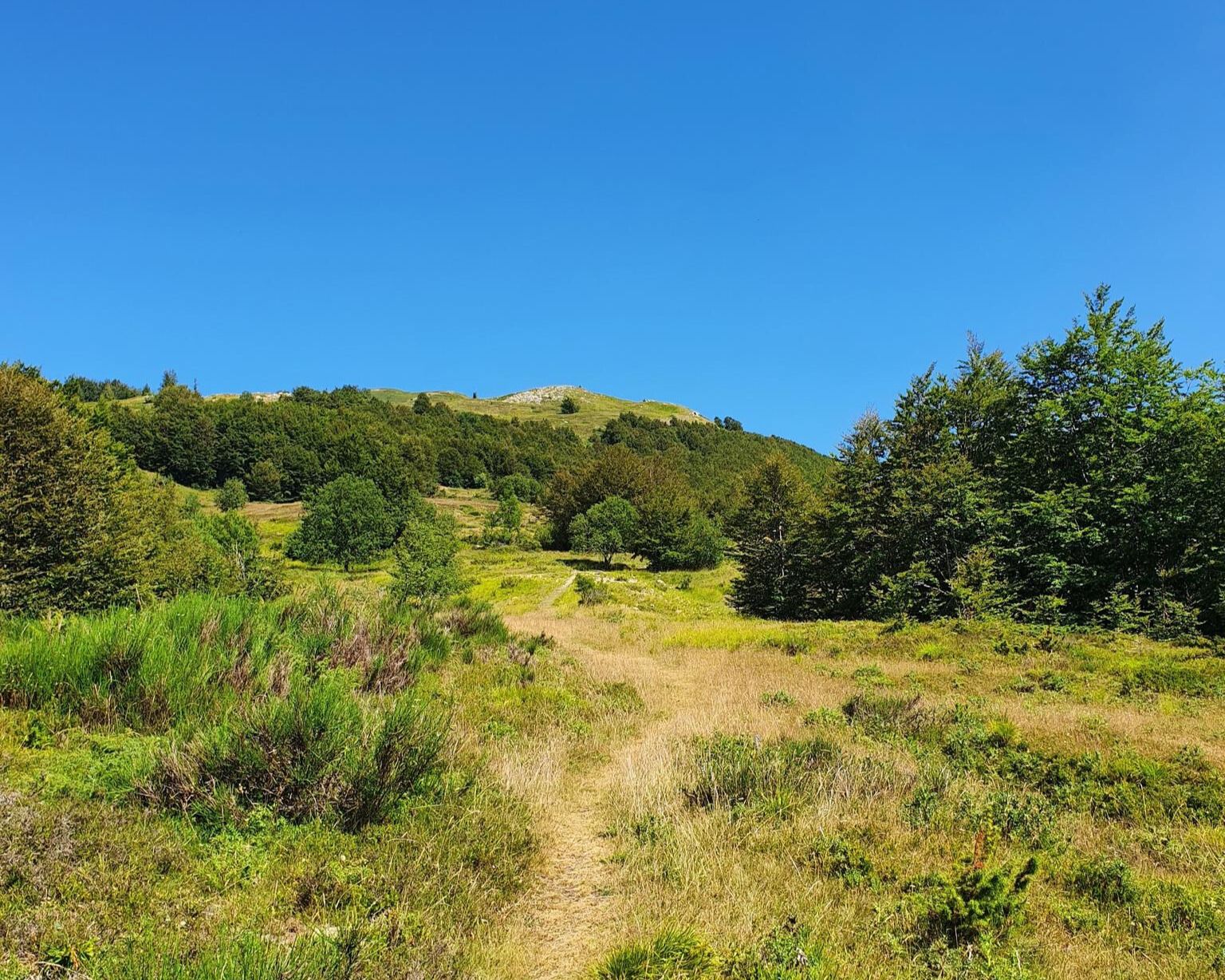
Fiumalbo to Pistoia – Way of St Bartholomew in Italy

Interiora - A Journey into the Remote Areas of Italy
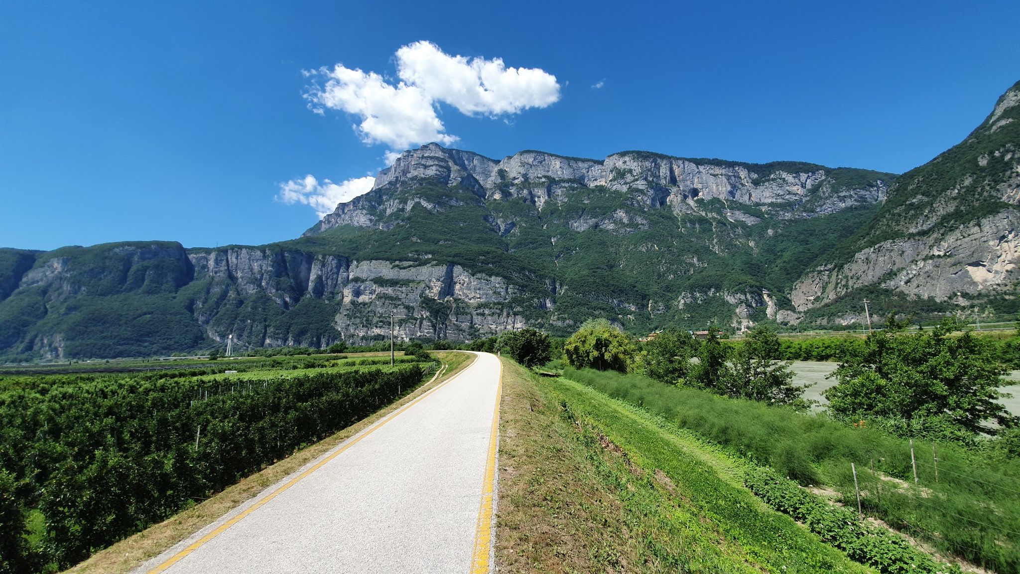
Ciclopista del Sole – Brenner Pass to Florence by bike
Florence to Bolzano – from the heart of Italy to the foot of the Dolomites
Other adventures in Pistoia


Tips from the Community

A jewel to discover on the hills between Montecatini Terme and Pescia
0
0

Going up to Montecatini Alto with the funicular is a beautiful experience, however from this point begins "the short one", the historic climb on foot along the Via Crucis
0
0
The villages of Colle di Buggiano and Massa are two pearls of Valdinievole that deserve a visit, it seems that time has stopped
0
0

One of the mountains on trail 00
0
0

definitely go to the town hall
0
0
not like in Hollywood but still interesting
0
0

Mountain station of the funicular. The view is simply overwhelming.
0
0
Frequently Asked Questions
How many hiking trails are accessible from bus stations in Pistoia?
Pistoia offers nearly 200 hiking trails that are conveniently accessible from various bus stations. These routes cater to a wide range of abilities, from easy strolls to challenging mountain treks.
What kind of terrain can I expect on bus-accessible hikes in Pistoia?
The terrain around Pistoia is incredibly diverse. You can find gentle walks through rolling hills and valleys, paths winding through ancient chestnut, beech, and fir forests, or more challenging ascents into the foothills of the Apennine Mountains. Some routes also traverse stream valleys and open meadows, offering varied landscapes.
Are there any easy, family-friendly hikes accessible by bus from Pistoia?
Yes, there are many easy options suitable for families. For instance, the Valdinievole area offers gentler walks through historic villages and olive groves. A good example is the View of the Valdinievole Plain – Creekside Nature Trail loop from Buggiano, which is an easy route with minimal elevation gain.
What natural attractions can I see on hikes accessible by bus in Pistoia?
Many bus-accessible routes lead to stunning natural features. You can explore the Apennine Mountains, ancient forests, and picturesque river valleys. Highlights include the glacial Lago Nero (Abetone), the dramatic View of Lago Nero, and the scenic Trail along the ridge between Croce Arcana and Lago Scaffaiolo. The Acquerino's Twin Reserves are also known for their rich forest ecosystems.
Are there any circular hiking routes that start and end at a bus stop?
Yes, several circular routes are available. For example, the View of the Castello di Cozzile – View of the gate of Cozzile Castle. loop from Massa offers a moderate circular hike. Another option is the Rock Climbing Cliff – Campanile di Montecarlo loop from Monsummano Terme, which provides a moderate challenge.
What is the best time of year to go hiking in Pistoia using public transport?
Spring and autumn are generally the best seasons for hiking in Pistoia. In spring, the forests burst with wildflowers, and in autumn, the ancient forests display spectacular colors. Summer can be warm, especially at lower elevations, but higher Apennine routes offer cooler temperatures. Winter hiking is possible, particularly on lower trails, but higher mountain areas may require snowshoes or specific winter gear.
Can I bring my dog on these bus-accessible hiking trails?
Most hiking trails in the Pistoia region are dog-friendly, provided your dog is well-behaved and kept on a leash, especially in nature reserves or areas with livestock. Always check local regulations for specific trails or protected areas before you go.
What do other hikers enjoy most about the bus-accessible trails in Pistoia?
The komoot community highly rates the hiking experience in Pistoia, with an average score of 4.5 stars. Reviewers often praise the region's diverse landscapes, from rolling hills to the Apennine peaks, and the convenience of accessing these natural areas via public transport. The ancient forests and stunning panoramic views are frequently highlighted.
Are there any challenging hikes accessible by bus for experienced trekkers?
Absolutely. For experienced hikers, routes leading into the Apennine Mountains offer significant challenges. An example is the Alta via dei Parchi: Stage 09, which is a difficult route with substantial elevation gain, providing a rewarding experience in the higher elevations.
Are there any historical or cultural landmarks along the bus-accessible routes?
Yes, the region is rich in history. Many trails pass through or near charming villages and historical sites. The Ecomuseo della Montagna Pistoiese highlights the area's historical practices, and you might encounter features like the Campari Fountain, Le Piastre. The View of the gate of Cozzile Castle. – View of Massa e Cozzile loop from Borgo a Buggiano also offers a glimpse into local history.
Most popular routes in Pistoia
Most popular attractions in Pistoia

Get inspired with the komoot mobile app


Didn’t find what you were looking for?
Check out more Hikes throughout Pistoia below and find the perfect route in your destination.
Explore more
Browse the best Hikes in other regions.
