The best walks and hikes around Lohfelden
4.7
(288)
1,551
hikers
139
hikes
Hiking around Lohfelden offers diverse landscapes characterized by rolling hills and proximity to the Fulda River. The region provides access to the Söhre, a wooded Mittelgebirge, which extends into the Geo-Naturpark Frau-Holle-Land. This varied topography includes expansive forests, river valleys, and unique geological formations, creating a rich environment for outdoor activities.
Best hiking trails around Lohfelden
- The most popular hiking route is Vollmarshausen Burial Ground – Ancient Tree on the Wahlebach loop from Lohfelden, a 4.5 miles (7.2 km)…
Last updated: July 5, 2026
4.7
(11)
60
hikers
Easy hike. Great for any fitness level. Easily-accessible paths. Suitable for all skill levels.
4.8
(17)
50
hikers
6.59km
01:49
110m
110m
Easy hike. Great for any fitness level. Easily-accessible paths. Suitable for all skill levels.

Sign up for free
4.8
(9)
47
hikers
7.82km
02:10
140m
140m
Moderate hike. Good fitness required. Easily-accessible paths. Suitable for all skill levels.
4.4
(9)
33
hikers
Moderate hike. Good fitness required. Easily-accessible paths. Suitable for all skill levels.
4.8
(15)
39
hikers
9.12km
02:33
170m
180m
Moderate hike. Good fitness required. Easily-accessible paths. Suitable for all skill levels.
Get access to more routes and recommendations from other explorers.
Sign up for free
Already have an account?
Our route recommendations are based on thousands of hikes, rides, and runs completed by other people on komoot.
Start today with a free account
Your next adventure awaits.
Login or Signup
Tips from the Community

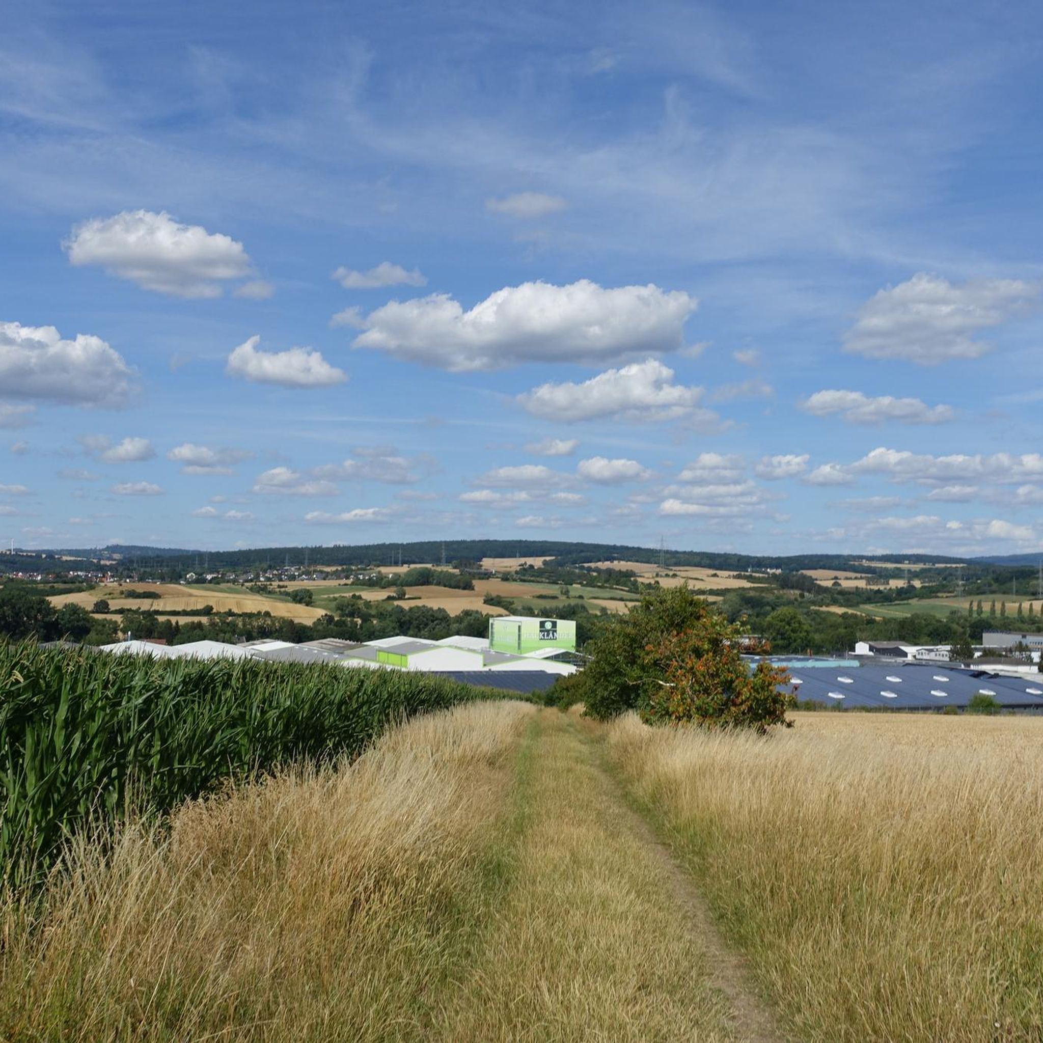
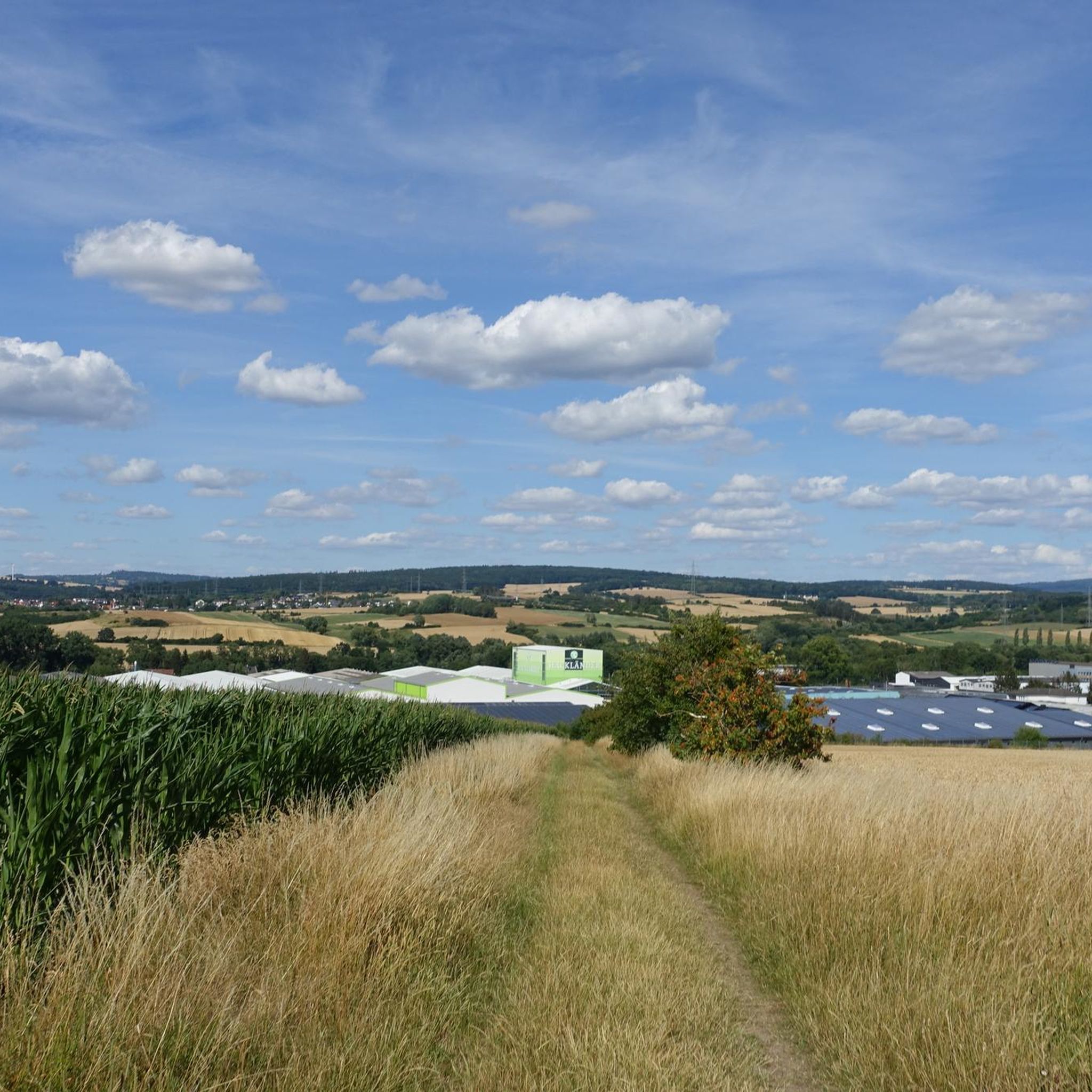
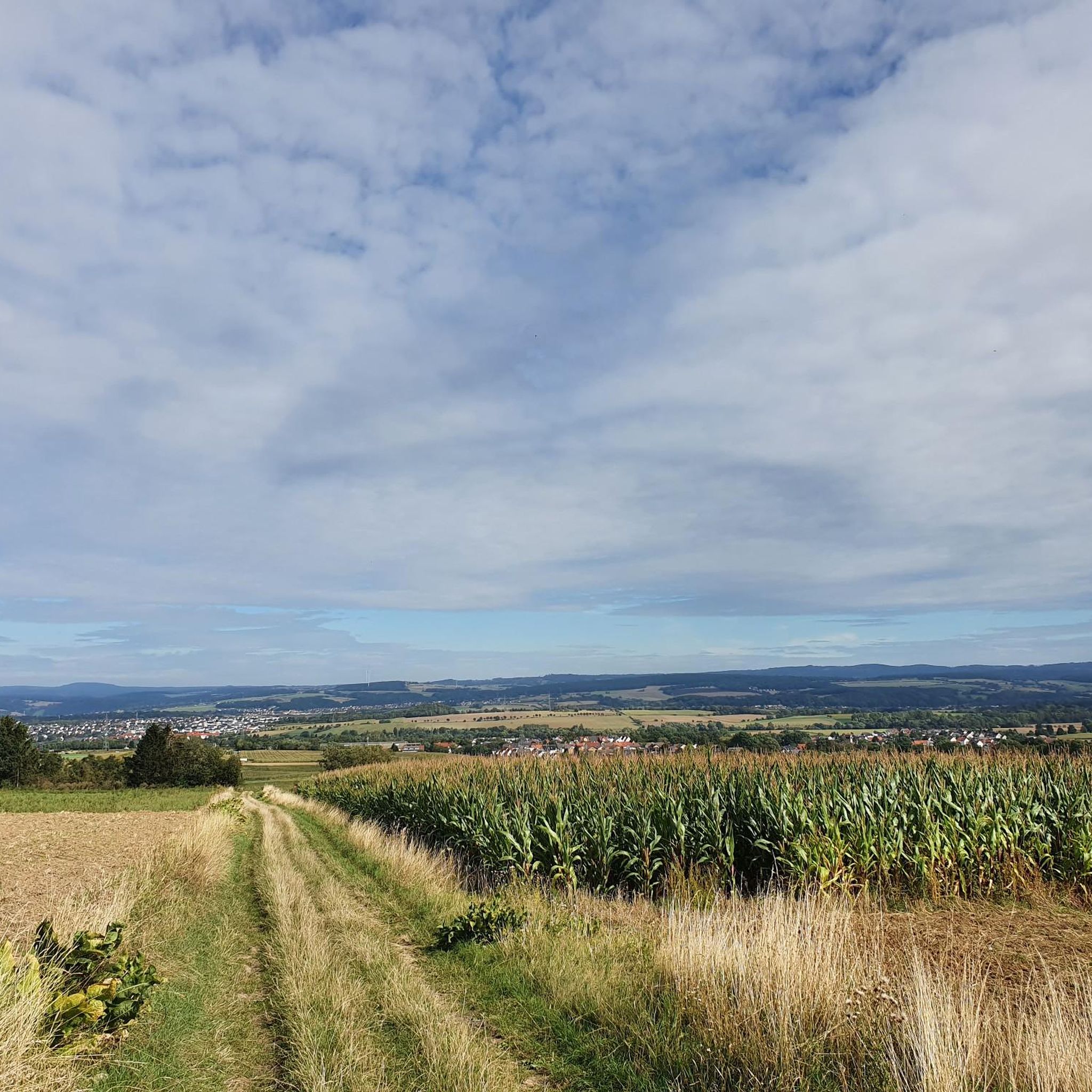
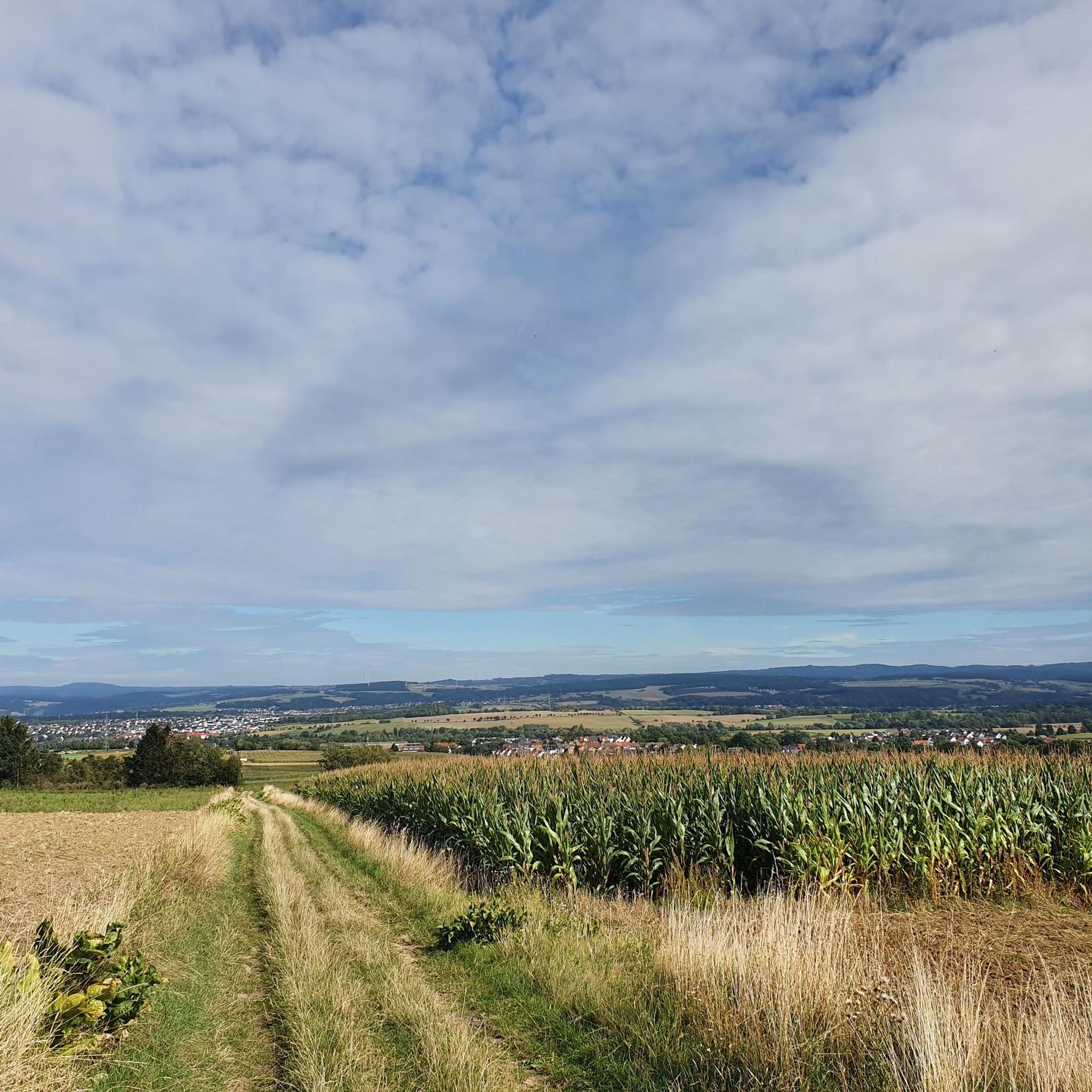
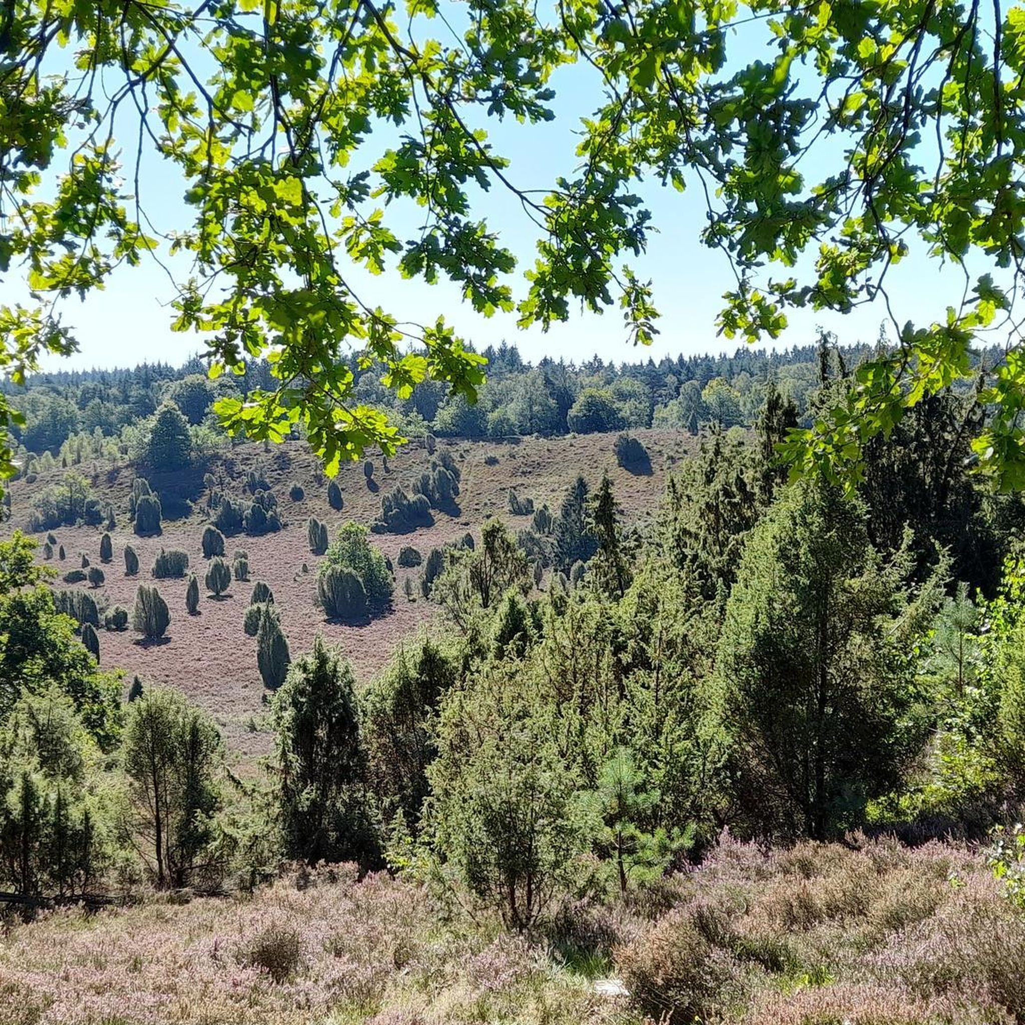
Beautiful view into the Kassel Basin
0
0


The polar bears are easy to miss, but great as a photo opportunity. However, that is not the reason why the polar bears are there. Polar bears live in the Arctic, the region of the earth that surrounds the North Pole. The Arctic also includes the Arctic Ocean, which is largely covered by ice. Polar bears have adapted to a diet of marine mammals (sea seals, gray seals) over thousands of years and are dependent on them. Global warming is causing the Arctic pack ice, the habitat of polar bears and their prey, to melt. As a result, the polar bears not only lose their hunting territory but also the retreat to raise their young. Another acute threat to polar bears is the heavy hunting - including seals - and the encroachment on the habitat caused by the increasing exploitation of oil and gas deposits in the Arctic. But not just polar bears - Many other animal and plant species in all regions of the world are threatened by global warming.
0
0
Unfortunately it is partly impassable, but a very instructive path
0
0
Very educational hiking trail and shows you how important it is to treat nature responsibly
0
0
The energy route is very educational and rich in wind turbines. Some paths are “off-grid”, but if you are sure-footed, this should be easy to manage
0
0
These polar bears look so real. The energy hiking trail shows you what effects climate change has on nature and its animals
0
0
Frequently Asked Questions
How many hiking trails are available around Lohfelden?
Lohfelden offers a wide variety of hiking experiences, with over 150 routes to explore. These trails range from easy strolls to more challenging forest treks, catering to different fitness levels and preferences.
What kind of terrain can I expect on hikes in Lohfelden?
The landscape around Lohfelden is characterized by rolling hills, picturesque river valleys, and the forested Söhre Mittelgebirge. You'll find expansive forests, natural features, and varied topography, providing a rich and diverse hiking environment.
Are there easy hiking options suitable for beginners or casual walkers?
Yes, Lohfelden is very welcoming for beginners and casual walkers. Over 90 of the routes are rated as easy. A great example is the Obermühle Vollmarshausen loop from Lohfelden, an easy 4.1-mile (6.6 km) path offering views of the local countryside and a historic mill.
What are the best times of year to go hiking in Lohfelden?
The best seasons for hiking in Lohfelden are spring and autumn. In spring, the meadows are vibrant with blossoms, while autumn transforms the foliage into stunning golden and red hues, creating a beautiful backdrop for your walks. The temperate climate makes it pleasant for outdoor activities throughout the year.
Are there any circular hiking routes in Lohfelden?
Yes, many of the trails around Lohfelden are designed as circular routes, allowing you to start and end at the same point. For instance, the Vollmarshausen Burial Ground – Ancient Tree on the Wahlebach loop from Lohfelden is a popular circular trail that passes by historical sites and natural features.
What natural features or landmarks can I see while hiking in Lohfelden?
Lohfelden offers access to diverse natural features. You can explore the Söhre, a wooded Mittelgebirge, which extends into the Geo-Naturpark Frau-Holle-Land. The region also features river valleys, such as those along the Fulda River, and unique geological formations. For panoramic views, consider the View of Kassel and Lohfelden – Söhre Nature Trail loop from Lohfelden.
Are there any castles or historical sites near the hiking trails?
While hiking in Lohfelden, you're close to several historical attractions. Notable castles in the wider region include Wilhelmshöhe Palace and Löwenburg, both offering a glimpse into the area's rich heritage. The Vollmarshausen Burial Ground – Ancient Tree on the Wahlebach loop from Lohfelden also passes by historical sites.
What do other hikers enjoy most about hiking in Lohfelden?
The hiking trails around Lohfelden are highly rated by the komoot community, with an average score of 4.7 stars from over 280 reviews. Hikers often praise the diverse landscapes, from rolling hills and river valleys to the forested Söhre Mittelgebirge, and the variety of routes suitable for all levels.
Are there any family-friendly hiking routes in Lohfelden?
Many of the easy and moderate routes in Lohfelden are suitable for families. The varied terrain, including green spaces like the "Grüne Mitte" Recreational Area, provides engaging walks for all ages. Look for trails with lower elevation gains and shorter distances for a pleasant family outing.
Can I bring my dog on the hiking trails in Lohfelden?
Generally, dogs are welcome on hiking trails in Lohfelden. It's always a good idea to keep your dog on a leash, especially in nature protection areas or near wildlife. Please ensure you clean up after your pet to maintain the natural beauty of the trails for everyone.
Are there options for longer or more challenging hikes?
Yes, for those seeking a greater challenge, Lohfelden offers moderate and difficult routes. There are 47 moderate and 11 difficult trails. The View of the Kassel Basin – Vollmarshausen Burial Ground loop from Vollmarshäuser Teiche is a moderate 8-mile (12.9 km) route with significant elevation changes, providing a more demanding experience.
Where can I find parking for hiking trails in Lohfelden?
Parking is generally available near trailheads and popular starting points in and around Lohfelden. Many routes, especially those starting from the municipality itself or nearby villages like Vollmarshausen, offer convenient access for drivers. Specific parking details are often available on individual route pages.
Are there any viewpoints or panoramic trails in the area?
Yes, Lohfelden and its surroundings are known for panoramic trails that offer breathtaking views. The View of Kassel and Lohfelden – Söhre Nature Trail loop from Lohfelden is an excellent choice for scenic vistas over the region and the city of Kassel.
Most popular routes around Lohfelden
Most popular attractions around Lohfelden

Get inspired with the komoot mobile app


Explore more
Browse the best Hikes in other regions.
