The best hikes from bus stations in Solway Coast Aonb
4.3
(438)
4,065
hikers
31
hikes
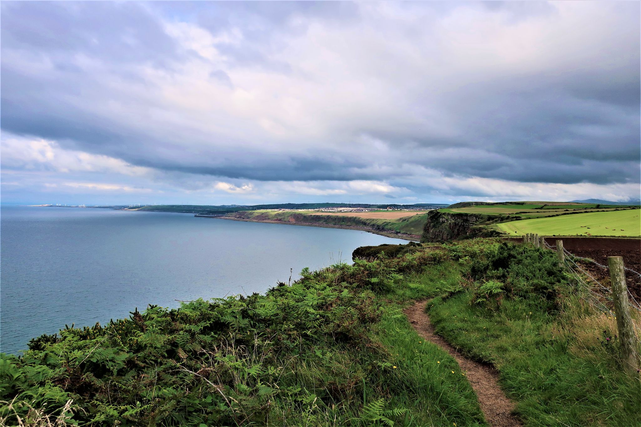
Bus accessible walks in Solway Coast AONB traverse a diverse landscape of coastal paths, sandy beaches, and extensive salt marshes along the Solway Firth. The region features peat bogs, sand and mud flats, and rugged cliffs, offering varied terrain for hikers. Expansive views across the Solway Firth towards Scotland are common, with historical sites like Hadrian's Wall remnants and ancient fortified churches adding cultural interest. The area is characterized by open skies and a tranquil atmosphere, providing a range of…
Last updated: July 9, 2026
4.3
(12)
64
hikers
Moderate hike. Good fitness required. Easily-accessible paths. Suitable for all skill levels.
4.1
(7)
18
hikers
Moderate hike. Good fitness required. Easily-accessible paths. Suitable for all skill levels.

Sign up for free
5.0
(2)
16
hikers
13.6km
03:27
30m
30m
Moderate hike. Good fitness required. Easily-accessible paths. Suitable for all skill levels.
5.0
(1)
20
hikers
18.0km
04:35
50m
50m
Moderate hike. Good fitness required. Easily-accessible paths. Suitable for all skill levels.
4.0
(3)
26
hikers
Easy hike. Great for any fitness level. Easily-accessible paths. Suitable for all skill levels.
Get access to more routes and recommendations from other explorers.
Sign up for free
Already have an account?
Our route recommendations are based on thousands of hikes, rides, and runs completed by other people on komoot.
Start today with a free account
Your next adventure awaits.
Login or Signup
Popular around Solway Coast Aonb
Other adventures in Solway Coast Aonb

Tips from the Community

This is the place where one of the most formidable English monarchs died when he developed fever during a campaign against the Scots in 1307. This is where Edward the First died, and being an iconic historical figure, this small, quaint monument was erected in his honour in 2007.
0
0
Bowness-on-Solway is best known as being the western end of the iconic Hadrian's Wall. There is a small shelter here to mark the start of this national trail. You will not see much of the wall until after Carlisle, but the wall did originally start at the village with even more forts further down the coast. Being an estuary, this area is also a haven for wildlife and birdwatching.
0
0

In 1823, a 11.5 mile canal was dug to link the Solway Firth to Carlisle for the transport by barge of heavy goods. The canal was eventually filled in and replaced by a railway line.
0
0

The King Edward I Monument in Burgh by Sands is an impressive and historic memorial marking the spot where King Edward I died in 1307 during his campaign against Scotland. The king died here on 7 July 1307, while preparing to attack Robert the Bruce, his Scottish adversary. Originally built in 1685, it is made of red sandstone and is now a Grade II listed monument* in England. The monument stands alone in the landscape, surrounded by a metal fence, and bears an inscription describing Edward I as the "Hammer of the Scots."
10
0
For cyclists, it's not worthwhile to continue. There's a double lock here, keeping cyclists out. And beyond that, you're in a swampy marsh, which somewhat discourages you from continuing on foot. But here you can also admire the large monument.
11
0
On the banks of the River Ellen, near Maryport Harbor, stands the striking sculpture "A Fishy Tale." This creation by artist Colin Telfer depicts two fishermen, a curious boy, and a dog peering together at a basket full of fish. Made of red sandstone, epoxy resin, and hematite dust, the artwork exudes not only craftsmanship but also warmth and local pride. With expressive poses and a touch of humor, this sculpture provides a tangible reminder of Maryport's fishing past.
1
0
Originally built in the 12th century on the remains and with stones from the Roman fort of Aballava, part of Hadrian's Wall, King Edward I died near this site in 1307. His body lay in state here before being transferred to Westminster Abbey. It is one of only three surviving fortified churches in Cumbria and has two towers: The west tower has wrought-iron gates, arrow slits, and a crenellated roof—originally built as a shelter during border conflicts. The east tower was later lowered and served as a schoolroom in the 18th century. The architecture is a mix of Norman and Gothic. A decorated entrance features beakhead motifs (a rare Romanesque detail). Stained glass windows depict northern saints and King Edward I. A Roman corbel is set into the wall.
12
0
The statue of King Edward I is located in Burgh by Sands—the place where he died in 1307 during a military campaign against Scotland. Created in 2007 by artist Christopher Kelly, the statue depicts Edward I, also known as Longshanks, in a stately pose wearing medieval armor.
10
0
Frequently Asked Questions
How many bus station hiking trails are available in Solway Coast National Landscape?
There are over 30 hiking trails accessible directly from bus stations within the Solway Coast National Landscape. These routes offer a variety of experiences, from easy coastal strolls to more moderate explorations of the area's unique landscapes.
What kind of scenery can I expect on bus-accessible hikes in the Solway Coast National Landscape?
The Solway Coast National Landscape offers incredibly diverse scenery. You can expect stunning sandy beaches, extensive salt marshes, and views across the Solway Firth towards Scotland. Many routes also pass through charming villages and offer glimpses of historical sites, providing a rich blend of natural beauty and cultural heritage.
Are there any easy, family-friendly bus station hikes in the Solway Coast National Landscape?
Yes, there are several easy routes perfect for families. For a shorter, gentle walk, consider the Anthorn Radio Station – Skinburness Coastal Path loop from Silloth-on-Solway. This easy route is just over 3.7 km and offers pleasant coastal views without significant elevation gain.
What historical sites can I see along bus-accessible hiking trails?
The region is rich in history. Many trails offer access to ancient Roman remnants, including sections near Hadrian's Wall. You might encounter sites like St Michael's Church in Burgh by Sands, built with Roman stones, or the Hadrian's Wall Path Pavilion and Stamping Station. The Statue of Edward I – King Edward I Monument loop from Burgh by Sands is a great option to explore some of this history.
Are there any circular bus station routes for hiking?
Yes, many of the bus-accessible routes are circular, allowing you to start and end at the same bus stop. A popular choice is the Molly's Path – Bowness-on-Solway loop from Bowness-on-Solway, which offers a moderate 13.5 km walk with lovely coastal views.
What is the best time of year to hike the bus-accessible trails in Solway Coast National Landscape?
The Solway Coast National Landscape is beautiful year-round, but spring and summer offer the mildest weather and best opportunities for wildlife spotting, especially migratory birds. Autumn provides stunning coastal colours. Winter walks can be invigorating, but be prepared for potentially strong winds and colder temperatures, especially along the exposed coastline.
What kind of wildlife can I expect to see on these trails?
The Solway Coast is internationally important for its birdlife and rare plants. Hikers can enjoy excellent birdwatching, particularly in areas with salt marshes and mudflats, which are crucial for wading birds and waterfowl. Keep an eye out for various species along the coast and in nature reserves like RSPB Glasson Moss.
Are there any longer, more challenging bus station hikes available?
While most routes are easy to moderate, some offer a longer distance for those seeking more of a challenge. The View of Solway Coast – Maryport Harbour loop from Allonby is a moderate 17.7 km route that provides extensive coastal views and a good workout.
What do other hikers enjoy most about hiking in Solway Coast National Landscape?
The area is highly rated by the komoot community, with an average score of 4.27 stars. Reviewers often praise the tranquil atmosphere, the expansive coastal views, and the opportunity to combine natural beauty with historical exploration, all easily accessible by public transport.
Can I find viewpoints or scenic spots along the bus-accessible trails?
Absolutely. The Solway Coast is renowned for its open skies and panoramic vistas. Many trails offer breathtaking views across the Solway Firth towards Scotland. Keep an eye out for designated viewpoints like the View of Solway Coast, which provides excellent photo opportunities.
Are there any specific natural features to look out for on these hikes?
Beyond the stunning coastline, the region features unique natural habitats such as extensive salt marshes and peat bogs. These areas, like Burgh Marsh or Mawbray Banks Nature Reserve, are important for biodiversity and offer a different kind of natural beauty to explore.
Most popular routes in Solway Coast Aonb
Most popular attractions in Solway Coast Aonb

Get inspired with the komoot mobile app


Explore more
Browse the best Hikes in other regions.
