The best traffic-free bike rides in Val Da Rabeda
32
riders
6
rides
No traffic gravel bike trails in Val Da Rabeda traverse a diverse landscape characterized by forested valleys, rolling hills, and extensive river systems. The region, situated within a natural park near Orense, offers varied terrain with significant elevation changes. These physical features provide a dynamic environment for gravel biking, with routes exploring both lower valleys and higher ground.
Best no traffic gravel bike trails in Val Da Rabeda
- The most popular no traffic gravel bike trail is Cachamuíña Reservoir –…
Last updated: July 9, 2026
2
riders
71.1km
05:07
1,460m
1,460m
Hard gravel ride. Very good fitness required. Mostly paved surfaces. Suitable for all skill levels.
2
riders
51.4km
03:22
750m
750m
Hard gravel ride. Very good fitness required. Mostly paved surfaces. Suitable for all skill levels.

Sign up for free
2
riders
47.7km
03:19
790m
790m
Hard gravel ride. Very good fitness required. Mostly paved surfaces. Suitable for all skill levels.
2
riders
31.3km
02:18
600m
600m
Hard gravel ride. Very good fitness required. Mostly paved surfaces. Suitable for all skill levels.
1
riders
38.6km
02:42
660m
660m
Hard gravel ride. Very good fitness required. Mostly paved surfaces. Suitable for all skill levels.
Our route recommendations are based on thousands of hikes, rides, and runs completed by other people on komoot.
Start today with a free account
Your next adventure awaits.
Login or Signup
Popular around Val Da Rabeda

Tips from the Community

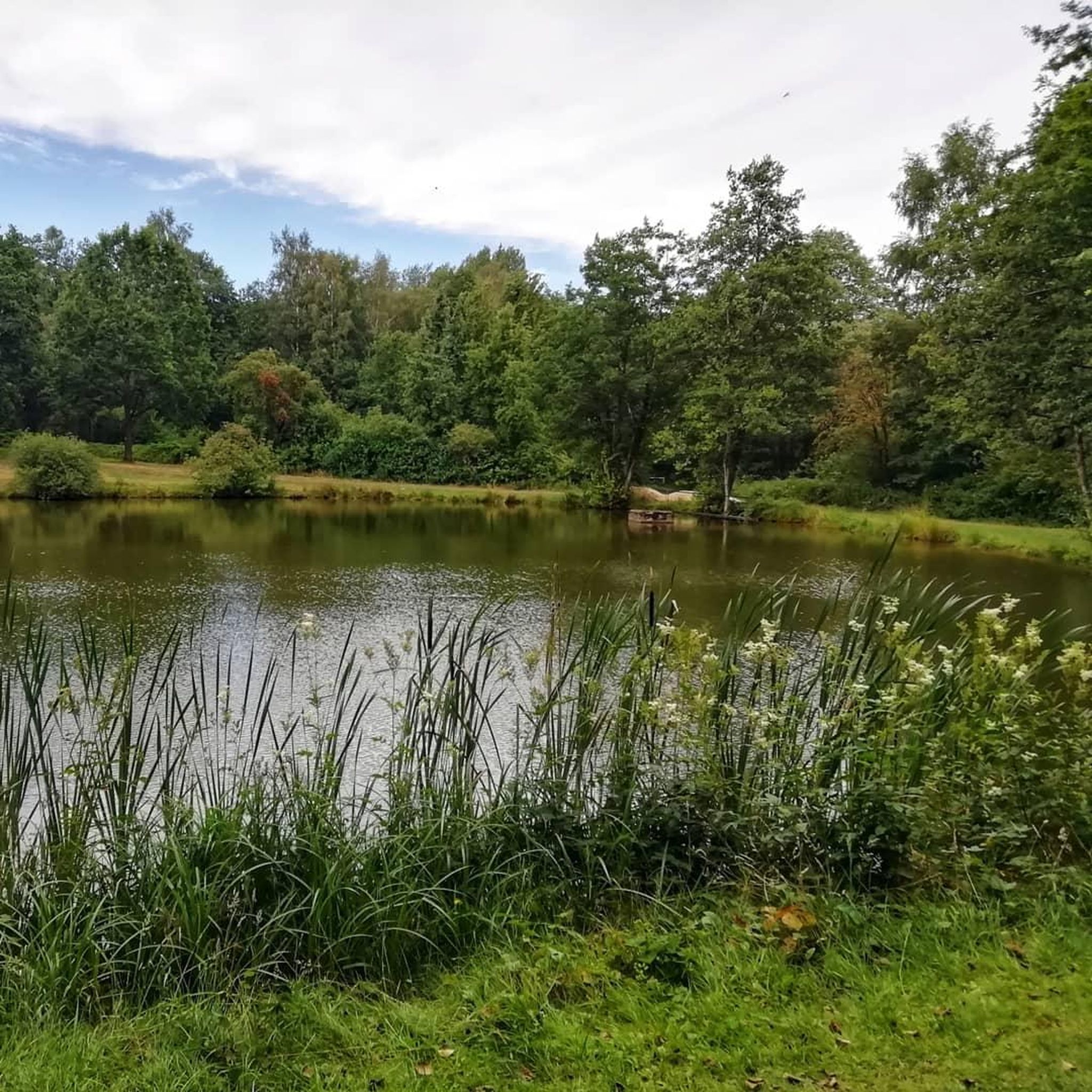
Location: in the municipality of Pereiro de Aguiar (Ourense), on the Loña River, a tributary of the Miño. Uses: water supply, irrigation, hydroelectric power generation, fishing; it is not navigable or suitable for swimming. Circular walk: approximately 4 km (3.7 km to be exact), easy difficulty, ideal for families and dogs—although they must be kept on a leash—offering shade, rest areas, and beautiful views.
1
0
Location: in the municipality of Pereiro de Aguiar (Ourense), on the Loña River, a tributary of the Miño. Uses: water supply, irrigation, hydroelectric power generation, fishing; it is not navigable or suitable for swimming. Circular walk: approximately 4 km (3.7 km to be exact), easy difficulty, ideal for families and dogs—although they must be kept on a leash—offering shade, rest areas, and beautiful views.
1
0


Beautiful granaries and photo opportunity 🤙
0
0

Circular route around the reservoir, highly recommended
0
0
a set of granaries worth seeing
0
0

The mills of the Lonia River are old water mills located along the course of the Lonia River, in the province of Ourense. They were historically used to grind cereals using the power of the water. These mills, now in disuse or restored for tourist purposes, are part of the ethnographic heritage of the region. They are located at different points along the river, from its source to its confluence with the Miño River, and are part of hiking routes that allow you to enjoy the landscape and local history.
0
0
The medium-sized lake is an ideal spot for outdoor activities such as hiking, cycling and wildlife watching. The surroundings are characterised by the tranquillity of its wooded landscapes, with panoramic views and a peaceful atmosphere, making it a popular destination for those looking to unwind and enjoy the outdoors.
0
0
Frequently Asked Questions
How many no-traffic gravel bike trails are available in Val Da Rabeda?
Val Da Rabeda offers several dedicated no-traffic gravel bike trails. Our guide features 6 challenging routes that allow you to explore the region's diverse landscapes away from cars.
What kind of terrain can I expect on Val Da Rabeda's gravel bike trails?
The terrain in Val Da Rabeda is quite varied, featuring forested valleys, rolling hills, and paths alongside river systems. You'll encounter significant elevation changes, providing a dynamic and engaging experience for gravel biking.
Are there any challenging no-traffic gravel routes for experienced riders?
Yes, all the no-traffic gravel routes featured in this guide are rated as difficult, making them suitable for experienced riders looking for a challenge. For instance, the Cachamuíña Reservoir – Cachamuíña Reservoir loop from I.T.V. de Ourense covers over 71 km with significant elevation gain.
Can I find circular gravel bike routes in Val Da Rabeda?
Absolutely. Many of the no-traffic gravel bike trails in Val Da Rabeda are designed as loops, allowing you to start and finish at the same point. Examples include the Chapel of Santa Mariña – Pereiras Fountain loop and the Allariz Roman Bridge loop.
What natural features or landmarks can I see along the gravel trails?
The routes often pass by notable natural and historical features. You might encounter the expansive Monte das Chairas Reservoir, the scenic A Boutureira Waterfall, or historical points like the Chapel of Santa Mariña and the Allariz Roman Bridge, depending on your chosen route.
What is the typical length and elevation gain for these no-traffic gravel routes?
The no-traffic gravel routes in Val Da Rabeda vary in length, generally ranging from 35 km to over 70 km. Elevation gains are substantial, typically between 500 meters and 1400 meters, reflecting the region's hilly topography.
Are there any routes that pass by reservoirs or water bodies?
Yes, several routes incorporate water bodies into their scenic paths. The Cachamuíña Reservoir – Cachamuíña Reservoir loop from Tanatorio is a prime example, offering views of the reservoir.
What are the best starting points for no-traffic gravel biking in Val Da Rabeda?
Starting points for these routes are often accessible from various locations around the region. For example, you can begin a loop from Tanatorio for the Cachamuíña Reservoir route, or from I.T.V. de Ourense for the Chapel of Santa Mariña loop, and even from Mármoles for the Allariz Roman Bridge loop.
What makes Val Da Rabeda a good destination for gravel biking?
Val Da Rabeda's appeal for gravel biking lies in its diverse and dynamic landscape, situated within a natural park near Orense. The combination of forested valleys, rolling hills, and river systems provides a constantly changing environment with varied terrain and significant elevation changes, perfect for exploration on two wheels away from traffic.
Are there any specific routes recommended for exploring the natural park area?
To immerse yourself in the natural park's beauty, consider routes that traverse its varied terrain. The Gravel loop from Barrocás offers a great way to experience the region's natural environment with its challenging climbs and descents through scenic landscapes.
Most popular routes in Val Da Rabeda

Get inspired with the komoot mobile app


Explore more
Browse the best Gravel rides in other regions.
