Perlenbach-Fuhrtsbachtal-Talsystem
Perlenbach-Fuhrtsbachtal-Talsystem
The best traffic-free bike rides in Perlenbach-Fuhrtsbachtal-Talsystem
4.6
(249)
5,991
riders
32
rides
No traffic road cycling routes in Perlenbach-Fuhrtsbachtal-Talsystem traverse a nature reserve characterized by its varied topography and significant natural features. The region is situated at elevations between 1,526–2,018 ft (465–615 meters) above sea level, forming part of the Monschauer-Hellentaler forest plateau. Cyclists can expect routes that navigate the picturesque Perlenbach and Fuhrtsbach river valleys, offering a mix of ascents and descents. The landscape includes fen vegetation, wet grassland zones, and dense forests, providing diverse riding conditions.
Best no traffic road…
Last updated: August 19, 2026
4
riders
141km
07:14
2,130m
2,130m
Hard road ride. Very good fitness required. Some segments of this route may be unpaved and difficult to ride.
5.0
(7)
118
riders
37.0km
01:42
440m
440m
Moderate road ride. Good fitness required. Mostly well-paved surfaces and easy to ride.

Sign up for free
9
riders
128km
06:33
1,700m
1,700m
Hard road ride. Very good fitness required. Some segments of this route may be unpaved and difficult to ride.
5.0
(1)
32
riders
23.9km
01:11
250m
250m
Moderate road ride. Great for any fitness level. Some segments of this route may be unpaved and difficult to ride.
4.8
(9)
155
riders
102km
04:23
850m
850m
Moderate road ride. Good fitness required. Some segments of this route may be unpaved and difficult to ride.
Get access to more routes and recommendations from other explorers.
Sign up for free
Already have an account?
Our route recommendations are based on thousands of hikes, rides, and runs completed by other people on komoot.
Start today with a free account
Your next adventure awaits.
Login or Signup
Popular around Perlenbach-Fuhrtsbachtal-Talsystem
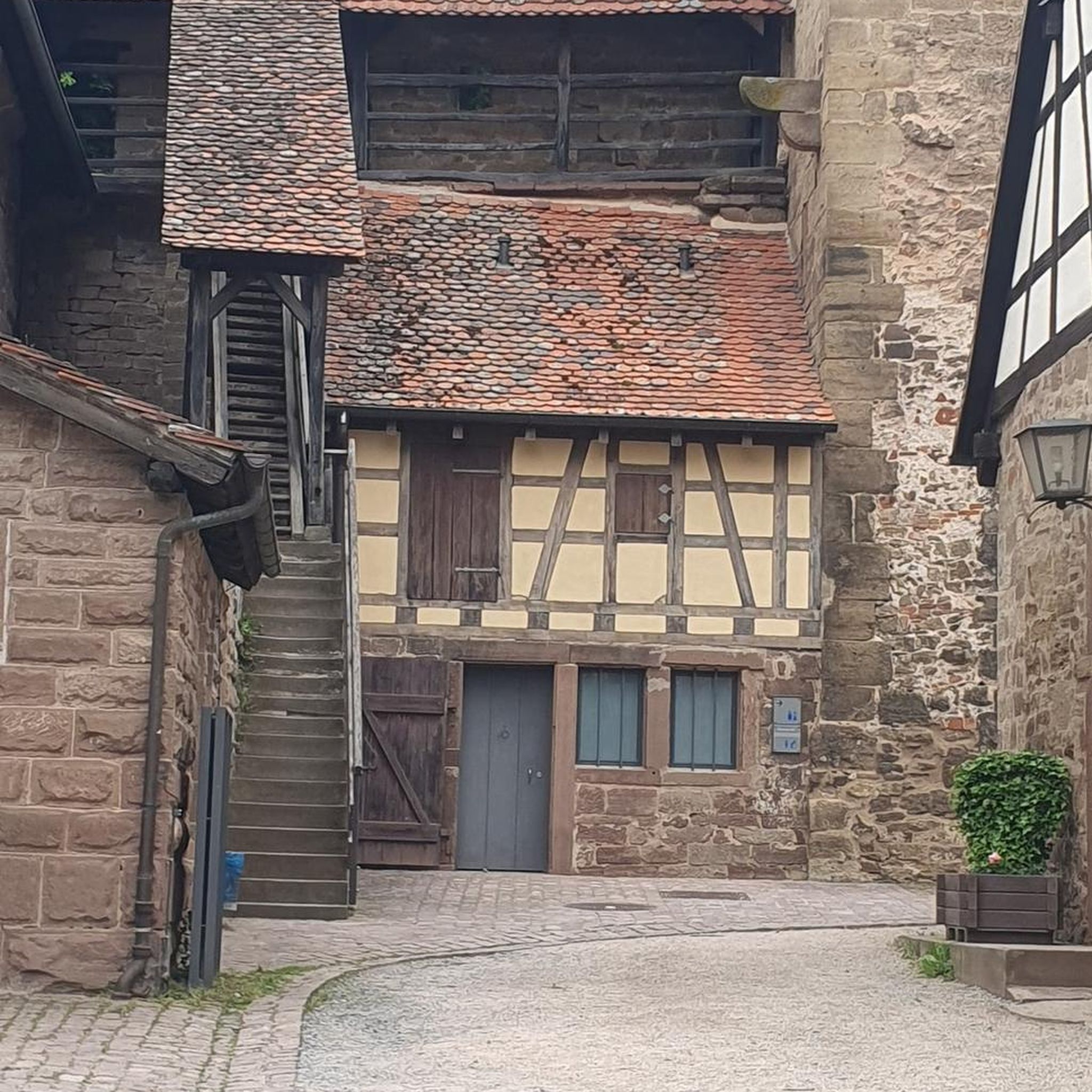
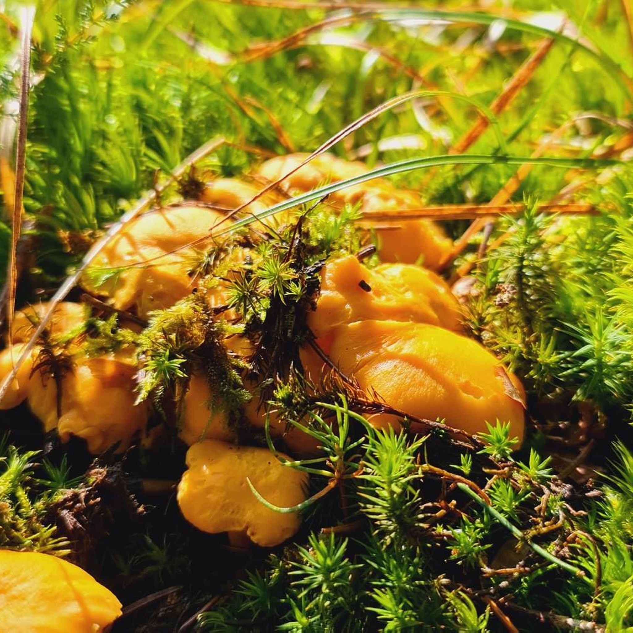
Tips from the Community

The Vennbahn is one of the longest cycle paths along disused railway lines in Europe. It leads through 3 countries, is completely asphalted and has only slight inclines. Nature, borderland flair and Vennbahn stories accompany this 125 km long tour.
0
0

The entire cycle path is a highlight. Easy to ride in the direction of Luxembourg
0
0
You can go up on the left or right (depending on the direction of travel) and onto the bridge. Worth it for a short break or lunch
0
0

A small café in an old train carriage. Not always open, but popular with walkers and cyclists. A great idea for a stop in a beautiful setting.
4
0


You can now climb on the walls of the viaduct
0
0

This is the entire Vennbahn route from Troisvierges to Aachen. Pure relaxation on the bike, or, from a sporting perspective, ideal for strength training. The route is completely safe, with virtually no car traffic, smooth asphalt, pure nature, few settlements, and rest areas with or without restaurants. Rustic shelters are also available if it gets wet.
2
1

Great to get somewhere, but on a MTB, you might find yourself a bit bored ;)
0
0
Frequently Asked Questions
How many no traffic road cycling routes are available in Perlenbach-Fuhrtsbachtal-Talsystem?
There are over 25 dedicated no traffic road cycling routes in the Perlenbach-Fuhrtsbachtal-Talsystem, offering a variety of experiences for cyclists. These include routes ranging from easy to difficult, ensuring there's something for every skill level.
What is the best time of year to experience the no traffic road cycling routes?
The ideal time to cycle these routes is from late March to mid-May, when the Wild Daffodil Meadows in Perlenbachtal burst into a spectacular yellow bloom. Spring and summer also offer lush greenery and wildflowers, making for a picturesque ride. The region's varied terrain is enjoyable throughout the warmer months.
What kind of terrain can I expect on these traffic-free road cycling routes?
The Perlenbach-Fuhrtsbachtal-Talsystem offers a dynamic road cycling experience with constant changes between demanding climbs and thrilling descents. You'll navigate varied terrain, from the river valleys of the Perlenbach and Fuhrtsbach to the higher elevations of the Monschauer-Hellentaler forest plateau, with routes generally featuring well-paved surfaces suitable for road bikes.
Are there any easy no traffic road cycling routes suitable for beginners or families?
Yes, there are several easy no traffic road cycling routes. For instance, the Vennbahn at Rurhof – Vennbahn Bridge loop from Monschau offers a gentler ride, perfect for those seeking a less strenuous experience. The region's traffic-free paths are generally well-suited for families looking for a relaxed outing.
What natural attractions can I see along the no traffic road cycling routes?
You can explore several natural highlights, such as the serene Fuhrtsbach Valley and the vibrant Wild Daffodil Meadows in Perlenbachtal. The South Shore of the Perlenbach Reservoir also offers stunning views and a peaceful spot for birdwatching.
Are there any historical sites or landmarks accessible from these routes?
Yes, the region holds historical significance. You might encounter remnants of old bunkers and fortifications from World War II, offering a unique perspective on the landscape. The nearby district of Höfen, with its traditional houses and hedges, also adds to the area's charm.
What do other road cyclists enjoy the most about road cycling in Perlenbach-Fuhrtsbachtal-Talsystem?
The area is highly rated by the komoot community, with an average score of 4.58 stars from 186 ratings. Reviewers often praise the stunning natural beauty, especially during the daffodil bloom, the quiet and traffic-free nature of the routes, and the engaging mix of climbs and descents that make for a rewarding ride.
Are there any longer, more challenging no traffic road cycling routes for experienced riders?
Absolutely. For experienced riders seeking a challenge, routes like the Robertville Dam – Baron von Korff Viaduct loop from Holderbachtal/Dürholderbachtal offer significant distances and elevation gains, providing a truly demanding and rewarding experience through the region's hilly landscapes.
Are there loop routes available for no traffic road cycling?
Many of the no traffic road cycling routes in the Perlenbach-Fuhrtsbachtal-Talsystem are designed as loops, allowing you to start and finish at the same point. An example is the Former Konzen Station Shelter – Forest Trail to Ternell loop from Kalterherberg, which provides a circular journey through diverse scenery.
Where can I find parking for these traffic-free road cycling routes?
While specific parking locations vary by route, many starting points for these routes, especially in villages like Kalterherberg or Monschau, offer designated parking areas. It's advisable to check the individual route details on komoot for the most convenient parking options near your chosen starting point.
Are there any cafes or places to stop for refreshments along the no traffic road cycling routes?
Yes, while the routes themselves are traffic-free, you'll find opportunities for refreshments in the charming villages and towns located near or along the routes, such as Monschau or Höfen. These spots offer cafes and restaurants where you can take a break and refuel.
Can I access these no traffic road cycling routes using public transport?
Access to the Perlenbach-Fuhrtsbachtal-Talsystem by public transport is possible, though it may require some planning. Regional bus services connect larger towns like Monschau to the surrounding areas. It's recommended to research specific bus routes and their bike transport policies to plan your journey effectively.
Most popular routes in Perlenbach-Fuhrtsbachtal-Talsystem
Most popular attractions in Perlenbach-Fuhrtsbachtal-Talsystem

Get inspired with the komoot mobile app


Explore more
Browse the best Road cycling routes in other regions.
