The best traffic-free bike rides in Natuurreservaat Ortolaan
4.3
(1873)
17,547
riders
422
rides
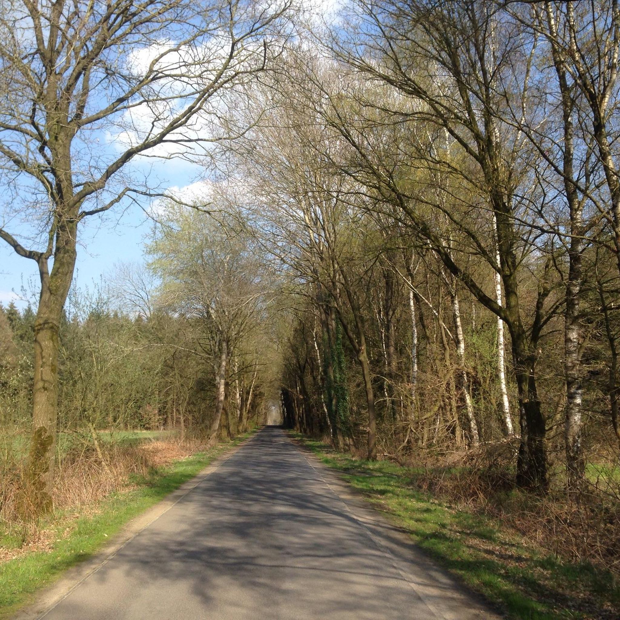
No traffic touring cycling routes in Natuurreservaat Ortolaan traverse the tranquil Dommel Valley, characterized by its diverse landscapes. Cyclists can explore alder forests, hay meadows, and pine forests, with the Dommel River winding through the area. The terrain is generally flat, making it accessible for many, with some routes featuring distinctive boardwalks over wetter sections. Flower meadows and ecologically managed arable lands add to the scenic variety, offering a mosaic of natural features.
Best no traffic touring cycling routes in…
Last updated: October 12, 2026
4.8
(6)
84
riders
Moderate bike ride. Good fitness required. Mostly paved surfaces. Suitable for all skill levels.
4.0
(2)
23
riders
Easy bike ride. Great for any fitness level. Mostly paved surfaces. Suitable for all skill levels.

5.0
(2)
20
riders
Easy bike ride. Great for any fitness level. Mostly paved surfaces. Suitable for all skill levels.
5.0
(2)
13
riders
Moderate bike ride. Good fitness required. Mostly paved surfaces. Suitable for all skill levels.
4.3
(3)
25
riders
Easy bike ride. Great for any fitness level. Mostly paved surfaces. Suitable for all skill levels.
Get access to more routes and recommendations from other explorers.
Already have an account?
Our route recommendations are based on thousands of hikes, rides, and runs completed by other people on komoot.
Start today with a free account
Your next adventure awaits.
Popular around Natuurreservaat Ortolaan

Tips from the Community

Is a beautiful wide bridge only for cyclists over a very busy road
1
0

nlp öllpolppp ll öl pl olpönpllpppplöl l ll lpnlöoop lp
0
0

The Sevensmolen, built around 1745 in Helchteren, now stands in the Heesakkerpark. This is the highest point of Overpelt. It is a post mill. This means that the entire mill body rotates around a huge wooden spindle, mounted on brick blocks. This system ensures that the sails can be turned in the direction of the wind. The mill is still in operation. In 1853, the mill was moved to the center of Overpelt. Until the end of the 50s, local farmers had their grain milled here. The municipality bought the mill in 1962 and moved it two years later to the new Heesakkerheidepark. Restorations followed in 1964 and 1989. The mill is managed by vzw Levende Molens Noord-Limburg.
0
0
This tavern is named after the high tower in the recreational area ‘t Fonteintje in Koersel-Kapelleke (Beringen). Here you can enjoy a delicious daily special or a refreshing drink in the quiet, wooded surroundings. The recreational area also features a large, attractive playground, mini-golf, a Halloween attraction, and a water play area.
0
0
The Zwarte Beek Valley contains the Zwarte Beek, which flows 35 km from its source in Hechtel to its confluence with the Demer in Diest. The entire valley, with an area of 1407 hectares, is one of Flanders' largest nature areas, of which 879 hectares are designated as protected area. The Schwarze Bach valley stretches across the municipalities of Hechtel-Eksel, Houthalen-Helchteren, Beringen, Lummen, Halen and Diest. The nature areas are spread across the stream, with five designated hiking routes.
0
0

The road is still interrupted. Not too far to walk to get back on the route
0
0

December 2025 not accessible due to a dike breach🤷♂️
1
0

The recreation area is known to many as "het (Koersels) kapelleke" (the Koersels chapel), as it grew around the chapel of Our Lady of the Stakes and has been a place of pilgrimage since 1826. The observation tower is the focal point of this wooded area. Anyone who climbs the nearly 30-meter-high tower can look out over the typical Kempen landscape. The area includes a playground, minigolf, trick pin courts, a splash pond, and numerous beautiful camping sites for youth clubs. Sports enthusiasts can enjoy an orienteering run. The hiking opportunities are endless. Source and more: https://www.beringen.be/recreatie-t-fonteintje Admission to the playground, observation tower, and splash pond is free. Open from the beginning of the Easter holidays until the end of the autumn holidays. Opening hours at https://www.visitberingen.be/fonteintje
3
0
Frequently Asked Questions
How many no-traffic touring cycling routes are available in Natuurreservaat Ortolaan?
Natuurreservaat Ortolaan offers a wide selection of car-free touring cycling routes, with over 360 options available. These range from easy, leisurely rides to more challenging gravel experiences, ensuring there's something for every skill level.
What kind of terrain can I expect on the no-traffic touring cycling routes?
The routes in Natuurreservaat Ortolaan primarily feature a mix of light gravel and dedicated cycle paths, often winding through tranquil forests and the scenic Dommel Valley. While the valley floor is generally flat, some routes may include gentle ascents or even sections requiring good fitness for gravel riding, such as the Begijnenvijvers – Large dune with steep descents loop from Peer.
Are there any historical or natural landmarks to see along the routes?
Yes, the region is rich in both natural beauty and historical sites. You can explore the unique Boardwalk Nature Reserve Ortolaan, offering an immersive experience in the wetter parts of the Dommel Valley. History enthusiasts can visit the ancient Molhem Prehistoric Burial Mounds, dating back to 800-500 BC, or the serene Onze-Lieve-Vrouw van Vlaanderen Chapel.
What do other touring cyclists enjoy most about cycling in Natuurreservaat Ortolaan?
The area is highly rated by the komoot community, with an average score of 4.4 out of 5 stars from over 1000 ratings. Reviewers frequently praise the tranquil, car-free environment, the diverse landscapes of the Dommel Valley, and the well-maintained paths that make for a relaxing and immersive cycling experience.
Are there any easy, family-friendly no-traffic routes suitable for beginners?
Absolutely. Natuurreservaat Ortolaan has numerous easy routes perfect for families and beginners. An excellent example is the Old Railway Line 18 Cycle Path – Wedelse Mill (Pelt) loop from Kleine Brogel Air Base, which offers a gentle ride with minimal elevation gain, ideal for a relaxed outing.
Can I find circular no-traffic touring cycling routes in the reserve?
Yes, many of the no-traffic touring cycling routes in Natuurreservaat Ortolaan are designed as circular loops, allowing you to start and end at the same point. The Wedelse Mill (Pelt) – Old Railway Line 18 Cycle Path loop from Kleine-Brogel is a popular moderate option that provides a scenic round trip.
Are dogs allowed on the no-traffic cycling routes?
While the guide focuses on cycling, many natural areas in the Netherlands are dog-friendly, often requiring dogs to be on a leash to protect wildlife. It's always best to check local signage or the specific route details on komoot for any restrictions regarding dogs in Natuurreservaat Ortolaan's car-free zones.
What is the best time of year to go touring cycling in Natuurreservaat Ortolaan?
The diverse landscapes of Natuurreservaat Ortolaan are beautiful year-round. Spring brings vibrant flower meadows, while autumn offers stunning foliage. The generally flat terrain makes it accessible in most seasons, though checking weather conditions is always advisable. The car-free nature of the routes makes them enjoyable even during busier periods.
Are there places to stop for a picnic or rest along the no-traffic routes?
Yes, the reserve is designed for enjoyable outdoor experiences. You can find designated picnic spots, such as the Picnic table at cycling junction, strategically placed along the routes for cyclists to take a break and enjoy the peaceful surroundings.
How can I access the no-traffic cycling routes if I'm not driving?
While specific public transport links directly to every trailhead can vary, the region around Natuurreservaat Ortolaan is generally accessible. Many routes, like the Former Town Hall, Peer – Visitor Center De Watersnip loop from Peer, start near towns or villages that may have bus connections. Planning your journey with local public transport schedules is recommended.
Are there any longer no-traffic touring routes for experienced cyclists?
Yes, for those seeking a longer ride, Natuurreservaat Ortolaan offers routes that extend for several hours. The Oudsbergen Countryside – Sgt. Jan Melsens Memorial loop from Kleine Brogel Air Base is a moderate option spanning over 50 kilometers, providing an extended journey through varied landscapes with minimal traffic.
Most popular routes in Natuurreservaat Ortolaan
Most popular attractions in Natuurreservaat Ortolaan

Get inspired with the komoot mobile app


Explore more
Browse the best Cycling routes in other regions.
