The best city hikes and walks in Amsterdamse Waterleidingduinen
4.4
(14661)
93,028
hikers
341
hikes
Urban hiking trails in Amsterdamse Waterleidingduinen traverse a diverse landscape of rolling dunes, dense forests, and winding water channels. This 3,400-hectare nature reserve is characterized by open dune landscapes, including "kopjesduinen" and old oak coppices. The area's topography features varied elevations, with significant dunes like the Tonneblink. It serves as a crucial water catchment area, with clear water channels visible throughout.
Best urban hiking trails in Amsterdamse Waterleidingduinen
- The most popular urban hiking route is Zandvoort Town Hall – Zandvoort…
Last updated: August 19, 2026
16
hikers
Easy hike. Great for any fitness level. Easily-accessible paths. Suitable for all skill levels.
12
hikers
2.72km
00:42
10m
10m
Easy hike. Great for any fitness level. Easily-accessible paths. Suitable for all skill levels.

Sign up for free
4.3
(3)
64
hikers
Easy hike. Great for any fitness level. Easily-accessible paths. Suitable for all skill levels.
15
hikers
Easy hike. Great for any fitness level. Easily-accessible paths. Suitable for all skill levels.
7
hikers
3.46km
00:53
10m
10m
Easy hike. Great for any fitness level. Easily-accessible paths. Suitable for all skill levels.
Get access to more routes and recommendations from other explorers.
Sign up for free
Already have an account?
Our route recommendations are based on thousands of hikes, rides, and runs completed by other people on komoot.
Start today with a free account
Your next adventure awaits.
Login or Signup
Popular around Amsterdamse Waterleidingduinen
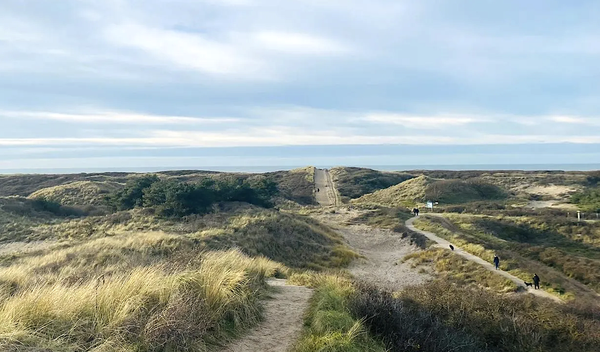
The Hollands Duin on foot – walking between forests, dunes and sea
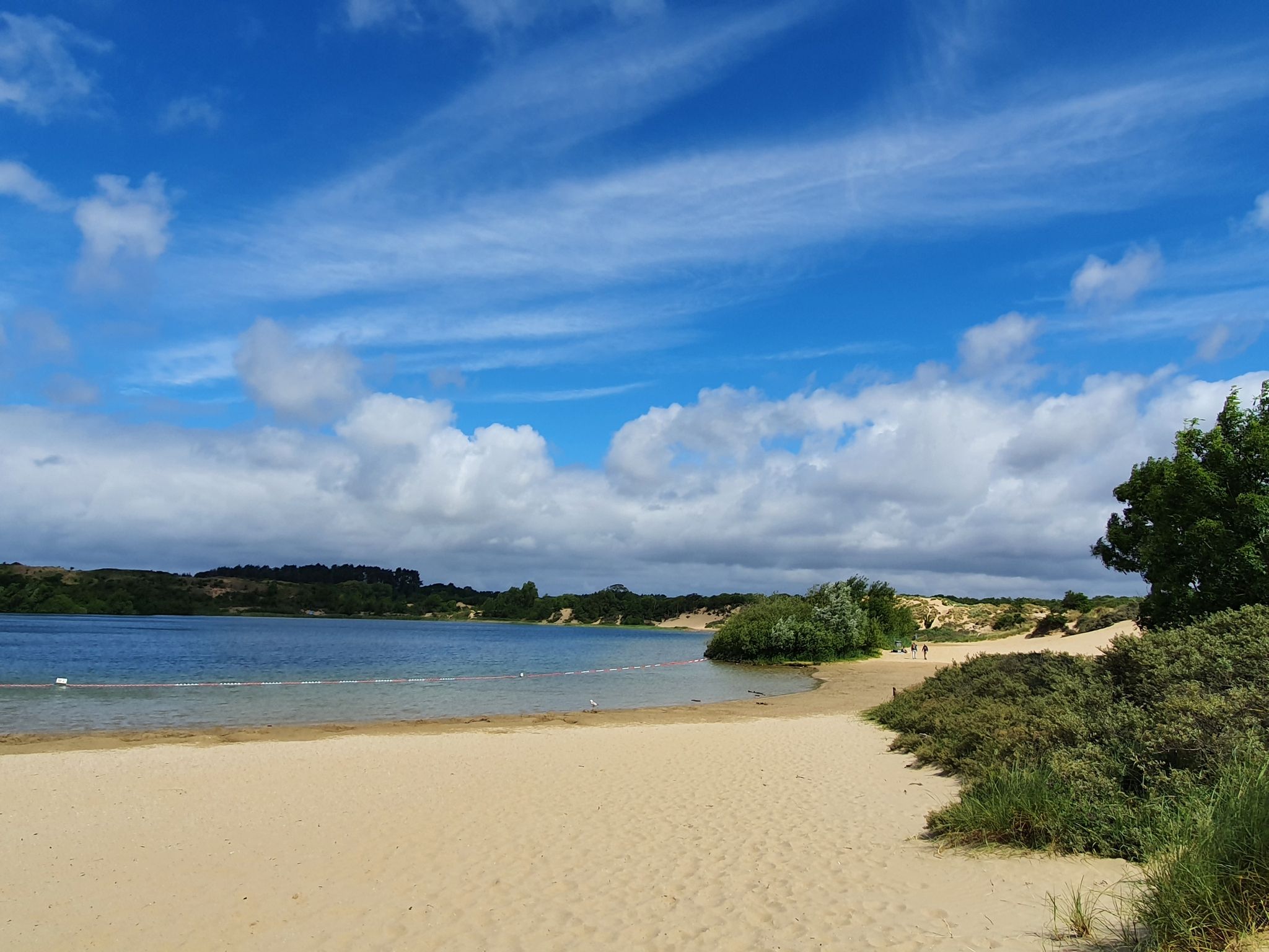
All year round in the beach tent - 5x hiking in N-Holland

Beach walks and animal encounters – hiking in Zandvoort
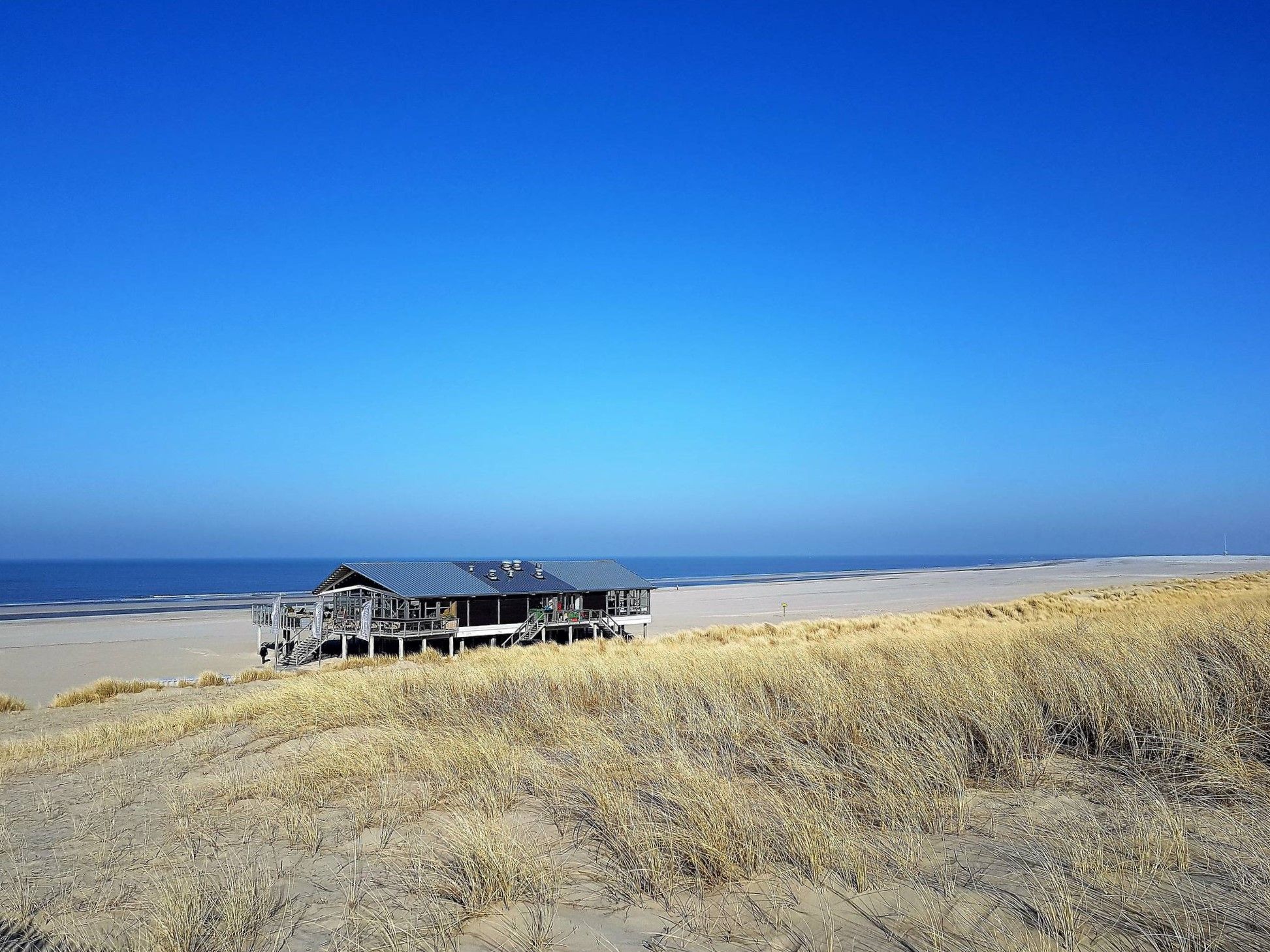
From Hook of Holland to Den Oever — part 2: Dutch Coastal Path
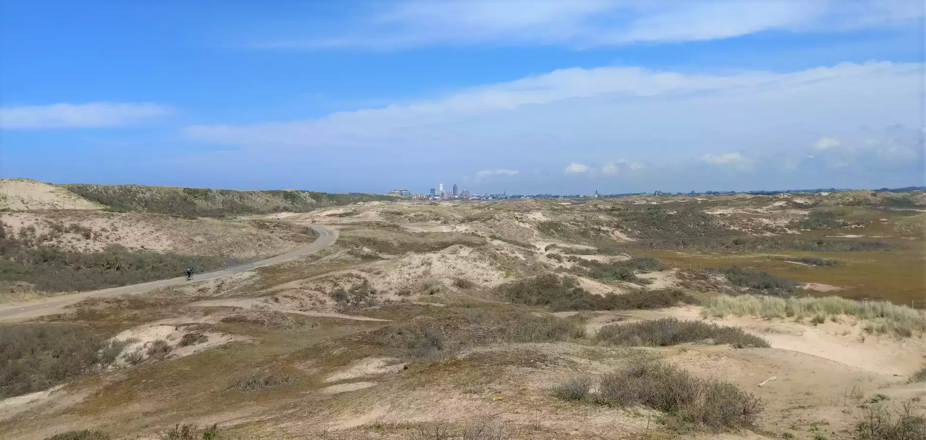
Escape the city – Fantastic beach hikes close to Amsterdam
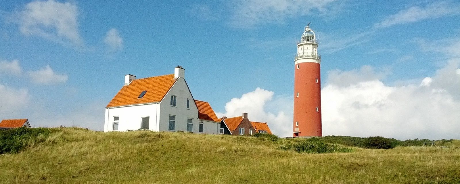
Sand dunes and beaches – best hikes along Netherland’s west coast
Other adventures in Amsterdamse Waterleidingduinen


Tips from the Community


The Circuit Zandvoort is located on the Dutch coast near Haarlem and is one of the most traditional race tracks in Europe. It was opened in 1948 and has since developed into a permanent fixture in international motorsport. Zandvoort is known above all for its distinctive character: tight corners, fast sections, and a demanding combination of hole-in-one sections and elevation changes require precision and courage from drivers. The track extends over approximately 4.3 kilometers and offers a variety of corners, including the notorious chicane and the curva Bos. The layout challenges both drivers and teams with a mix of fast straights and technical corners, leading to exciting overtaking opportunities and strategic tire changes. Spectators enjoy an excellent view of the action, often with a view of multiple sectors, allowing every lap to be followed intensely.
0
0

Zandvoort aan Zee train station is the only Dutch seaside resort with a direct train connection to Amsterdam and Haarlem. It is extremely centrally located, only about 200 meters from the beach and a few minutes' walk from the town center.
8
0

Good frituur in the heart of Zandvoort
1
0

The Sunbather (1966) is a 5-meter-tall bronze statue that symbolizes relaxation. The statue is a striking feature in the center of the stone curve that marks the cardinal points. The Sunbather has weathered many storms. Source: https://visitzandvoort.nl/locaties/de-zonnebaadster-1966/
1
0

Beautiful house, lively square and nice café.
3
0


A bit of color in the city... besides the really great graffiti walls!
1
0
Frequently Asked Questions
How many urban hiking trails are available in Amsterdamse Waterleidingduinen?
There are over 300 urban hiking trails in Amsterdamse Waterleidingduinen, catering to various preferences. The majority, around 285, are rated as easy, with 26 moderate and a few more challenging options available.
What kind of landscapes can I expect to see on an urban hike here?
Urban hikes in Amsterdamse Waterleidingduinen offer a diverse experience, transitioning between rolling dunes, dense forests, and winding water channels. You'll encounter open dune landscapes, unique 'kopjesduinen' (small, round dunes), and old oak coppices. The clear water in the canals is a testament to the area's natural water purification process.
Are there any family-friendly urban hiking routes?
Yes, many of the trails are suitable for families. The reserve's policy of allowing visitors to wander off marked paths provides flexibility for shorter, exploratory walks. For a specific easy route, consider the Church Square, Zandvoort – Zandvoort Town Hall loop, which is just over 3 km.
What wildlife might I encounter while hiking?
Amsterdamse Waterleidingduinen is renowned for its abundant wildlife. It's home to the largest population of fallow deer in the Netherlands, making sightings almost guaranteed. You might also spot foxes, rabbits, squirrels, and various bird species, including cormorants. The tranquility of the area, due to the absence of bikes and dogs, enhances wildlife observation opportunities.
What do other hikers enjoy most about urban hiking in Amsterdamse Waterleidingduinen?
The area is highly rated by the komoot community, with an average score of 4.6 out of 5 stars from over 2,800 ratings. Reviewers often praise the unique natural landscape, the freedom to explore off-path, and the frequent wildlife sightings, especially the fallow deer.
Are there any historical landmarks or points of interest along the urban trails?
Beyond its natural beauty, the reserve features historical attractions such as around 400 Second World War bunkers, part of the Atlantic Wall. Some of these are accessible for viewing. You can also find interesting natural monuments like the Super Twisted Tree and the Tonneblink viewpoint.
Can I find circular urban hiking routes in the area?
Yes, many of the urban trails are designed as circular routes. An example is the Zandvoort Circuit loop from Zandvoort aan Zee, an easy 3.8 km hike. Another option is the moderate Church Square, Zandvoort – Zandvoort Boulevard loop, which covers nearly 9 km.
What are the rules regarding dogs and cycling in the reserve?
To preserve the tranquility and natural environment, cycling and dogs are generally not allowed within the Amsterdamse Waterleidingduinen reserve itself. This policy ensures an undisturbed experience for walkers and helps protect the wildlife.
Are there any viewpoints or scenic spots to discover?
Absolutely. The diverse dune landscape offers several scenic spots. Highlights include the Tonneblink viewpoint, one of the highest dunes, and various benches with views, such as the Bench with a view over the former racecourse. You can also find peaceful spots like the Bird hide by the lake.
What is the best time of year to visit Amsterdamse Waterleidingduinen for urban hiking?
The reserve is beautiful year-round, but each season offers unique experiences. Visiting during the rutting season in October provides a unique spectacle of grunting deer. Spring and summer bring lush greenery and active birdlife, while autumn showcases vibrant foliage. The freedom to wander off-path makes it enjoyable in various conditions.
Are there any urban hiking routes that pass by water features?
Yes, the area is characterized by winding water channels and ponds, as it's crucial for Amsterdam's drinking water supply. You can explore routes that take you past features like Lake De Zilk and various Ponds and Streams in the Dutch Dunes. The clear water is a defining feature of the landscape.
Where can I find information about access points and parking?
The Amsterdamse Waterleidingduinen has four main entrances, each typically offering visitor centers and forest cafes, which often include parking facilities. For more detailed information on specific access points and parking options, it's advisable to check local resources like visitzandvoort.com before your visit.
Most popular routes in Amsterdamse Waterleidingduinen
Most popular attractions in Amsterdamse Waterleidingduinen

Get inspired with the komoot mobile app


Explore more
Browse the best Hikes in other regions.
