Großes Moor und Aueniederung bei Wistedt
Großes Moor und Aueniederung bei Wistedt
The best traffic-free bike rides in Großes Moor und Aueniederung bei Wistedt
4.5
(2162)
8,513
riders
313
rides
No traffic touring cycling routes in Großes Moor und Aueniederung bei Wistedt traverse a diverse landscape of moorland, river lowlands, and forests. The region, located west of Tostedt, Germany, is characterized by a partially drained raised bog and extensive wet grasslands along the Aue river. Its generally flat topography makes it suitable for touring cyclists seeking relaxed rides without significant climbs. Oak forests on sandy soils and former sand pits add further variety to the natural environment.
Best no traffic…
Last updated: October 12, 2026
4.3
(6)
34
riders
Easy bike ride. Great for any fitness level. Mostly paved surfaces. Suitable for all skill levels.
4.7
(6)
27
riders
Easy bike ride. Great for any fitness level. Mostly paved surfaces. Suitable for all skill levels.

4.9
(9)
20
riders
Moderate bike ride. Good fitness required. Mostly paved surfaces. Suitable for all skill levels.
4.7
(7)
23
riders
22.0km
01:19
40m
40m
Easy bike ride. Great for any fitness level. Mostly paved surfaces. Suitable for all skill levels.
4.5
(2)
13
riders
17.7km
01:04
30m
30m
Hard bike ride. Great for any fitness level. You may need to push your bike for some segments of this route.
Get access to more routes and recommendations from other explorers.
Already have an account?
Our route recommendations are based on thousands of hikes, rides, and runs completed by other people on komoot.
Start today with a free account
Your next adventure awaits.
Popular around Großes Moor und Aueniederung bei Wistedt

Tips from the Community

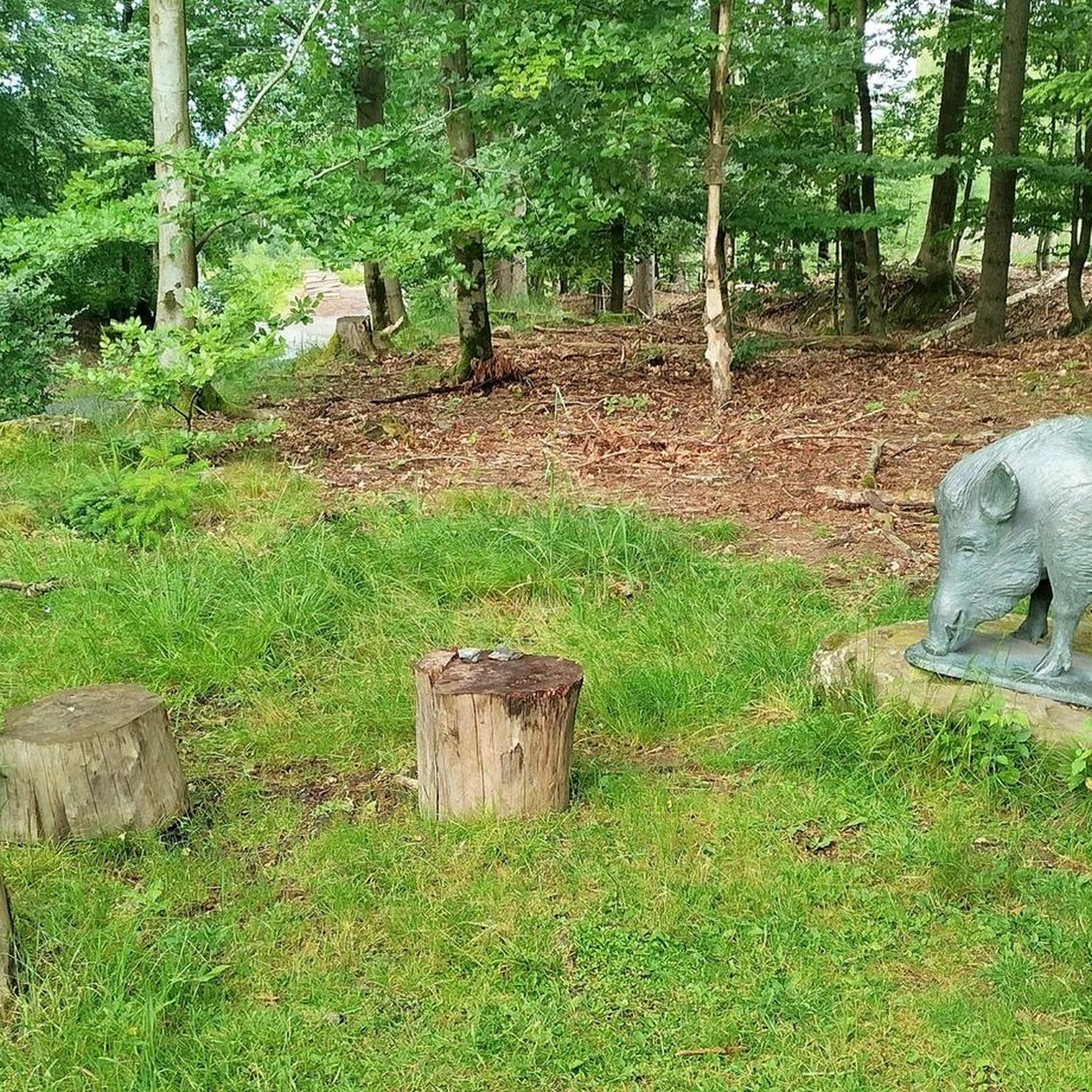
A great bike and hiking trail runs here through beautiful nature 💚. Water buffaloes are grazing on the route. A great place to sit is available for a break.
3
0
Great bike route between Beckdorf and Wiegersen amidst beautiful nature 💚.
2
0
A great bench for a break at the Gauss Tower memorial on Litberg. Several seating options are available here.
7
0
At 65 meters above sea level, the Litberg is the highest elevation in the Stade district. The Gauß observation tower is located in the middle of the forest. Climbing 133 steps, you'll be rewarded with a magnificent view of the surrounding countryside. Plenty of benches invite you to linger, and there are swings for children.
7
1

Several soldiers from Eastern countries are buried here. https://kriegsgraeberstaetten.volksbund.de/friedhof/koenigsmoor-russkriegsgefangenen-fdh
0
0

A top-quality asphalted connecting road between Beckdorf and Wiegersen, a great alternative to state road 130 for all types of bicycles. When we drove along the connecting road, we only encountered one car on a working day.
1
0

Nice shady bike path, great asphalt!
1
0
Frequently Asked Questions
How many no-traffic touring cycling routes are available in Großes Moor und Aueniederung bei Wistedt?
There are over 300 dedicated no-traffic touring cycling routes available in the Großes Moor und Aueniederung bei Wistedt region. This includes a wide variety of options, with 182 routes classified as easy, 60 as moderate, and 74 as difficult, ensuring there's something for every skill level.
What is the terrain like for touring cycling in this region?
The region is characterized by generally flat topography, making it ideal for touring cyclists of all fitness levels. You'll cycle through a diverse mosaic of landscapes, including moorland, river lowlands, and oak forests on sandy soils. This varied scenery provides a constantly changing and picturesque backdrop without significant climbs.
What natural features can I expect to see along the routes?
The routes offer a deep immersion in nature. You'll encounter the unique raised bog and moorland forests with plants like cotton grass and sundew, as well as extensive wet grasslands in the Aue river lowlands. Some paths also traverse oak forests and areas around former sand pits, adding to the landscape diversity.
What kind of wildlife might I encounter while cycling?
Großes Moor und Aueniederung bei Wistedt is a significant bird sanctuary and a traditional breeding ground for cranes. Depending on the habitat, you might spot curlews, snipes, nightjars, shovelers, and marsh harriers. The moor also hosts various amphibians, reptiles like the common European viper, and numerous invertebrates, including the large heath butterfly and various dragonflies.
Are there family-friendly or easy routes for beginners?
Yes, the region is very welcoming for families and beginners. With 182 routes classified as easy, there are plenty of options for a relaxed ride. An excellent choice for an easy, family-friendly ride is the Todtglüsingen Cycle Path – Tostedt Town Hall loop from Wistedt, which covers 20.5 km with minimal elevation gain.
Are there circular touring cycling routes available?
Absolutely! Many of the no-traffic touring cycling routes in the area are designed as loops, allowing you to start and end at the same point. For example, the Everstorfer Moor – Cranes loop from Wistedt offers an 8 km circular experience, and the Wistedt Cycle Path loop from Wistedt is another great option at 11.2 km.
What is the best time of year to go touring cycling in Großes Moor und Aueniederung bei Wistedt?
The best time for touring cycling is generally from spring through autumn (April to October). During these months, the weather is milder, and the diverse flora and fauna are most active. Spring offers blooming heath and birdwatching opportunities, while autumn provides beautiful colors and the chance to see cranes before migration.
Can I bring my dog on the cycling routes?
While many outdoor areas in Germany are dog-friendly, it's crucial to keep dogs on a leash, especially within the nature reserve, to protect wildlife and sensitive ecosystems. Always check specific signage along the routes for any additional restrictions regarding pets.
Are there places to eat or drink near the cycling routes?
While the nature reserve itself is primarily natural, the surrounding villages and towns like Wistedt and Tostedt offer various cafes, restaurants, and pubs where you can refuel and relax after your ride. It's advisable to check opening times in advance, especially in smaller communities.
What do other touring cyclists enjoy most about the routes in Großes Moor und Aueniederung bei Wistedt?
The area is highly rated by the komoot community, with an average score of 4.5 stars from over 1,700 ratings. Reviewers often praise the tranquility, the diverse and picturesque landscapes, and the well-maintained, traffic-free paths that allow for a peaceful and immersive nature experience.
How can I reach the cycling routes by public transport?
The region is accessible by public transport, primarily via train services to nearby towns like Tostedt. From there, local bus connections or a short cycle can bring you closer to the starting points of many routes. It's recommended to check current train and bus schedules, and ensure your bike can be transported on public transport, especially during peak times.
Where can I park my car if I drive to the cycling routes?
Designated parking areas are typically available at the main access points or trailheads around the nature reserve and in nearby villages. Look for signs indicating 'Wanderparkplatz' or 'Parkplatz' which often cater to visitors exploring the area. Always ensure you park in marked spaces to avoid disturbing local residents or natural habitats.
Most popular routes in Großes Moor und Aueniederung bei Wistedt

Get inspired with the komoot mobile app


Explore more
Browse the best Cycling routes in other regions.
