The best hikes from bus stations in Boswachterij Gees
4.4
(2361)
12,702
hikers
183
hikes
Bus station hiking trails in Boswachterij Gees traverse a varied landscape of mixed forests, heathlands, and stream valleys in Drenthe, Netherlands. The region features the Mekelermeer, a large pingoruin and geological monument, alongside the elevated De Hooge Stoep heathland. The Geeserstroom stream meanders through a restored valley, contributing to the area's diverse ecosystems. Historical elements like grave mounds and the remains of Mottekasteel Klinkenberg are also present along the routes.
Best bus station hiking trails in Boswachterij Gees
- The most…
Last updated: July 9, 2026
4.6
(156)
635
hikers
Moderate hike. Good fitness required. Easily-accessible paths. Suitable for all skill levels.
4.7
(24)
87
hikers
17.1km
04:18
20m
20m
Moderate hike. Good fitness required. Easily-accessible paths. Suitable for all skill levels.

Sign up for free
5.0
(14)
53
hikers
Moderate hike. Good fitness required. Easily-accessible paths. Suitable for all skill levels.
5.0
(2)
10
hikers
Moderate hike. Good fitness required. Easily-accessible paths. Suitable for all skill levels.
5.0
(4)
14
hikers
8.82km
02:13
10m
10m
Moderate hike. Good fitness required. Easily-accessible paths. Suitable for all skill levels.
Get access to more routes and recommendations from other explorers.
Sign up for free
Already have an account?
Our route recommendations are based on thousands of hikes, rides, and runs completed by other people on komoot.
Start today with a free account
Your next adventure awaits.
Login or Signup
Popular around Boswachterij Gees
Other adventures in Boswachterij Gees

Tips from the Community

The Mantingerzand is a vast nature reserve between the villages of Mantinge and Nieuw-Balinge. This area, better known as the Mantingerveld, consists largely of heathland, fens, forests, and some small drifting sands. Former agricultural lands are also part of the Natura 2000 area. These lands have been developed by the owner, Natuurmonumenten, for nature development. The main goal of these interventions was to connect isolated heathlands into one large nature reserve. Heathlands such as the Hullenzand, the Balingerzand and Mantingerzand, Martensplek, and the Lentsche Veen. These nature reserves were valuable remnants of a vast heathland between Hoogeveen and Westerbork, which was increasingly reclaimed over the course of the 20th century. Each of the four areas individually still possessed high natural quality, but were under considerable pressure due to their small size. A striking feature of the Natura 2000 area is the extensive and magnificent juniper thickets, which are among the most beautiful thickets in the Netherlands. The dry and wet heathlands, fens, and drifting sands also demonstrate the area's great diversity. Several old deciduous forests and a number of reclaimed forests are also part of the Natura 2000 area. Source: https://www.provincie.drenthe.nl/onderwerpen/natuur-milieu/natuur/natuurbeleid-regels/natura-2000/gebieden/mantingerzand/
0
0
The Mantingerzand is a vast nature reserve between the villages of Mantinge and Nieuw-Balinge. This area, better known as the Mantingerveld, consists largely of heathland, fens, forests, and some small drifting sands. Former agricultural lands are also part of the Natura 2000 area. These lands have been developed by the owner, Natuurmonumenten, for nature development. The main goal of these interventions was to connect isolated heathlands into one large nature reserve. Heathlands such as the Hullenzand, the Balingerzand and Mantingerzand, Martensplek, and the Lentsche Veen. These nature reserves were valuable remnants of a vast heathland between Hoogeveen and Westerbork, which was increasingly reclaimed over the course of the 20th century. Each of the four areas still possessed high natural quality, but their small size put them under considerable pressure. A striking feature of the Natura 2000 area is the extensive and magnificent juniper thickets, which are among the most beautiful thickets in the Netherlands. The dry and wet heathlands, fens, and drifting sands also demonstrate the area's great diversity. Several old deciduous forests and a number of reclaimed forests are also part of the Natura 2000 area. Source: https://www.provincie.drenthe.nl/onderwerpen/natuur-milieu/natuur/natuurbeleid-regels/natura-2000/gebieden/mantingerzand/
1
0
The Mantingerzand is a vast nature reserve between the villages of Mantinge and Nieuw-Balinge. This area, better known as the Mantingerveld, consists largely of heathland, fens, forests, and some small drifting sands. Former agricultural lands are also part of the Natura 2000 area. These lands have been developed by the owner, Natuurmonumenten, for nature development. The main goal of these interventions was to connect isolated heathlands into one large nature reserve. Heathlands such as the Hullenzand, the Balingerzand and Mantingerzand, Martensplek, and the Lentsche Veen. These nature reserves were valuable remnants of a vast heathland between Hoogeveen and Westerbork, which was increasingly reclaimed over the course of the 20th century. Each of the four areas individually still possessed high natural quality, but were under considerable pressure due to their small size. A striking feature of the Natura 2000 area is the extensive and magnificent juniper thickets, which are among the most beautiful thickets in the Netherlands. The dry and wet heathlands, fens, and drifting sands also demonstrate the area's great diversity. Several old deciduous forests and a number of reclaimed forests are also part of the Natura 2000 area. Source: https://www.provincie.drenthe.nl/onderwerpen/natuur-milieu/natuur/natuurbeleid-regels/natura-2000/gebieden/mantingerzand/
1
0
The Mantingerzand is a vast nature reserve between the villages of Mantinge and Nieuw-Balinge. This area, better known as the Mantingerveld, consists largely of heathland, fens, forests, and some small drifting sands. Former agricultural lands are also part of the Natura 2000 area. These lands have been developed by the owner, Natuurmonumenten, for nature development. The main goal of these interventions was to connect isolated heathlands into one large nature reserve. Heathlands such as the Hullenzand, the Balingerzand and Mantingerzand, Martensplek, and the Lentsche Veen. These nature reserves were valuable remnants of a vast heathland between Hoogeveen and Westerbork, which was increasingly reclaimed over the course of the 20th century. Each of the four areas individually still possessed high natural quality, but were under considerable pressure due to their small size. A striking feature of the Natura 2000 area is the extensive and magnificent juniper thickets, which are among the most beautiful thickets in the Netherlands. The dry and wet heathlands, fens, and drifting sands also demonstrate the area's great diversity. Several old deciduous forests and a number of reclaimed forests are also part of the Natura 2000 area. Source: https://www.provincie.drenthe.nl/onderwerpen/natuur-milieu/natuur/natuurbeleid-regels/natura-2000/gebieden/mantingerzand/
1
0

Added to the collection: https://www.komoot.com/de-de/collection/3600632/-naturdenkmaeler-besondere-baeume-und-weitere-schaetze-der-natur
0
0

The characteristic pine trees of the Mantingerzand are striking conifers that thrive in the area's dry, sandy soil. They give the landscape its distinctive character, often in combination with heathlands and open sandy plains. These pines contribute to biodiversity, provide shelter and nesting sites for birds and other animals, and enhance the natural character of the Mantingerzand.
4
0
Ancient oaks are very old, often hundreds of years old, oak trees that play a vital role in the ecosystem. They provide a habitat for numerous plants, birds, insects, and fungi. Their age and size also make them historical and landscape icons, often recognizable by their impressive trunks and broad crowns.
4
0
Mantingerzand is a vast nature reserve in Drenthe, known for its sand drifts, heathlands, and woods. The area offers a unique open landscape experience and is important for plant and animal species that thrive in dry, sandy environments. Mantingerzand is popular with hikers, cyclists, and nature lovers for its tranquility and natural beauty.
3
0
Frequently Asked Questions
How many bus station hiking trails are available in Boswachterij Gees?
There are over 180 hiking routes in Boswachterij Gees that are accessible from bus stations. These trails cater to various preferences, with a good mix of easy and moderate options.
What kind of landscapes can I expect on bus station hikes in Boswachterij Gees?
The bus station hikes in Boswachterij Gees offer a diverse landscape. You'll traverse mixed forests, including significant deciduous areas, and encounter open heathlands like De Hooge Stoep. The meandering Geeserstroom stream valley, with its marshy grasslands, is another prominent feature, alongside ancient pingoruins and various fens.
What interesting sights or landmarks can I find along the bus station hiking trails?
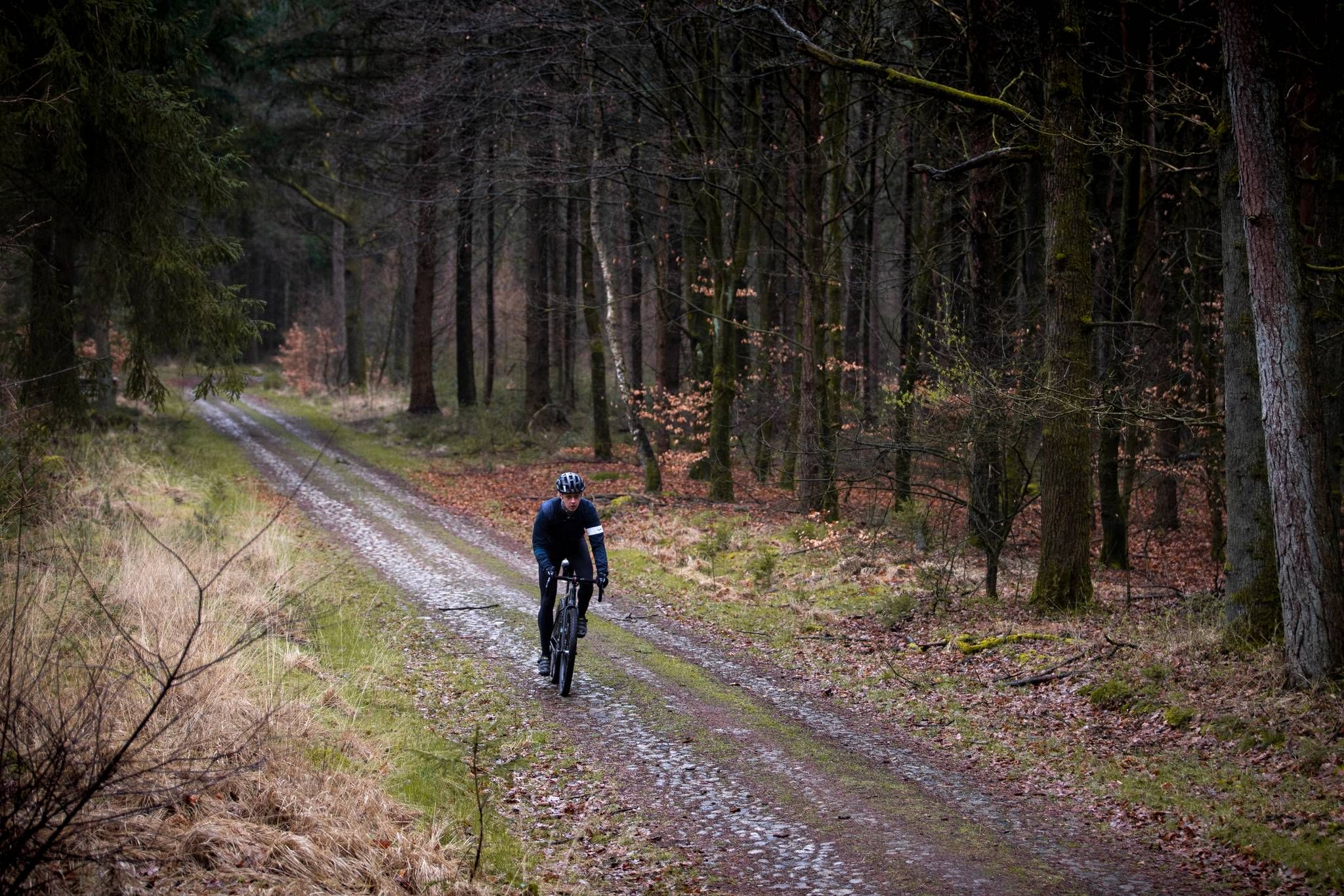
Many trails lead past fascinating points of interest. You can discover the unique Tilweg Cobblestone Section, cross the scenic Bridge Over the Geeserstroom, or visit the impressive Mekelermeer in Boswachterij Gees, one of the largest pingoruins in the Netherlands. There's also a Birdwatching viewpoint at Veenplas for nature enthusiasts.
Are the bus station trails in Boswachterij Gees suitable for families?
Yes, many bus station trails in Boswachterij Gees are family-friendly. The region offers numerous shorter, well-marked routes that are suitable for all ages. These trails often pass through forests and open areas, providing engaging experiences for children.
Can I bring my dog on these hikes?
Boswachterij Gees is generally dog-friendly, but it's important to keep your dog on a leash, especially in areas with grazing animals like Scottish Highlanders or near wildlife habitats. Always check local signage for specific rules on individual trails.
What wildlife might I encounter during a bus station hike?
The area is rich in wildlife. You might spot Scottish Highlanders grazing in the heathlands, as well as deer, foxes, badgers, and pine martens. The Geeserstroom valley is a haven for birds, including purple herons and bluethroats. Keep an eye out for adders and grass snakes among the heath plants too.
Are there circular routes available from bus stops?
Yes, many of the bus-accessible trails in Boswachterij Gees are circular, allowing you to start and end your hike at the same point. For example, the Boardwalk at Geeserstroom – Bridge Over the Geeserstroom loop from Gees is a moderate 8.8 km circular route that offers beautiful views of the stream valley.
What is the general difficulty level of bus station hikes in Boswachterij Gees?
The majority of bus station hikes in Boswachterij Gees are classified as easy or moderate. Out of 180 routes, 96 are easy and 74 are moderate, making them accessible for most hikers. There are also 10 more difficult routes for those seeking a challenge.
Are there any longer, more challenging routes accessible by bus?
For those looking for a longer, moderate challenge, consider routes like the Mepperhooilanden – Bridge Over the Geeserstroom loop from Gees. This route spans over 17 km, offering an extended exploration of the region's diverse landscapes.
What do other hikers say about the trails in Boswachterij Gees?
The komoot community highly rates the trails in Boswachterij Gees, with an average score of 4.4 out of 5 stars from over 2,100 ratings. Hikers often praise the well-maintained paths, the peaceful forest atmosphere, and the diverse natural features like the Mekelermeer and Geeserstroom.
What is the best time of year to visit Boswachterij Gees for hiking?
Boswachterij Gees is beautiful year-round. Spring brings blooming flora and active wildlife, while autumn offers stunning foliage. Summer is ideal for longer days, and even winter can be magical with crisp air, though some areas might be wet. The diverse landscapes ensure a pleasant experience in any season.
Are there any routes that highlight the ancient history of the region?
Yes, the region is rich in historical traces. While specific bus routes might not be named after them, many trails pass near prehistoric grave mounds and the remains of Mottekasteel Klinkenberg, a medieval castle. Exploring the general area will allow you to discover these ancient markers.
Most popular routes in Boswachterij Gees
Most popular attractions in Boswachterij Gees

Get inspired with the komoot mobile app


Explore more
Browse the best Hikes in other regions.
