The best traffic-free bike rides in Weißeritztalhänge
4.6
(3414)
18,068
riders
423
rides
No traffic touring cycling routes in Weißeritztalhänge traverse a region characterized by picturesque valleys and dense beech forests. The landscape features elevated trails that offer expansive views of the Weißeritztal valley. The Rote Weißeritz River flows through the area, particularly within the Rabenau Valley, where historic stone arch bridges and steel girder bridges are present. This diverse terrain provides varied gradients and scenic environments for cycling.
Best no traffic touring cycling routes in Weißeritztalhänge
- The most popular no traffic touring…
Last updated: July 9, 2026
4.6
(11)
88
riders
9.74km
00:41
120m
120m
Easy bike ride. Great for any fitness level. Mostly paved surfaces. Suitable for all skill levels.
4.9
(10)
24
riders
51.5km
04:01
920m
920m
Hard bike ride. Very good fitness required. You may need to push your bike for some segments of this route.

Sign up for free
5.0
(3)
20
riders
33.0km
02:48
430m
430m
Moderate bike ride. Good fitness required. Mostly paved surfaces. Suitable for all skill levels.
5.0
(2)
12
riders
Hard bike ride. Very good fitness required. Mostly paved surfaces. Suitable for all skill levels.
4.0
(2)
18
riders
12.1km
00:50
130m
130m
Easy bike ride. Great for any fitness level. Mostly paved surfaces. Suitable for all skill levels.
Get access to more routes and recommendations from other explorers.
Sign up for free
Already have an account?
Our route recommendations are based on thousands of hikes, rides, and runs completed by other people on komoot.
Start today with a free account
Your next adventure awaits.
Login or Signup
Popular around Weißeritztalhänge
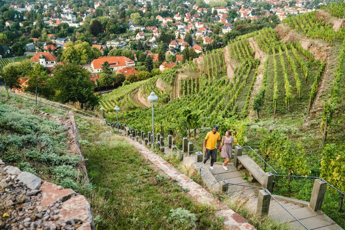
Great places closer to home – nature and fun in the Dresden Elbland
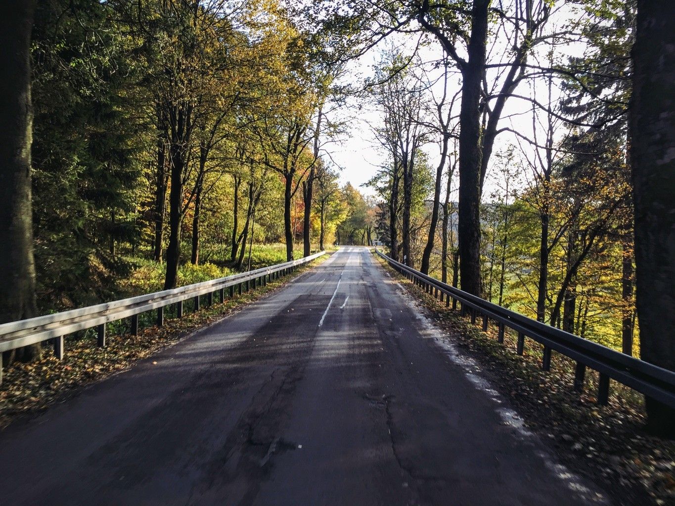
Weekend tours in the Ore Mountains

Wandertouren - Eisenbahn & Wanderstock
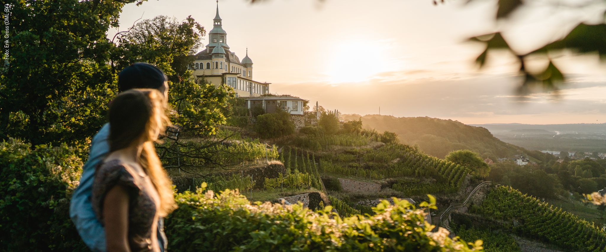
Natur entdecken – 10 Wandertouren abseits der Hauptpfade im Dresden Elbland
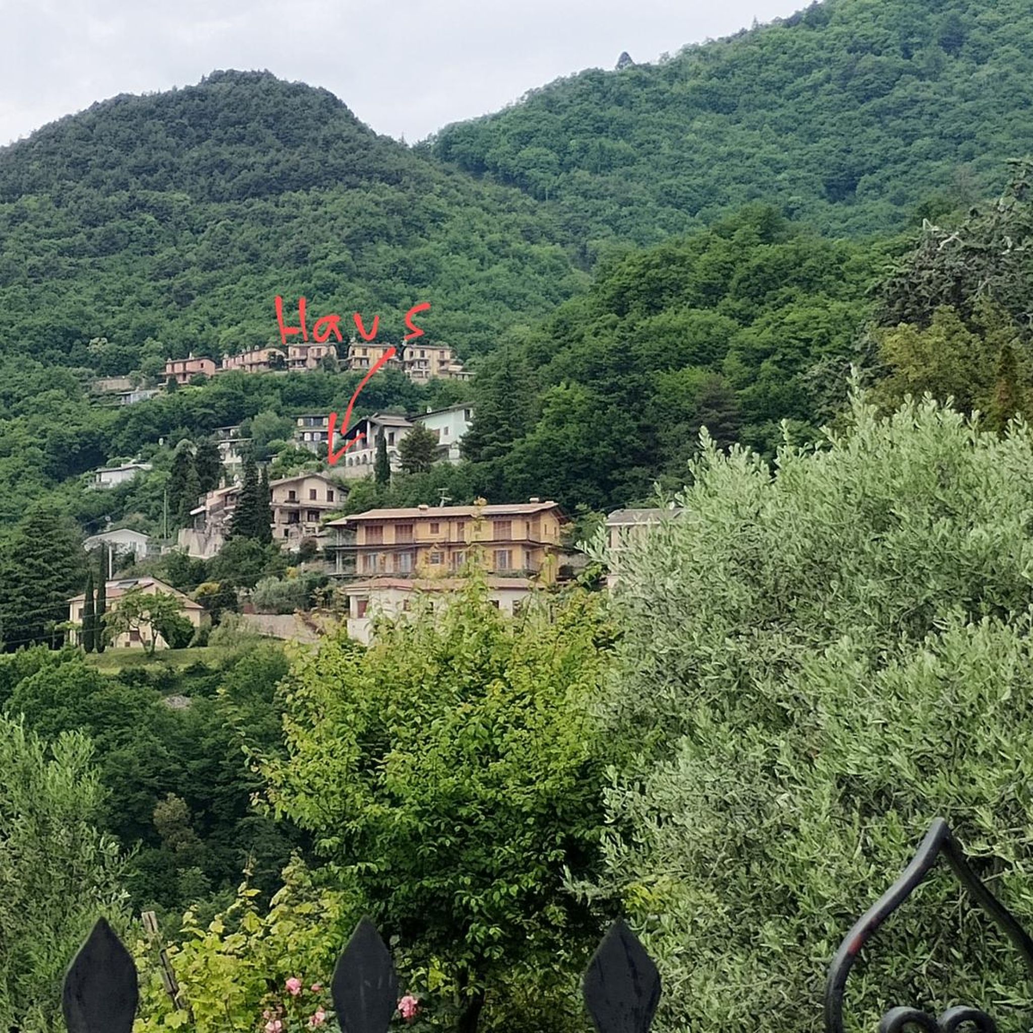
Traffic-free bike rides in Weißeritztalhänge
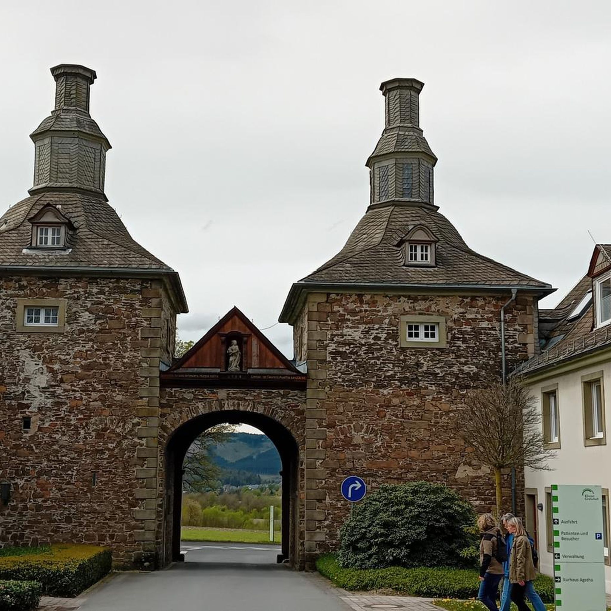
Traffic-free bike rides in Weißeritztalhänge
Other adventures in Weißeritztalhänge


Tips from the Community

The dam was built from 1908 onwards near Klingenberg in the foothills of the Ore Mountains, based on an architectural design by Hans Poelzig. In 1914, the dam went into operation and was named after the last Saxon king: Friedrich-August-Talsperre. The impounded body of water is the Wilde Weißeritz. Its construction was part of a flood protection concept that was developed after the devastating flood of 1897 by the district administration of Dresden-Altstadt under the leadership of District Administrator and Dam Commissioner Arnold Streit. During construction, a standard-gauge industrial railway was built from Klingenberg-Colmnitz station to the construction site, which operated from 1911 to 1914. The Höhenweg trail now runs along its route over the Streichholzbrücke bridge. (Wikipedia)
0
0

There is also a pretty resting place here
0
0

It is simply wonderfully beautiful here 😊.
0
0
It is simply breathtakingly beautiful here 😊.
0
0

small shelter and information board
0
1

It's always worth stopping by Manu and Kai-Uwe's place. They host wonderful events several times a year.
0
0

It's just incredibly beautiful here 😊.
0
1
Frequently Asked Questions
How many no-traffic touring cycling routes are available in Weißeritztalhänge?
Weißeritztalhänge offers a wide selection of car-free touring cycling routes, with over 400 options available. These routes cater to various skill levels, ensuring there's a suitable path for every cyclist.
What kind of terrain can I expect on the no-traffic touring routes in Weißeritztalhänge?
The region features diverse terrain, from picturesque valleys and dense beech forests to elevated trails offering expansive views of the Weißeritztal valley. You'll find a mix of forest paths, agricultural roads, and some more demanding sections with varied gradients, especially along river valleys like the Rote Weißeritz.
Are there any easy, family-friendly no-traffic routes for touring cyclists?
Yes, Weißeritztalhänge has over 100 easy touring cycling routes that are suitable for families and leisure cyclists. These often include paved paths and less challenging gradients. An example is the Weißeritztalbahn Bridge – Rabenauer Mill loop from Freital-Hainsberg West, which is an easy 9.7 km route.
What are some notable landmarks or attractions I can see along the routes?
Many routes pass by or offer detours to significant points of interest. You can explore historical sites like the Ruins of Tharandt Castle or visit the Heinrich Cotta's Grave. Natural viewpoints such as the Backofenfelsen Viewpoint and Heinrichs Eck Viewpoint offer stunning vistas of the valley.
Are there any challenging no-traffic routes for experienced touring cyclists?
Absolutely. For experienced riders seeking more elevation and distance, there are nearly 100 difficult routes. An example is the View of Klingenberg Reservoir – Malter Dam loop from Freital-Coßmannsdorf, a challenging 51.5 km route with significant elevation changes.
Can I find circular no-traffic touring routes in Weißeritztalhänge?
Yes, many of the no-traffic touring routes in Weißeritztalhänge are designed as loops, allowing you to start and end at the same point. This is convenient for those using personal vehicles. For instance, the Klingenberg Dam – View of Klingenberg Reservoir loop from Edle Krone is a moderate 33 km circular route.
What do other touring cyclists say about the routes in Weißeritztalhänge?
The touring cycling routes in Weißeritztalhänge are highly regarded by the komoot community, with an average rating of 4.5 out of 5 stars. Reviewers often praise the quiet, scenic paths, the diverse landscapes, and the well-maintained trails that make for an enjoyable car-free cycling experience.
Are there any routes that follow old railway lines or offer unique historical insights?
Yes, the region is known for its historic infrastructure, particularly along the Rote Weißeritz River. Cyclists can encounter historic stone arch bridges and steel girder bridges that are part of the narrow-gauge railway infrastructure, offering unique photo opportunities and a glimpse into regional history. While not explicitly a 'railway path' in all sections, the presence of the Weißeritztalbahn adds to the historical context of many routes.
What is the best time of year to go touring cycling in Weißeritztalhänge?
The Weißeritztalhänge region is beautiful throughout the warmer months. Spring offers lush greenery, while summer provides pleasant temperatures for longer rides. Autumn is particularly scenic with vibrant fall foliage. Always check local weather forecasts before heading out, as conditions can vary.
Are there any specific viewpoints or natural features worth seeking out?
Beyond the general valley views, the Stille Liebe Lookout Hut and the Backofenfelsen Viewpoint are popular spots for panoramic vistas. The dense beech forests themselves are a significant natural feature, providing refreshing shade and a serene cycling environment.
Are there any routes that pass by lakes or water bodies?
Yes, some routes incorporate the region's water features. For example, the Seerenteich – Grillenburg bathing lake loop from Dorfhain is an easy route that takes you past local lakes, offering pleasant scenery and potential spots for a break.
Most popular routes in Weißeritztalhänge
Most popular attractions in Weißeritztalhänge

Get inspired with the komoot mobile app


Explore more
Browse the best Cycling routes in other regions.
