The best hikes from bus stations in Grimsdalen Landskapsvernområde
4.6
(269)
1,128
hikers
4
hikes
Bus station hiking trails in Grimsdalen Landskapsvernområde offer access to a distinctive mountain farming valley nestled between Rondane and Dovre National Parks. The landscape features a unique blend of natural and cultural environments, with a geological divide influencing diverse plant life. Hikers can explore varied terrain, from the valley floor to higher elevations, characterized by historic mountain farms and views of surrounding national parks. The region provides crucial habitats for wildlife, including musk oxen and wild reindeer.
Best bus station…
Last updated: July 8, 2026
4.6
(45)
111
hikers
5.25km
01:23
50m
50m
Easy hike. Great for any fitness level. Easily-accessible paths. Suitable for all skill levels.
4.8
(10)
28
hikers
15.5km
04:08
160m
160m
Moderate hike. Good fitness required. Easily-accessible paths. Suitable for all skill levels.

Sign up for free
2
hikers
13.5km
03:42
310m
40m
Moderate hike. Good fitness required. Mostly accessible paths. Sure-footedness required.
5.0
(1)
10
hikers
3.96km
01:00
10m
10m
Easy hike. Great for any fitness level. Easily-accessible paths. Suitable for all skill levels.
Our route recommendations are based on thousands of hikes, rides, and runs completed by other people on komoot.
Start today with a free account
Your next adventure awaits.
Login or Signup
Popular around Grimsdalen Landskapsvernområde
Other adventures in Grimsdalen Landskapsvernområde


Tips from the Community

You follow the small river through the beautiful landscape of the Dørålen landscape conservation area.
0
0

A wonderful hut with a delicious buffet in the evening. We arrived by bike and had a very comfortable night.
0
0

A very nice campsite – it's connected to the Gudbrandsdal Trail network, so it also offers designated accommodations for pilgrims. Cabins are still quite affordable for this region. Camping is also possible, of course. It has a very cozy restaurant. A burger with fries costs 150 kr, for example.
0
0

Beautiful route, you feel like you are in another world
0
0

Dovre Church is situated within the upper Gudbrandsdalen valley. You'll likely spot its structure from the main road as you cycle through. The church is easy to spot from the main road and it's a good chance for a break to have a rest.
0
0

Nice little hut. Well suited as a stopover when crossing the Rondane National Park from south to north.
0
0

Great place to make a fire
1
0

In addition to a picnic area, there are also various information boards about the fauna and flora of the Rondane National Park as well as a large overview map of the Dovre-Rondane National Park regions.
0
0
Frequently Asked Questions
How many bus station hiking trails are available in Grimsdalen Landskapsvernområde?
There are 5 curated hiking routes in Grimsdalen Landskapsvernområde that are easily accessible from bus stations. These routes offer a mix of easy and moderate difficulty levels, ensuring options for various hiking preferences.
Are there any easy, family-friendly hikes accessible by bus in Grimsdalen Landskapsvernområde?
Yes, Grimsdalen Landskapsvernområde offers several easy routes perfect for families. For instance, the Grimsa Wooden Bridge – Upper Fallfossen Bridge loop from Fallet is an easy 5.3 km loop. Another great option is the Dovre Church – Dovre church loop from Dovre kyrkje, a shorter 4.0 km easy loop.
What kind of terrain can I expect on bus-accessible hikes in Grimsdalen Landskapsvernområde?
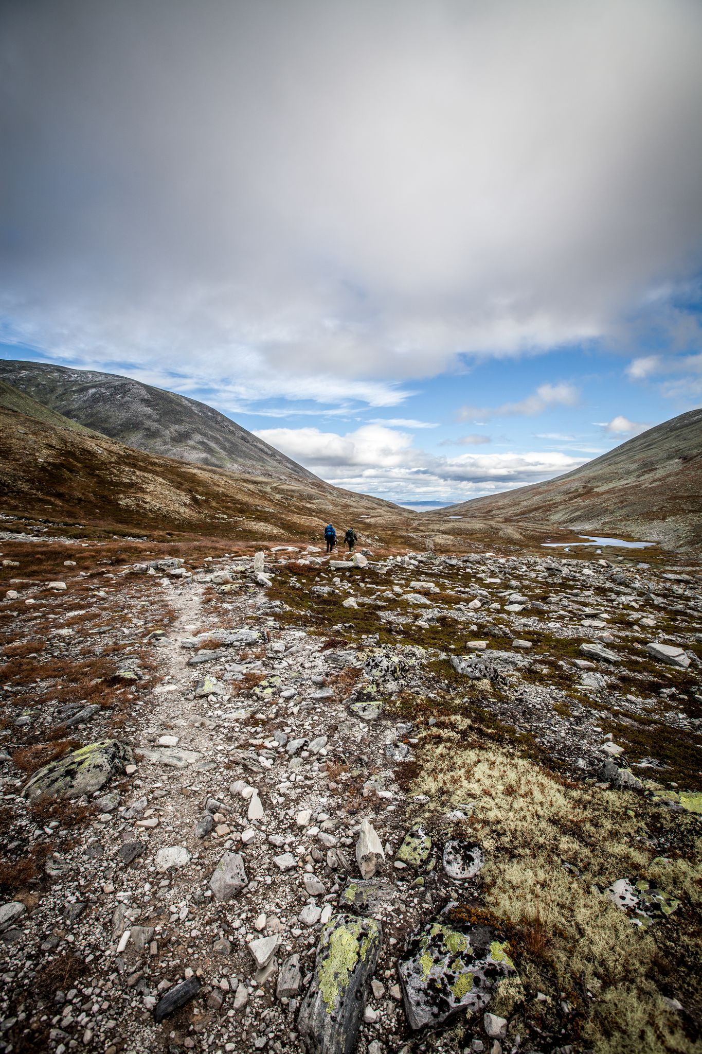
The terrain in Grimsdalen Landskapsvernområde is diverse, reflecting its unique geological divide. You'll find paths through mountain farming valleys (seterdaler), alongside rivers, and potentially across areas with varying rock compositions. The Grimsdalsvegen, a scenic gravel road, also forms part of the landscape, offering relatively smooth sections.
Are there any circular routes starting from bus stops?
Yes, several routes are designed as loops, bringing you back to your starting point. The Grimsa Wooden Bridge – Upper Fallfossen Bridge loop from Fallet and the Upper Fallfossen Waterfall – Upper Fallfossen Bridge loop from Fallet are both excellent circular options. Another loop is the Dovre Church – Dovre church loop from Dovre kyrkje.
What are some notable natural features or landmarks I can see along these trails?
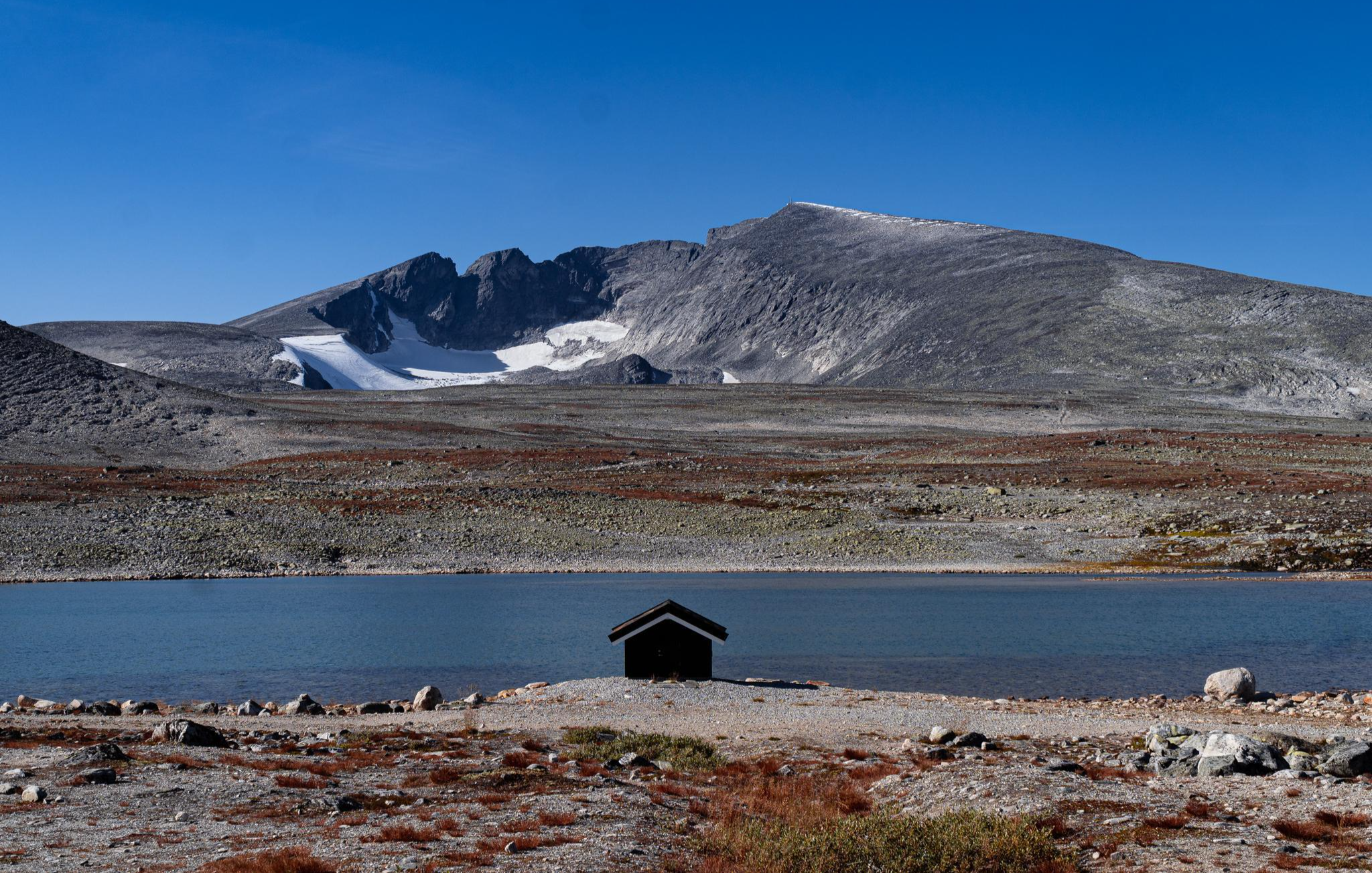
Grimsdalen Landskapsvernområde is rich in natural beauty and cultural heritage. You can encounter the unique plant life, including the rare Dovre draba, and potentially spot wildlife like musk oxen or wild reindeer. The Storrvatnet Lake, with its traditional red falun huts, is a picturesque highlight. The DNT Grimsdalshytta is also a significant landmark and a great base for exploration.
What is the best time of year to hike in Grimsdalen Landskapsvernområde from a bus station?
The best time for hiking in Grimsdalen Landskapsvernområde is typically from early June to early October, when the Grimsdalsvegen road is open and the weather is most favorable. This period offers the best conditions to enjoy the diverse landscapes and cultural sites.
Are there any longer, more challenging hikes accessible by bus?
For those seeking a longer, moderate challenge, the Upper Fallfossen Waterfall – Upper Fallfossen Bridge loop from Fallet covers 15.5 km. Another moderate option is the 13.5 km route From Stodsbuøye to Dørålseter, offering a more extensive experience of the valley.
Can I expect to see any waterfalls on these bus-accessible routes?
Yes, the Upper Fallfossen Waterfall – Upper Fallfossen Bridge loop from Fallet specifically highlights the Upper Fallfossen Waterfall, making it a great choice if you're looking to experience this natural feature.
What do other hikers say about the bus-accessible trails in Grimsdalen Landskapsvernområde?
The area is highly rated by the komoot community, with an average score of 4.6 stars from 266 ratings. Reviewers often praise the stunning mountain scenery, the rich biodiversity, and the deeply rooted cultural landscapes that make Grimsdalen an outstanding destination for hikers.
Are there opportunities to learn about the region's history while hiking?
Yes, Grimsdalen Landskapsvernområde is rich in cultural heritage. The valley is dotted with historic mountain farms (seter), some dating back to the 18th century, preserving a unique cultural landscape. The Barthstigen Trail, mentioned in regional research, also provides insights into the history of wild reindeer hunting and settlement, though it may require a short detour from direct bus stops.
Is it possible to combine hiking with other activities like cycling in the area?
While this guide focuses on hiking, the scenic Grimsdalsvegen road that runs through the valley is very popular for cycling, particularly as part of the 'Tour de Dovre' route. If you're planning a multi-sport trip, this could be an interesting option to consider alongside your bus-accessible hikes.
Most popular routes in Grimsdalen Landskapsvernområde
Most popular attractions in Grimsdalen Landskapsvernområde

Get inspired with the komoot mobile app


Explore more
Browse the best Hikes in other regions.
