The best hikes from bus stations around Rhoscolyn
4.7
(572)
4,754
hikers
42
hikes
Hiking around Rhoscolyn, located on Holy Island, Anglesey, features a rugged coastline with low cliffs, sandy beaches, and numerous inlets. The terrain includes coastal heath, dunes, and small woodlands, offering varied walking experiences. Natural rock formations and offshore islands add to the scenic interest. This area is part of the Anglesey Area of Outstanding Natural Beauty.
Best bus station hiking trails around Rhoscolyn
- The most popular bus station hiking route is Borth Wen Beach – Traeth Llydan Beach loop from…
Last updated: June 23, 2026
21
hikers
13.0km
03:23
80m
80m
Moderate hike. Good fitness required. Easily-accessible paths. Suitable for all skill levels.
7
hikers
Easy hike. Great for any fitness level. Easily-accessible paths. Suitable for all skill levels.
3
hikers
Moderate hike. Good fitness required. Easily-accessible paths. Suitable for all skill levels.
Get access to more routes and recommendations from other explorers.
Sign up for free
Already have an account?
Our route recommendations are based on thousands of hikes, rides, and runs completed by other people on komoot.
Start today with a free account
Your next adventure awaits.
Login or Signup
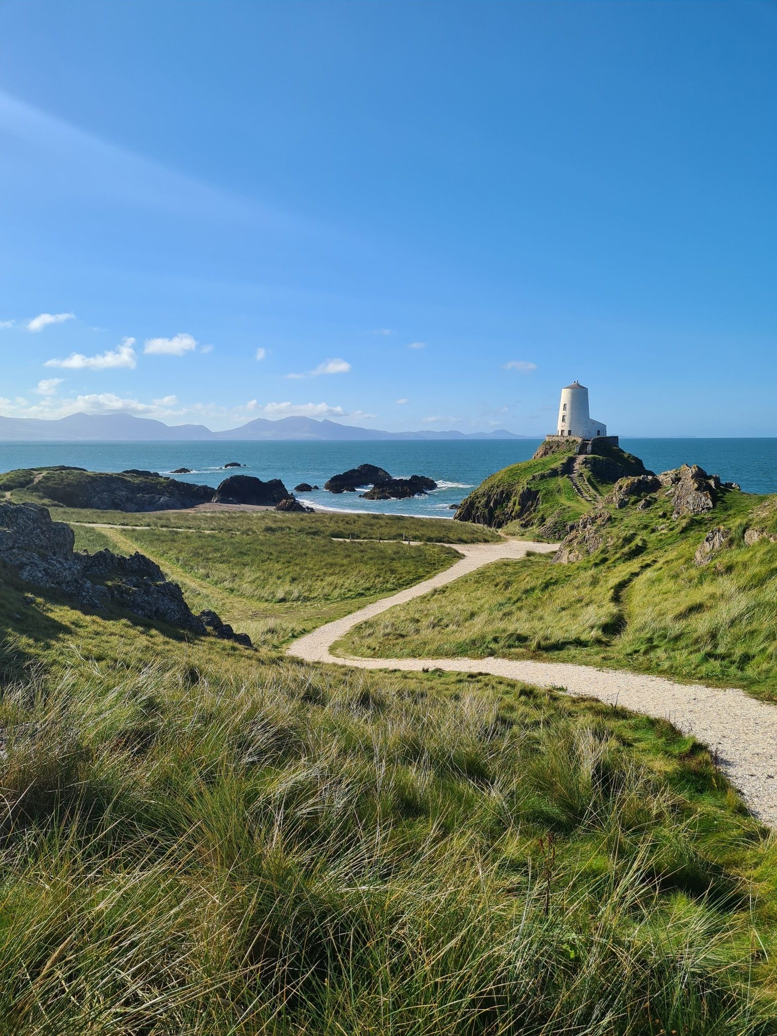
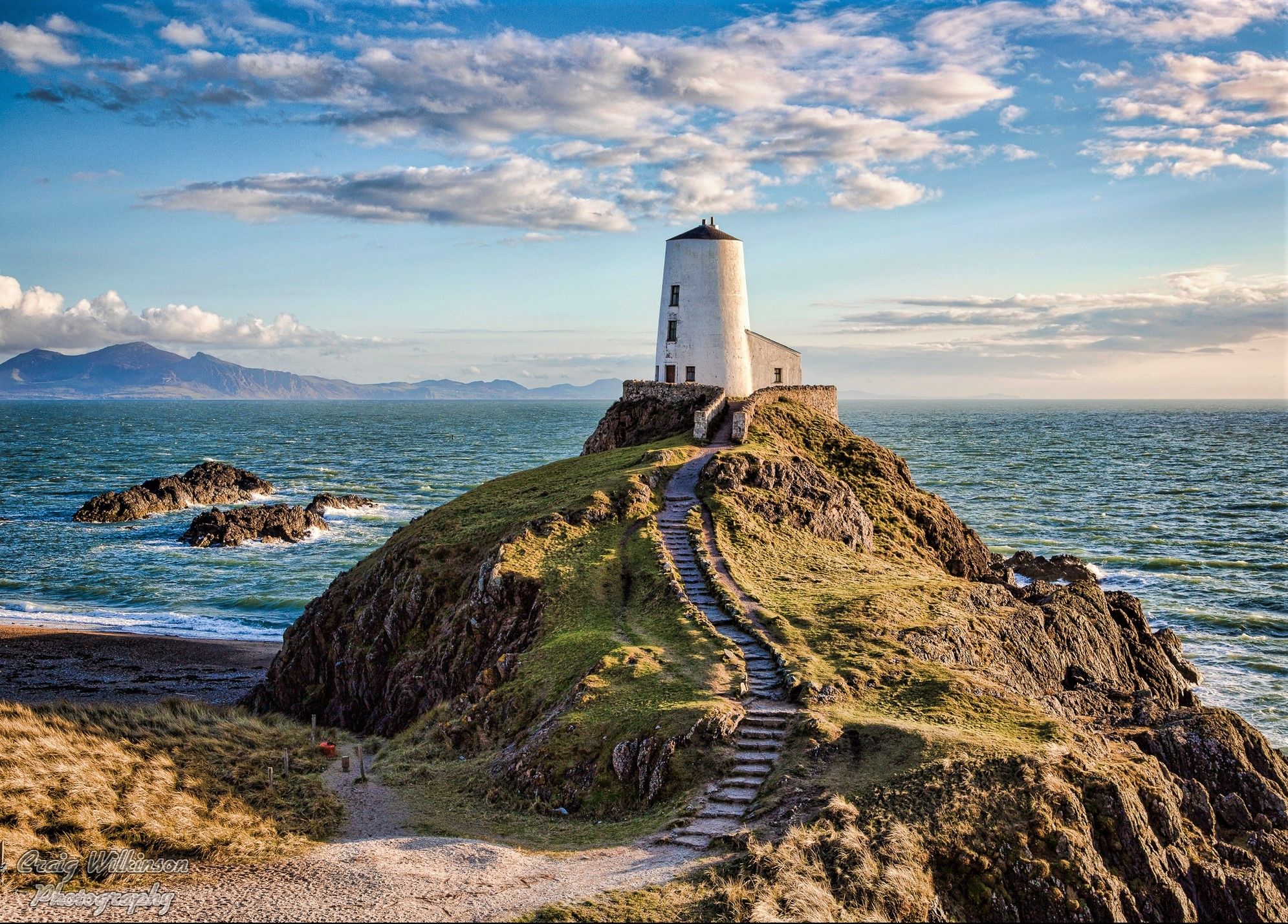


Tips from the Community

I can't remember the name of this pub, but it sells beer!
3
0
This is a quiet little bay which is great for throwing sticks into the water, Cooper loves water!
3
0
There can be cows here grazing right on the coastline, your dog is fine off lead as long as they are cool with the cattle!
4
0

The bridge itself takes the same name as the village it is situated in and is one of three bridges connecting Holy Island and Anglesey. The bridge is approximately four miles (6.5 km) from Holyhead via the old road route, giving it, and the village, its name. A bridge at this location was in existence by 1530, and was the only land route to Holyhead until the construction of the Stanley Embankment in 1823. It is 120 metres (390 ft) long and carries the B4545 road over the Cymyran strait. I think the crossing over the water is about 5km
5
0

It’s definitely not 4 miles long, but it is 4 miles from Holyhead (on the old road). Until the 1800s this was the only crossing to Holy Island; now it forms the ‘inland sea’ together with the main crossing on The Cob embankment at the northern end of the Cymran Strait.
1
0
The Sea Shanty cafe, off the main road behind the beach, is a good option for a stop, without outside seating and servery.
0
0
Trearddur or Trearddur Bay is a village, seaside resort and community south of Holyhead on the west coast of Holy Island off the north-west coast of Anglesey in Wales. The community includes the small settlement of Penrhosfeilw and the Refail Farm estate
5
2

Brilliant place, even when the sun isn't out. There are some restrictions for dogs on the beach during certain times of the year. When we visited, it was a free for all and all dogs had an amazing time.
2
0
Frequently Asked Questions
How many bus station hiking trails are available around Rhoscolyn?
There are over 40 hiking trails around Rhoscolyn that are easily accessible from bus stations, making it simple to explore the area without a car. These routes range from easy strolls to more challenging coastal paths.
What kind of terrain can I expect on bus station hikes in Rhoscolyn?
The terrain around Rhoscolyn is incredibly varied, offering a mix of dramatic rocky coastline, sandy beaches like Borth Wen and Traeth Llydan, and coastal heath. You'll also find sections through farmland and small pockets of woodland, all part of the Anglesey Area of Outstanding Natural Beauty. Expect some elevation changes, especially on coastal routes.
Are there any easy, family-friendly walks accessible from a bus stop in Rhoscolyn?
Yes, there are several easy routes suitable for families. For example, the Trearddur Bay Beach – Trearddur Bay Beach loop from Four Mile Bridge is an easy 7.4 km trail that offers pleasant coastal views and is accessible from a bus stop, perfect for a relaxed family outing.
Can I bring my dog on the bus station hiking trails in Rhoscolyn?
Many of the trails around Rhoscolyn are dog-friendly, especially those along the coastal path. However, it's always best to keep dogs on a lead, particularly near livestock, cliff edges, and during bird nesting seasons. Be mindful of local signage regarding dog access on specific beaches, especially during peak times.
What natural features or landmarks can I see along these bus station routes?
Rhoscolyn's bus station accessible trails offer stunning natural features and historical landmarks. You can encounter impressive rock formations like Bwa Du (the Black Arch) and Bwa Gwyn (the White Arch). Along some routes, you might also pass ancient sites such as St Gwenfaen's Well. The coastline itself provides panoramic views, often extending to Snowdonia and the Llŷn Peninsula on clear days.
Are there any circular routes starting from bus stations in Rhoscolyn?
Yes, many of the bus station accessible routes are circular, allowing you to return to your starting point without retracing your steps. An example is the moderate Borth Wen Beach – Traeth Llydan Beach loop from Four Mile Bridge, which covers 13.2 km and connects two beautiful sandy bays.
What is the best time of year to hike around Rhoscolyn?
The best time to hike around Rhoscolyn is generally from spring to early autumn. During these months, the weather is milder, and the coastal wildflowers are in bloom, adding to the scenic beauty. While winter walks can be dramatic, be prepared for potentially strong winds and rain, especially along the exposed coastline.
What do other hikers enjoy most about the bus station trails in Rhoscolyn?
The komoot community highly rates the trails around Rhoscolyn, with an average score of 4.7 out of 5 stars from over 500 reviews. Hikers frequently praise the stunning coastal scenery, the diverse landscapes, and the ease of access to trailheads via public transport, allowing for car-free adventures.
Are there any longer, more challenging bus station hikes in the area?
Yes, for those seeking a longer challenge, routes like the St Gwenfaen’s Church – Trearddur Bay Beach loop from Four Mile Bridge offer a moderate 13.5 km experience. These trails often involve more varied terrain and can take several hours to complete, providing a rewarding day out.
What wildlife might I spot while hiking around Rhoscolyn?
Rhoscolyn is rich in wildlife. Along the coastal paths, you might spot seals basking on rocks or a variety of birds such as chough, peregrine falcon, shag, raven, kestrel, stonechat, whitethroat, and wheatear. The area's unpolluted nature supports a thriving ecosystem, making it a great spot for nature observation.
Are there any viewpoints or panoramic spots along the bus station routes?
Absolutely. The coastal paths around Rhoscolyn offer numerous viewpoints. The Rhoscolyn Lookout provides excellent vantage points for observing the stunning scenery. On clear days, you can enjoy panoramic views that stretch across the Irish Sea and towards the distant mountains of Snowdonia and the Llŷn Peninsula.
Where can I find information about bus schedules to access these trailheads?
For current bus schedules and public transport information to access the trailheads around Rhoscolyn, it's best to consult local transport authority websites or use a journey planner app. This will ensure you have the most up-to-date timings for your car-free adventure.
Most popular attractions around Rhoscolyn

Get inspired with the komoot mobile app


Explore more
Browse the best Hikes in other regions.
