High And Low Bishopside
High And Low Bishopside
The best hikes from bus stations around High And Low Bishopside
4.5
(1558)
12,279
hikers
30
hikes
Bus station hiking trails around High And Low Bishopside offer access to the diverse landscapes of Nidderdale, a protected National Landscape. The region is characterized by picturesque river valleys, expansive moorland, and prominent gritstone outcrops. Hikers can explore varied terrain, from riverside paths along the River Nidd to trails leading through sheltered glacial valleys and wooded areas. Modest hills provide viewpoints across the dales, making it a destination for varied outdoor activities.
Best bus station hiking trails around High And…
Last updated: November 6, 2026
4.7
(39)
199
hikers
9.39km
02:43
240m
240m
Moderate hike. Good fitness required. Easily walkable paths.
4.7
(16)
37
hikers
11.4km
03:15
270m
270m
Moderate hike. Good fitness required. Easily walkable paths.

4.5
(6)
26
hikers
Moderate hike. Good fitness required. Easily walkable paths.
5.0
(1)
9
hikers
14.8km
04:23
440m
430m
Moderate hike. Good fitness required. Easily walkable paths.
5.0
(1)
8
hikers
9.94km
02:55
270m
270m
Moderate hike. Good fitness required. Easily walkable paths.
Get access to more routes and recommendations from other explorers.
Already have an account?
Our route recommendations are based on thousands of hikes, rides, and runs completed by other people on komoot.
Start today with a free account
Your next adventure awaits.
Popular around High And Low Bishopside
Other adventures around High And Low Bishopside


Tips from the Community

Not far south of Pateley Bridge on the northern flank of Nought Moor, with a public footpath running through it. Very serene nature area with a mix of coniferous and deciduous trees and lots of ferns.
1
0
The public footpath on the Ordnance Survey map is quite set back from the cliffs (some 150m or so), but there is an easily followed path along the cliff edge, which runs from the side of the television booster mast at Abraham Crags. There are some fabulous views to be taken in, but they are intermittent in spring/summer due to all the vegetation obscuring some of the views.
1
0
The folly, also known as "Two Stoops" or "The Stoops," is a Grade II listed structure with a distinct, L-shaped design that evokes the ruins of a church, perhaps an east window or a crossing. Situated at the top of Nought Bank, there are expansive views of Pateley Bridge, the surrounding dale, and the Nidderdale countryside. Commissioning a folly to provide employment during a recession was a relatively common practice in the Victorian era.
1
0
Quintessentially pretty market town, arrive early to find suitable parking, best place is next to the showground on the southern side of the bridge over the River Nidd. Honesty box only (no payment cards), cheap at £1 up to 4 hours and £2 all day (spring 2025 prices). The southern end of Nidderdale around Pateley Bridge has one of the densest concentrations of public footpaths in North Yorkshire, so loads of routeing options. See the North Yorks public rights of way map at https://maps.northyorks.gov.uk/connect/analyst/mobile/#/main?mapcfg=Out_and_About
1
0
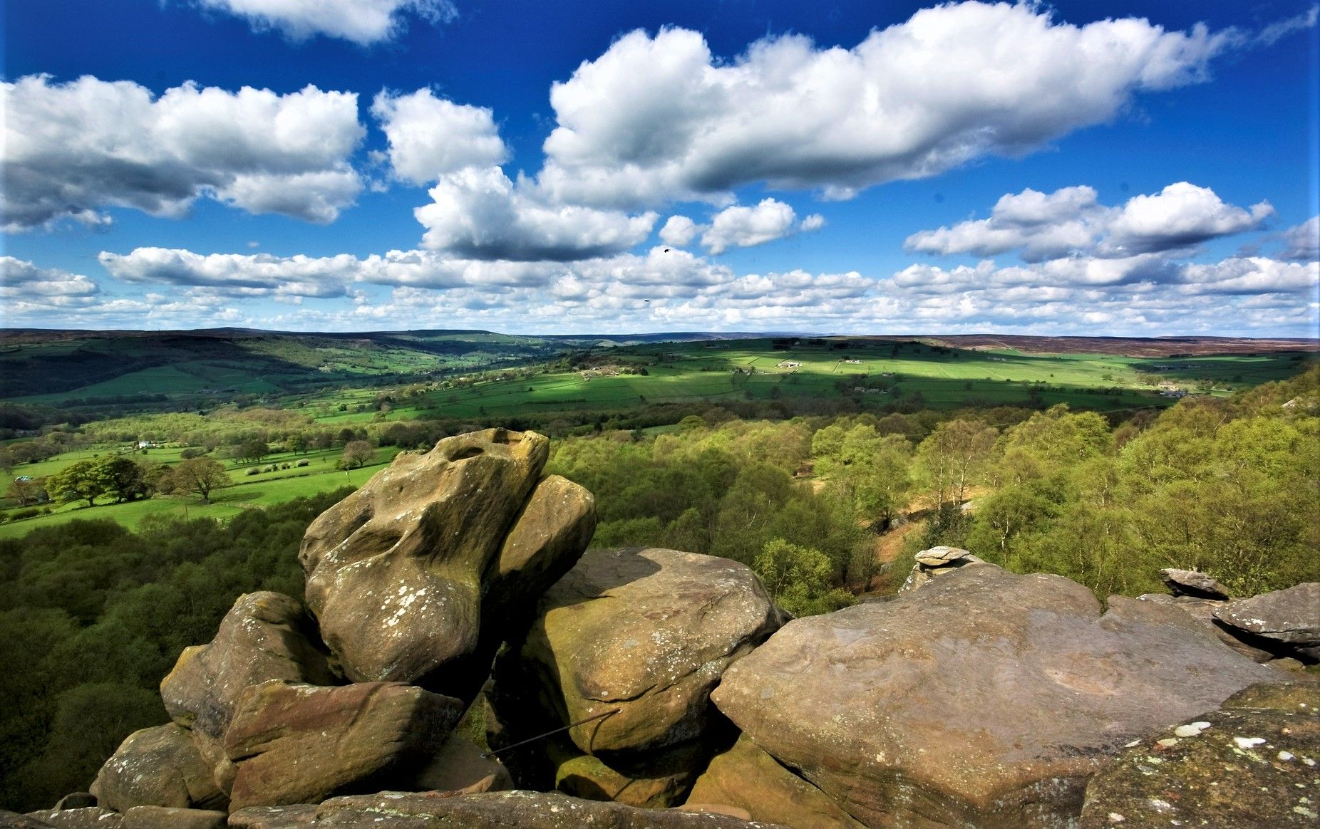
If you are looking for the main Brimham Rocks site then that is 500m north. This bridleway runs through High Wood and Horse Wood to Smelthouses.
1
0
If you can stomach getting up very early for hikes and runs, then you will have the place to yourself. Absolutely stunning at around 6-7am in the early morning May sunshine.
1
0
Great views both up and downstream, with parking on both sides of the bridge. The car park on the southern side, next to the cricket pitch and showground, is quite big and now relies on an honesty box for payment.
1
0
Set below the imposing Castlestead, a 19th century house that has been used as a boarding school, hydropathic establishment, and to house Officers during the Second World War and then children from Hull Sailors' Orphanage. Great unobstructed views of the weir from the footpath.
1
0
Frequently Asked Questions
How many bus station hiking trails are available in High And Low Bishopside?
There are over 20 bus station hiking trails around High And Low Bishopside, offering a variety of options for car-free adventures. These routes start directly from public transport stops, making it easy to explore the beautiful Nidderdale landscape.
What is the general difficulty level of bus station hikes in High And Low Bishopside?
The bus station hikes in High And Low Bishopside cater to various fitness levels. You'll find a good mix, with 8 easy routes and 14 moderate routes. There are no difficult routes listed, making the area accessible for most hikers.
Are there many circular routes starting from bus stations in this area?
Yes, many of the bus station hikes in High And Low Bishopside are circular, allowing you to return to your starting point without needing to retrace your steps. For example, the Stone Bridge, Pateley Bridge – Yorke's Folly loop from Pateley Bridge is a popular moderate circular option.
What natural features or landmarks can I expect to see on these bus station hikes?
Hiking from bus stations in High And Low Bishopside offers access to diverse landscapes. You can explore the River Nidd, expansive moorlands, and picturesque river valleys. Notable landmarks include Yorke's Folly and Guise Cliff Viewpoint, which offer stunning vistas. The area is also known for its gritstone outcrops, such as the famous Brimham Rocks, though specific bus routes to Brimham Rocks may require checking local transport schedules.
Are there any waterfalls or lakes accessible from bus station trails?
While the immediate bus station trails might not lead directly to major waterfalls, the wider region of High And Low Bishopside is home to several beautiful water features. You can find highlights like Hackfall Wood, which features waterfalls, and scenic lakes such as Thruscross Reservoir and Glasshouses Dam. Some routes, like the Glasshouses Village and Lake – Smeltbakes Dessert Café loop from Nidderdale National Landscape, incorporate lake views.
Are these bus station trails suitable for families?
Many of the bus station trails in High And Low Bishopside are suitable for families, especially the 8 easy routes available. The varied terrain, from riverside paths to gentle climbs, offers engaging experiences for different age groups. Always check the specific route details for distance and elevation to ensure it matches your family's capabilities.
Can I bring my dog on these bus station hikes?
Yes, High And Low Bishopside is generally dog-friendly, with many public footpaths welcoming well-behaved dogs. However, please be mindful of livestock, especially in moorland and pastoral areas, and keep dogs on a lead where necessary. Always carry waste bags and ensure your dog is under control. Specific routes may have local restrictions, so it's good practice to check signage.
Are there options for a pub lunch or cafe stop along these routes?
Pateley Bridge, often considered the 'Capital of Nidderdale,' is a central hub with numerous footpaths starting nearby and offers a good selection of cafes and pubs. Many routes, such as the Glasshouses Village and Lake – Smeltbakes Dessert Café loop from Nidderdale National Landscape, specifically mention cafe stops, making it easy to combine your hike with refreshments.
What are some easy bus station hikes for beginners?
For beginners, there are 8 easy routes available from bus stations. These typically feature gentler gradients and shorter distances, perfect for those new to hiking or looking for a relaxed stroll. Look for routes that stick to river valleys or lower-lying areas for a more accessible experience.
What do other hikers enjoy most about bus station hikes in High And Low Bishopside?
The bus station hikes in High And Low Bishopside are highly rated by the komoot community, with an average score of 4.46 out of 5 stars from over 1,200 ratings. Reviewers often praise the convenience of starting directly from public transport, the stunning views of the Nidderdale landscape, and the variety of terrain, from riverside paths to moorland vistas.
When is the best time of year to hike from bus stations in High And Low Bishopside?
High And Low Bishopside offers great hiking opportunities year-round. Spring brings wildflowers and lush greenery, while summer provides longer daylight hours and generally good weather. Autumn showcases beautiful fall foliage across the dales. Winter hikes can be stunning, especially with crisp air and potential snow, but require appropriate gear and checking weather conditions, as some paths may be muddy or icy.
Most popular routes around High And Low Bishopside
Most popular attractions around High And Low Bishopside

Get inspired with the komoot mobile app


Explore more
Browse the best Hikes in other regions.
