The best hikes from bus stations around Ravenstonedale
4.5
(627)
4,806
hikers
24
hikes
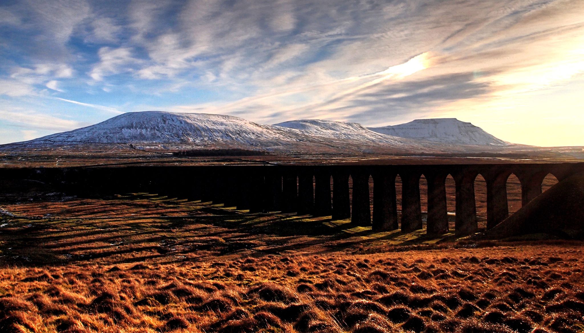
Bus Station hikes around Ravenstonedale offer access to the diverse landscapes of eastern Cumbria. The region is characterized by the rolling, grassy slopes of the Howgill Fells, river valleys carved by the Scandal Beck and River Rawthey, and areas of dramatic limestone pavements. Hikers can explore open moorland and nature reserves like Smardale Gill, which features a historic viaduct. This varied terrain provides a range of experiences for those exploring on foot.
Best bus station hiking trails around Ravenstonedale
- The…
Last updated: October 10, 2026
4.7
(12)
63
hikers
13.0km
03:35
220m
220m
Moderate hike. Good fitness required. Easily-accessible paths. Suitable for all skill levels.
5.0
(4)
22
hikers
19.5km
05:45
530m
530m
Hard hike. Very good fitness required. Easily-accessible paths. Suitable for all skill levels.

4.8
(4)
9
hikers
14.8km
04:02
230m
230m
Moderate hike. Good fitness required. Easily-accessible paths. Suitable for all skill levels.
10
hikers
18.7km
05:10
310m
310m
Hard hike. Very good fitness required. Easily-accessible paths. Suitable for all skill levels.
4.0
(1)
6
hikers
8.93km
02:43
290m
290m
Moderate hike. Good fitness required. Easily-accessible paths. Suitable for all skill levels.
Get access to more routes and recommendations from other explorers.
Already have an account?
Our route recommendations are based on thousands of hikes, rides, and runs completed by other people on komoot.
Start today with a free account
Your next adventure awaits.
Popular around Ravenstonedale
Other adventures around Ravenstonedale

Tips from the Community


Fantastic views down valley to the viaduct
0
0
Frequently Asked Questions
How many bus station hiking trails are available around Ravenstonedale?
There are over 25 hiking routes accessible directly from bus stations around Ravenstonedale. These trails offer a variety of experiences, from easy strolls to more challenging fell walks, allowing you to explore the stunning Howgill Fells and surrounding valleys without needing a car.
Are there easy hiking routes from Ravenstonedale bus stations?
Yes, Ravenstonedale offers several easy hiking routes accessible by bus. For instance, you can find 5 easy trails that are perfect for a relaxed day out, allowing you to enjoy the scenic beauty of the area without strenuous climbs.
What kind of natural features can I expect to see on these bus-accessible trails?
The bus-accessible trails around Ravenstonedale showcase the diverse natural beauty of the region. You'll encounter the distinctive rolling, grassy slopes of the Howgill Fells, tranquil river valleys like Scandal Beck, and unique limestone pavements. The Smardale Lime Kilns – Smardale Gill Viaduct loop from Ravenstonedale, for example, takes you through the Smardale Gill Nature Reserve, known for its rich flora and the historic viaduct.
Are there any circular walks starting from Ravenstonedale bus stations?
Many of the routes accessible from bus stations in Ravenstonedale are circular, allowing you to return to your starting point without retracing your steps. An example is the Smardale Lime Kilns – Smardale Bridge loop from Ravenstonedale, which offers a moderate 12.9 km journey through picturesque landscapes.
What are some notable landmarks or viewpoints along the bus-accessible trails?
Hikers can discover several interesting landmarks and viewpoints. The Hunthoof Pike Cairn – View of Tebay and Orton loop from Ravenstonedale offers panoramic views. You might also encounter the historic Nine Standards or the impressive The Calf Summit (Howgill Fells) on some of the more challenging routes.
Are there any challenging hikes accessible by bus in Ravenstonedale?
Yes, for experienced hikers seeking a challenge, there are difficult routes available. The Bowderdale Valley – View of Bowderdale Valley loop from Newbiggin on Lune is a demanding 19.5 km hike with significant elevation gain, offering rewarding views of the Howgill Fells.
What do other hikers say about the trails around Ravenstonedale?
The hiking trails around Ravenstonedale are highly regarded by the komoot community, with an average rating of 4.6 out of 5 stars from nearly 500 reviews. Hikers often praise the serene, unspoiled nature of the Howgill Fells, the well-maintained paths, and the sense of tranquility compared to busier regions.
Can I find trails that lead to lakes or tarns from a bus station?
Yes, some trails will lead you to beautiful water features. For example, a 4.5-mile loop from Ravenstonedale can take you to Paradise Tarn, offering a peaceful spot amidst the open countryside.
What is the best time of year to hike from Ravenstonedale bus stations?
Ravenstonedale offers great hiking opportunities throughout the year. Spring brings wildflowers, while summer provides longer daylight hours. Autumn showcases vibrant foliage, and even winter can be beautiful for walks, especially on lower-level routes, though conditions on the fells can be challenging. Always check local weather forecasts before heading out.
Are there any long-distance routes that can be accessed from Ravenstonedale bus stops?
While this guide focuses on day hikes, Ravenstonedale's strategic location means some bus-accessible routes may connect with or run alongside sections of longer trails, such as the Pennine Bridleway National Trail. This allows for extended exploration if you plan your journey carefully.
Are there any trails that offer views of the Smardale Gill Viaduct?
Absolutely. The historic Smardale Gill Viaduct is a prominent feature in the Smardale Gill Nature Reserve. The Smardale Gill Viaduct – Smardale Lime Kilns loop from Ravenstonedale is a challenging 18.6 km route that provides excellent views of this impressive structure as you traverse the valley.
Most popular routes around Ravenstonedale
Most popular attractions around Ravenstonedale

Get inspired with the komoot mobile app


Explore more
Browse the best Hikes in other regions.
