The best hikes from bus stations around Staffin
4.6
(6167)
38,943
hikers
16
hikes
Hiking around Staffin, located on the northeast coast of the Isle of Skye, offers access to a landscape shaped by ancient landslides and volcanic activity. The region is characterized by dramatic basalt formations, coastal paths, and unique geological features. Hikers can explore areas with high cliffs, hidden plateaus, and significant fossil sites. This diverse terrain provides a range of bus station hiking trails for various abilities.
Best bus station hiking trails around Staffin
- The most popular bus station hiking route…
Last updated: July 7, 2026
4.7
(92)
309
hikers
13.9km
05:00
520m
520m
Hard hike. Very good fitness required. Sure-footedness, sturdy shoes and alpine experience required.
4.7
(76)
505
hikers
3.08km
00:53
80m
80m
Easy hike. Great for any fitness level. Easily-accessible paths. Suitable for all skill levels.

Sign up for free
4.8
(494)
4,213
hikers
4.68km
02:08
310m
310m
Moderate hike. Good fitness required. Mostly accessible paths. Sure-footedness required.
4.6
(34)
293
hikers
Hard hike. Very good fitness required. Sure-footedness, sturdy shoes and alpine experience required.
4.5
(48)
249
hikers
Easy hike. Great for any fitness level. Easily-accessible paths. Suitable for all skill levels.
Get access to more routes and recommendations from other explorers.
Sign up for free
Already have an account?
Our route recommendations are based on thousands of hikes, rides, and runs completed by other people on komoot.
Start today with a free account
Your next adventure awaits.
Login or Signup
Other adventures around Staffin


Tips from the Community


Needle Rock rises like a narrow, dark pillar from the rugged landscape of Trotternish, precisely where the slopes tear open into jagged rock points. The shape is so sharp and distinctive that it immediately stands out from the rest of the massif — a marker in the landscape that naturally draws your gaze upwards.
1
0

Creag Loisgte is a lesser-known but distinctive ridge on the Trotternish Peninsula of the Isle of Skye. It is located near the Quiraing and is part of the dramatic landscape formed by landslides and volcanic processes. The name comes from Gaelic and roughly means 'burnt rock', referring to the dark basalt formations. Creag Loisgte offers wide views over the rugged coastline and is appreciated by hikers who wish to experience the island's quiet, pristine nature away from the well-trodden paths.
0
0
Fir Bhreugach is a striking rock formation in the Quiraing area on the Isle of Skye. The name comes from Gaelic and means approximately "the false man" or "the deceiver", referring to the unusual, almost human-like silhouette of the rocks. Like many formations on the Trotternish Peninsula, Fir Bhreugach was formed by landslides and erosion, which are constantly changing the landscape. Today, it is a less well-known but fascinating part of the Quiraing, contributing to the mysterious, almost mythical atmosphere of this unique landscape.
0
0
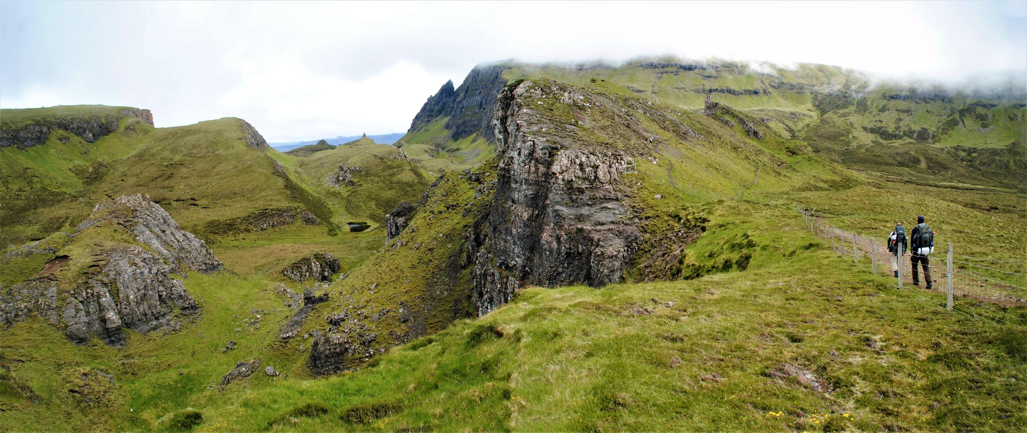
The Quiraing on the Isle of Skye is a spectacular landscape of rugged rocks, steep slopes, and green plateaus on the Trotternish Peninsula. It was formed by massive landslides that are still active today, constantly changing the landscape's shape. The area is known for distinctive formations like The Needle, The Prison, and The Table. The Quiraing offers some of Scotland's most impressive views and is a popular destination for hikers and photographers. Its dramatic scenery gives it an almost mystical atmosphere.
0
0

i would really reccomend this walk but car parking can be tedious
5
0

The descent is partly slippery and should only be attempted by experienced hikers.
0
0
In the middle of nowhere, this telephone booth stands as a symbol of another time.
0
0
Frequently Asked Questions
How many bus station hiking trails are available around Staffin?
There are 17 bus station hiking trails available around Staffin, offering a variety of options for car-free adventures. These include 4 easy routes, 10 moderate routes, and 3 difficult routes.
Are there any easy, family-friendly hikes accessible from a bus stop in Staffin?
Yes, for an easy and family-friendly option, consider the An Corran dinosaur footprint loop from Staffin. This 4.5 km route offers a gentle walk and the chance to discover dinosaur footprints at Staffin Beach during low tide, a fascinating experience for all ages.
What kind of natural attractions can I see along bus station hiking trails in Staffin?
Staffin's bus station trails offer access to dramatic landscapes and unique geological features. You can explore iconic rock formations like the Old Man of Storr and The Quiraing, or visit the scenic View of Needle Rock. Coastal walks also provide views of Kilt Rock and Mealt Falls, where a waterfall cascades directly into the sea.
Are there any bus station hikes that offer views of the famous Old Man of Storr?
Absolutely. The View of the Old Man of Storr – View of Needle Rock loop from The Storr is a moderate 4.1 km hike that provides incredible panoramic views of this iconic rock pinnacle, part of the dramatic Trotternish Ridge.
Can I find circular hiking routes starting from bus stations in Staffin?
Yes, many of the bus station trails in Staffin are circular, allowing you to return to your starting point without retracing your steps. An example is the challenging Meall na Suiramach and the Quiraing Loop, which takes you through unique rock formations and hidden plateaus.
What do other hikers enjoy most about hiking in Staffin?
The hiking trails around Staffin are highly rated by the komoot community, with an average score of 4.6 out of 5 stars from over 5,400 ratings. Reviewers often praise the dramatic landscapes, unique geological features, and the accessibility of these stunning routes directly from public transport stops.
Are there any bus station trails where I can see dinosaur footprints?
Yes, the An Corran dinosaur footprint loop from Staffin leads to Staffin Beach, where you can find significant Middle Jurassic dinosaur footprints at low tide. Another option is the Brothers' Point Trail, which also offers opportunities to discover more dinosaur footprints in its rockpools.
What is the best time of year to hike the bus station trails in Staffin?
The best time to hike in Staffin is generally during the spring (April-May) and autumn (September-October) for milder weather and fewer midges. Summer (June-August) offers longer daylight hours but can be busier. Always be prepared for changeable weather conditions typical of the Isle of Skye, regardless of the season.
Are there any longer, more challenging bus station hikes for experienced hikers?
For experienced hikers seeking a challenge, the Rubha Hunish & the Skye Trail loop from Flodigarry is a difficult 21.4 km route. This trail offers extensive views and a demanding trek along the Trotternish peninsula.
Are the bus station hiking trails in Staffin dog-friendly?
Many trails in Staffin are dog-friendly, but it's always recommended to keep dogs on a lead, especially in areas with livestock or ground-nesting birds. The Brothers' Point Trail is a good option for a walk with your canine companion, offering coastal views and rockpools.
What geological features make Staffin a unique hiking destination?
Staffin is often called a 'Theatre of Geology' due to its formation from ancient landslides and erosion. Hikers can witness dramatic basalt formations, evidence of ancient landslides, and unique rock formations like those found at The Quiraing, including The Prison, The Needle, and The Table. The coastal areas also reveal significant Jurassic fossils.
Most popular attractions around Staffin

Get inspired with the komoot mobile app


Explore more
Browse the best Hikes in other regions.
