Top 18 Mountain Passes around Escholzmatt-Marbach
Best mountain passes around Escholzmatt-Marbach are situated within the UNESCO Biosphere Entlebuch, a region characterized by rolling hills, valleys, and mountainous terrain. This area in the canton of Lucerne, Switzerland, offers diverse landscapes for outdoor activities. While not known for traditional vehicular passes, the region provides numerous high-altitude experiences through its summits and trails. These locations offer natural beauty and varied activities for exploration.
Best mountain passes around Escholzmatt-Marbach
- The most popular mountain passes is Hilferen Pass, a mountain_pass…
Last updated: June 26, 2026
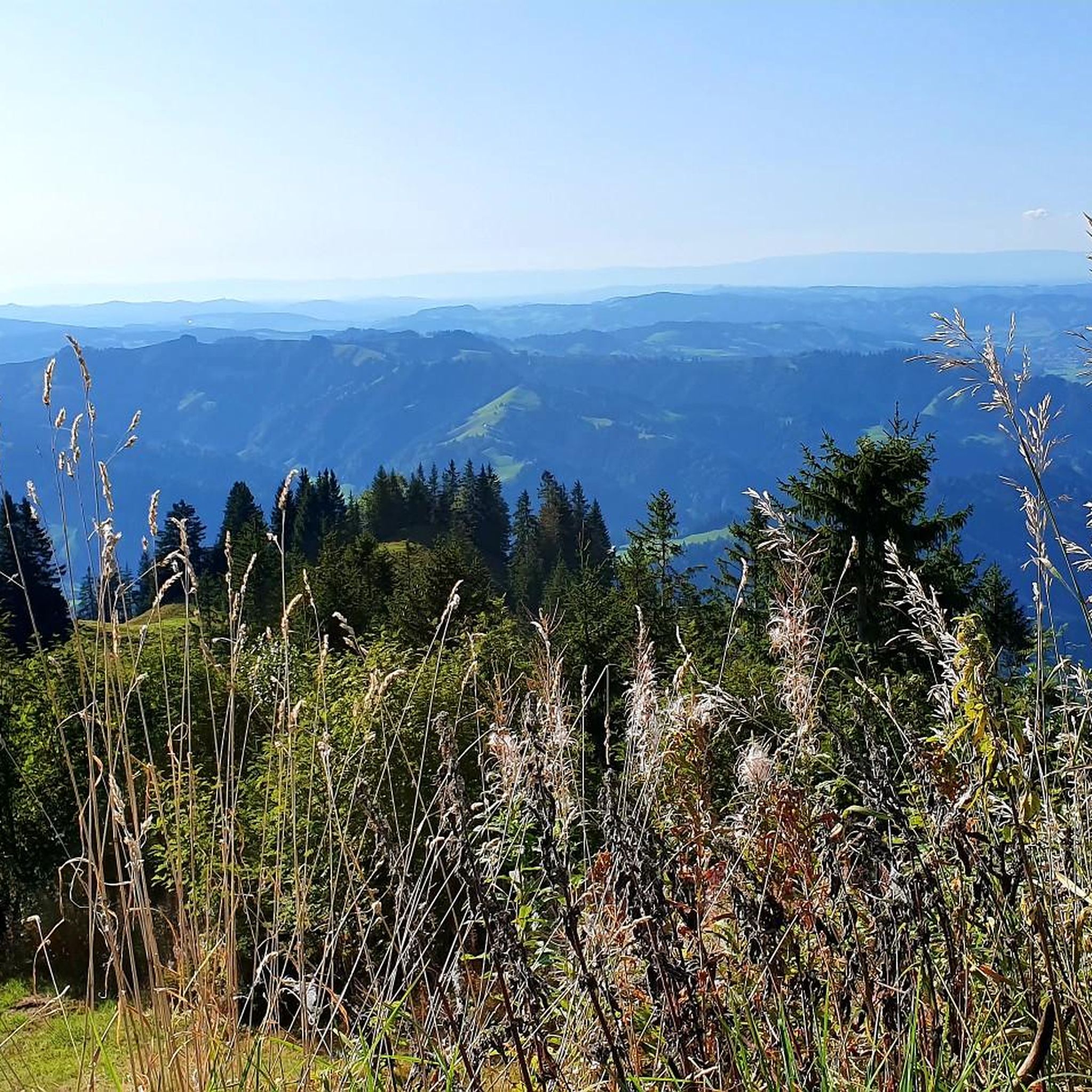
Grünenberg Pass
Highlight • Mountain Pass
Translated by Google •
Tip by

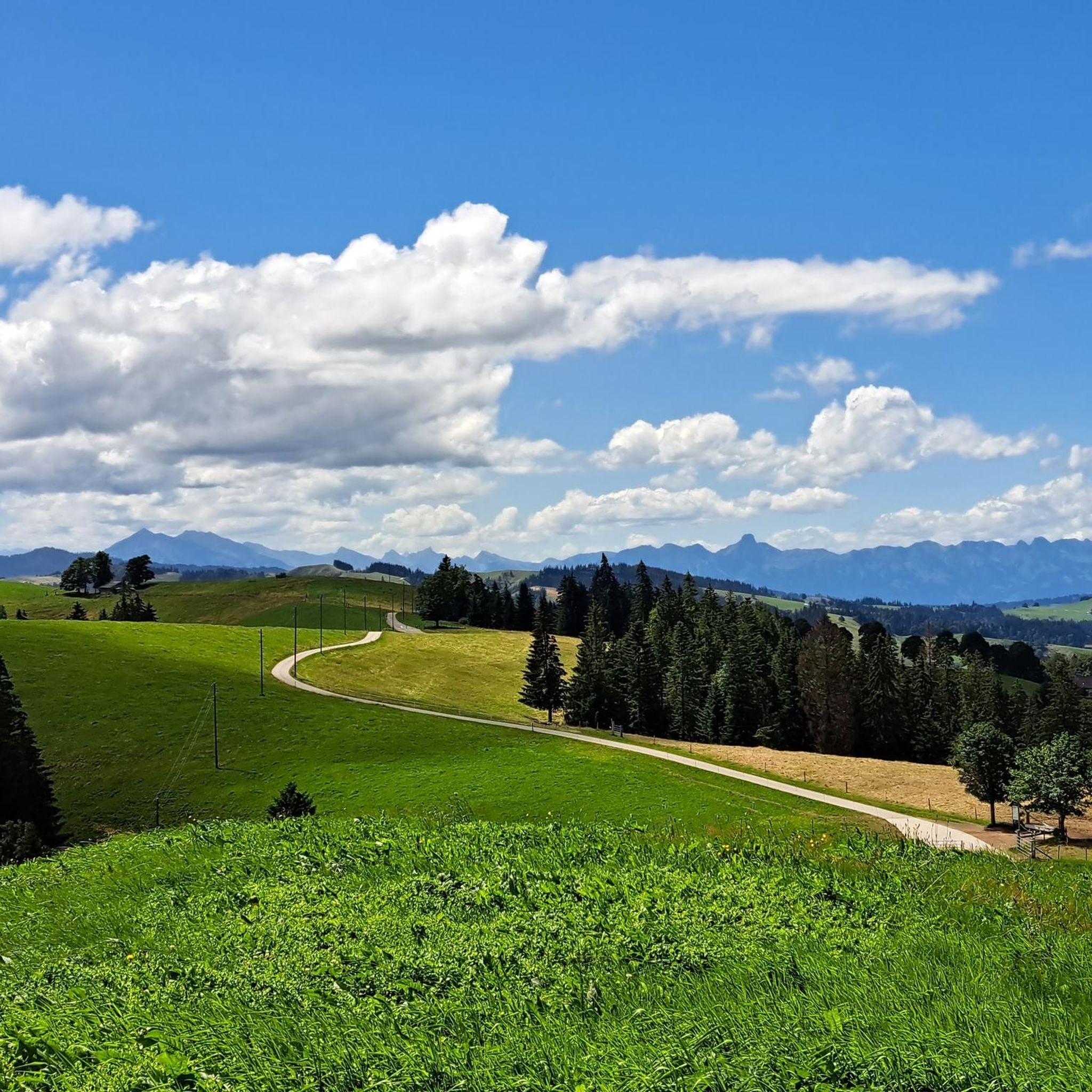
Hilferen Pass
Highlight • Mountain Pass
Translated by Google •
Tip by
Sign up now to discover places like this
Get recommendations on the best single tracks, peaks, & plenty of other exciting outdoor places.
Sign up for free
Lättgässli Pass
Highlight • Mountain Pass
Translated by Google •
Tip by

Schallenberg Pass
Highlight • Mountain Pass
The Gabelspitz restaurant is highly recommended, whether for a hearty meal or the famous strawberry cake with nidle.
✌🏻😎🤘🏻
Translated by Google •
Tip by

Glaubenberg Pass from Sarnen
Highlight (Segment) • Mountain Pass
It gets pretty cold on the descent from Glaubenberg, so make sure you have something warm :)
Tip by

Sign up for free to discover even more mountain passes around Escholzmatt-Marbach.
Sign up for free
Already have an account?
Start today with a free account
Your next adventure awaits.
Login or Signup
Popular around Escholzmatt-Marbach
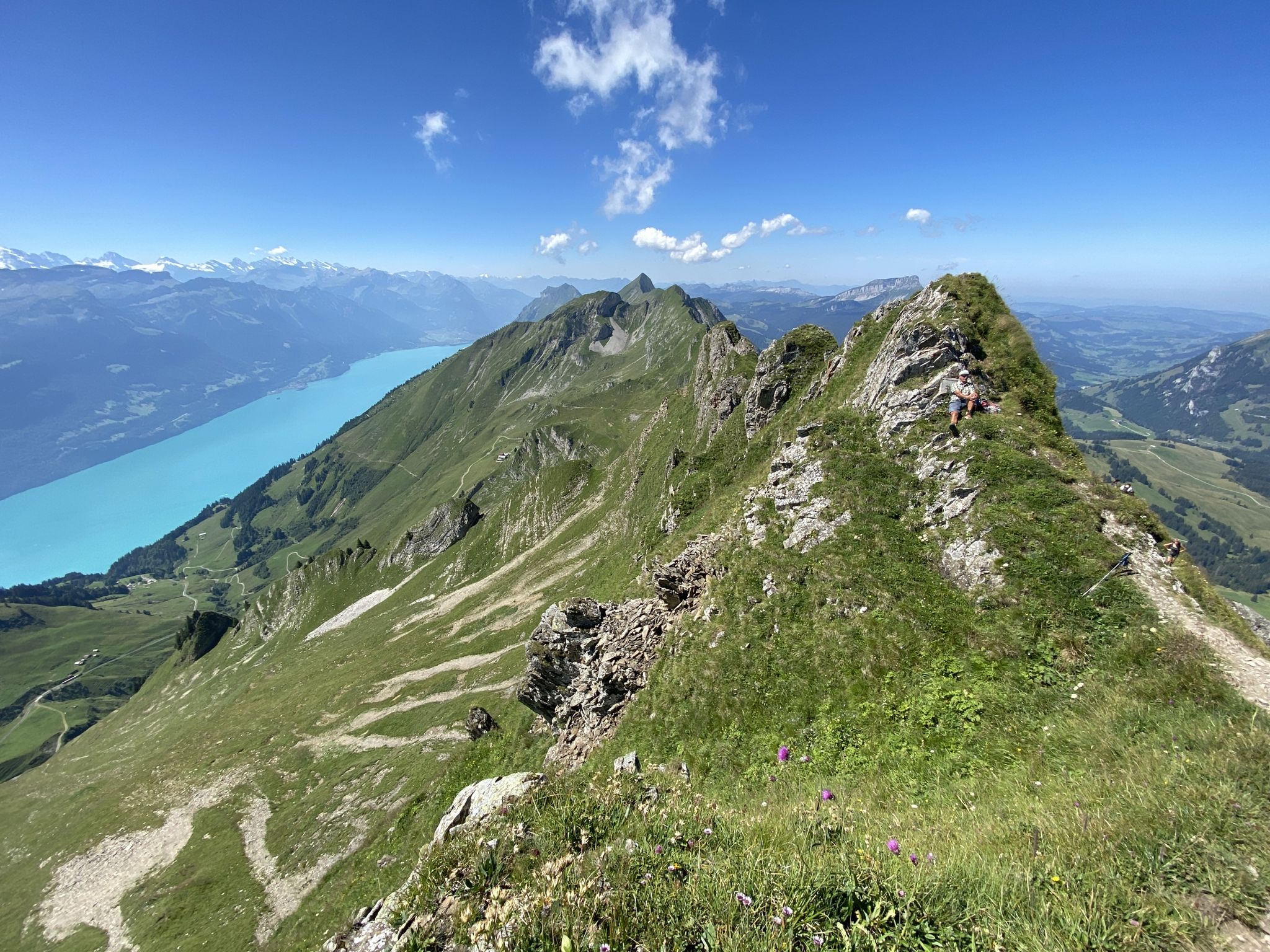
Napfbergland Border Trail – Hike between Bern and Lucerne
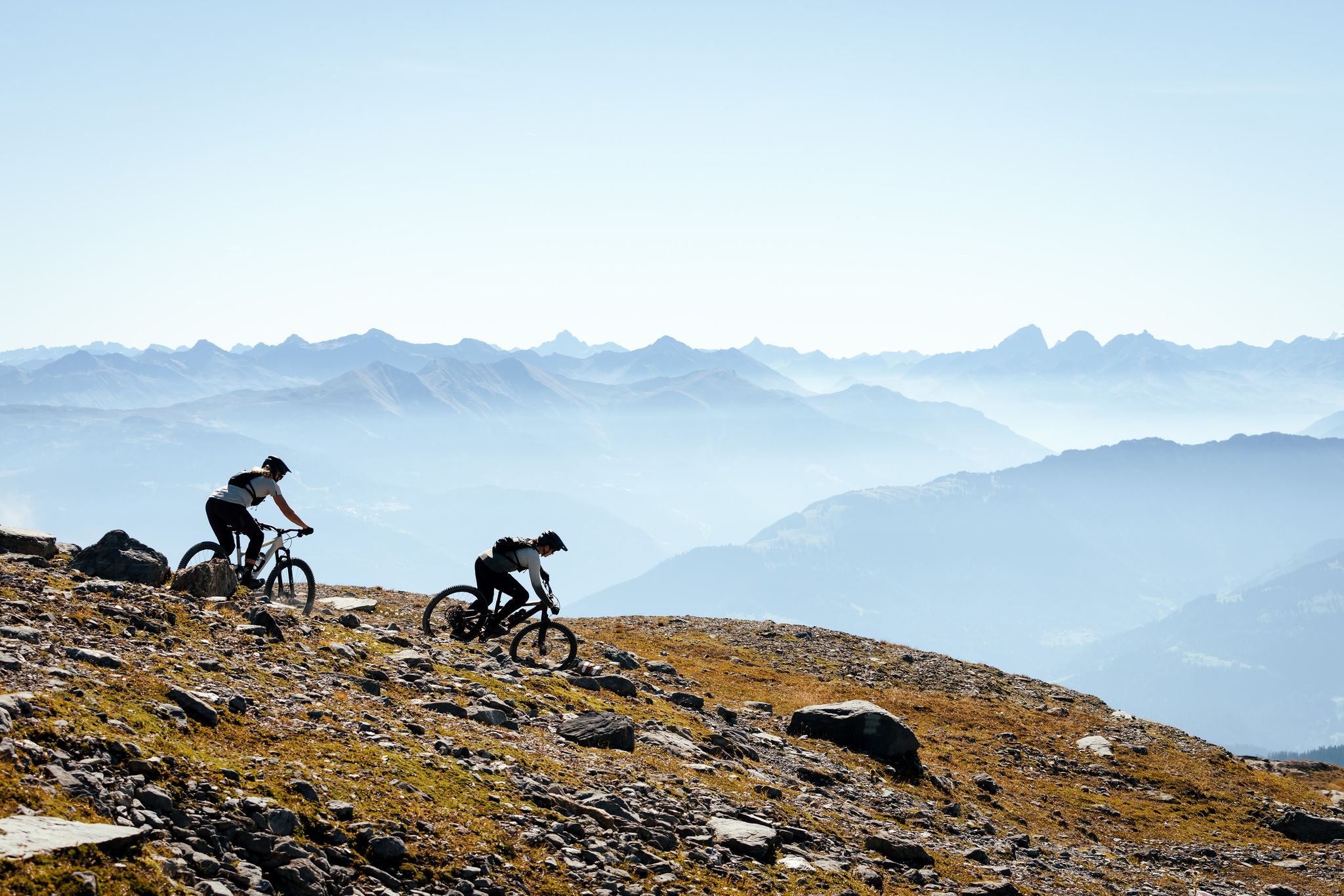
100% Women: the most beautiful MTB routes for every woman
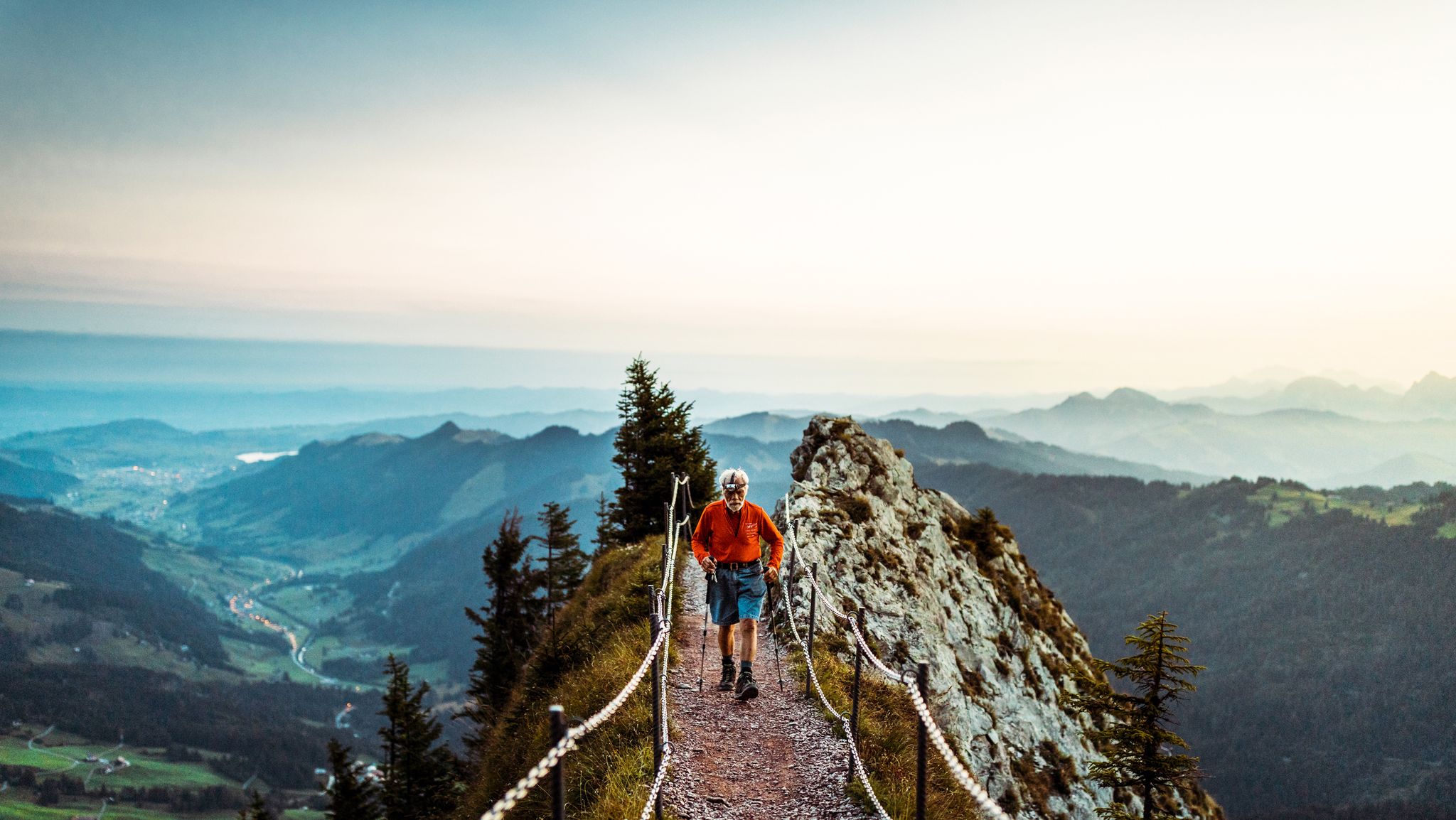
Lucerne — The Myth-man
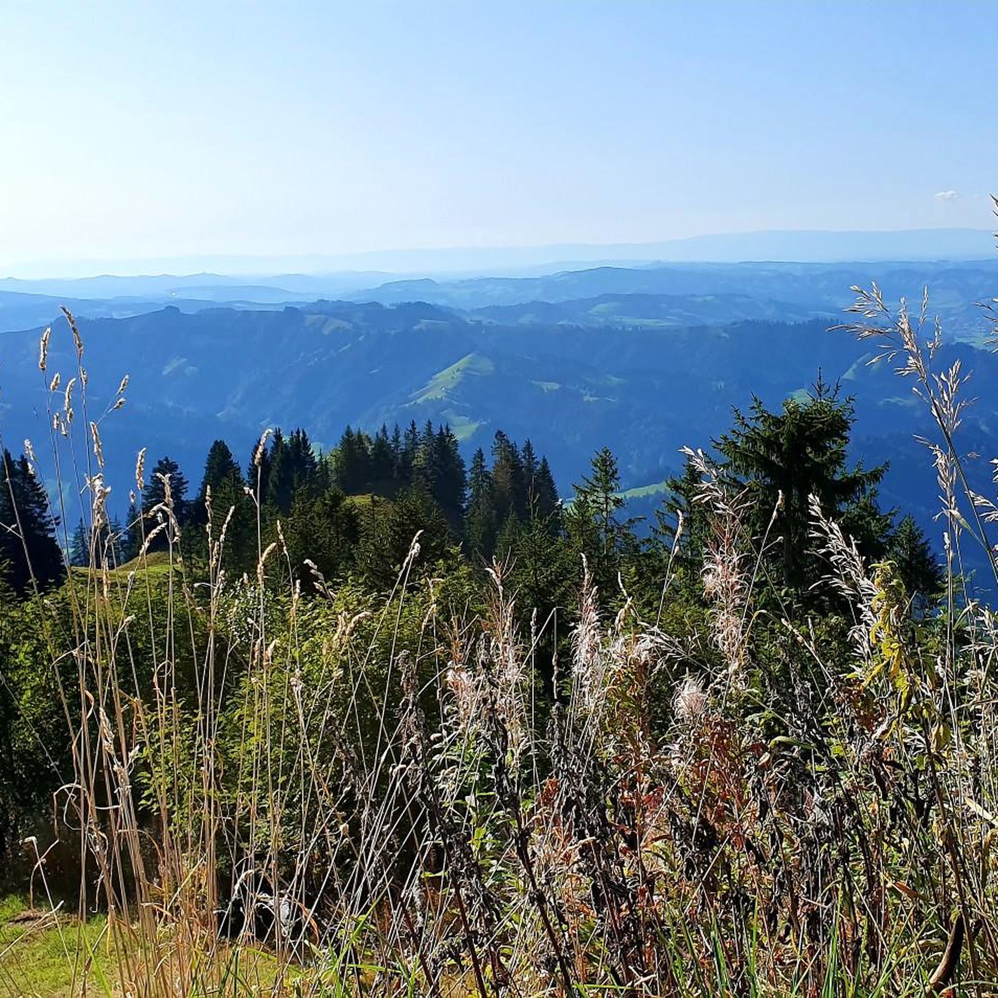
Hiking around Escholzmatt-Marbach
MTB Trails around Escholzmatt-Marbach
Cycling around Escholzmatt-Marbach
Road Cycling Routes around Escholzmatt-Marbach
Gravel biking around Escholzmatt-Marbach
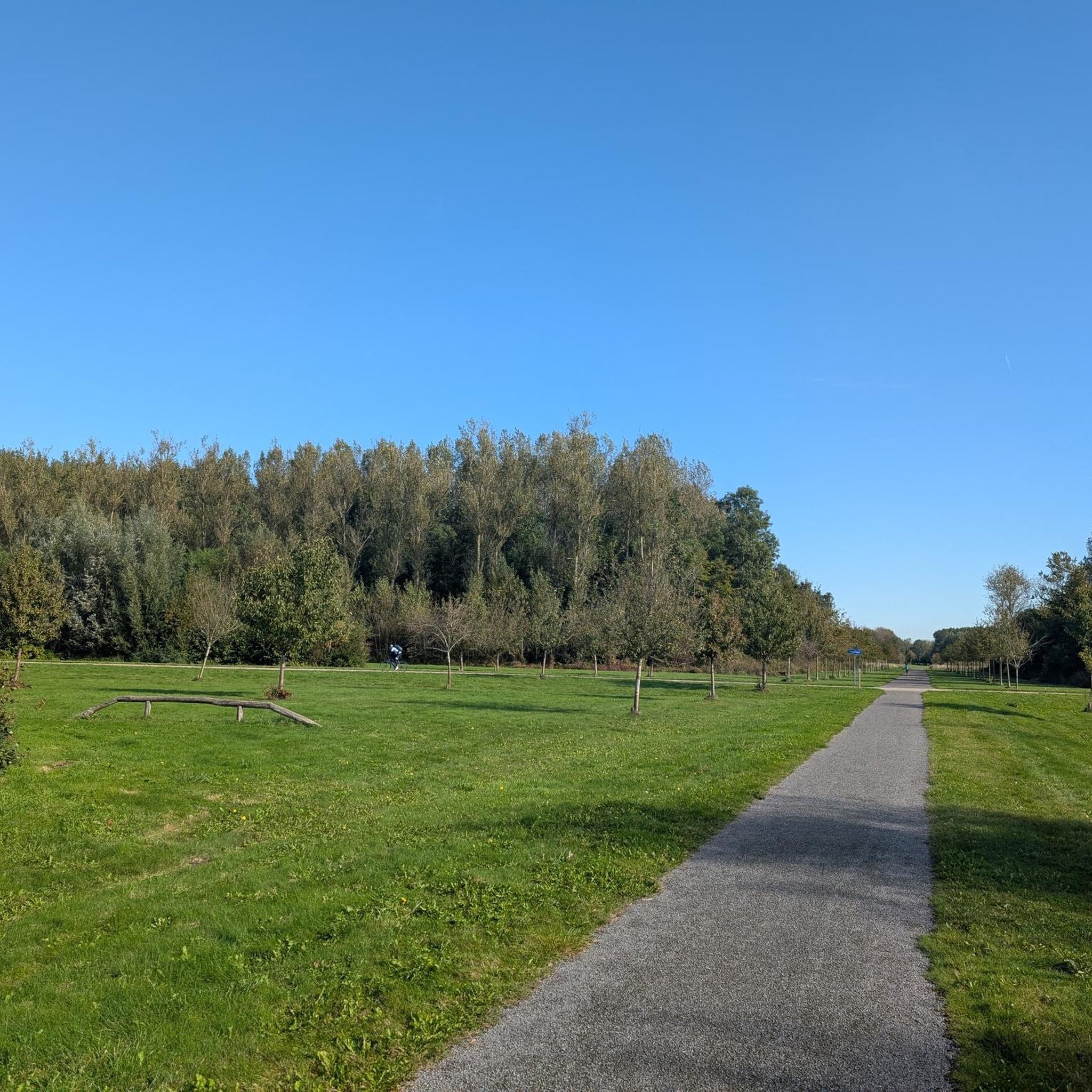
Mountain Hikes around Escholzmatt-Marbach
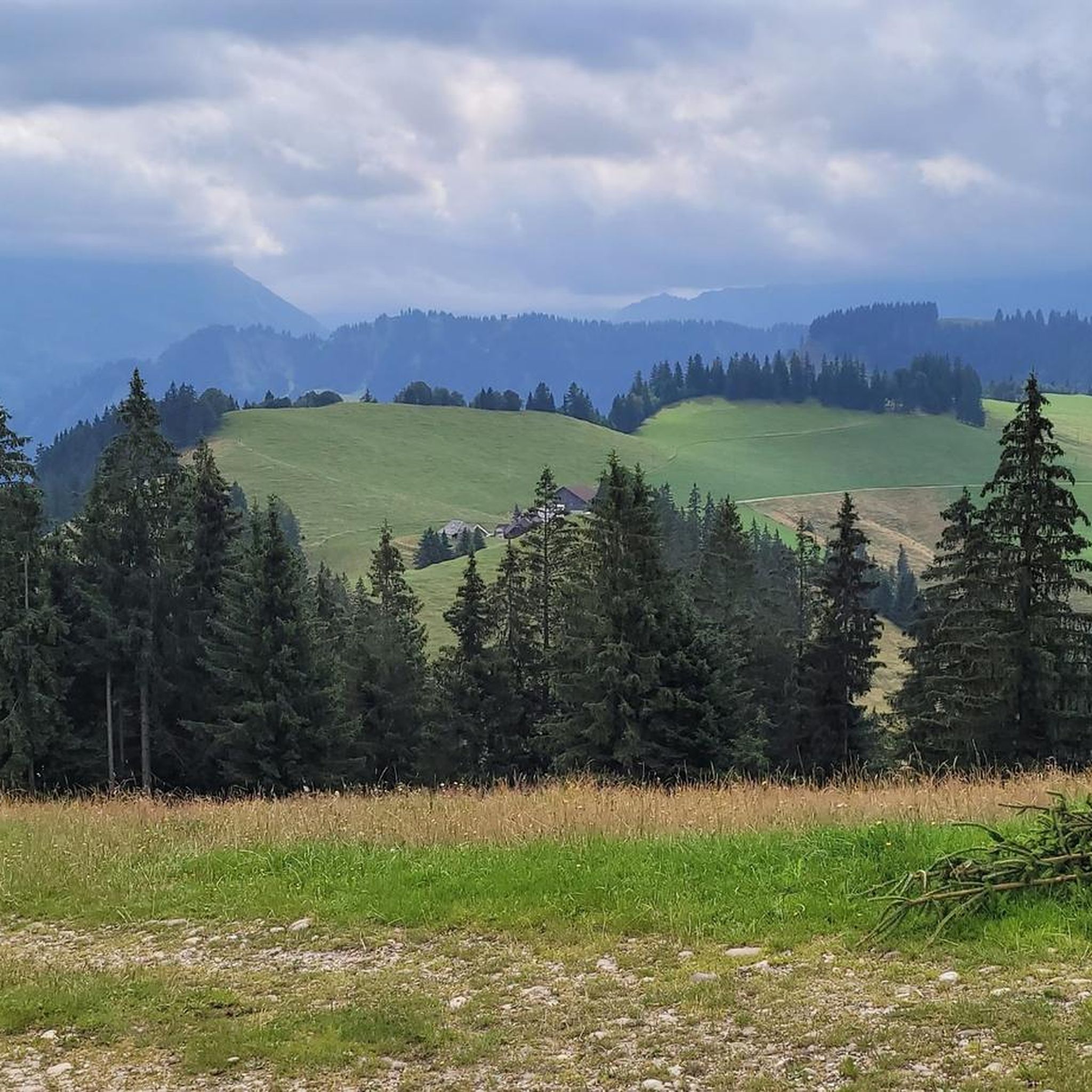
Running Trails around Escholzmatt-Marbach
Other adventures around Escholzmatt-Marbach


Tips from the Community


The climb towards Eriz is very rocky and therefore bumpy. Good steering skills are an advantage.
1
0

When you climb from Sörenberg, this is the point where you reach the ridge and see Lake Brienz and the peaks of the Bernese Oberland for the first time - breathtaking!
1
0

A great route from Habkern to the top of the pass. Very bumpy descent and almost impossible for me
2
2

The "Lättgässli" is a gully on the north side of the Brienzer Grat with a developed, marked mountain hiking trail. The steep ascent and descent path is developed with steps in the upper part. Here the ridge path leading from the Rothorn changes from the south to the north side. It is therefore a kind of crossing over the Brienzer Grat at an altitude of 2160 m, without being a significant pass. Further down or west at Chrutere at an altitude of 2073 m, the path forks: to the southwest the path continues to the Chrutere pass and from there down to Planalp and Brienz; a steep path with a lot of scree leads down to the north on the steep northern slope of the mountain range down to Rossweid with the gondola down to Sörenberg or as a hiking trail to Sörenberg. Addition: As late as mid-June (2024) there was a lot of snow in the wide crevice. The ascent or descent was quite difficult. The wire rope safety device was absolutely necessary, but also problematic, namely far too loose, as it was obviously aimed at the steps further away.
2
2


A beautiful but one of the most dangerous climbs over the Hardergrat. Also in September there are many flying insects at the top.
2
1
Frequently Asked Questions
What kind of mountain experiences can I expect around Escholzmatt-Marbach?
Escholzmatt-Marbach, located within the UNESCO Biosphere Entlebuch, offers diverse landscapes ranging from rolling hills to mountainous terrain. While not primarily known for traditional vehicular mountain passes, the region provides numerous high-altitude experiences through its prominent summits and scenic trails. You can expect breathtaking panoramic views, especially from recreational hubs like Marbachegg, which offers vistas of the Schrattenfluh, Hohgant, and the Bernese Alps.
Are there challenging mountain passes for experienced hikers or cyclists?
Yes, the region features several challenging mountain passes. For instance, Grünenberg Pass is a challenging route only accessible via a narrow, unpaved military road, ensuring a quiet experience with magnificent views. Another demanding option is Lättgässli Pass, which involves a technical ridge path offering impressive views down to Lake Brienz and the Eiger, Mönch, and Jungfrau massif.
What are some less-known mountain passes for a quieter experience?
For a more tranquil experience, consider Hilferen Pass. It's rather unknown and not accessible by motorized vehicles, making it ideal for silent and enjoyable cycling or hiking. Despite a relatively steep approach, the quiet nature and views are rewarding, and there's even an alpine hut with self-service drinks at the top.
What outdoor activities can I do near the mountain passes around Escholzmatt-Marbach?
The mountainous terrain around Escholzmatt-Marbach is perfect for various outdoor activities. You can explore numerous hiking trails, including moderate options like the 'Marbachegg - Bumbach - Marbach' route. For cyclists, there are challenging road cycling routes and gravel biking adventures, such as the 'Marbach Panorama Trail'. You can find more details and routes in the dedicated guides for Hiking around Escholzmatt-Marbach, Road Cycling Routes around Escholzmatt-Marbach, and Gravel biking around Escholzmatt-Marbach.
Is Escholzmatt-Marbach suitable for family-friendly outdoor activities?
Yes, the region offers family-friendly experiences, particularly around Marbachegg. While not a traditional pass, Marbachegg is a significant recreational hub with an interactive adventure trail that families can enjoy. The area also features the mystical Lourdes Grotto, providing a peaceful spot for reflection.
What are the best times to visit the mountain passes for hiking and cycling?
The best time for hiking and cycling around Escholzmatt-Marbach's mountain passes is generally during the warmer months, from late spring to early autumn. This period offers pleasant weather conditions and ensures trails are clear of snow. Some passes, like Schallenberg Pass, are best enjoyed during the week to avoid heavy traffic from motorbikes and cars that can occur on sunny weekends.
Are there any mountain passes with particularly good views?
Absolutely. Many of the elevated areas and passes in Escholzmatt-Marbach offer stunning vistas. Lättgässli Pass, for example, provides an incredible view down to Lake Brienz and the majestic Eiger, Mönch, and Jungfrau massif. The Glaubenberg Pass from Sarnen also offers spectacular views of Lake Sarnen and across to the Wetterhorn/Eigermassiv during its challenging climb.
How accessible are the mountain passes by public transport?
While specific public transport access directly to every mountain pass trailhead can vary, Escholzmatt-Marbach is a municipality with connections. For detailed information on reaching specific starting points for your chosen route, it's best to consult local public transport schedules. Some passes, like Hilferen Pass and Grünenberg Pass, are not accessible by motorized vehicles, meaning you'll need to reach them by bike or on foot after a certain point.
Can I find food and drink options near the mountain passes?
Yes, there are culinary options available. For example, near Hilferen Pass, you'll find the Sammligen alpine hut, which offers self-service drinks. The area around Marbachegg also provides attractive culinary experiences, including opportunities to taste products from the Marbach Alpine Dairy, known for its buffalo mozzarella. Additionally, Schallenberg Pass has a restaurant at the top, popular with bikers.
What are the typical difficulties of mountain passes in this region?
The mountain passes around Escholzmatt-Marbach range from intermediate to challenging. Many routes feature significant ascents and descents. For instance, Grünenberg Pass and Lättgässli Pass are considered challenging due to steep sections, unpaved roads, or technical ridge paths. Hilferen Pass and Schallenberg Pass are generally intermediate, though they can still present steep sections.
Are there any specific natural features or wildlife to look out for?
The entire region is part of the UNESCO Biosphere Entlebuch, which is known for its rich natural beauty and biodiversity. While specific wildlife sightings can vary, you'll be immersed in diverse landscapes including forests, alpine meadows, and rugged rock formations, particularly around passes like Lättgässli Pass. The area is ideal for appreciating the unique flora and fauna of a protected biosphere.
Most popular routes around Escholzmatt-Marbach
Most popular attractions around Escholzmatt-Marbach

Get inspired with the komoot mobile app


Explore more
See even more epic mountain passes by checking out these guides around Escholzmatt-Marbach:
