The 8 Most Amazing Peaks around Movelier
Mountain peaks around Movelier are characterized by rolling hills, extensive forests, and agricultural lands, including mountain pastures, rather than towering summits. The municipality itself sits at an elevation of approximately 690 to 698 meters above sea level. This region in the Jura foothills offers numerous elevated areas valued for their natural beauty and recreational opportunities. Nearly half of Movelier's land is covered by forests, providing a picturesque environment for outdoor activities.
Best mountain peaks around Movelier
- The most popular mountain…
Last updated: October 4, 2026
Remelturm Observation Tower
Highlight • Viewpoint
Translated by Google •
Tip by

Karlisberg (946 m above sea level)
Highlight • Viewpoint
Translated by Google •
Tip by

Sign up now to discover places like this
Get recommendations on the best single tracks, peaks, & plenty of other exciting outdoor places.
Brunneberg: Highest Point
Highlight • Summit
Translated by Google •
Tip by
Grande Roche Viewpoint
Highlight • Viewpoint
Translated by Google •
Tip by

View of Passwang and Jura Peaks
Highlight • Viewpoint
Translated by Google •
Tip by
Sign up for free to discover even more peaks around Movelier.
Already have an account?
Start today with a free account
Your next adventure awaits.
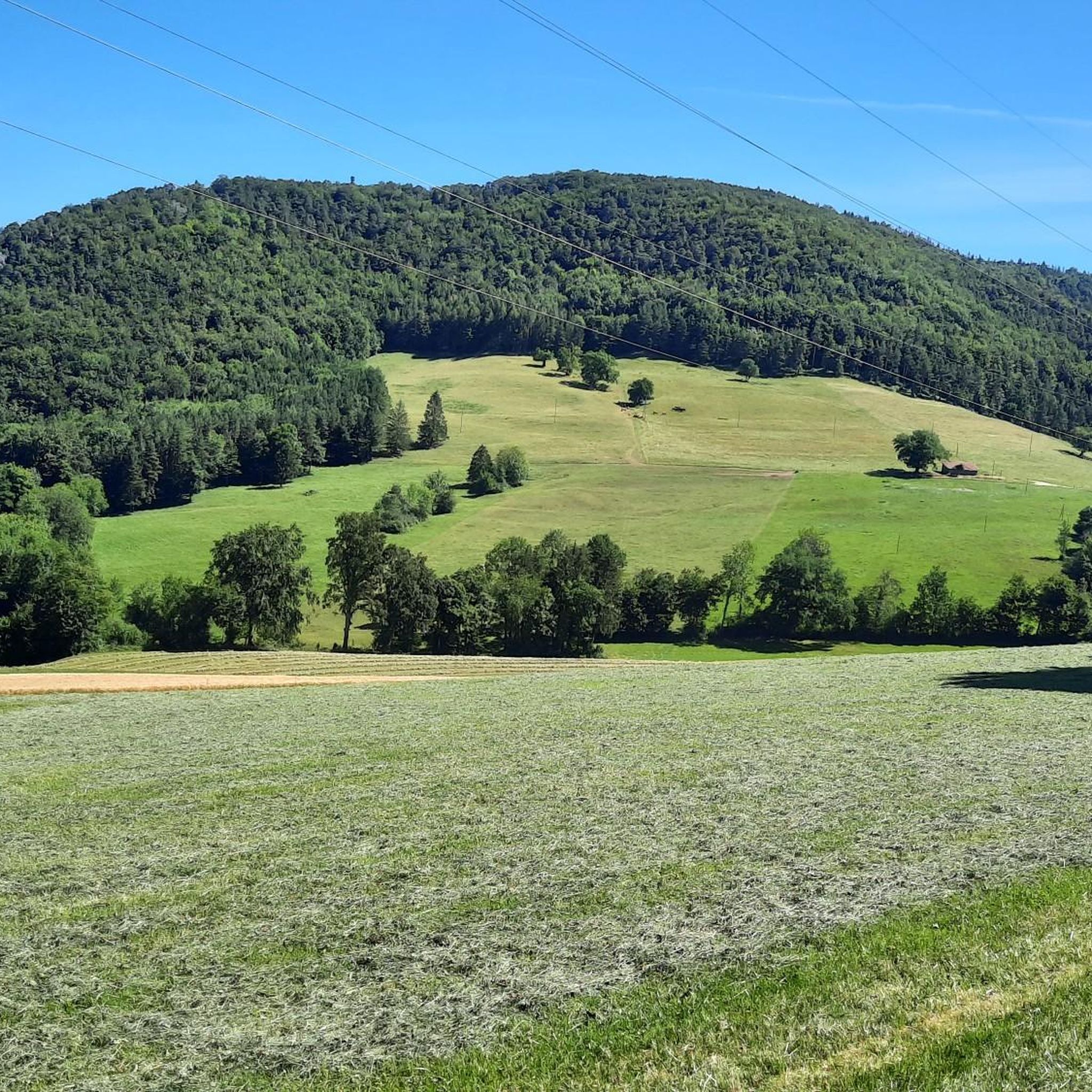
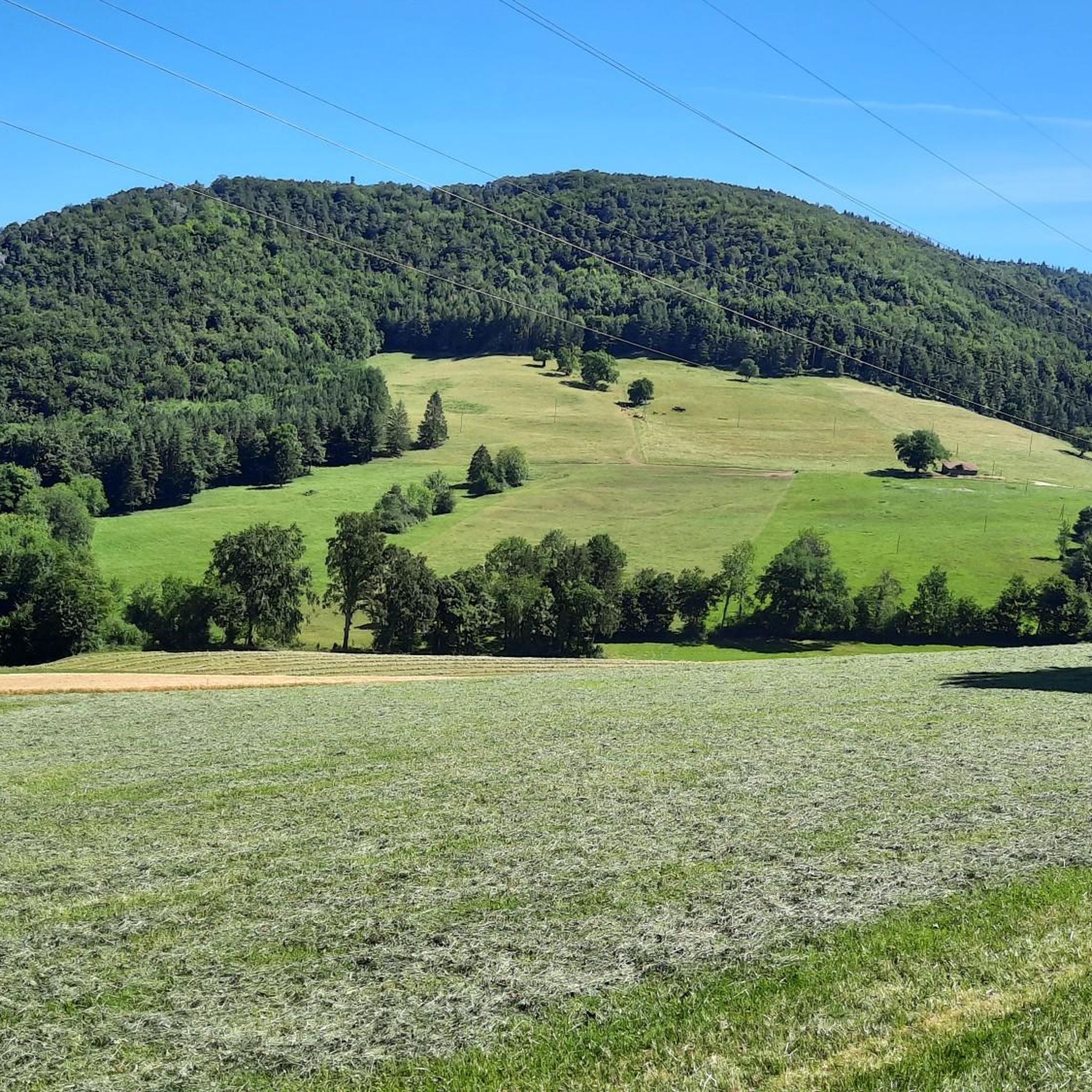
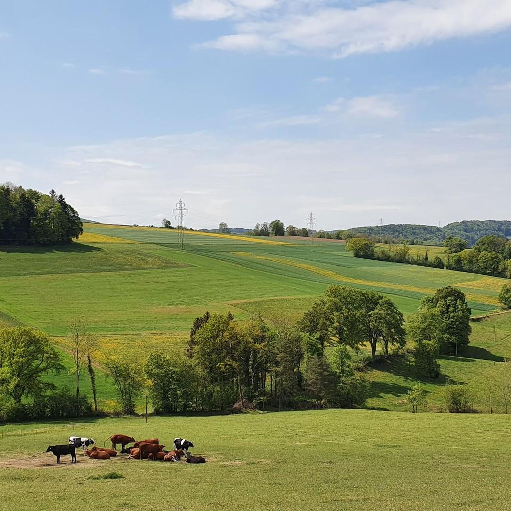
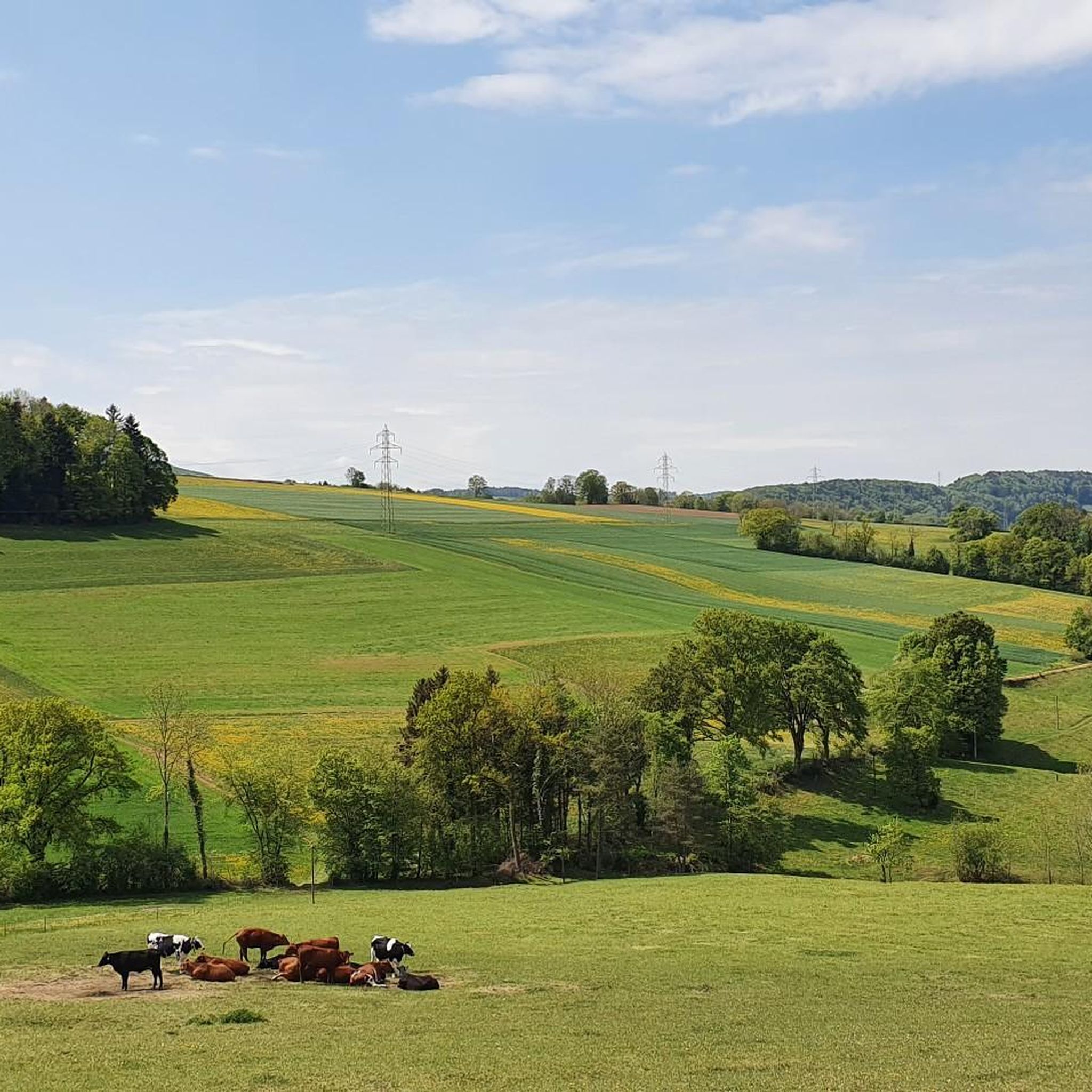
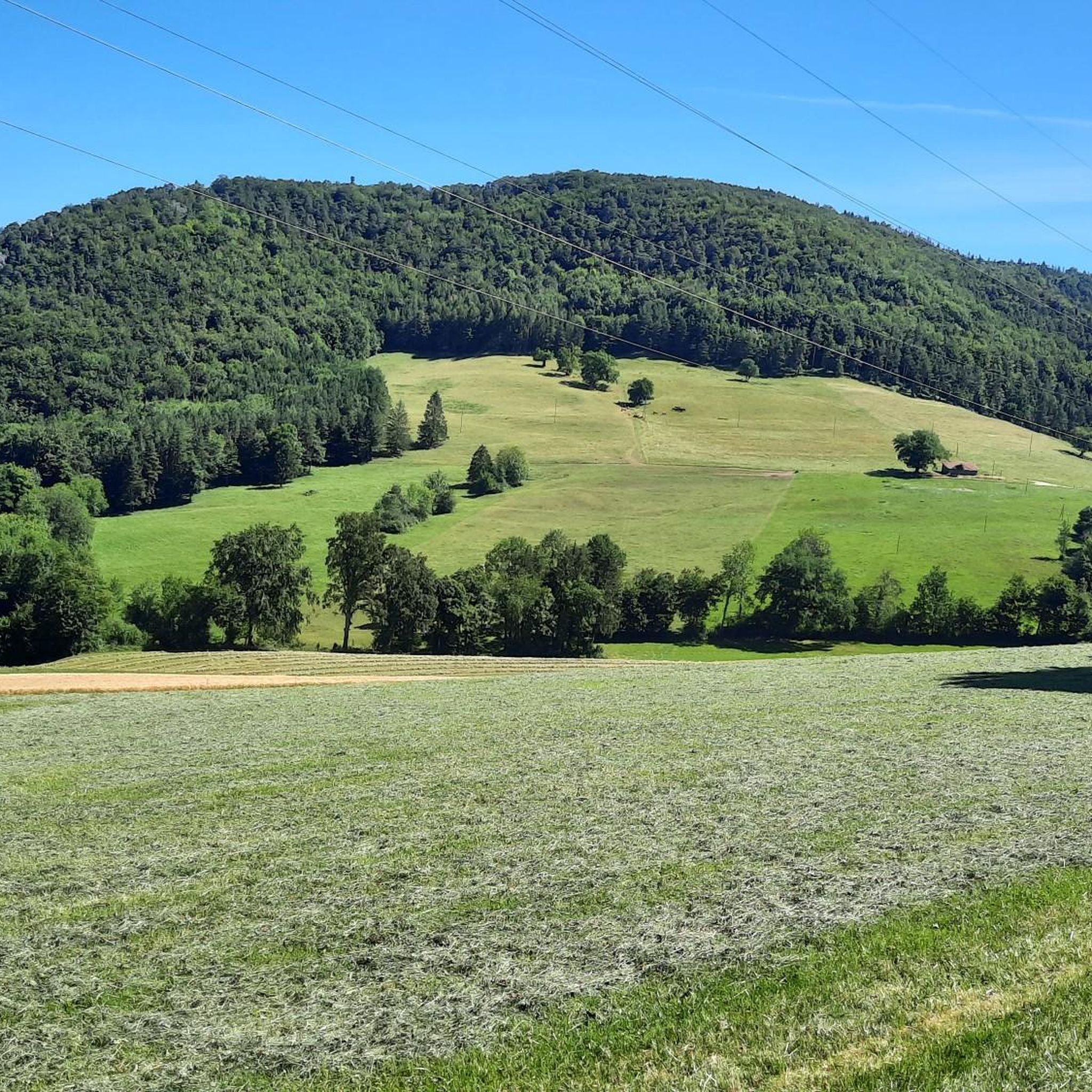
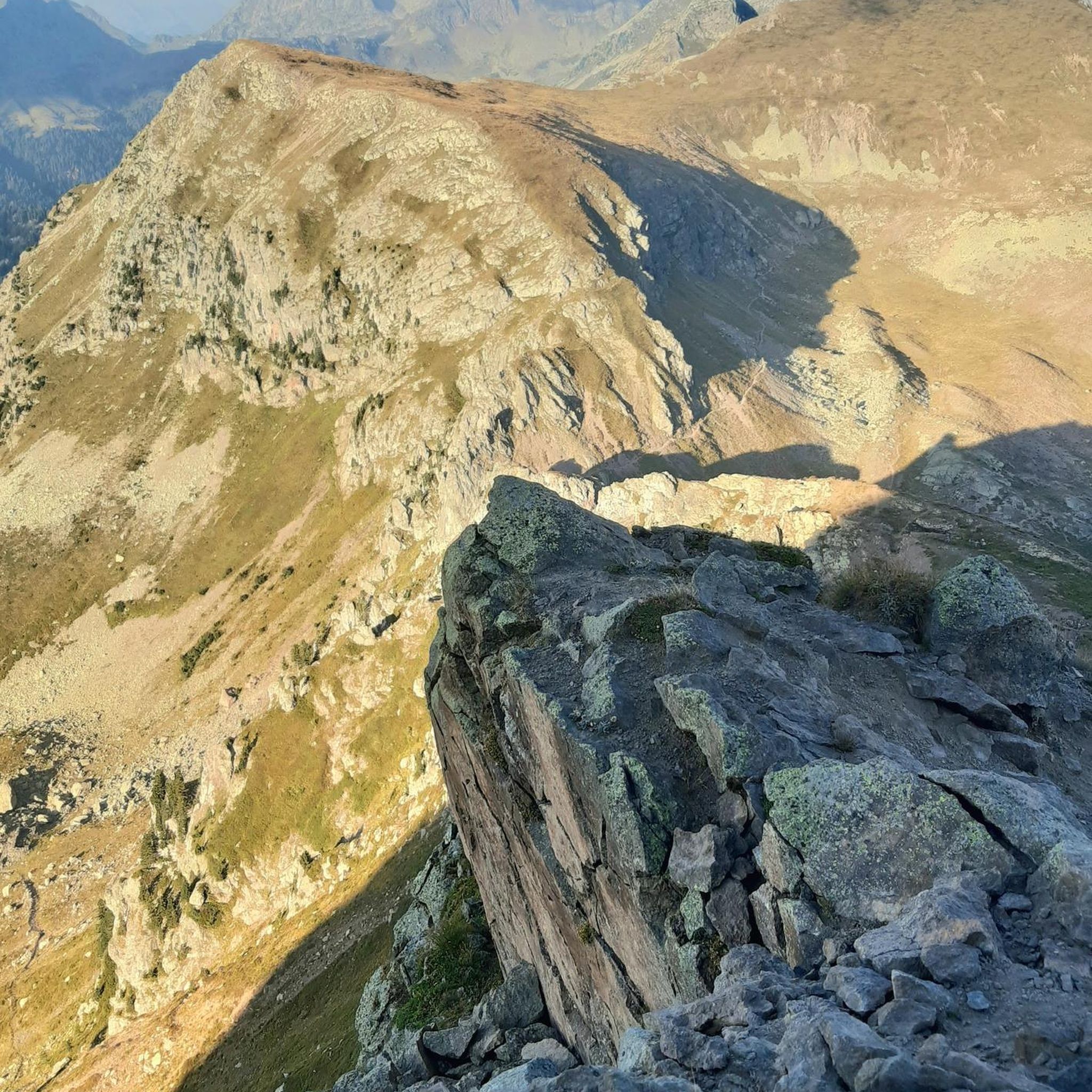
Tips from the Community

A beautiful view. The rest area is also frequently used by pilgrims on the Way of St. James.
2
0


Magnificent point of view but watch out for those who are afraid of heights!
2
0

This ridge is located at around 850 m above sea level and offers a breathtaking view of the Ajoie valley and the Vosges. You can also discover the abandoned fort of Plainbois, which was part of the defense system during the two world wars.
3
0
This ridge is located approximately 850 m above sea level and offers breathtaking views of the Ajoie valley and the Vosges. You can also discover the abandoned fort of Plainbois, which was part of the defense system during the two world wars.
4
0

The Karlisberg offers a wonderful view. However, you have to walk a few meters towards the ridge so that you can enjoy it. The Karlisberg is on the Fringeli-Retemberg route and is just a “passage point” when biking. But the short stop is worth it.
2
0
Brunneberg "summit": At this point you have reached the highest point on the Blue Trail. There is also a memorial from the First World War.
0
0

Great view of the Jura. Bumpy passages with lots of rocks and roots.
0
0
Frequently Asked Questions
What kind of elevated areas and natural features can I explore around Movelier?
The region around Movelier is characterized by rolling hills, extensive forests, and agricultural lands, including mountain pastures. While there are no towering peaks, you'll find numerous elevated areas perfect for scenic hikes and nature walks. Nearly half of Movelier's land is covered by forests, offering tranquil wooded paths and open vistas over pastures.
What are some notable viewpoints in the Movelier region?
Several elevated spots offer excellent views. The Grande Roche Viewpoint, a natural monument, provides breathtaking views of the Ajoie valley and the Vosges from around 850 meters above sea level. Another popular spot is the Remelturm Observation Tower, which stands on the border ridge between Switzerland and France and offers wonderful views over the hills. For a perspective over the city of Delémont, visit the View of Delémont from Le Béridier.
Are there any historical sites on the elevated areas near Movelier?
Yes, some elevated areas around Movelier have historical significance. The Remelturm Observation Tower served as a signal point for national surveys and an observation post during the First World War. Additionally, at Brunneberg: Highest Point, you'll find a memorial from the First World War.
What do visitors enjoy most about the elevated areas around Movelier?
Visitors particularly appreciate the tranquil natural surroundings, the variety of scenic hiking trails through pastures, forests, and orchards, and the numerous viewpoints offering expansive vistas. The region's charm lies in its gentle, rolling landscapes, which are ideal for peaceful nature walks and outdoor exploration.
Are there family-friendly mountain walks around Movelier?
Yes, the Movelier region offers many pleasant walks suitable for families, traversing pastures, forests, and orchards. While specific 'family-friendly' highlights aren't listed, the general terrain of rolling hills and well-maintained trails makes many routes accessible for a family outing. For more options, you can explore the Hiking around Movelier guide, which includes easy routes like the 'Tour panoramique loop from Pleigne'.
What outdoor activities can I do near the elevated areas of Movelier?
Beyond hiking, the Movelier region is excellent for cycling. You can find numerous routes for both road cycling and mountain biking. For road cyclists, explore the Road Cycling Routes around Movelier, which include scenic loops like the 'Sorne Gorge – Grotto of Sainte-Colombe loop'. Mountain bikers can discover trails in the MTB Trails around Movelier guide, such as the 'View of the Stream and Hills – Lake Lucelle loop'.
What is the best time to hike around Movelier?
The region around Movelier is generally pleasant for hiking during spring, summer, and autumn. These seasons offer mild weather, lush greenery, and vibrant colors. While specific seasonal tips aren't provided, the forested and agricultural landscape suggests good conditions for outdoor activities outside of heavy snow periods.
How accessible are the elevated areas around Movelier by public transport or car?
Movelier is part of the Delémont district, which has a broader network of trails. While specific public transport details for trailheads aren't provided, the region is generally well-connected within Switzerland. For those traveling by car, parking is typically available near trail starting points in Swiss municipalities, though it's always advisable to check local signage.
Are there any challenging hiking trails on the elevated areas near Movelier?
While Movelier's terrain is generally characterized by rolling hills, some routes offer more challenge. For instance, the View of Delémont from Le Béridier is categorized as 'challenging' due to its location on an unsecured rock cliff. For more extensive and varied excursions, the broader Delémont district offers a network of 'Mountain Hikes' with varying difficulties. You can find more challenging options in the Hiking around Movelier guide, such as the 'Lucelle Lake – Lake Lucelle loop from Pleigne'.
Can I find places to rest or eat near the hiking routes in Movelier?
The region's hiking trails often traverse agricultural lands and forests. Some hikes may include a stop at a forest cabin, providing a resting point amidst nature. While specific cafes or pubs directly on the trails are not detailed, Movelier and nearby villages offer amenities for visitors. It's recommended to check local listings for restaurants and accommodation in Movelier or the surrounding area.
What is the highest point directly around Movelier?
One of the notable elevated points is Brunneberg: Highest Point, which is considered a 'summit' in the local context. Another significant elevation is Karlisberg (946 m above sea level), which offers a wonderful view and is a popular passage point for bikers.
Most popular routes around Movelier
Most popular attractions around Movelier

Get inspired with the komoot mobile app


Explore more
See even more amazing summits around Movelier with these guides:
