The best hikes from bus stations in Forêt De Bonifatu
4.6
(3144)
23,519
hikers
6
hikes
Bus station hiking trails in Forêt De Bonifatu navigate a diverse landscape characterized by dense Laricio pine forests and a mountainous cirque featuring peaks like Monte Corona. The Figarella River flows through the forest, forming natural pools. This region, situated at altitudes between 300 and 2,000 meters, offers a variety of terrains for hiking.
Best bus station hiking trails in Forêt De Bonifatu
- The most popular bus station hiking route is View of Calenzana – Superb view over two valleys loop from Calenzana, an 11.0 miles (17.8 km) trail that takes 8 hours 54 minutes to complete, offering extensive views over two valleys.
- Another top favourite among local hikers is View of Calenzana – On the GR20 loop from Calenzana, a moderate 2.9 miles (4.7 km) path. This route provides an accessible section of the renowned GR20 trail.
- Local hikers also love the Calenzana – From La Flatta to Saltu loop from Calenzana, a 3.4 miles (5.6 km) trail leading through varied terrain, often completed in about 1 hour 35 minutes.
- Hiking in Forêt De Bonifatu is defined by dense pine forests, river valleys, and mountainous backdrops. The network offers options for different ability levels, from moderate forest paths to more challenging ascents.
- The routes in Forêt De Bonifatu are highly rated by the komoot community with an average score of 4.6 stars from more than 2,700 reviews. More than 21,000 hikers have used komoot to explore Forêt De Bonifatu's varied terrain.
Last updated: July 6, 2026
4.7
(97)
3,596
hikers
17.8km
08:54
1,320m
1,320m
Hard hike. Very good fitness required. Sure-footedness, sturdy shoes and alpine experience required.
4.8
(10)
61
hikers
4.53km
01:58
300m
300m
Moderate hike. Great for any fitness level. Mostly accessible paths. Sure-footedness required.
5.0
(1)
14
hikers
5.56km
01:36
130m
130m
Moderate hike. Great for any fitness level. Mostly accessible paths. Sure-footedness required.
Get access to more routes and recommendations from other explorers.
Sign up for free
Already have an account?
Our route recommendations are based on thousands of hikes, rides, and runs completed by other people on komoot.
Start today with a free account
Your next adventure awaits.
Login or Signup
Popular around Forêt De Bonifatu

Tips from the Community

A great rock formation that can clearly be attributed to an elephant.
0
0

A funny rock formation that resembles an elephant's head.
0
0


The tranquil Corsican town of Calenzana is particularly interesting for hikers as a starting point for several long-distance hiking trails. The most famous – and also the most demanding – is the GR20, but there are other alternatives. For example the “MARE e MONTI” (mountain and sea). Of course, you can find a suitable hiking collection on komoot, for example from Julien Harté, who recommends a north and a south route: https://www.komoot.de/collection/2014935/meer-und-berge-auf-korsika-mare-e-monti-nord https://www.komoot.de/collection/2049376/des-plages-et-des-cretes-mare-e-monti-sud
3
0

Charred tree stumps can also be seen from the Bocca u Corsu, from which you can see Calenzana and whose crest is covered with thistles. The slope on either side burned down a few years ago; only a small strip of trees remains.
1
0
Calenzana is a small nest right in front of the mountains, and - were it not for the GR20 (and one of the Monti a Mare trails) starting/ending here - not of any importance. There are two churches (one closed), a small supermarket, a street with cafes and restaurants, two parking lots (for hikers' cars). There is nothing more to say about the place if it weren't for this story: when the Corsicans rebelled against Genoese rule from 1730 onwards and asked their Austrian/German partners for help, the 500 (or 700?) German soldiers were defeated here, supposedly by the residents of Calenzana throwing beehives down on them and then killing them. The Campo Santo dei Tedeschi tower in front of the Church of St. Restitude is a reminder of this. (Corsica came to France a few years later...)
2
0

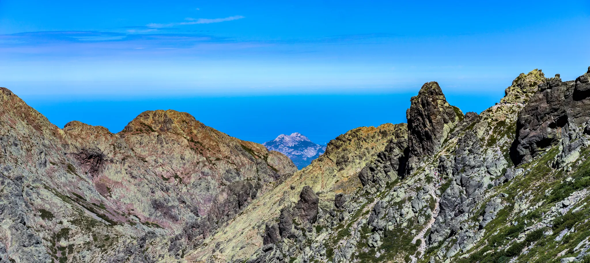
La Bocca à u Saltu is the first pass of the GR 20 from Calenzana. Located at 1,391 meters above sea level, it offers a beautiful view of Calvi on the one hand and Capu Ghievu on the other.
1
0
Calenzana is a village located about 13 kilometers south-east of Calvi in a magnificent mountain landscape. It is the point of departure or arrival of the GR 20 which crosses all of Corsica, as well as other emblematic paths of the island. Apart from hitchhiking, you basically have two ways to reach the village. Either by taxi or with a 30-minute shuttle. All the information here: https://gr20-infos.com/acces/bus/
4
1
Frequently Asked Questions
How many bus station hiking trails are available in Forêt De Bonifatu?
There are 6 dedicated bus station hiking trails in Forêt De Bonifatu, offering convenient access to the region's diverse landscapes directly from public transport stops. These include 4 moderate and 2 difficult routes.
Are there any easy bus-accessible hikes for beginners or families?
While the bus-accessible routes in this guide are rated moderate to difficult, many sections of the Forêt De Bonifatu offer easier paths. For a moderate option that's not too long, consider the View of Calenzana – On the GR20 loop from Calenzana, which is 4.7 km. The forest itself has numerous shaded paths suitable for families, though they might require a short walk from the bus stop to reach.
What kind of natural features can I expect to see along these bus station trails?
The trails accessible from bus stations in Forêt De Bonifatu immerse you in the region's stunning natural beauty. You'll encounter dense Laricio pine forests, providing ample shade and a unique ambiance. Many routes offer views of the surrounding mountainous cirque, including peaks like Monte Corona. The Lamitu Creek is a notable feature, with its refreshing natural pools, perfect for a dip after a hike. You can also experience the vastness of the Bonifatu Forest itself.
Are there any circular routes accessible from bus stops?
Yes, several of the bus-accessible routes in Forêt De Bonifatu are circular, allowing you to start and end at the same point without needing to retrace your steps. Examples include the View of Calenzana – On the GR20 loop from Calenzana and the Calenzana – View of Calenzana loop from Calenzana.
What are the best trails for experiencing the mountainous views?
For impressive mountainous vistas, consider the more challenging routes. The View of Calenzana – Superb view over two valleys loop from Calenzana offers extensive views over the valleys and surrounding peaks. You can also find a dedicated Panorama of the Bonifatu valley highlight along some trails.
Can I find places to eat or stay near the bus station trailheads?
Yes, the Forêt De Bonifatu area has some amenities. The Forest Inn (Auberge de la Forêt) is a well-known establishment within the forest, offering food and accommodation. Depending on the specific bus stop, you might find other small cafes or guesthouses in nearby villages like Calenzana.
What do other hikers enjoy most about the bus-accessible trails in Forêt De Bonifatu?
The komoot community highly rates hiking in Forêt De Bonifatu, with an average score of 4.56 stars from over 2,700 ratings. Reviewers often praise the refreshing natural pools, the shade provided by the ancient Laricio pine forests, and the dramatic mountainous backdrops. The convenience of accessing these trails directly from bus stops is also a frequently highlighted benefit.
Are there any trails that connect to long-distance routes like the GR20?
Yes, Forêt De Bonifatu serves as an access point to some of Corsica's renowned long-distance trails. The View of Calenzana – On the GR20 loop from Calenzana is a moderate route that specifically incorporates a section of the famous GR20, offering a taste of this iconic trek.
What is the best time of year to hike these bus-accessible trails?
The best time to hike in Forêt De Bonifatu is generally from spring to autumn. Spring offers lush greenery and pleasant temperatures, while autumn provides vibrant colors. Summer is popular, especially for enjoying the natural pools, but trails can be busy and temperatures higher. Winter hiking is possible but requires appropriate gear and awareness of potential snow or ice at higher elevations.
Are there any specific points of interest or landmarks to look out for?
Beyond the natural beauty, you can look for specific points of interest. The Bocca di Bonassa is a mountain pass that offers scenic views. The Track between Calenzana and Bonifatu is also a notable feature, part of the historical routes through the forest.
What is the longest bus-accessible hike in this guide?
The longest bus-accessible hike featured in this guide is the View of Calenzana – Superb view over two valleys loop from Calenzana, which spans 17.7 kilometers and is rated as difficult.
Most popular routes in Forêt De Bonifatu
Most popular attractions in Forêt De Bonifatu

Get inspired with the komoot mobile app


Explore more
Browse the best Hikes in other regions.
