The best traffic-free bike rides in Hohe Wart
4.5
(603)
10,007
riders
9
rides
No traffic road cycling routes in Hohe Wart traverse a landscape characterized by diverse forest communities, open fields, and tranquil waters. The region offers a mix of accessible paths and more challenging sections, with expansive hedge and grassland areas. Cyclists can expect varied terrain, from gentle rolling hills to more pronounced ascents, often providing views over surrounding areas like the Spessart Hills.
Best no traffic road cycling routes in Hohe Wart
- The most popular no traffic road cycling route is…
Last updated: July 6, 2026
4.3
(4)
23
riders
40.9km
01:37
140m
140m
Easy road ride. Great for any fitness level. Mostly well-paved surfaces and easy to ride.
3.0
(1)
15
riders
31.3km
01:14
130m
130m
Easy road ride. Great for any fitness level. Mostly well-paved surfaces and easy to ride.

Sign up for free
5.0
(1)
9
riders
18.3km
01:09
150m
150m
Moderate road ride. Great for any fitness level. Some segments of this route may be unpaved and difficult to ride.
7
riders
23.3km
01:06
290m
290m
Easy road ride. Great for any fitness level. Mostly well-paved surfaces and easy to ride.
7
riders
Moderate road ride. Good fitness required. Some segments of this route may be unpaved and difficult to ride.
Get access to more routes and recommendations from other explorers.
Sign up for free
Already have an account?
Our route recommendations are based on thousands of hikes, rides, and runs completed by other people on komoot.
Start today with a free account
Your next adventure awaits.
Login or Signup
Popular around Hohe Wart
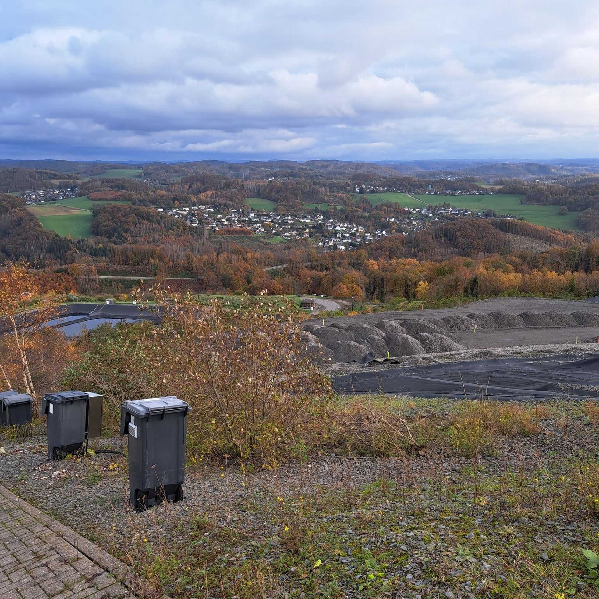
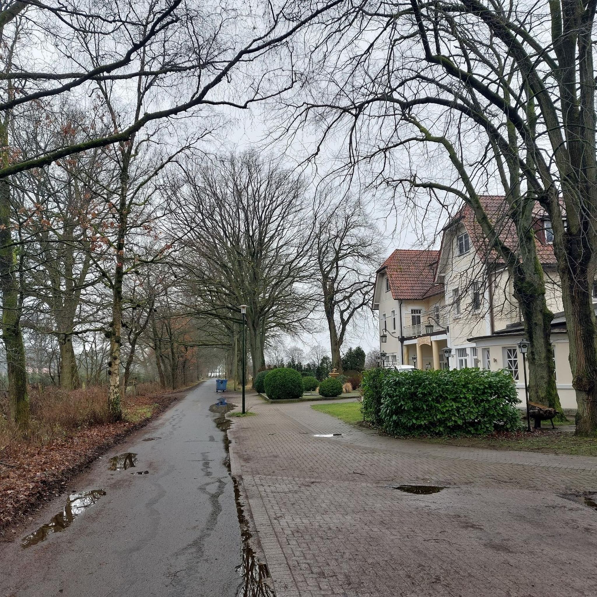
Tips from the Community

Town exit in the direction of Aschaffenburg.
0
0
Hösbach Sand station.
0
0

Nice large, free parking lot in front of it. Plenty of seating and rest areas all around.
7
0

Something truly beautiful and meaningful has been created here by "DB", great.
2
0
The station building at Hösbach station was not built at the same time as the Hösbach station itself. In the early years, the trains of the "Bavarian Ludwig Western Railway" stopped, so to speak, in the middle of an open field.
2
0
From the train station in Hösbach, you can start or end various tours, whether on foot or by bicycle.
1
0
Beavers are reshaping the landscape.
1
0
Those fur-clad folks really let loose here… impressive dam… decent area
4
0
Frequently Asked Questions
How many no-traffic road cycling routes are available in Hohe Wart?
Hohe Wart offers a selection of 8 dedicated no-traffic road cycling routes. These routes are designed to provide peaceful rides away from busy roads, utilizing quiet country lanes and dedicated cycle paths.
What kind of terrain can I expect on the no-traffic road cycling routes in Hohe Wart?
The terrain in Hohe Wart for no-traffic road cycling is varied. While some routes feature gentle ascents and descents, such as the Roland-Schwing Bridge – Niedernberger Lake loop from Leidersbach with minimal elevation gain, others like the View of the Spessart Hills – Historic Center of Mönchberg loop from Hausen include more significant climbs, offering a good mix for different fitness levels. The region's landscape includes diverse forest communities, open fields, and some hilly areas, especially in parts of the Hohe Mark Nature Park region.
Are there any easy no-traffic road cycling routes suitable for beginners in Hohe Wart?
Yes, Hohe Wart has 4 easy no-traffic road cycling routes perfect for beginners or those seeking a more relaxed ride. An example is the Roland-Schwing Bridge – Niedernberger Lake loop from Leidersbach, which is classified as easy and covers a distance of approximately 41 km with minimal elevation changes.
What are the best times of year to enjoy no-traffic road cycling in Hohe Wart?
The best times for no-traffic road cycling in Hohe Wart are generally spring, summer, and early autumn. During these seasons, the weather is typically mild, and the natural landscapes, including diverse forest communities and open fields, are at their most vibrant. Some areas, like the Hohe Wand Nature Park, offer access via a panorama road, which is best enjoyed when free of snow and ice.
Can I find challenging no-traffic road cycling routes in Hohe Wart?
Absolutely. Hohe Wart offers 4 moderate no-traffic road cycling routes for those looking for more of a challenge. Routes like the View of the Spessart Hills – Historic Center of Mönchberg loop from Hausen feature over 500 meters of elevation gain, providing a good workout amidst scenic views. The Steep climb! – Ober dem Fuchs – Spur loop from Gailbach is another moderate option with significant climbing.
What kind of natural features or viewpoints can I expect along these routes?
The no-traffic routes in Hohe Wart offer a variety of natural features and viewpoints. You can expect tranquil standing and flowing waters, expansive hedge and grassland areas, and diverse forest communities. Higher points in areas like Hohe Warte bei Gießen provide panoramic views over Gießen and towards the Gleiberger Land. The Elbertsbrünnchen Spring – The Ruhstock Resting Place loop from Gailbach is an example of a route that takes you through such natural settings.
Are there any interesting landmarks or attractions near the no-traffic road cycling routes?
Yes, several interesting landmarks and attractions are located near the no-traffic road cycling routes in Hohe Wart. You can visit the Hohewart-Haus (Hohe Warte), explore the Forest Trail in Naturpark Spessart, or discover the Historic Boundary Stones Trail in Naturpark Spessart. The Weißes Bild wayside shrine and Mushroom Shelter also offers a unique point of interest.
What do other road cyclists enjoy most about the no-traffic routes in Hohe Wart?
The no-traffic road cycling routes in Hohe Wart are highly rated by the komoot community, with an average score of 4.56 stars. Reviewers often praise the peacefulness of the routes, the beautiful natural surroundings, and the opportunity to cycle away from vehicle traffic. The varied terrain, from gentle paths to challenging climbs, is also frequently highlighted as a positive aspect.
Are there any circular no-traffic road cycling routes in Hohe Wart?
Yes, all the no-traffic road cycling routes listed in this guide are circular, allowing you to start and end your ride at the same point. This makes planning your trip more convenient. For instance, the View of the Spessart Hills – Eichelsbach Village loop from Hausen is a great example of a scenic circular route.
Is public transport an option for accessing the no-traffic road cycling routes in Hohe Wart?
While the guide focuses on the routes themselves, accessing Hohe Wart by public transport depends on the specific starting point of your chosen route. Regions like Hohe Warte bei Gießen and Hohe Mark Nature Park are generally well-connected, but it's advisable to check local public transport schedules for specific stations or bus stops near your desired route's starting point.
Are there specific parking areas for these no-traffic road cycling routes?
Parking availability varies by route starting point. Many routes, being loops, often begin in or near villages or designated parking areas. For example, routes starting 'from Leidersbach' or 'from Gailbach' imply parking options in those localities. It's recommended to check the specific route details on komoot for information on parking at the trailhead.
Most popular routes in Hohe Wart
Most popular attractions in Hohe Wart

Get inspired with the komoot mobile app


Explore more
Browse the best Road cycling routes in other regions.
