The best family-friendly hikes and walks in Camels Hump State Forest
4.5
(6)
90
hikers
4
hikes
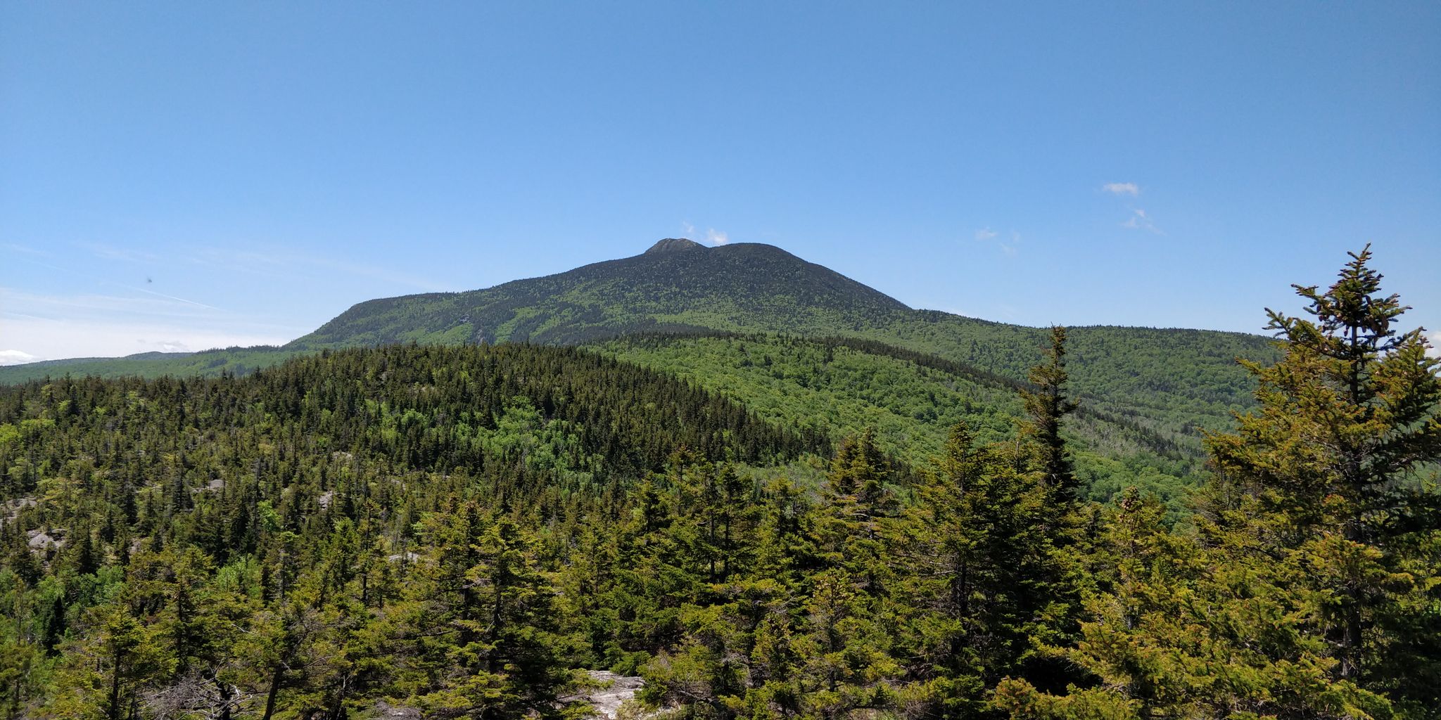
Family friendly hiking trails in Camels Hump State Forest are situated within the Green Mountains, covering 33 square miles. The landscape is characterized by diverse forests of birch, maple, and red spruce, alongside protected waterways and mountain streams. The region's centerpiece is Camel's Hump Mountain, rising to 4,083 feet, known for its distinctive double-humped profile. The trail network includes varied terrain, from lower elevation paths to routes traversing rocky sections and alpine tundra ecosystems.
Best family friendly hiking trails in…
Last updated: July 6, 2026
12
hikers
16.5km
05:21
690m
680m
Hard hike. Very good fitness required. Easily-accessible paths. Suitable for all skill levels.
2
hikers
7.52km
02:38
580m
80m
Moderate hike. Good fitness required. Easily-accessible paths. Suitable for all skill levels.

Sign up for free
1
hikers
2.01km
00:47
210m
10m
Easy hike. Great for any fitness level. Easily-accessible paths. Suitable for all skill levels.
5
hikers
8.46km
02:51
390m
390m
Moderate hike. Good fitness required. Easily-accessible paths. Suitable for all skill levels.
Our route recommendations are based on thousands of hikes, rides, and runs completed by other people on komoot.
Start today with a free account
Your next adventure awaits.
Login or Signup
Popular around Camels Hump State Forest
Other adventures in Camels Hump State Forest

Tips from the Community

Mount Abraham is a 4,006-foot summit that offers expansive views. From the top, you can spot Mount Ellen and Lake Champlain off in the distance. Being one of the Vermont 4,000-foot peaks, this mountain sees a fair bit of traffic.
1
0

Located in the Green Mountains of Vermont, Appalachian Gap is a popular spot for cyclists, motorcyclists, and hikers. The views across the gap of the Champlain Valley & Adirondack Mountains are excellent.
0
0

The Appalachian Gap marks the divide between two different drainage systems, although both eventually feed into Lake Champlain. In more practical terms, this gap is a wonderfully easy-access spot to enjoy views of Lake Champlain, the Champlain Valley, and the Adirondack Mountains.
1
0
Although it's a skiing destination in winter, Stark Mountain (or General Stark Mountain) is a great hiking destination in the summer. It's on the Vermont Long Trail and is part of the famed Monroe Skyline, a ridgewalk that offers stunning views in all directions.
1
0
4,049-foot (1,234 m) high Mount Ellen is one of just a few Vermont peaks that reach over the 4,000-foot mark. It's part of the spectacular Monroe Skyline, which also includes Mount Abraham to the south. The two peaks are connected by the Long Trail.
1
0
You can get some great views out over the surrounding mountains from this 3,812-foot (1,162 m) peak. There's a small hut that marks the top of the ski lift from Sugarbush Ski Resort down below. During the summer you can hike up from Sugarbush, or approach from the north or south via the Long Trail. If you hike up from Sugarbush, you'll be sharing the trail with bicycles and 4x4 vehicles.
1
0
At 3,975 feet (1,212 m), Lincoln Peak is arguably the centerpiece of Sugarbush Ski Resort, with great views over the surrounding mountains. There are two different ways to reach the peak during the summer: Hiking up from the base of Sugarbush, which is free to do in the summer (but watch for bike and 4x4 traffic on the same trail); or via the Long Trail.
1
0

From this summit, you have views of both Mount Ellen, located further north but also on Lake Champlain.
0
1
Frequently Asked Questions
How many family-friendly hiking trails are available in Camels Hump State Forest?
Our guide features four carefully selected family-friendly hiking routes in Camels Hump State Forest. These range from easy strolls to more moderate adventures, ensuring there's something for every family's comfort level.
What kind of terrain can we expect on family hikes in Camels Hump State Forest?
The trails in Camels Hump State Forest offer a diverse experience. You'll find paths traversing dense birch, maple, and red spruce forests, with some routes featuring gentle inclines and others with more substantial elevation gain and rocky sections, especially as you approach higher elevations. Many family-friendly options focus on more gradual and well-maintained paths.
Are there any easy, short routes suitable for families with young children?
Yes, for a truly easy and accessible option, consider the Appalachian Gap to Sunnyside Warming Hut via Long Trail. This route is approximately 2 kilometers long with minimal elevation gain, making it perfect for little legs. The region also offers the 0.8-mile Camel's Hump View Trail, which is universally accessible and provides excellent views of the mountain from a lower elevation.
Can we bring our dog on family hikes in Camels Hump State Forest?
Generally, dogs are welcome on trails in Camels Hump State Forest, but they must be kept on a leash at all times to protect wildlife and ensure the safety and enjoyment of all visitors. Always remember to pack out any waste.
What are the best times of year for family hiking in Camels Hump State Forest?
Spring, summer, and fall are all wonderful for family hiking. Spring brings lush greenery, while summer offers warm weather perfect for exploring the diverse forests and mountain streams. Fall is particularly spectacular with vibrant foliage. Winter hiking is also possible, but requires appropriate gear and caution due to snow and ice.
Are there any circular routes suitable for families?
While many trails in the region are out-and-back or connect to longer point-to-point sections of the Long Trail, you can often create shorter loop experiences by combining different trail segments. For example, the Long Trail: Appalachian Gap to Stark Mountain offers a moderate out-and-back option that can be enjoyed as a shorter segment for families, with the option to turn back at any point.
Where can we park when visiting Camels Hump State Forest for family hikes?
Parking is typically available at designated trailheads, such as those for the Monroe Trail (Duxbury side) and Burrows Trail (Huntington side), as well as at Appalachian Gap. These areas usually have clear signage. It's always a good idea to arrive early, especially on weekends, as spots can fill up quickly.
Is public transport available to reach the trailheads in Camels Hump State Forest?
Public transport options directly to the more remote trailheads within Camels Hump State Forest are limited. Most visitors arrive by car. It's advisable to check local transit services for routes to nearby towns, from which you might need to arrange a taxi or ride-share to reach specific trail access points.
Do we need permits for family hikes in Camels Hump State Forest?
Generally, no specific permits are required for day hiking on the trails within Camels Hump State Forest. However, it's always good practice to check the official Vermont State Parks website for any updated regulations or specific requirements, especially if planning an overnight trip or visiting during peak seasons.
What do other hikers enjoy most about family hiking in Camels Hump State Forest?
The area is highly rated by the komoot community, with an average score of 4.5 stars. Reviewers often praise the stunning panoramic views from higher elevations, the peaceful forest environments, and the well-maintained trails that make for an enjoyable family outing. The distinctive profile of Camel's Hump Mountain itself is a frequent highlight.
Are there any interesting landmarks or unique natural features to look out for on family trails?
Absolutely! The most iconic feature is the majestic Camel's Hump Mountain with its distinctive double-humped profile. The uppermost regions feature a rare and fragile alpine tundra ecosystem. You'll also encounter diverse forests, protected waterways, and mountain streams. For those interested in history, remnants of a B-24 Liberator bomber crash and a cemetery can be found near the Monroe Trail, though these might be on more challenging routes.
Are there any trails with less elevation gain for families looking for a gentler experience?
Yes, for a gentler experience, consider the Appalachian Gap to Sunnyside Warming Hut via Long Trail, which has a relatively low elevation gain. Additionally, the 0.8-mile Camel's Hump View Trail is universally accessible and designed for a less strenuous experience, offering great views without significant climbing.
Most popular routes in Camels Hump State Forest

Get inspired with the komoot mobile app


Explore more
Browse the best Hikes in other regions.
