The best gravel rides in Apache-Sitgreaves National Forests
27
riders
5
rides
Gravel biking in Apache-Sitgreaves National Forests offers an expansive and diverse landscape for outdoor activities. The region features extensive trail systems and notable natural features, including the Mogollon Rim and the White Mountains. Terrain varies significantly, with elevations ranging from 3,500 feet to nearly 11,500 feet, providing options from less technical dirt and gravel roads to challenging ascents. These forests encompass ponderosa pine groves, cold-water lakes, and numerous streams, making them suitable for varied gravel biking experiences.
Best gravel bike trails in Apache-Sitgreaves National Forests
- The most popular gravel bike trail is Little Brushy loop from Pinetop Country Club, a 23.2 miles (37.3 km) trail that takes 2 hours 49 minutes to complete. This moderate route navigates through the forest landscape.
- Another top favourite among local gravel bikers is Little Brushy loop from Nancy Tanks, a difficult 34.7 miles (55.9 km) path. This route features significant elevation changes within the forest environment.
- Local gravel bikers also love the Sitgreaves National Forest – Los Burros Campground loop from Panorama Trailhead Parking, a 82.5 miles (132.8 km) trail leading through the Sitgreaves National Forest, often completed in about 10 hours 34 minutes.
- Gravel biking in Apache-Sitgreaves National Forests is defined by extensive forest service roads, ponderosa pine forests, and varied terrain including the Mogollon Rim. The network offers options for different ability levels, from moderate rides to more challenging routes with substantial elevation gain.
- The guide includes highly-rated routes that showcase the best of the region's landscape. More than 20 gravel bikers have used komoot to explore Apache-Sitgreaves National Forests's varied terrain.
Last updated: October 17, 2026
11
riders
37.3km
02:49
260m
260m
Moderate gravel ride. Good fitness required. Mostly paved surfaces. Suitable for all skill levels.
6
riders
55.9km
04:24
470m
470m
Hard gravel ride. Very good fitness required. Mostly paved surfaces. Suitable for all skill levels.

5
riders
Hard gravel ride. Very good fitness required. Mostly paved surfaces. Suitable for all skill levels.
3
riders
36.5km
02:35
220m
220m
Moderate gravel ride. Good fitness required. Mostly paved surfaces. Suitable for all skill levels.
2
riders
46.3km
03:10
330m
330m
Moderate gravel ride. Good fitness required. Mostly paved surfaces. Suitable for all skill levels.
Our route recommendations are based on thousands of hikes, rides, and runs completed by other people on komoot.
Start today with a free account
Your next adventure awaits.
Popular around Apache-Sitgreaves National Forests

Grand Enchantment Trail — Slot canyons, spruce peaks & desert solitude

Bikepack in America's southwest – deserts, cacti and Anasazi culture
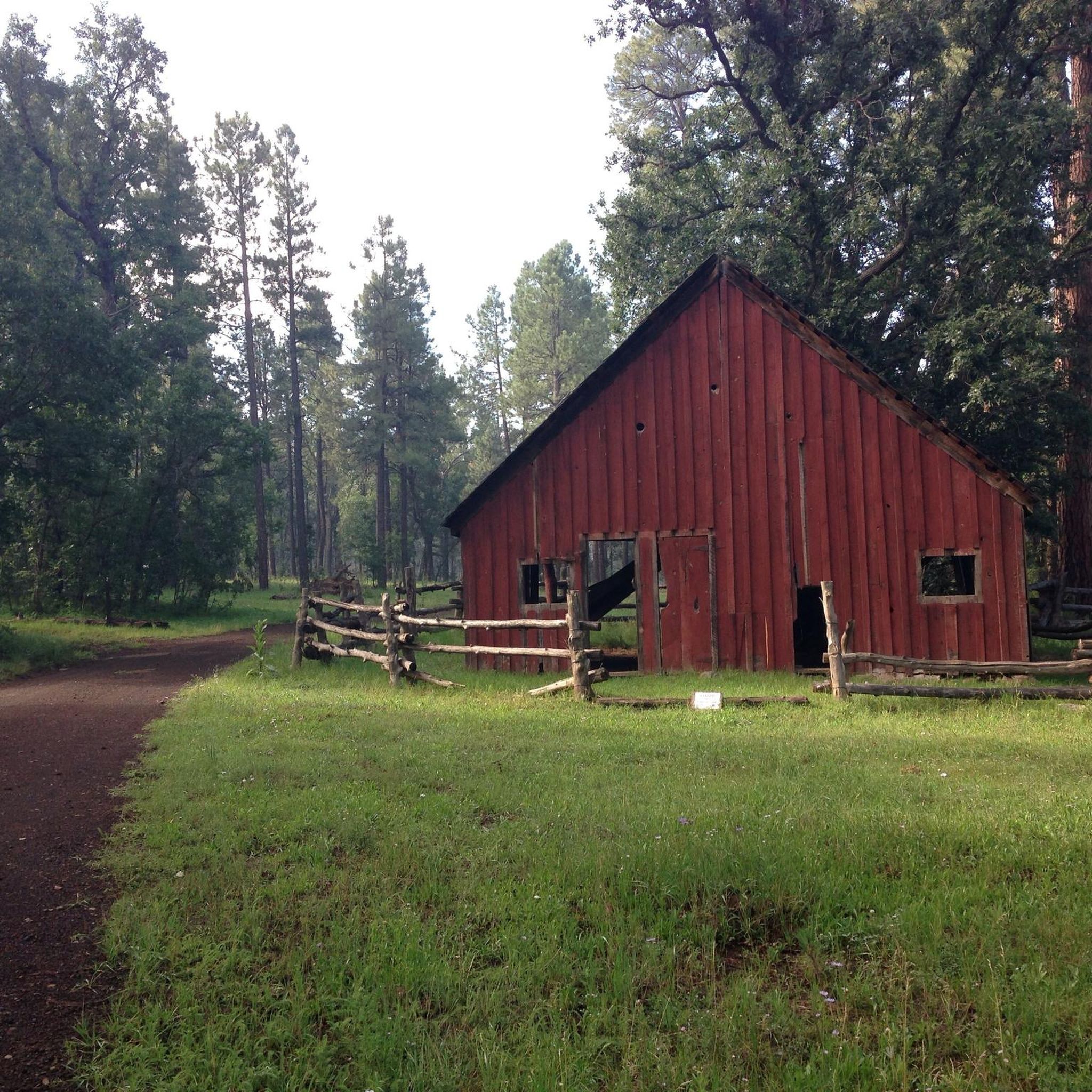
Hiking in Apache-Sitgreaves National Forests
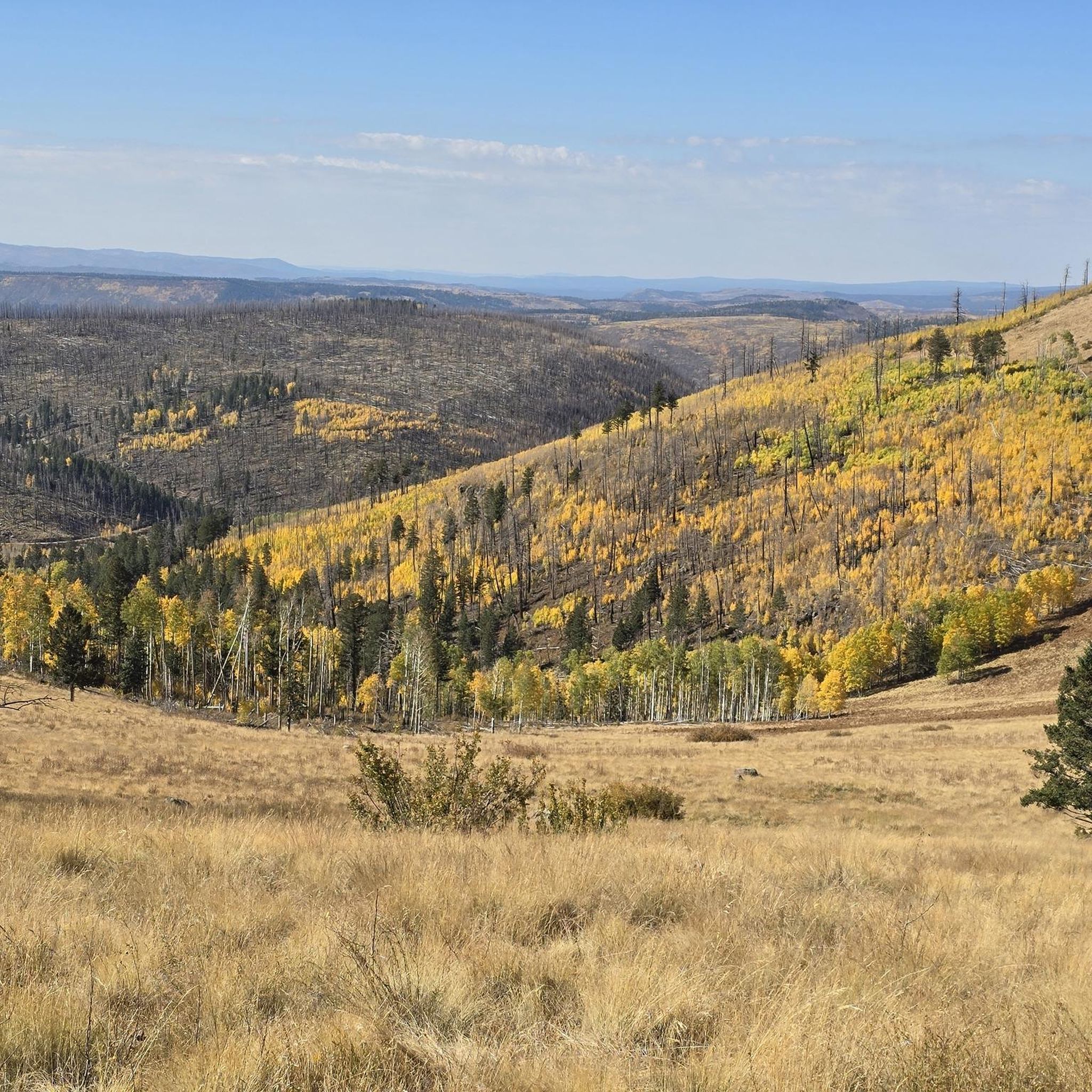
MTB Trails in Apache-Sitgreaves National Forests
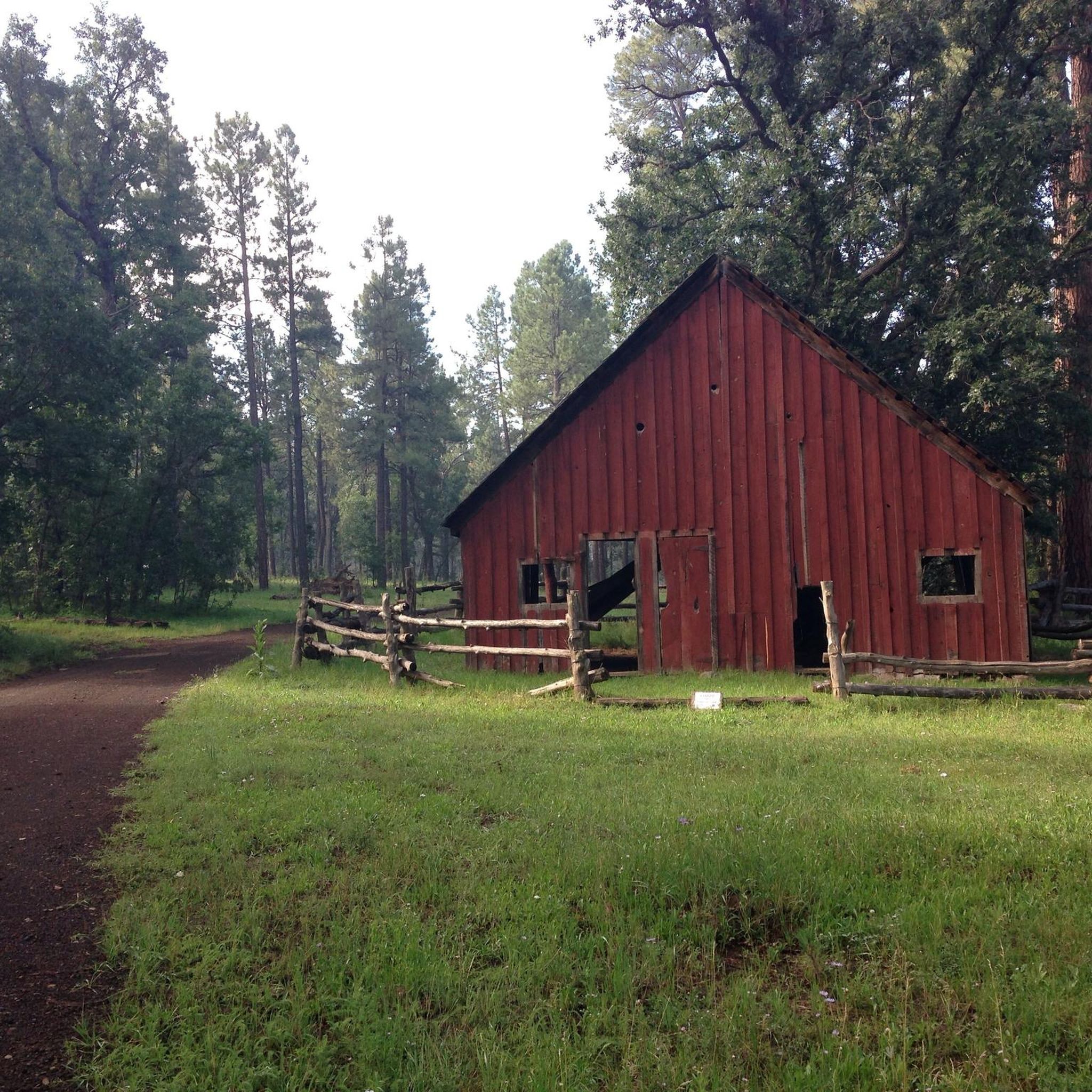
Cycling in Apache-Sitgreaves National Forests
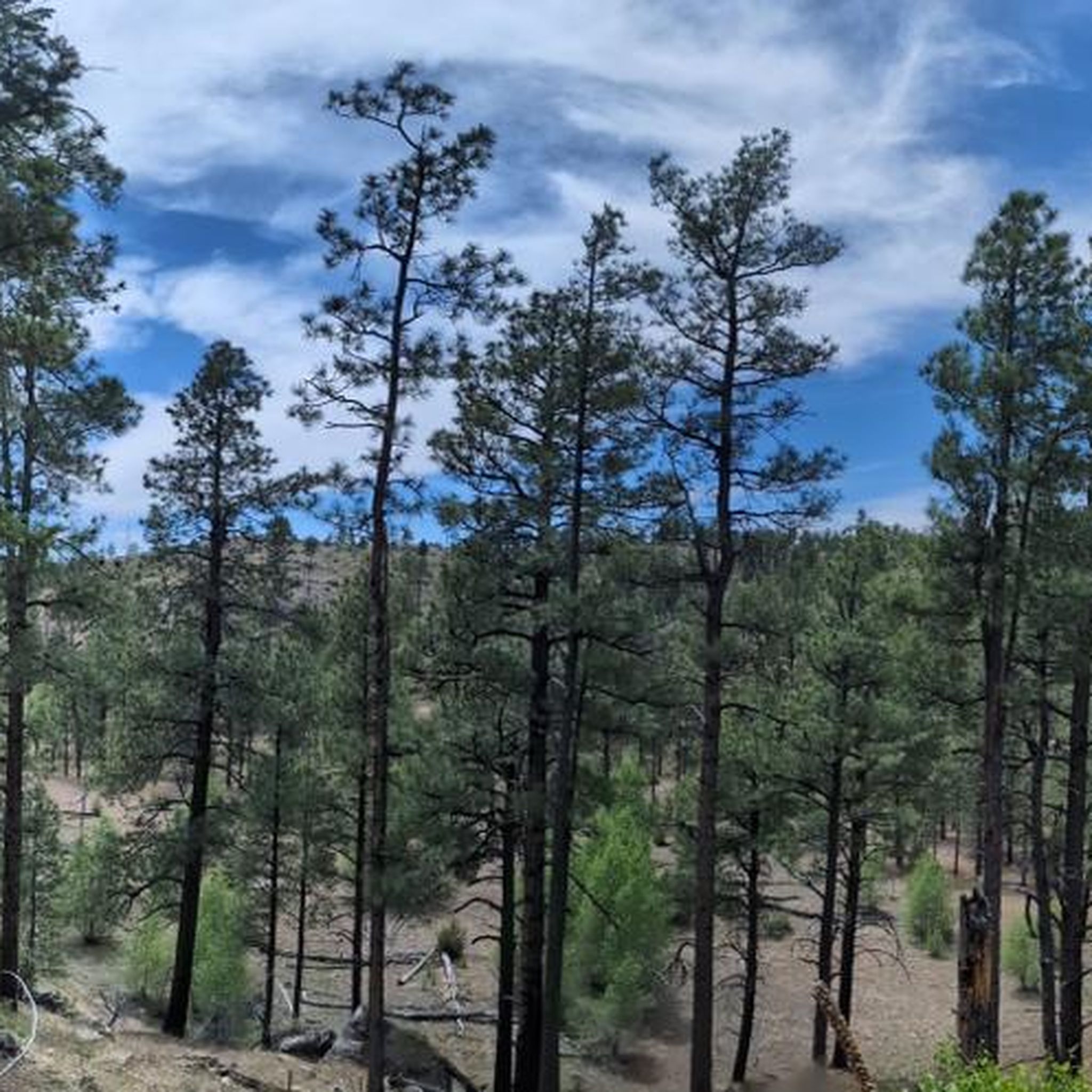
Running Trails in Apache-Sitgreaves National Forests
Other adventures in Apache-Sitgreaves National Forests


Tips from the Community

Sitgreaves National Forest is a vast and diverse area characterized by numerous mountains and lakes. The region offers a tranquil and largely secluded environment, providing ample campgrounds for those looking to extend their exploration and immerse themselves in the natural beauty of the surroundings.
0
0
Situated on the edge of a picturesque meadow with scattered aspen trees, this campground offers a stunning display of fall colors when the leaves change. Once a Forest Service Ranger Station, remnants of the old structures can still be seen in the area.
0
0

There are a bunch of singletrack trails crossing the gravel forest road here. You can keep on the service road if you want to go fast, but if you want fun, flowy singletrack trails, then turn onto of the side trails. There aren't a ton of hills here, so you aren't signing up for anything you'll regret if you turn off of the road.
0
0

Slow down and enjoy your ride, maybe have a small picnic!
1
0
Frequently Asked Questions
How many gravel bike trails are available in Apache-Sitgreaves National Forests?
There are 6 gravel biking routes detailed in this guide for the Apache-Sitgreaves National Forests. These routes cover a range of distances and difficulties, providing options for various skill levels.
Are there any easy gravel bike routes for beginners or families?
While many routes in the Apache-Sitgreaves National Forests offer a moderate challenge, the region's extensive network of forest service roads and less-used logging roads means there are plenty of less technical sections suitable for beginners. For a moderate option that's not overly long, consider the Little Brushy loop from Pinetop Country Club, which covers about 37 km with manageable elevation.
What are some longer gravel biking routes in the area?
For a significant challenge, the Sitgreaves National Forest – Los Burros Campground loop from Panorama Trailhead Parking is a demanding route spanning over 132 km with substantial elevation gain, offering a full day or multi-day adventure through diverse terrain.
Are there any circular gravel bike routes?
Yes, many of the gravel routes in Apache-Sitgreaves National Forests are designed as loops. For example, the Old Scott Tank – Hansen Tank loop from Torreon Golf Course offers a moderate 34 km circular ride, perfect for exploring the forest without retracing your steps.
What kind of wildlife might I encounter while gravel biking?
The diverse habitats of the Apache-Sitgreaves National Forests provide excellent opportunities for wildlife viewing. You might spot elk, deer, black bears, bighorn sheep, wild horses, antelope, and various birds of prey like hawks. Some trails are specifically located in 'quiet' zones to protect wildlife.
What is the best season for gravel biking in Apache-Sitgreaves National Forests?
The varied elevation, ranging from 3,500 feet to nearly 11,500 feet, means conditions can differ greatly. Generally, spring and fall offer pleasant temperatures for riding across most elevations. Summer can be hot in lower areas but cooler in the higher White Mountains. Winter riding is possible, especially at lower elevations, but higher routes may be snow-covered.
Are there any challenging routes for experienced gravel bikers?
Absolutely. The Apache-Sitgreaves National Forests offer routes with significant elevation gains and longer distances for experienced riders. The Little Brushy loop from Nancy Tanks is a difficult 55 km route with considerable climbing, providing a rewarding challenge.
What interesting natural features or landmarks can I see along the trails?
The forests are rich in natural beauty. You can explore the dramatic Mogollon Rim, offering breathtaking views. Many routes pass by picturesque lakes and streams, such as Aker Lake, known for fishing. You might also encounter sections of the Thompson Trail #629, which follows old railroad tracks.
Are there any routes that pass by lakes or water features?
Yes, the forests are home to numerous lakes and tanks. The Turkey Tank – Brushy Flat Tank loop from Pinetop Country Club is a moderate 37 km route that takes you past several water features, offering scenic views and potential wildlife spotting opportunities.
Where can I park to access gravel biking trails?
Many routes, particularly those starting near towns or popular recreational areas, offer designated parking. For example, the Sitgreaves National Forest – Los Burros Campground loop starts from Panorama Trailhead Parking, providing convenient access. Look for trailheads or forest service road access points, often near campgrounds or smaller settlements like Alpine.
What should I bring for a gravel bike ride in Apache-Sitgreaves National Forests?
Given the remote nature of some areas, it's essential to be self-sufficient. Always carry plenty of water, especially during warmer months, as sources can be scarce. A repair kit, spare tubes, navigation tools (like a GPS device or komoot app), and appropriate layers for changing weather conditions are highly recommended. Bear spray is also advisable in some areas.
Most popular routes in Apache-Sitgreaves National Forests
Most popular attractions in Apache-Sitgreaves National Forests

Get inspired with the komoot mobile app


