Attractions and Places To See around Area E (Saint Mary/Skookumchuck) - Top 3
Attractions and places to see around Area E (Saint Mary/Skookumchuck) are primarily located in the Kootenay region of British Columbia, offering a mix of natural features and challenging trails. The area is characterized by its rivers, waterfalls, and mountain passes, providing diverse outdoor experiences. Visitors can explore rugged terrain, enjoy scenic viewpoints, and discover natural monuments within this part of British Columbia.
Best attractions and places to see around Area E (Saint Mary/Skookumchuck)
- The most popular attractions is View of…
Last updated: October 16, 2026
Gray Creek Pass
Highlight (Segment) • Mountain Pass
Tip by

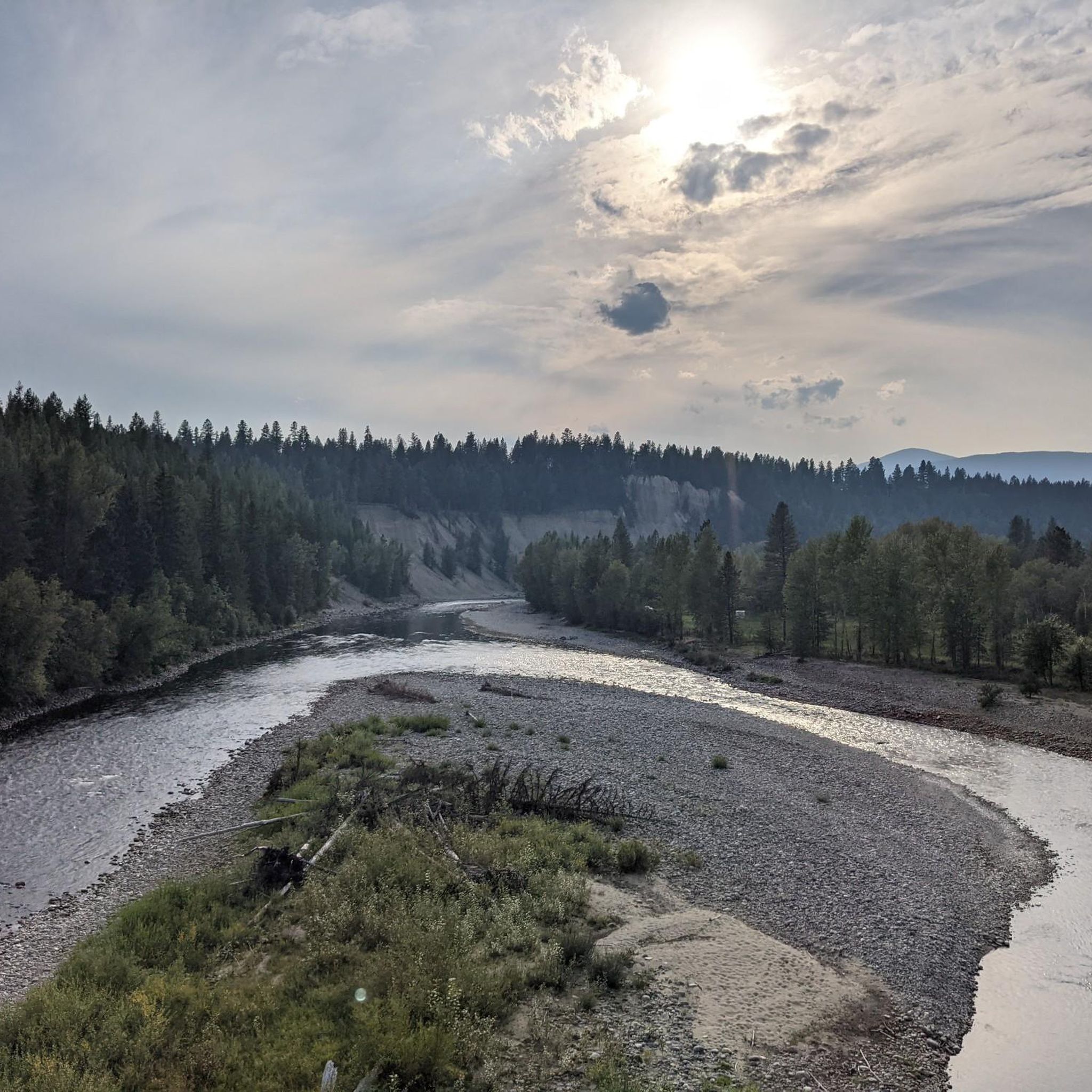
View of St. Mary River from the bridge
Highlight • River
Tip by

Sign up now to discover places like this
Get recommendations on the best single tracks, peaks, & plenty of other exciting outdoor places.
Perry Creek Falls
Highlight • Waterfall
Tip by

Lakit Lookout Recreation Site
Highlight • Viewpoint
Tip by

View of Mount Fisher
Highlight • Viewpoint
Tip by
Sign up for free to discover even more attractions around Area E (Saint Mary/Skookumchuck).
Already have an account?
Start today with a free account
Your next adventure awaits.
Popular around Area E (Saint Mary/Skookumchuck)

Cross Canada Ride — heading east for 6,800km

BC Epic 1000
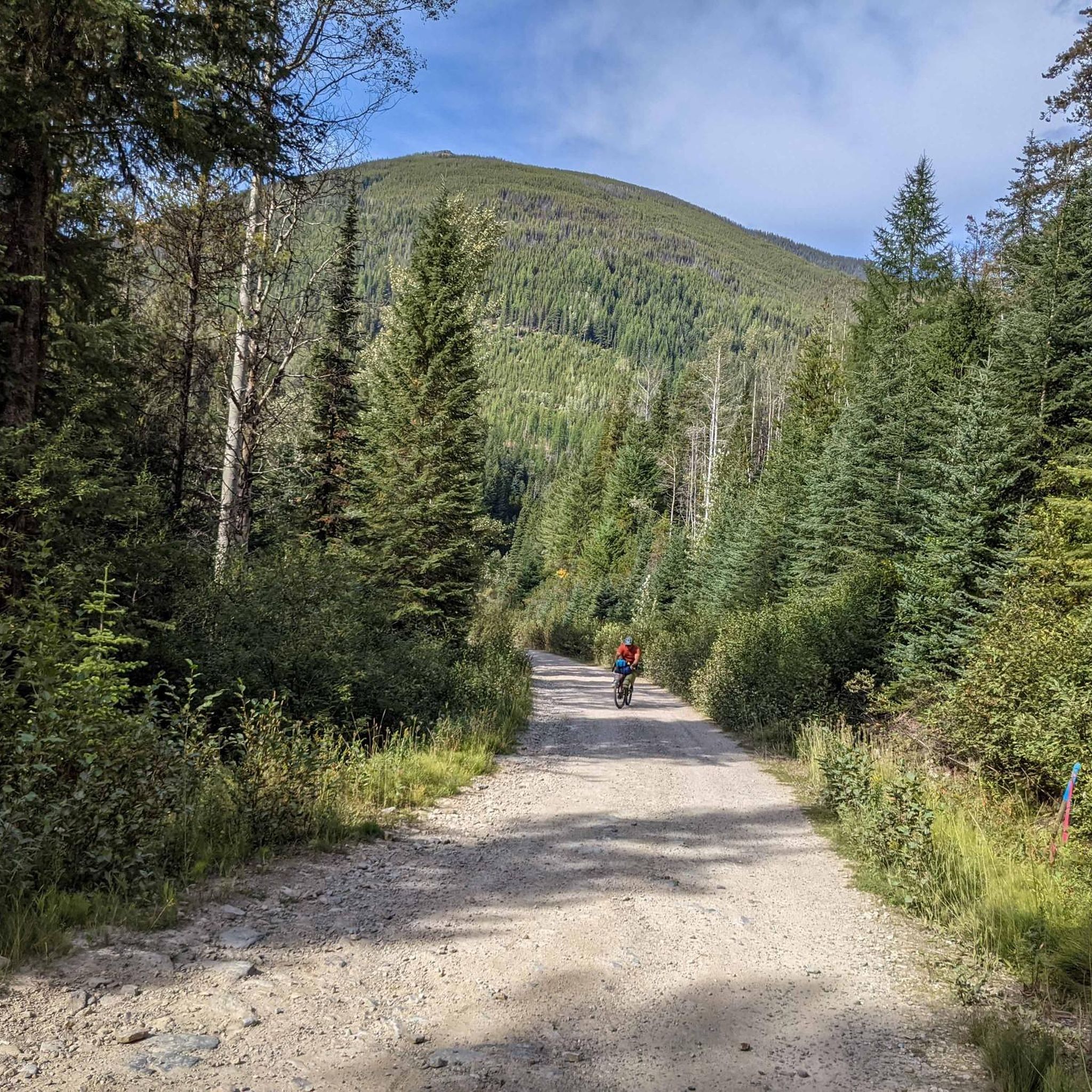
Hiking around Area E (Saint Mary/Skookumchuck)
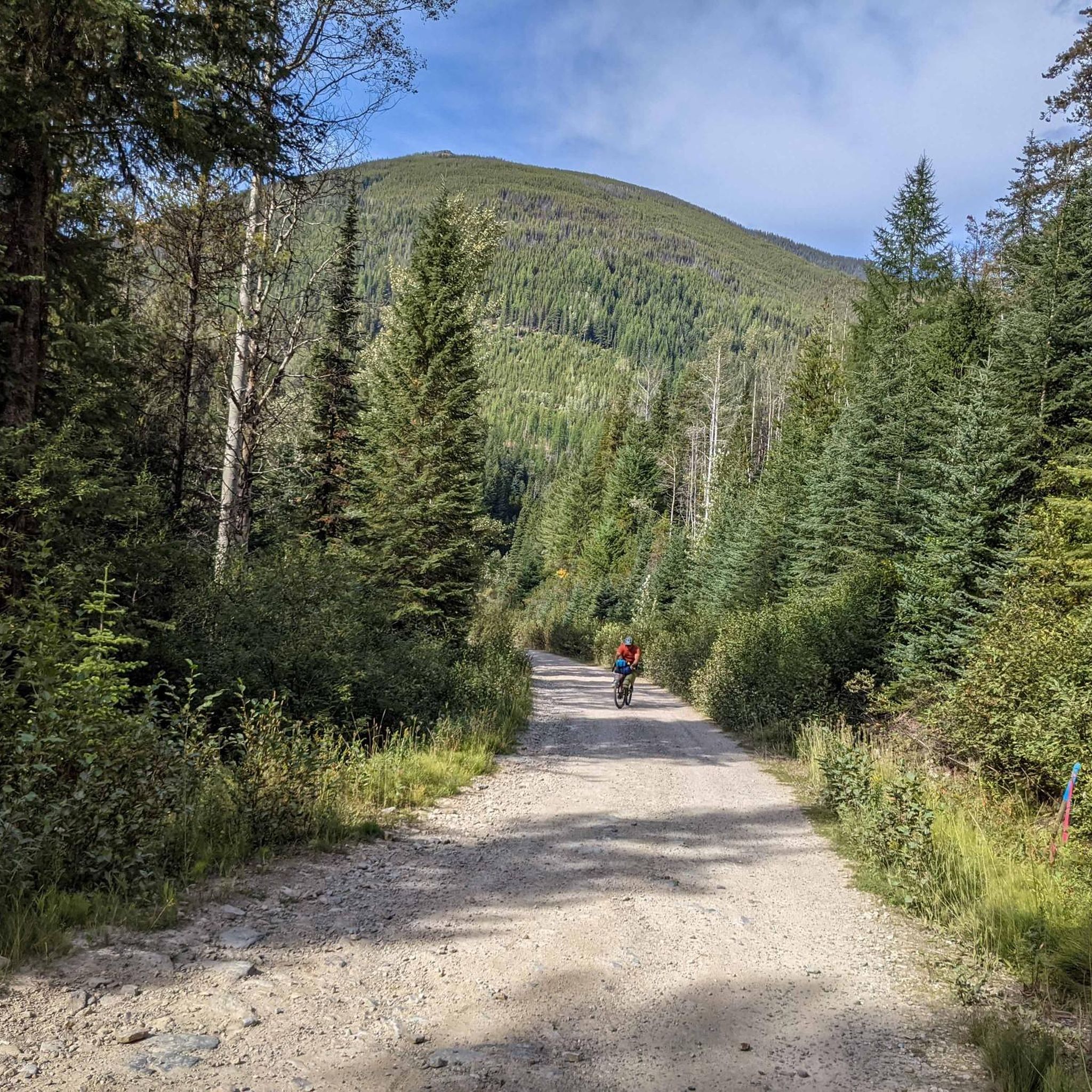
Cycling around Area E (Saint Mary/Skookumchuck)
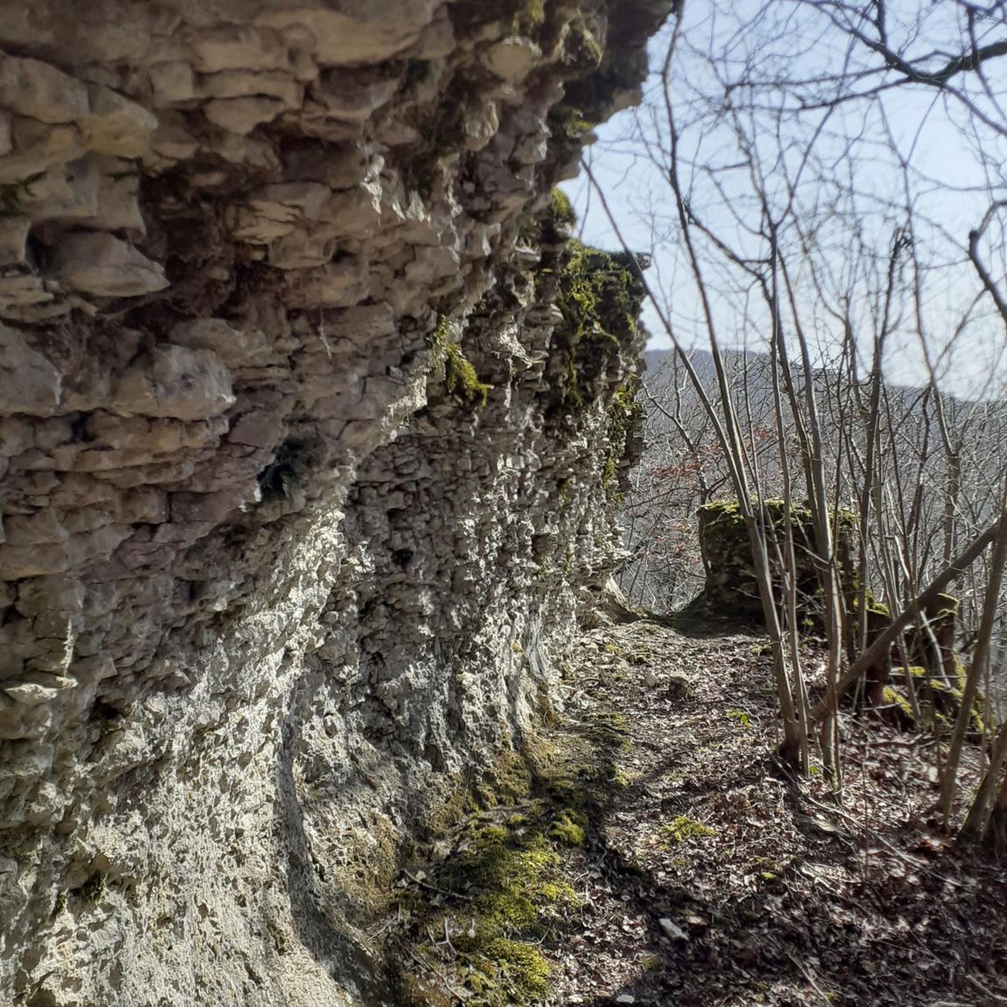
Road Cycling Routes around Area E (Saint Mary/Skookumchuck)
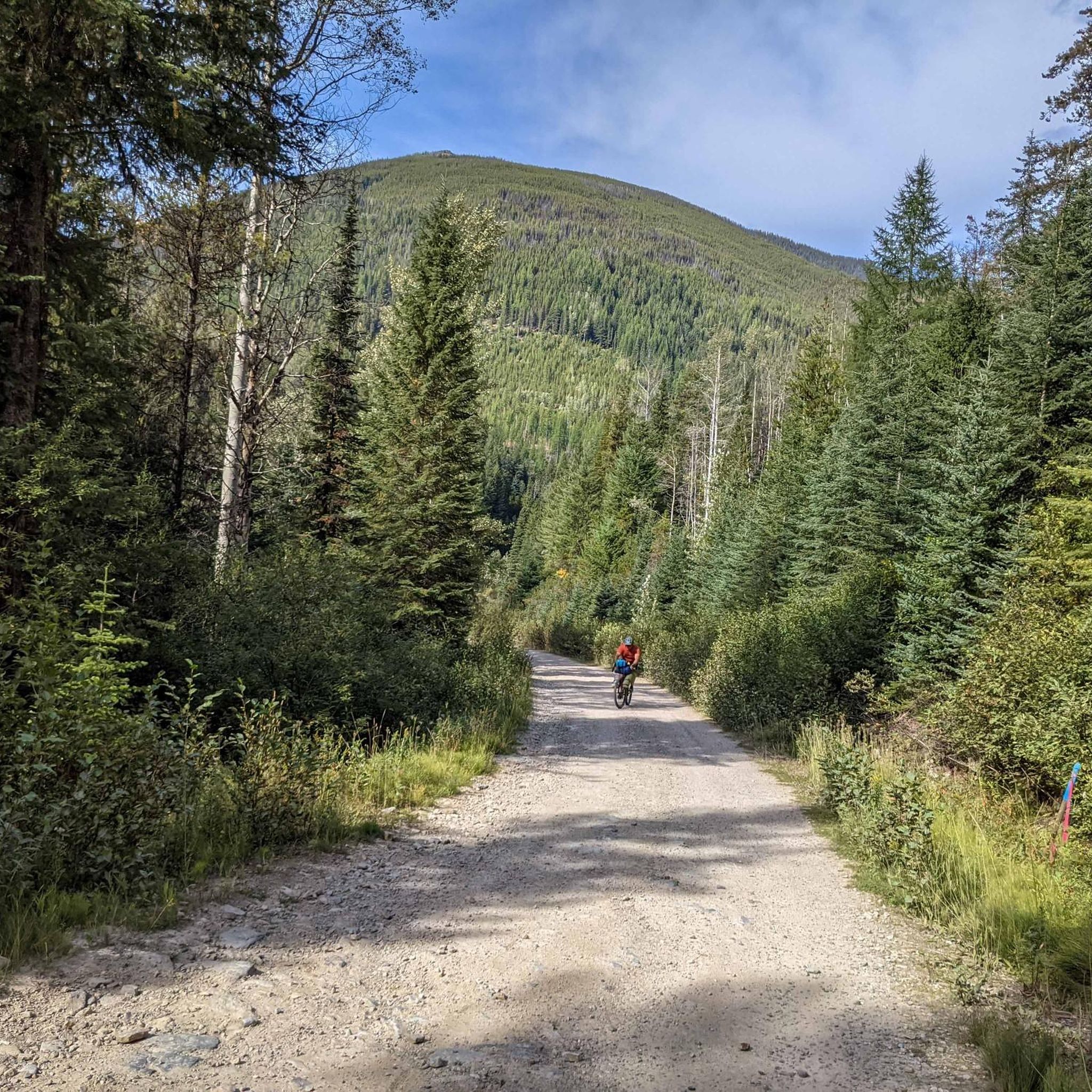
MTB Trails around Area E (Saint Mary/Skookumchuck)
Running Trails around Area E (Saint Mary/Skookumchuck)
Other adventures around Area E (Saint Mary/Skookumchuck)


Tips from the Community

Lakit Lookout sits at around 2,346 metres and has a replica fire lookout that offers free overnight stays on a first-come, first-served basis, with a small wood stove, desk, and cot inside. From here, you can look across the Purcell Mountains to the west and the Rockies to the east, with the Kootenay River winding through the valley in between. On a clear day, you can also see Fort Steele, St. Eugene Mission, Cranbrook and the ski runs at Kimberley Alpine Resort. There is also a picnic table here, making it a perfect spot to take your time and enjoy the scenery over lunch.
0
0

Here, the North Star Rail Trail crosses the St. Mary River. The river flows from St. Mary Lake through forested valleys toward the Kootenay River, and it's a well-known hub for water sports, from whitewater paddling to fly fishing. The views from the bridge are breathtaking!
0
0
Here in Marysville, along the North Star Rail Trail, you get a great peek into the Canadian Rockies. The trail connects Cranbrook and Kimberley as it runs between the Purcell Mountains and the Rocky Mountain Trench. You get a great view of southeastern BC's layered landscape, where grasslands become forests, and lakes and rivers flow through the valley. From here, you can clearly see Mount Fisher in Top of the World Provincial Park.
0
0

At the end of the Perry Creek Trail in East Kootenay, you reach Perry Creek Falls, where the creek drops over a rugged rock face into a narrow gorge. The viewpoint is set slightly back, so you’re looking across at the falls rather than right beside them, but you still get a clear view of the cascade and the surrounding forest. After following the creek the whole way, this feels like a natural turnaround point and the highlight of the hike.
0
0

Gray Creek Pass is part of the Great Trail and also part of the BC Trail & BC Epic 1000. It is tough and rugged, following a forest service road. This price of admission (effort) for this ride is high, but so is the reward. * Heading East: Average of 11.1% grade for 12+km from the start of this highlight, to the Pass. In the last 4km or so, you will find grades in the high teens and low 20's. * Heading West: Average of 3.1% grade for 30+km from the start of this highlight, to the Pass. Note: Although lower grade, the road can be very rugged and technically difficult, especially with a loaded bike. The last 3km or so, you will find grades in the low to mid teens. Complete this ride fully equipped. There are no supplies, limited water and expect no cell service. Bring a GPS tracker in case of emergency. The route follows active FSR's with limited visibility, USE CAUTION along the way. Watch for all vehicles, especially heavily laden logging trucks, give them much extra room to pass. The Gray Creek Pass road is normally closed to vehicles through the winter, opening as late as mid July. Late snow and the occasional washout can delay the annual opening. Cyclists can often pass through these obstacles but do so at their own risk. Visit the Gray Creek Store’s website for the latest road conditions: https://graycreekstore.com/general-store/news
2
0
Frequently Asked Questions
What natural landmarks and viewpoints can I explore in Area E (Saint Mary/Skookumchuck)?
Area E offers stunning natural features. You can experience the powerful tidal rapids at Skookumchuck Narrows Provincial Park, or enjoy breathtaking river views from the View of St. Mary River from the bridge. For panoramic vistas, consider the challenging journey to Gray Creek Pass.
Are there any notable waterfalls to visit in Area E?
Yes, the area features beautiful waterfalls. You can hike to Perry Creek Falls, where the creek cascades over a rugged rock face. Another accessible option is Marysville Falls Trail, which offers a scenic boardwalk leading to the falls.
What kind of river views can I expect in Area E (Saint Mary/Skookumchuck)?
The region is rich with river scenery. The View of St. Mary River from the bridge provides breathtaking vistas of the St. Mary River, a hub for water sports and fly fishing. The hike to Perry Creek Falls also follows the creek, offering continuous river views.
Are there easy hiking trails suitable for beginners in Area E?
Yes, there are several easy hiking options. The Marysville Falls Trail is a short, scenic boardwalk perfect for a leisurely stroll. You can also find other easy trails like the Perry Creek Trail or the Canuck Lake – Yankee Lake loop near Premier Lake Provincial Park. For more options, check out the Easy hikes around Area E (Saint Mary/Skookumchuck) guide.
What are some challenging hikes or routes in the Area E (Saint Mary/Skookumchuck) region?
For a significant challenge, consider the journey over Gray Creek Pass. This route, part of the Great Trail, involves steep grades and rugged terrain, especially when heading east. The Gray Creek Pass Climb itself is thousands of feet of ascent, offering immense rewards for experienced cyclists and hikers. You can find more challenging routes in the Hiking around Area E (Saint Mary/Skookumchuck) guide.
Are there opportunities for longer running trails in Area E?
Absolutely. The area offers several running trails of varying difficulties. You can explore routes like the Volksmarch Trail Start loop from Kimberley or the Lois Lake – Tea spot loop. For more details on distances and difficulty, refer to the Running Trails around Area E (Saint Mary/Skookumchuck) guide.
Are there family-friendly attractions or activities in Area E (Saint Mary/Skookumchuck)?
Yes, the region has options suitable for families. The Marysville Falls Trail is a short, accessible boardwalk that families can enjoy. The View of St. Mary River from the bridge is also a pleasant, easy stop for scenic views. Premier Lake Provincial Park, a short drive away, offers fishing and easy loops like the Canuck Lake – Yankee Lake loop.
When is the best time to visit Area E (Saint Mary/Skookumchuck) for outdoor activities?
The best time largely depends on the activity. For most hiking and cycling, late spring through early fall (May to October) offers pleasant weather. However, routes like Gray Creek Pass are normally closed to vehicles through winter and may not open until mid-July due to snow or washouts. Always check local conditions before planning your trip, especially for higher elevations.
Can I bring my dog on trails in Area E (Saint Mary/Skookumchuck)?
Many outdoor areas in British Columbia are dog-friendly, especially on trails, but it's always best to check specific park or trail regulations. Generally, dogs are welcome on leash. For example, the hike to Skookumchuck Narrows Provincial Park is a popular dog-friendly trail. Always practice Leave No Trace principles and clean up after your pet.
Are there any cultural or historic sites in the broader Saint Mary/Skookumchuck region?
While the immediate attractions in Area E focus on natural beauty, the broader region associated with 'Skookumchuk' includes the Church of the Holy Cross National Historic Site of Canada, a remarkable Gothic Revival church built by the Skookumchuk First Nation community. Depending on the specific 'Saint Mary' location, other historical sites like Historic St. Mary's City in Maryland or the Museum of the Plains Indian in Montana could be relevant, but these are outside the immediate Area E.
What are the road conditions like for Gray Creek Pass?
The Gray Creek Pass follows active Forest Service Roads (FSRs). While the road surface for the climb can be smooth in parts, it can also be very rugged and technically difficult, especially with a loaded bike. Visibility can be limited, so caution is advised, and you should watch for logging trucks. The pass is normally closed through winter and may open as late as mid-July; check the Gray Creek Store’s website for current conditions.
Are there hot springs near Area E (Saint Mary/Skookumchuck)?
Yes, the Kootenay region is known for its hot springs. Lussier Hot Springs, located within Whiteswan Lake Provincial Park, is a popular natural hot spring. There are also Buhl Creek Hot Springs, accessible via a scenic drive over logging roads, which are good for a visit in late summer. You can find the Ram Creek Hot Springs on an easy hiking route in the Hiking around Area E (Saint Mary/Skookumchuck) guide.
Most popular routes around Area E (Saint Mary/Skookumchuck)

Get inspired with the komoot mobile app


Explore more
Still not found the Highlight you’re looking for? See guides of the top attractions in other regions:
