The best walks and hikes around Cottonwood
2
hikers
5
hikes
Hiking around Cottonwood, Arizona, offers a diverse landscape characterized by riparian ecosystems along the Verde River and arid desert terrain. The region features trails that wind through lush cottonwood and sycamore forests, contrasting with routes that ascend into surrounding hills. This blend provides varied hiking experiences, from flat riverside paths to trails with moderate elevation gain.
Best hiking trails around Cottonwood
- The most popular hiking route is Panorama Park Loop, a 3.3 miles (5.3 km) trail that takes 1…
Last updated: October 12, 2026
2
hikers
5.31km
01:27
90m
80m
The Panorama Park Loop offers a delightful blend of urban vistas and natural tranquility, making it a fantastic easy hike right in Bakersfield. You'll follow a wide, flat dirt path…
10.0km
02:31
10m
10m
The Kern River Parkway Trail offers a delightful escape into nature right within Bakersfield, providing a mix of paved and dirt paths that wind alongside the Kern River. You'll experience…

2.31km
00:35
0m
0m
The Kern River Parkway Bike Trail offers a delightful escape into nature, even for a short outing. This easy 1.4-mile (2.3 km) hike, with a minimal 5 feet (1 metres)…
125km
31:56
400m
430m
Embark on the Kern River Parkway Trail, a challenging hiking route stretching 77.8 miles (125.2 km) with a total elevation gain of 1304 feet (397 metres). This difficult journey typically…
6.05km
01:37
70m
70m
The Kern River Parkway and Bluffs Loop offers a refreshing blend of urban accessibility and natural beauty, making it one of the more popular trails routes in Bakersfield. This easy…
Our route recommendations are based on thousands of hikes, rides, and runs completed by other people on komoot.
Start today with a free account
Your next adventure awaits.
Popular around Cottonwood

Tips from the Community

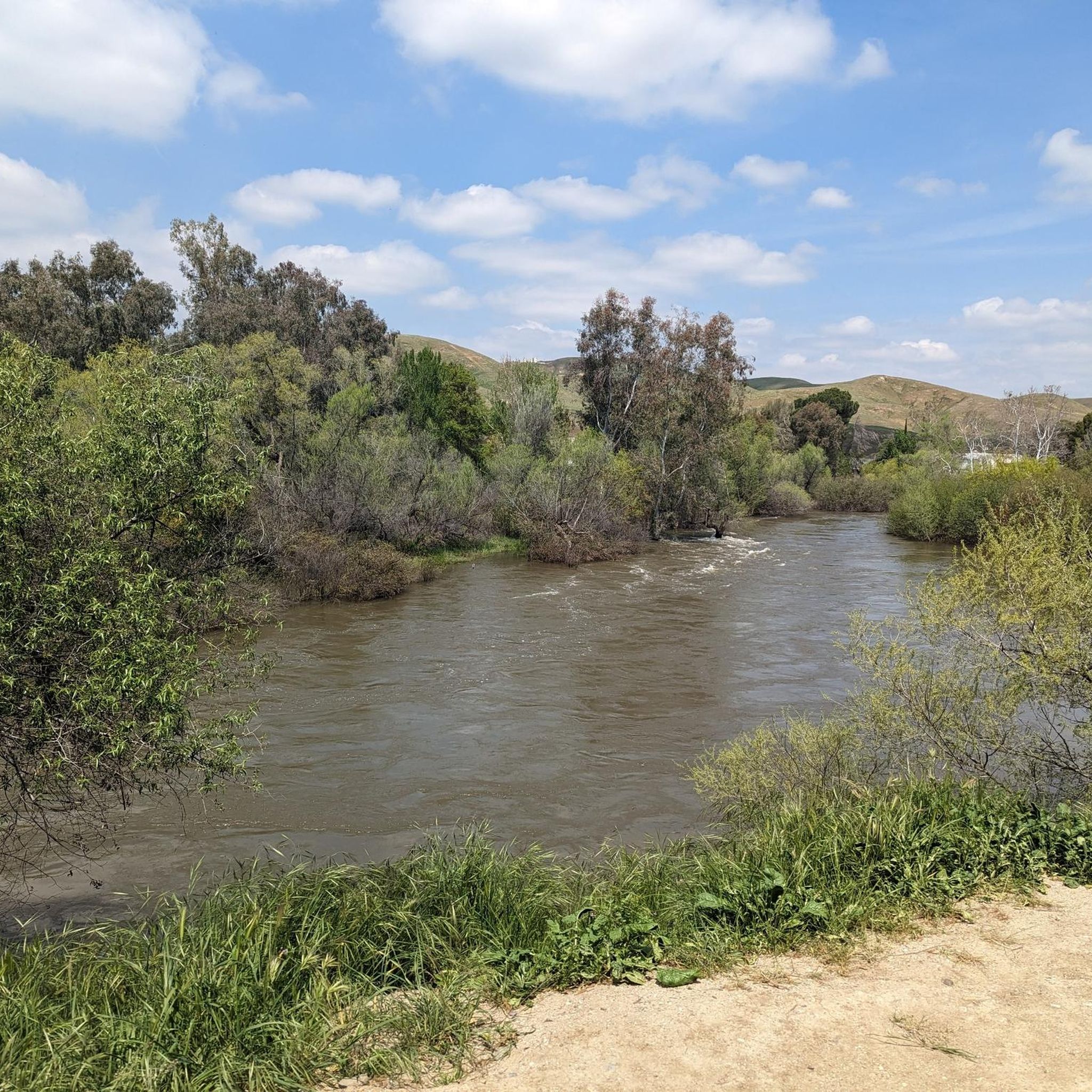
This urban park is well-maintained, with several walking trails, benches, drinking fountains, and plenty of green space. It's a great place to picnic, hike, or trek down the hill to enjoy the Kern River. There are spectacular views of the city, mountains, and oilfields, especially on a clear day.
0
0
This is a fantastic extension of the park with a wide flat path along the steep cliffside. With oil rigs and ranches as its backdrop, there are plenty of benches to sit, relax, and take in the scenery. Here, you can enjoy the views of the oilfields contrasting with the lush Panorama Vista Preserve next to them, which is used as a wildlife rehabilitation area.
0
0

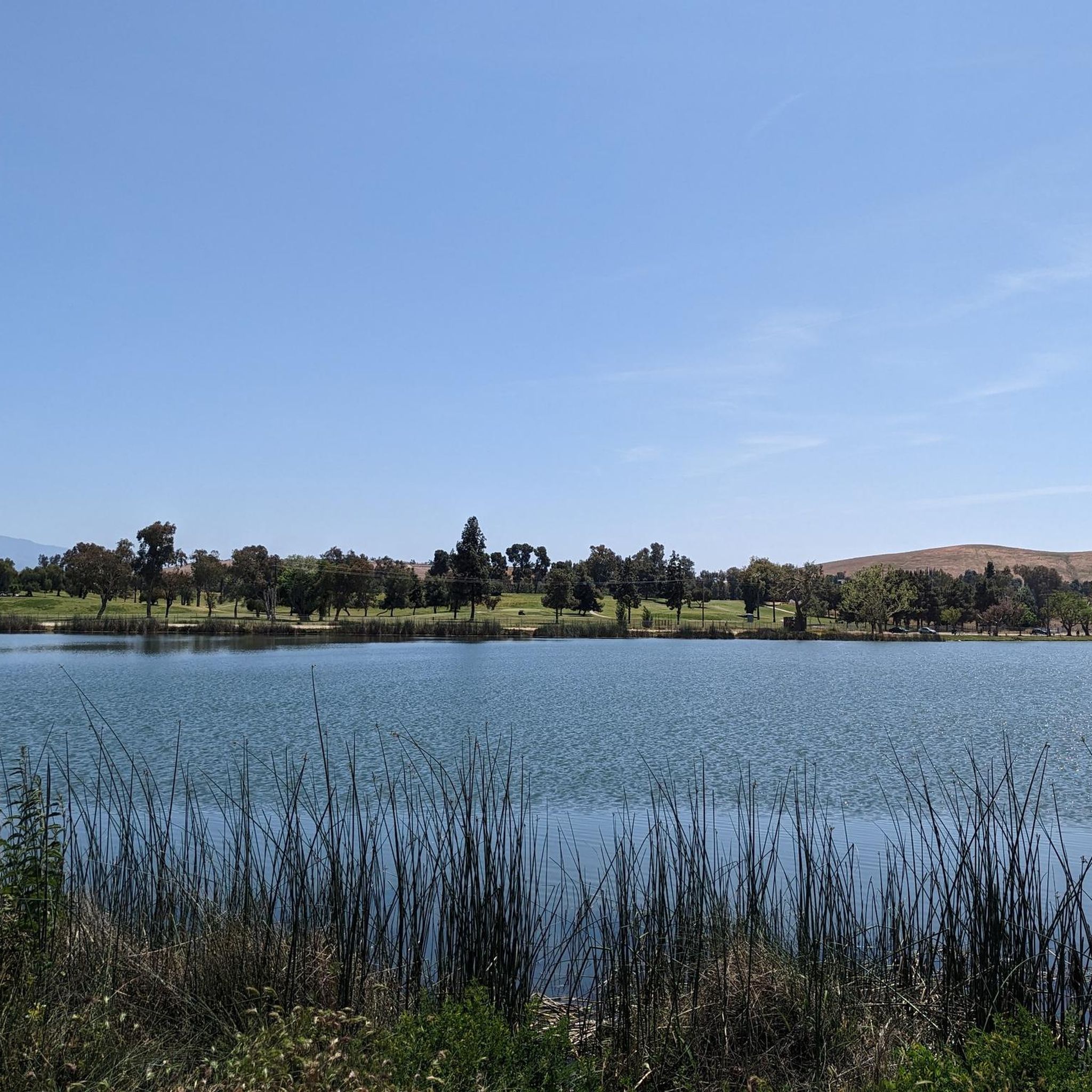
This 32-acre park is home to an amphitheater, two ponds, trails, fountains, picnic areas, BBQs, and more. It's a great spot to bring the family whether you stay for the day or are just passing through.
0
0
Frequently Asked Questions
How many hiking trails are available around Cottonwood?
Komoot features a selection of 5 hiking trails around Cottonwood. These routes offer a variety of experiences, from easy riverside strolls to more challenging paths with elevation gain, allowing you to explore the diverse landscapes of the Verde Valley.
Are there easy hiking trails suitable for families in Cottonwood?
Yes, Cottonwood offers several easy trails perfect for families. The area is known for its accessible paths, particularly along the Verde River. For a gentle walk, consider the Kern River Parkway Bike Trail, which is just over 2 kilometers long and has minimal elevation change. Another family-friendly option is the Panorama Park Loop, offering a pleasant 5-kilometer walk.
What kind of natural features can I expect to see on hikes in Cottonwood?
Cottonwood's hiking trails showcase a rich blend of natural features. You'll find lush riparian forests along the Verde River, characterized by cottonwood and sycamore trees, providing shade and opportunities for birdwatching. Beyond the river, trails ascend into desert and hillside terrain with creosote and juniper shrubland, offering expansive views of the Verde Valley. While not directly in Cottonwood, the iconic red rock formations of Sedona are a short drive away, providing access to breathtaking geological wonders.
Are there any loop trails in Cottonwood?
Yes, Cottonwood features several loop trails that allow you to start and end at the same point, offering a convenient hiking experience. The Panorama Park Loop is an easy 5.3-kilometer option, while the Kern River Parkway and Bluffs Loop provides a slightly longer, easy 6-kilometer route with scenic views.
What is the best time of year to go hiking in Cottonwood?
The best time to hike in Cottonwood is typically during the cooler months, from fall through spring (October to April). During these seasons, temperatures are mild and pleasant, making for comfortable outdoor exploration. Summers can be very hot, so if hiking in summer, it's best to go early in the morning or late in the afternoon and carry plenty of water.
Are there any trails with scenic viewpoints in Cottonwood?
Many trails in Cottonwood offer scenic viewpoints, particularly those that climb into the hills surrounding the Verde Valley. Trails within areas like the Prescott National Forest or the Mingus Mountain Recreation Area provide elevated perspectives, allowing you to take in panoramic views of Cottonwood and the Black Hills. The Kern River Parkway and Bluffs Loop also offers pleasant vistas along its route.
What are the options for public transport to reach hiking trails in Cottonwood?
While specific public transport directly to trailheads might be limited, Cottonwood itself has local transit options. For detailed information on city parks and trails, which are often accessible, you can consult the official Cottonwood city website: cottonwoodaz.gov/561/Area-Trails. Many trails, especially those within Dead Horse Ranch State Park or Riverfront Park, are often close to town or accessible by short drives.
Are there any challenging hikes in the Cottonwood area?
Yes, for those seeking a more strenuous experience, Cottonwood does offer challenging options. The Kern River Parkway Trail, in its full length, is classified as difficult, spanning over 125 kilometers with significant elevation changes, making it suitable for experienced hikers looking for a long-distance adventure. The Mingus Mountain Recreation Area also provides trails with more substantial elevation gain and rugged terrain.
Where can I find information about parking for Cottonwood hiking trails?
Parking availability varies by trailhead. Many popular hiking areas, such as Dead Horse Ranch State Park and Riverfront Park, have designated parking lots. For general information on area trails and potential parking details, it's advisable to check the City of Cottonwood's official resources, such as their trails page: cottonwoodaz.gov/561/Area-Trails. Always look for signage at trailheads for specific parking instructions or fees.
What wildlife might I encounter on hikes in Cottonwood?
Cottonwood's diverse ecosystems support a variety of wildlife. Along the Verde River and in riparian areas, you might spot numerous bird species, including waterfowl and raptors, as well as mammals like otters and gray foxes. In the more arid desert and hillside regions, keep an eye out for desert-adapted animals such as rabbits, coyotes, and various reptiles. Always observe wildlife from a respectful distance.
Are there any permits required for hiking in Cottonwood?
Generally, permits are not required for day hiking on most public trails in and around Cottonwood. However, some state parks or national monuments, such as Dead Horse Ranch State Park or Tuzigoot National Monument, may have entrance fees. It's always a good idea to check the specific regulations for the area you plan to visit before heading out.
Most popular routes around Cottonwood

Get inspired with the komoot mobile app


Explore more
Browse the best Hikes in other regions.
