Top 3 Mountain Passes in Wenger Wald
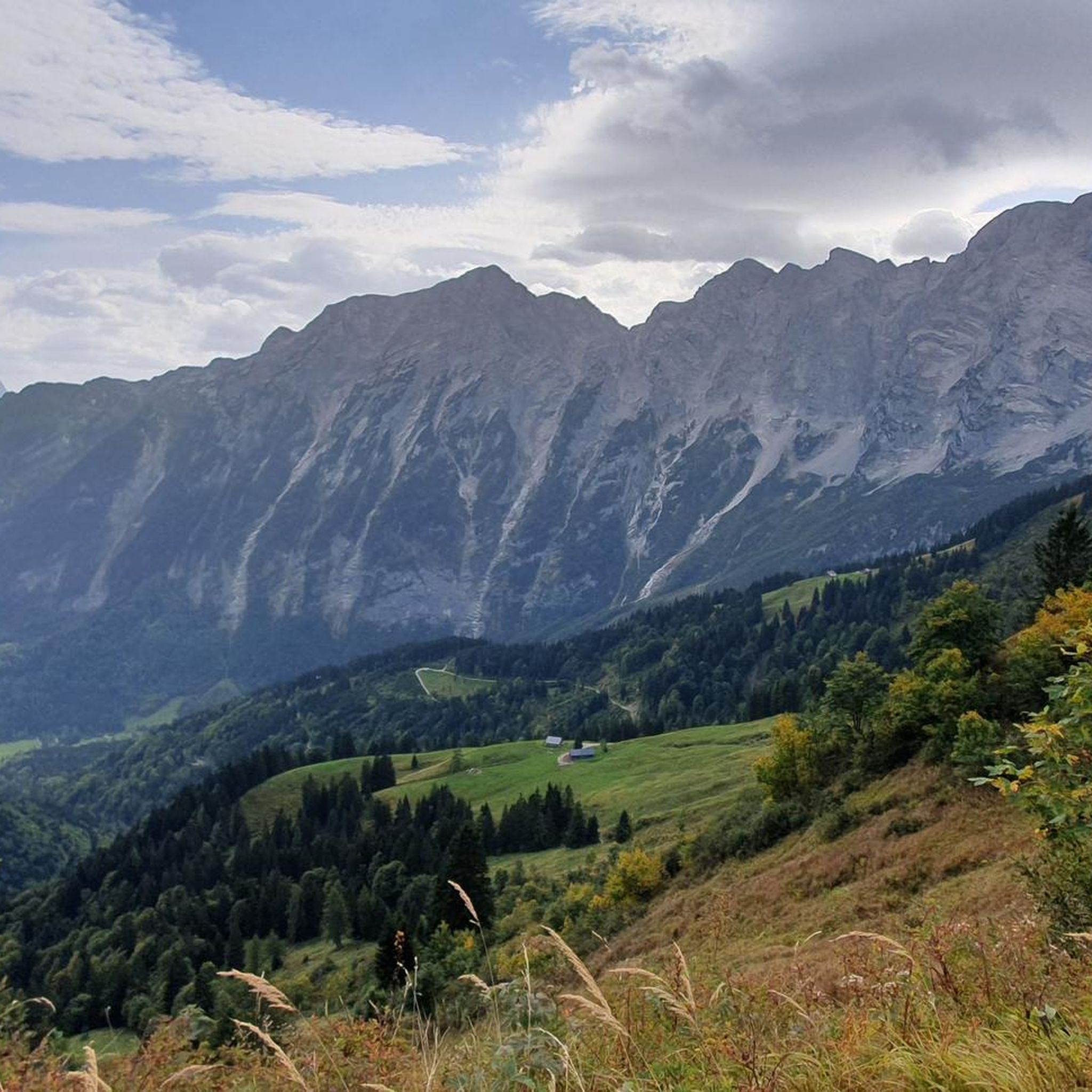
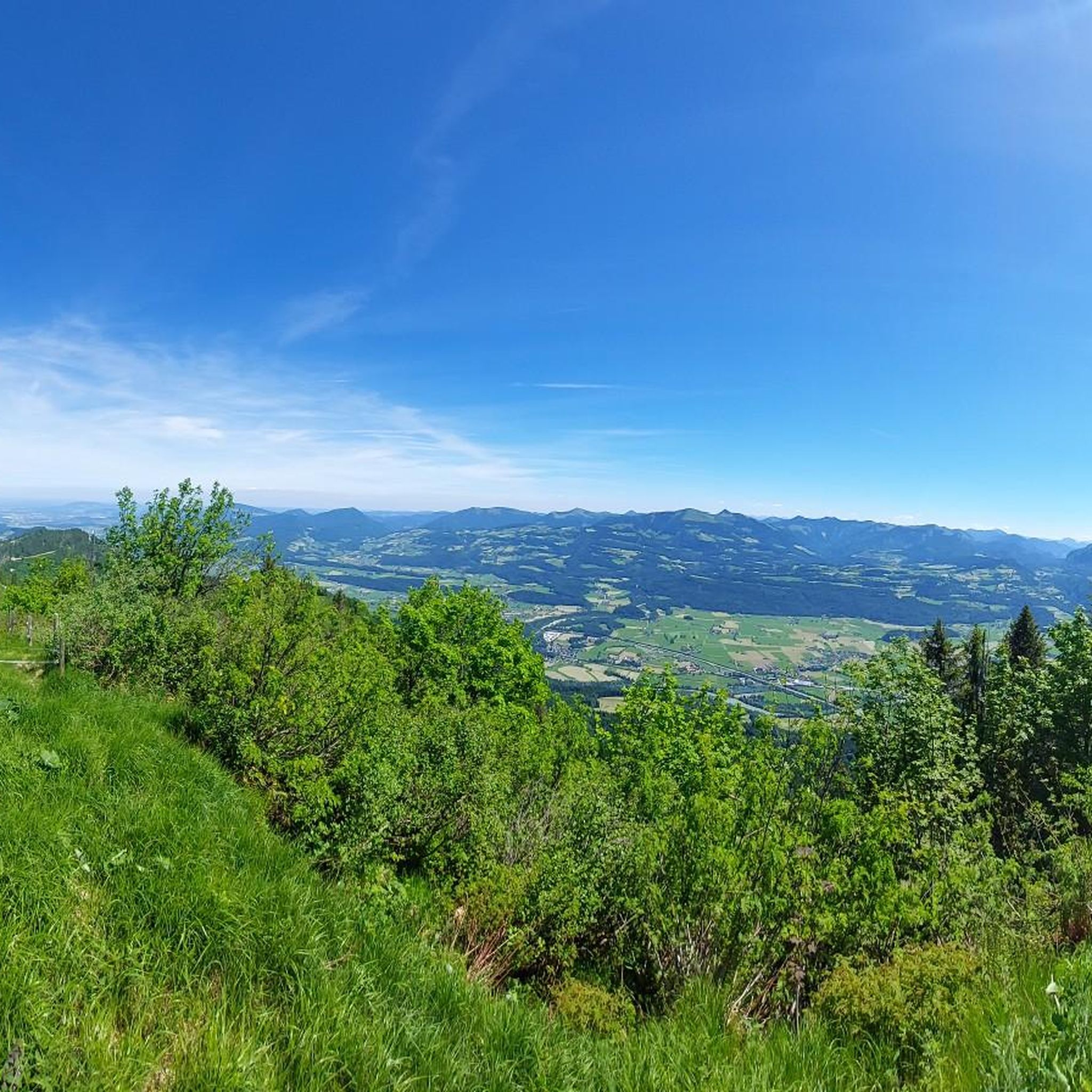
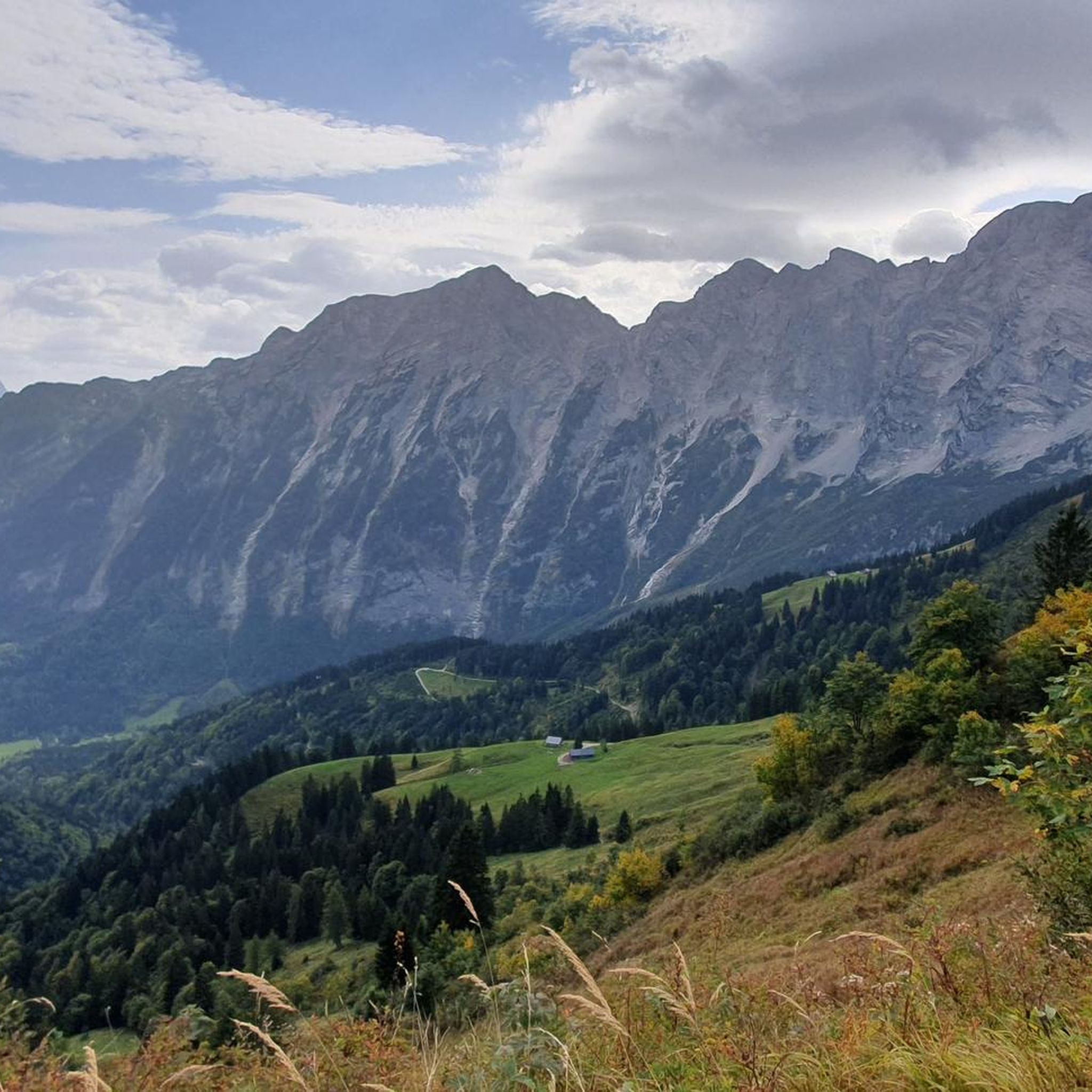
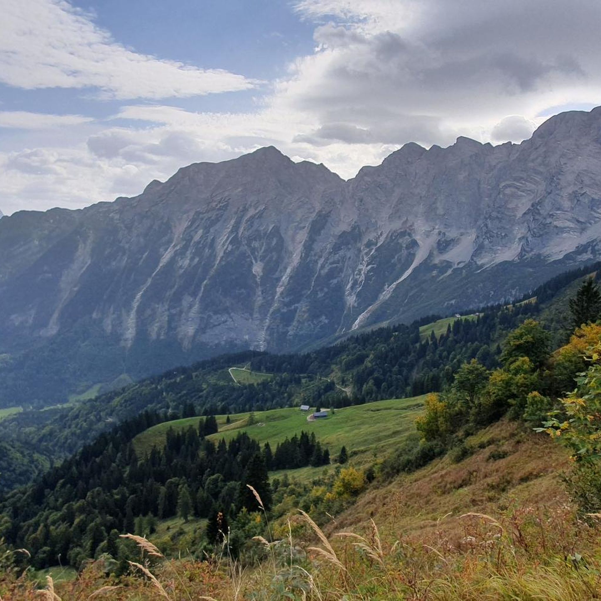
Best mountain passes in Wenger Wald are situated within the Northern Limestone Alps, a region characterized by its diverse terrain, ranging from lush meadows to rugged cliffs and imposing peaks. This area offers captivating alpine panoramas, including views of the Berchtesgaden Alps, Hagengebirge, and Tennengebirge. While traditional passes are limited, the region features notable scenic roads and high-altitude trails that traverse the mountainous landscape. These routes provide opportunities for exploring the natural features and challenging terrain of Wenger Wald.
Best…
Last updated: July 4, 2026
Rossfeld Panorama Road Viewpoint
Highlight • Viewpoint
Translated by Google •
Tip by

Ascent via Rossfeld Panoramic Road from Hallein
Highlight (Segment) • Mountain Pass
Translated by Google •
Tip by
Sign up now to discover places like this
Get recommendations on the best single tracks, peaks, & plenty of other exciting outdoor places.
Sign up for free
Descent from Rossfeld to B305
Highlight (Segment) • Trail
Translated by Google •
Tip by

Start today with a free account
Your next adventure awaits.
Login or Signup

Tips from the Community

Somewhat steep climb to the summit cross
4
0

Great climb, difficult but the view more than makes up for it
0
0

A tough climb at the beginning. Then it becomes a bit more pleasant but still challenging. Great views and a magnificent panorama at the top of the pass quickly make the exertion forgotten. And finally, a thrilling descent awaits.
1
0

On the ten-kilometer climb, you'll gain 1,000 meters in elevation. The Roßfeld Panorama Road is relatively quiet, making the climb very pleasant. A spectacular panorama, a restroom, and a place to stop for refreshments await you at the summit.
1
0

A panoramic road in the truest sense of the word
3
0

Nice climb, but also a bit hard :)
3
0

A beautiful panorama that you can experience on Roßfeldstrasse.
3
0

Beautiful in winter and summer
3
0
Frequently Asked Questions
What are the main mountain passes or routes to explore in Wenger Wald?
The primary route is the Rossfeld Panorama Road, which offers stunning views and various access points. You can experience the Ascent via Rossfeld Panoramic Road from Hallein, enjoy the vistas from the Rossfeld Panorama Road Viewpoint, or tackle the challenging Descent from Rossfeld to B305. Beyond these, the region is known for its mountaineering routes and hiking trails, offering diverse alpine experiences.
What kind of views can I expect from the mountain passes in Wenger Wald?
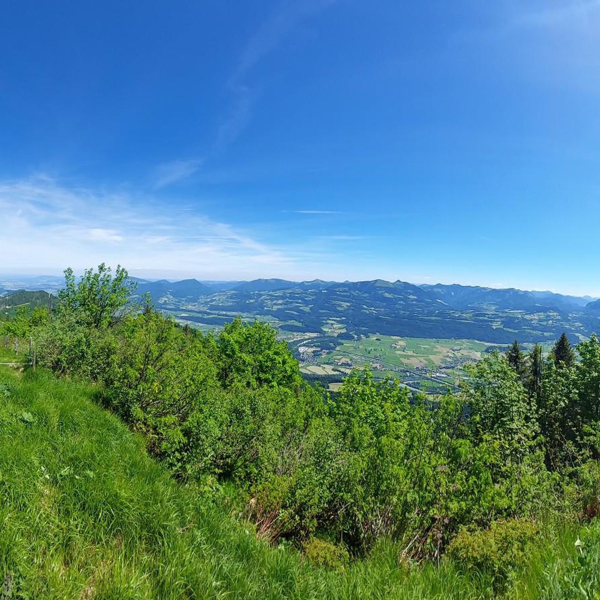
From the Rossfeld Panorama Road, you can expect breathtaking 360° panoramic views. These include the majestic Tennengebirge Mountains, the Berchtesgadener Land, the Watzmann, Hoher Göll, Untersberg massif, and even distant views of Salzburg, Hallein, Golling, and the Dachstein on a clear day.
How challenging are the mountain passes and routes in Wenger Wald?
The difficulty varies. The Rossfeld Panorama Road itself is accessible by car, but the associated trails can range from intermediate to challenging. For instance, the Descent from Rossfeld to B305 involves a significant 1,000-meter elevation gain over 10 kilometers, making it a tough climb. Other mountaineering routes in the region, like the Bärenstuhl Summit Cross loop, also demand a very good fitness level.
Are there family-friendly options for exploring the mountain passes?
Yes, the Rossfeld Panorama Road Viewpoint is considered family-friendly and easily accessible by car. While some trails require good fitness, the region offers a blend of natural beauty and activities suitable for various skill levels, including paths that are easily accessible.
When is the best time to visit Wenger Wald for mountain pass experiences?
The region is generally best enjoyed during seasons with clear weather to fully appreciate the panoramic views. Spring, summer, and early autumn typically offer the most favorable conditions for hiking and exploring the mountain passes, with lush green meadows and accessible trails. Specific seasonal trail conditions should be checked closer to your visit.
What outdoor activities can I do near the mountain passes in Wenger Wald?
Beyond exploring the mountain passes, Wenger Wald offers a variety of outdoor activities. You can find numerous hiking trails, including challenging routes like 'Hoher Göll via Purtschellerhaus' or moderate ones like 'Stairway to Golling Waterfall – Stairway to Hexenkesselsteg loop from Kuchl'. There are also running trails and city hikes available. For more options, explore the Hiking in Wenger Wald, Running Trails in Wenger Wald, or City hikes in Wenger Wald guides.
What natural features are prominent around the mountain passes?
The region is characterized by captivating alpine panoramas, transitioning from lush green meadows to rugged cliffs and imposing peaks. You'll encounter views of the Berchtesgaden Alps, Hagengebirge, and Tennengebirge. The Salzach River also plays a role in the landscape, as seen from trails like the Kuchl Bridge loop.
Are there facilities like restrooms or refreshments available on the mountain passes?
Yes, for routes like the Descent from Rossfeld to B305, visitor tips mention that a restroom and a place to stop for refreshments await you at the summit of the Rossfeld Panorama Road.
How can I access the Rossfeld Panorama Road?
The Rossfeld Panorama Road is easily accessible, including by car. The climb from the eastern side, for example, from Hallein, is often described as more pleasant than from Berchtesgaden. It is a toll Alpine road located just a few kilometers outside of Salzburg.
What do visitors enjoy most about the mountain passes in Wenger Wald?
Visitors consistently praise the spectacular and breathtaking panoramic views, especially the 360° vistas from the Rossfeld Panorama Road. The relatively quiet nature of the road and the rewarding feeling after a challenging climb are also frequently highlighted. The diverse landscape, from meadows to rugged peaks, is a major draw.
Are there any specific viewpoints I should look for?
Absolutely. The Rossfeld Panorama Road Viewpoint offers excellent perspectives towards Salzburg and the Untersberg massif. During the ascent, you'll also get beautiful views of the Berchtesgadener Land, the Watzmann, and the Hoher Göll.
Most popular routes in Wenger Wald
Most popular attractions in Wenger Wald

Get inspired with the komoot mobile app


Explore more
See even more epic mountain passes by checking out these guides in Wenger Wald:
