The 4 Most Amazing Peaks around Alos
Mountain peaks around Alos, located in the Ariège Pyrenees, offer diverse alpine experiences. This region is characterized by its natural landscapes, including summits, viewpoints, and river valleys. The area provides opportunities for various outdoor activities, from challenging climbs to family-friendly walks. Its terrain features distinctive peaks and natural monuments within the French Pyrenees.
Best mountain peaks around Alos
- The most popular mountain peaks is Tuc de Montcalivert Summit and Cross, a summit that offers incredible 360° views of the…
Last updated: August 21, 2026
Engomer
Highlight • Summit
Translated by Google •
Tip by

Tuc de Montcalivert Summit and Cross
Highlight • Summit
Translated by Google •
Tip by

Sign up now to discover places like this
Get recommendations on the best single tracks, peaks, & plenty of other exciting outdoor places.
Sign up for free
Mount Valier
Highlight • Summit
Translated by Google •
Tip by

Cabane du Trapech du Milieu
Highlight • Mountain Hut
Translated by Google •
Tip by
Fonta Peak
Highlight • Summit
Showing Translation
Tip by

Sign up for free to discover even more peaks around Alos.
Sign up for free
Already have an account?
Start today with a free account
Your next adventure awaits.
Login or Signup


Tips from the Community

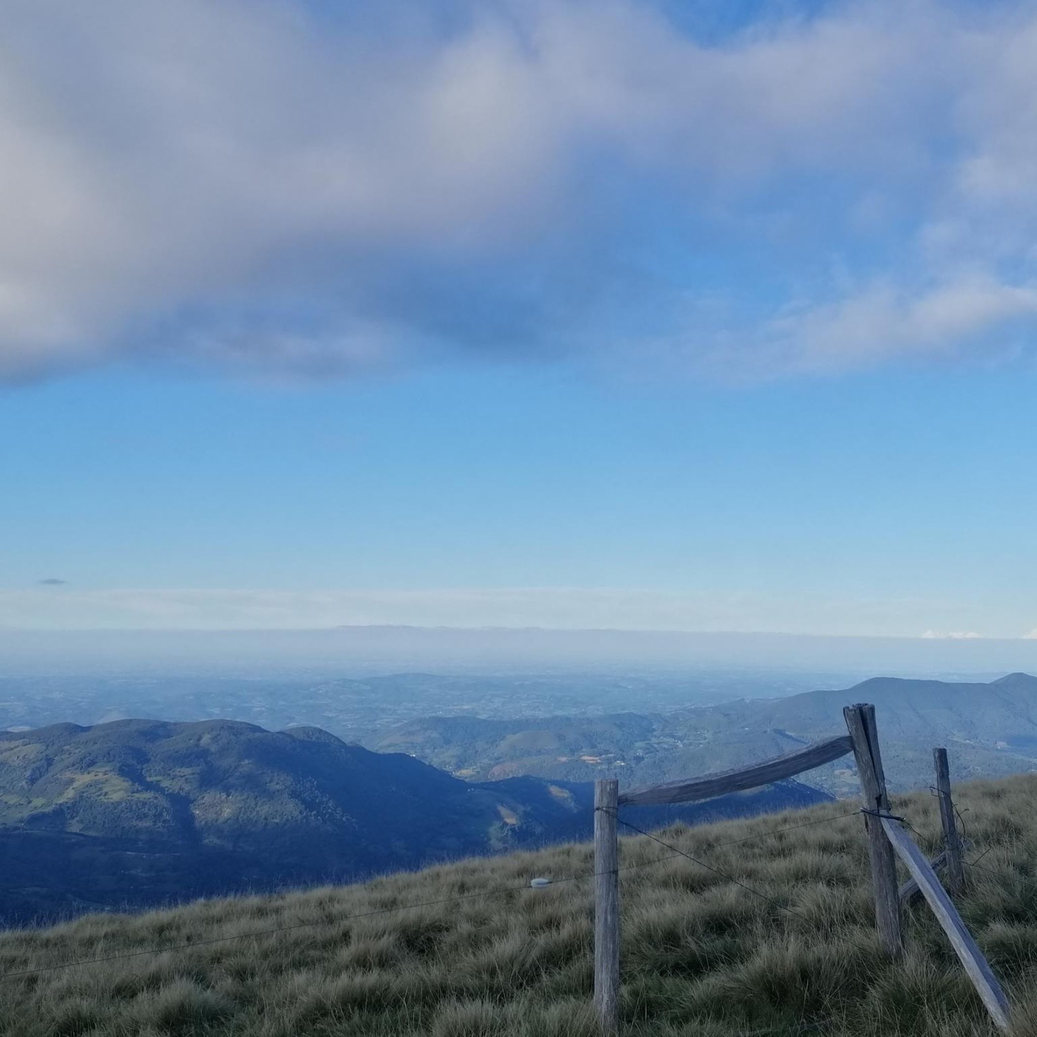
The Pic de Fonta is a 1,934 m high peak in the French Pyrenees in the Ariège department, near Couflens. It is considered a scenic summit with an impressive view of the Mont-Valier massif and the Couserans nature reserve. The most common hike starts in Lasserre or at the Col de Pause. From Lasserre, the circular tour is around 9–10 km, with about 800–950 meters of elevation gain and 5 to 5½ hours of hiking time. The mountain path is technically mostly easy, but requires good basic fitness. The Pic de Fonta is particularly suitable for hikers looking for a quiet tour with a great panorama, without having to climb a high summit. On clear days, the view extends to the distinctive Mont Valier.
0
0

one of the most beautiful views of our Pyrenees
1
0

Incredible 360° views of the Ariège. Perfect picknick spot.
1
0

Small town on the Lez and on the D618. More information: https://de.wikipedia.org/wiki/Engomer?wprov=sfla1
4
0

This very pretty village is ideally located along the Lez river. Sunday morning is market day.
1
0

Tired of the view
1
0

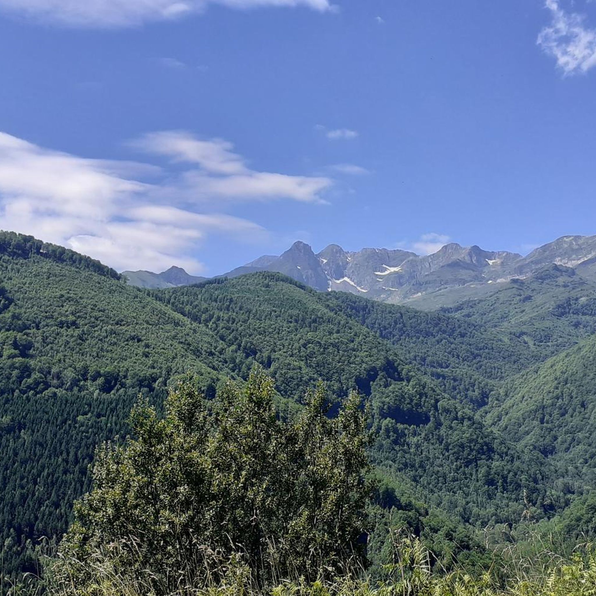
Mont Valier is located at 2,838 meters above sea level and is located in the Ariège Pyrenees. It overlooks the Angouls valley and is a short walk from the Spanish border. The climb is tough, but the panoramic spectacle is breathtaking.
2
1
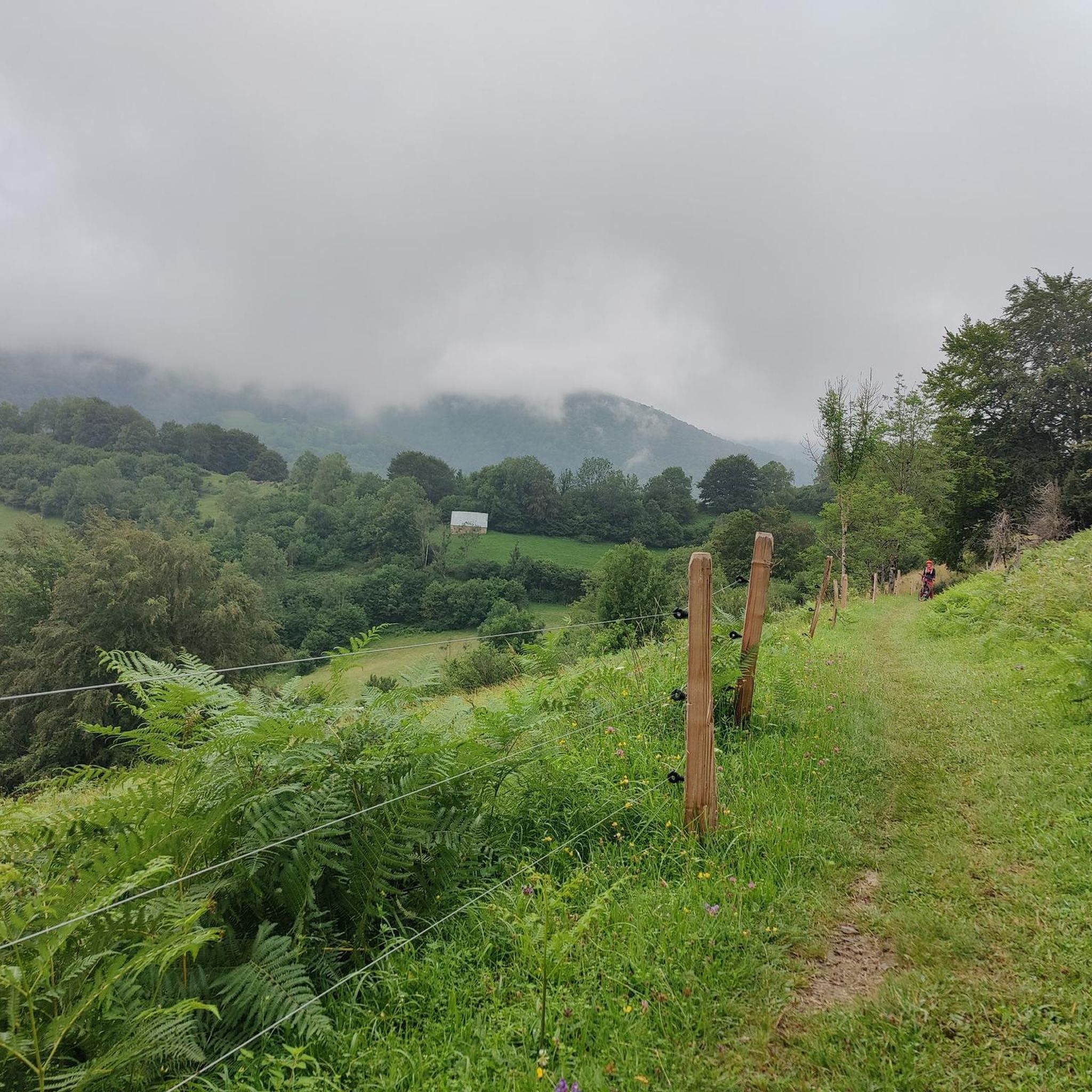
Here is a refuge where you can shelter in case of unexpected bad weather. You have a water fountain but just in case, don't count on it too much.
2
0
Frequently Asked Questions
What are some of the most notable mountain peaks around Alos?
Around Alos, you can explore several impressive peaks. Highlights include Tuc de Montcalivert Summit and Cross, known for its incredible 360° views of the Ariège, and Mount Valier, which offers a breathtaking panoramic spectacle from its 2,838 meters above sea level. Another scenic option is Fonta Peak, providing an impressive view of the Mont-Valier massif and the Couserans nature reserve.
Are there family-friendly mountain walks near Alos?
Yes, for those looking for family-friendly options, the village of Engomer is ideally located along the Lez river and is categorized as family-friendly. While specific family-friendly mountain walks directly to summits aren't detailed, many routes around Alos offer varying difficulty levels, and you can find suitable options within the broader hiking guide for Alos.
What kind of views can I expect from the mountain peaks in the Alos area?
The mountain peaks around Alos offer spectacular vistas. From Tuc de Montcalivert Summit and Cross, visitors can enjoy incredible 360° views of the Ariège Pyrenees. Mount Valier promises a breathtaking panoramic spectacle, while Fonta Peak provides an impressive view of the Mont-Valier massif and the Couserans nature reserve.
What are the difficulty levels for hiking these mountain peaks?
Hiking difficulty varies. Peaks like Tuc de Montcalivert Summit and Cross are considered intermediate. Fonta Peak is also generally intermediate, with its mountain path technically mostly easy but requiring good basic fitness. The climb to Mount Valier is described as tough, indicating a more challenging ascent. Always check specific route details for current conditions and precise difficulty ratings.
Are there any shelters or huts available on the trails around Alos?
Yes, for longer hikes or in case of unexpected weather, you can find shelters such as the Cabane du Trapech du Milieu. This refuge offers shelter and typically has a water spring or trough, though it's always wise to carry your own water or a filter as a precaution.
What outdoor activities can I do near the mountain peaks of Alos?
Beyond peak bagging, the Alos area offers a variety of outdoor activities. You can explore numerous hiking trails, ranging from moderate to difficult. For cyclists, there are MTB trails and traffic-free bike rides available, providing diverse ways to experience the region's natural beauty.
What do visitors enjoy most about the mountain peaks around Alos?
Visitors frequently highlight the stunning panoramic views. The 360° vistas from Tuc de Montcalivert Summit and Cross are often praised as 'incredible' and 'one of the most beautiful views of our Pyrenees.' The breathtaking spectacle from Mount Valier and the impressive outlook from Fonta Peak are also highly valued.
Are there specific hiking routes recommended for beginners near Alos?
While specific beginner-focused mountain peak routes aren't detailed, the general hiking guide for Alos includes routes with 'moderate' difficulty grades, such as the 'Etang d'Ayes – hike starting from Lac Bethmale' or 'Lake Eychelle and Eychelle Hut Trail.' These might be more suitable starting points before attempting more challenging summits.
Can I find places to eat or stay near the mountain trails in Alos?
The guide data mentions Engomer as a very pretty village ideally located along the Lez river, suggesting it could be a good base with amenities. For specific cafes, pubs, or accommodation directly adjacent to mountain trails, it's best to consult local resources or detailed maps for the Alos area.
What natural features, besides peaks, can I discover in the Alos region?
Beyond the summits, the Alos region is rich in natural beauty. The village of Engomer is situated along the Lez river, offering riverside scenery. The area also includes the Couserans nature reserve, visible from Fonta Peak, indicating diverse natural landscapes beyond just the mountain tops.
Most popular attractions around Alos

Get inspired with the komoot mobile app


Explore more
See even more amazing summits around Alos with these guides:
