The 3 Most Amazing Peaks around Megesheim
Best mountain peaks around Megesheim are situated within the Donau-Ries district of Bavaria, Germany, a region characterized by its unique geological history. The area is prominently shaped by the Nördlinger Ries, a well-preserved meteorite impact crater formed approximately 15 million years ago. This landscape offers a diverse environment with elevated points providing views over the crater and surrounding valleys. The region combines natural features with historical significance, making it a notable area for exploration.
Best mountain peaks around Megesheim
- The…
Last updated: August 11, 2026
Wachtlerberg Summit
Highlight • Summit
Translated by Google •
Tip by

Summit Register of Monte Abfallino
Highlight • Summit
Translated by Google •
Tip by

Sign up now to discover places like this
Get recommendations on the best single tracks, peaks, & plenty of other exciting outdoor places.
Sign up for free
Hörlesbuck (635 m)
Highlight • Mountain Pass
Translated by Google •
Tip by

Roter Buck
Highlight • Summit
Showing Translation
Tip by

Efferaberg
Highlight • Summit
Translated by Google •
Tip by
Start today with a free account
Your next adventure awaits.
Login or Signup
Tips from the Community

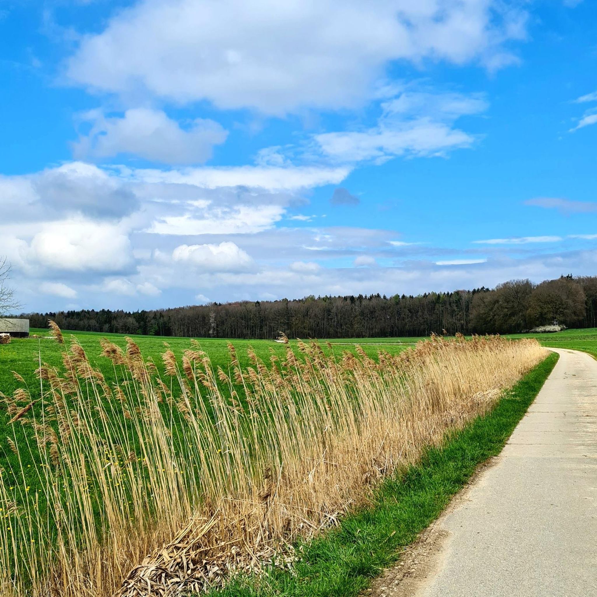
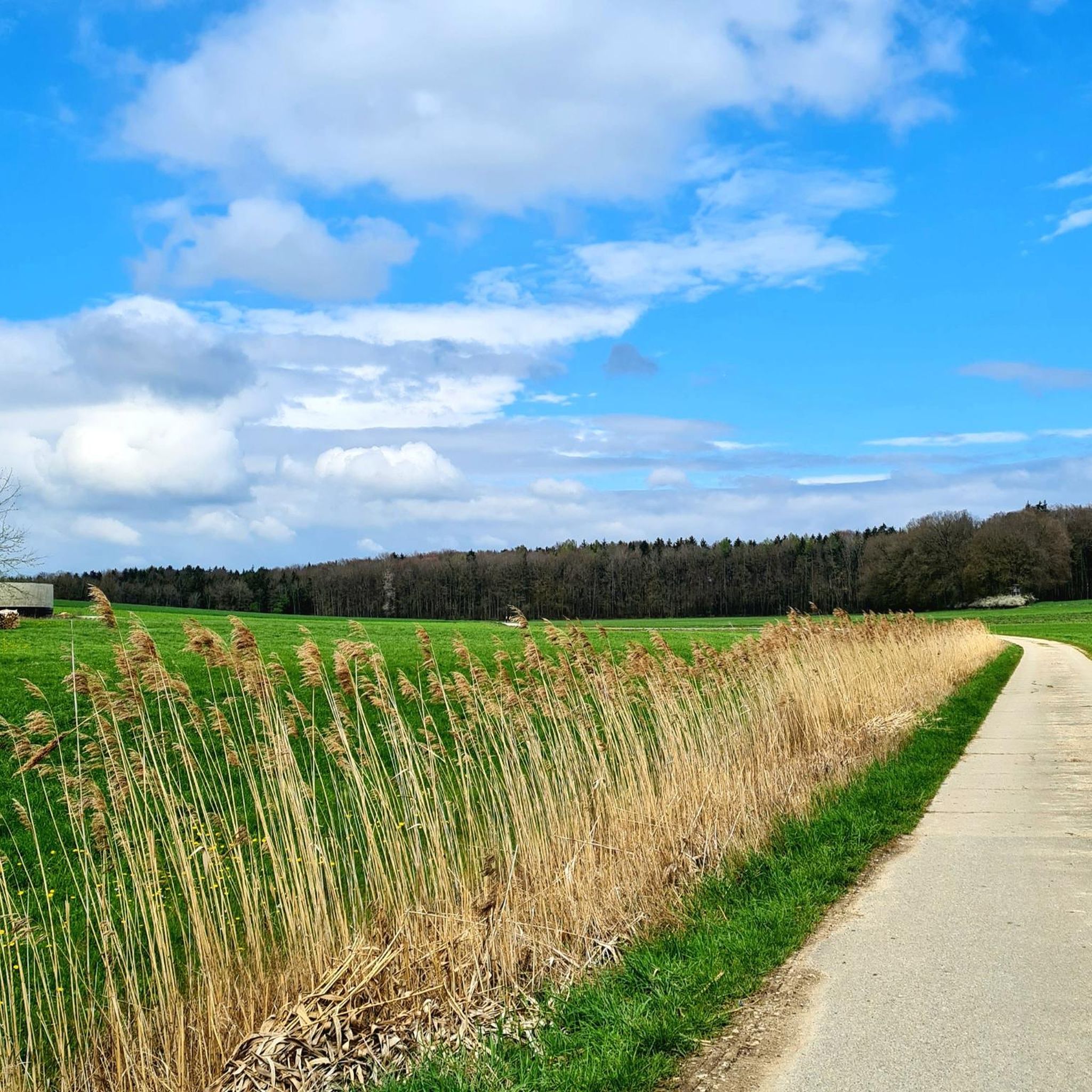
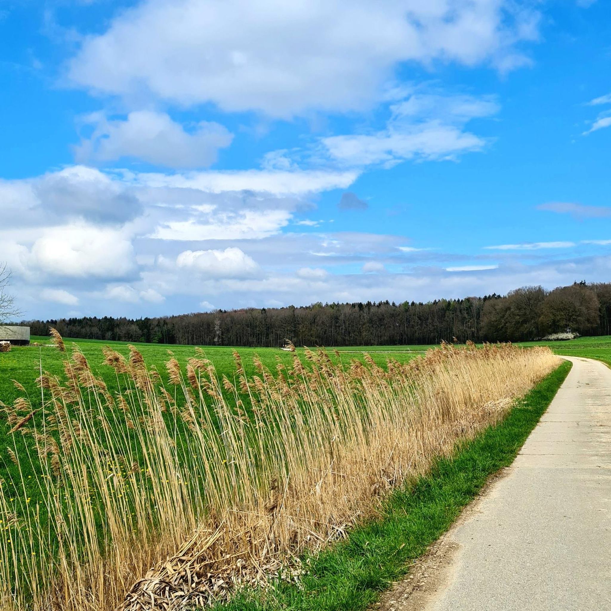
The Rote Buck is a typical, densely wooded crest of the Franconian Jura, extending south of Spielberg Castle in the Herrleinsholz forest area. The hill is located near the small village of Obelshof. The hiking trail, along which one can walk the Rote Buck, is a beautiful forest path through mixed deciduous forest, largely left in its natural state.
0
0

The Efferaberg is the third-highest point in Middle Franconia and a magnificent vantage point. From here, you can enjoy sweeping views over the Franconian landscape.
0
0
The Hörlesbuck in Heidenheim-Degersheim is the sixth highest point in Middle Franconia and offers beautiful views over the rolling hills of the area.
0
0

The Hörlesbuck (635 m above sea level) is one of the highest road crossings on the Hahnenkamm.
0
2

Here is one of the highest peaks of the northern giant. Once a landfill, it is now a contemplative place with happiness on the summit.
1
0

The ascent is worthwhile with an impressive view. The artistic summit cross marks the highest point of the Wachtlerberg.
0
0

Ascent and descent on partly narrow path
0
0
Frequently Asked Questions
What are some mountain peaks with great views around Megesheim?
For impressive panoramic views, consider the Wachtlerberg Summit, which offers an artistic summit cross and a rewarding vista. The Efferaberg is another magnificent vantage point, providing sweeping views over the Franconian landscape. Additionally, the Hörlesbuck (635 m) offers beautiful views over the rolling hills of Middle Franconia.
What is the highest point in the Donau-Ries district?
The highest natural point in the Donau-Ries district is Rauhe Wanne, reaching an elevation of 691 meters. It offers extensive panoramic views over the surrounding landscape.
Are there any unique geological features to explore near Megesheim's peaks?
Absolutely. The entire region is dominated by the Nördlinger Ries, a remarkably well-preserved meteorite impact crater formed approximately 15 million years ago. This UNESCO Global Geopark spans about 25 kilometers and features unique geological formations like suevite rock. You can learn more about its formation at the Rieskrater Museum in Nördlingen.
Where can I find unique natural landscapes or rare plants near the peaks?
The area around Bockberg, located on the southeastern edge of the Ries crater, is known for its dry grassland and heathland vegetation, home to many rare plants. The Nördlinger Ries Geopark itself also boasts diverse landscapes, including juniper heaths and forests, making it a great spot for nature enthusiasts.
Are there any historical or cultural sites near the mountain peaks?
Yes, the region offers several points of historical interest. On the western slope of Blankenstein mountain, you can find an ancient burial ground with 34 grave mounds dating from the Bronze to the Iron Age. The Nördlinger Ries Geopark also contains ancient archaeological sites, such as the Stone Age Ofnet caves and various Roman finds. Many peaks, like Kratzberg and Wachtlerberg Summit, feature summit crosses, which are considered visible signs of local life and reflection.
Are there family-friendly mountain walks around Megesheim?
While specific 'family-friendly' categories aren't listed for all peaks, the 'Bockrundweg' (Bock circular trail) around Bockberg is a great option. It combines natural beauty with educational elements about the Ries crater's formation, including a viewing platform for the Pluto station of the Rieskrater Planet Trail. This trail offers impressive views and is suitable for a family outing.
What outdoor activities can I do near these mountain peaks?
Beyond hiking the peaks, the Megesheim region offers a variety of outdoor activities. You can explore numerous cycling routes, including traffic-free bike rides and MTB trails. There are also several running trails available, ranging from moderate to difficult, allowing you to experience the diverse landscapes of the Donau-Ries district.
What is the best time of year to hike the mountains around Megesheim?
The region is generally pleasant for hiking from spring through autumn. Spring brings blooming flora, while autumn offers vibrant foliage. Summer is also suitable, but it's always advisable to check local weather forecasts, especially for higher elevations, and be prepared for changing conditions.
Are there any easy mountain hikes near Megesheim suitable for beginners?
For those new to mountain hiking, the Roter Buck offers a beautiful forest path through largely natural mixed deciduous forest. While it's a crest of the Franconian Jura, the path itself provides a gentle introduction to the region's elevated areas. The 'Bockrundweg' around Bockberg is also a good option, combining scenic views with educational stops.
What do visitors enjoy most about the mountain peaks and surrounding area?
Visitors particularly appreciate the impressive views from summits like Wachtlerberg Summit and Efferaberg. The unique geological history of the Nördlinger Ries, with its well-preserved meteorite impact crater, also fascinates many. The combination of natural beauty, historical significance, and diverse outdoor activities makes the region highly appealing.
Can I find quiet places for reflection or contemplation on the peaks?
Yes, many of the smaller, significant elevations in the region, such as Kratzberg, feature summit crosses. These spots are often considered places for quiet reflection and offer serene views, providing a peaceful experience away from more bustling areas.
Most popular routes around Megesheim
Most popular attractions around Megesheim

Get inspired with the komoot mobile app


Explore more
See even more amazing summits around Megesheim with these guides:
