Top 3 Waterfalls around Unorganized North Algoma
Best waterfalls around Unorganized North Algoma are found within a vast and rugged region of Ontario, Canada. This area is characterized by pristine wilderness, granite formations, and rivers that create numerous cascades. The landscape offers opportunities for exploring natural wonders and connecting with the environment. Many waterfalls are nestled within provincial parks or are easily accessible from major highways.
Best waterfalls around Unorganized North Algoma
- The most popular waterfalls is Waterfall, a waterfall that features the Seven Sisters Rapids…
Last updated: October 11, 2026
Waterfall
Highlight • Waterfall
Showing Translation
Tip by

Potholes Provincial Nature Reserve
Highlight • Natural Monument
Tip by

Sign up now to discover places like this
Get recommendations on the best single tracks, peaks, & plenty of other exciting outdoor places.
Chutes Falls
Highlight • Waterfall
Showing Translation
Tip by
Chippewa Falls
Highlight • Waterfall
Showing Translation
Tip by
Baldhead River Falls
Highlight • Waterfall
Showing Translation
Tip by
Sign up for free to discover even more waterfalls around Unorganized North Algoma.
Already have an account?
Start today with a free account
Your next adventure awaits.


Other adventures around Unorganized North Algoma

Tips from the Community

Potholes Provincial Park is located about 50 kilometers east of Wawa on Highway 101, the road to Timmins, the mining town in northeastern Canada. The nature reserve on the Kinniwabi River was founded in 1985 to protect the geological heritage. (Visit on June 3, 2026) https://www.ontarioparks.ca/park/potholes
0
0
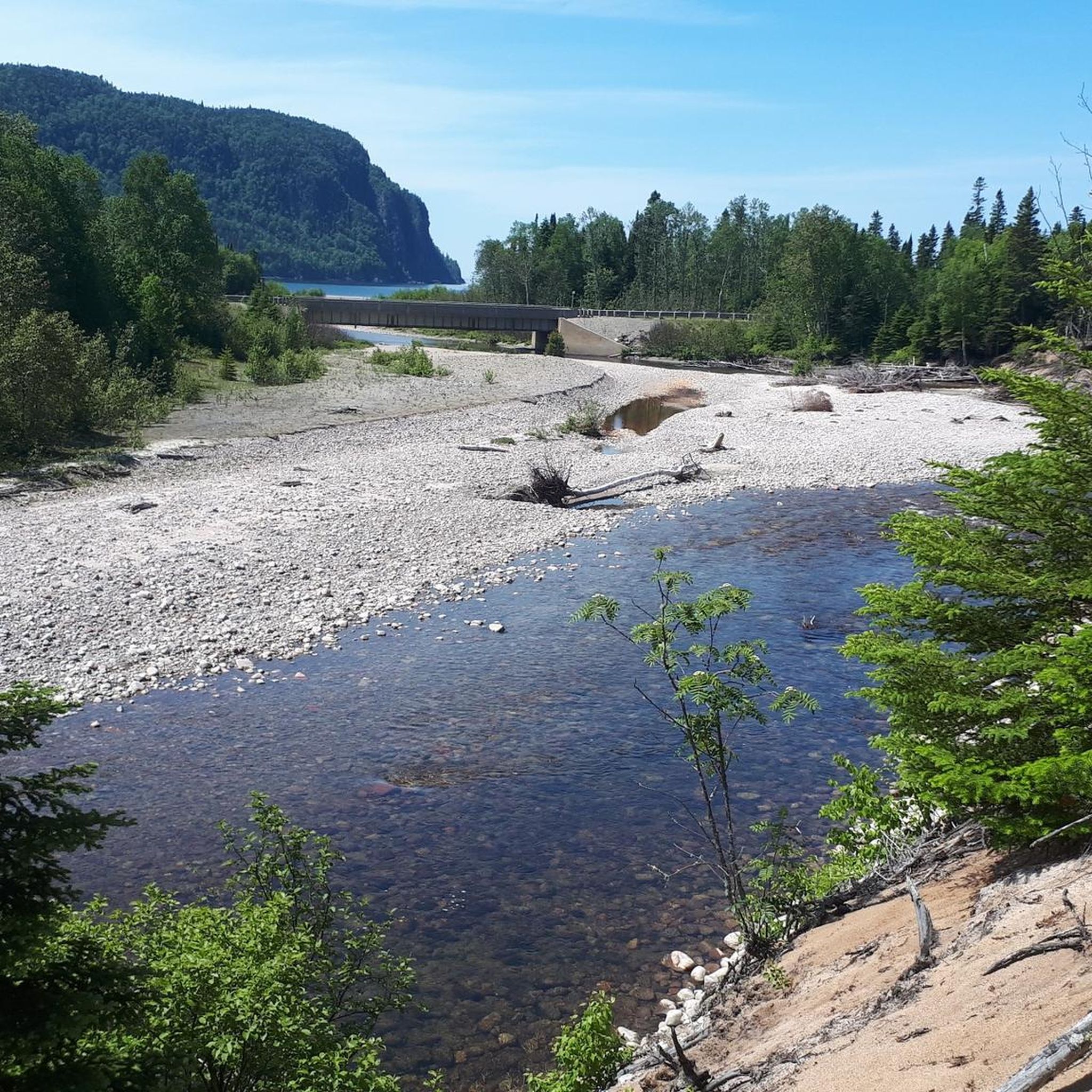
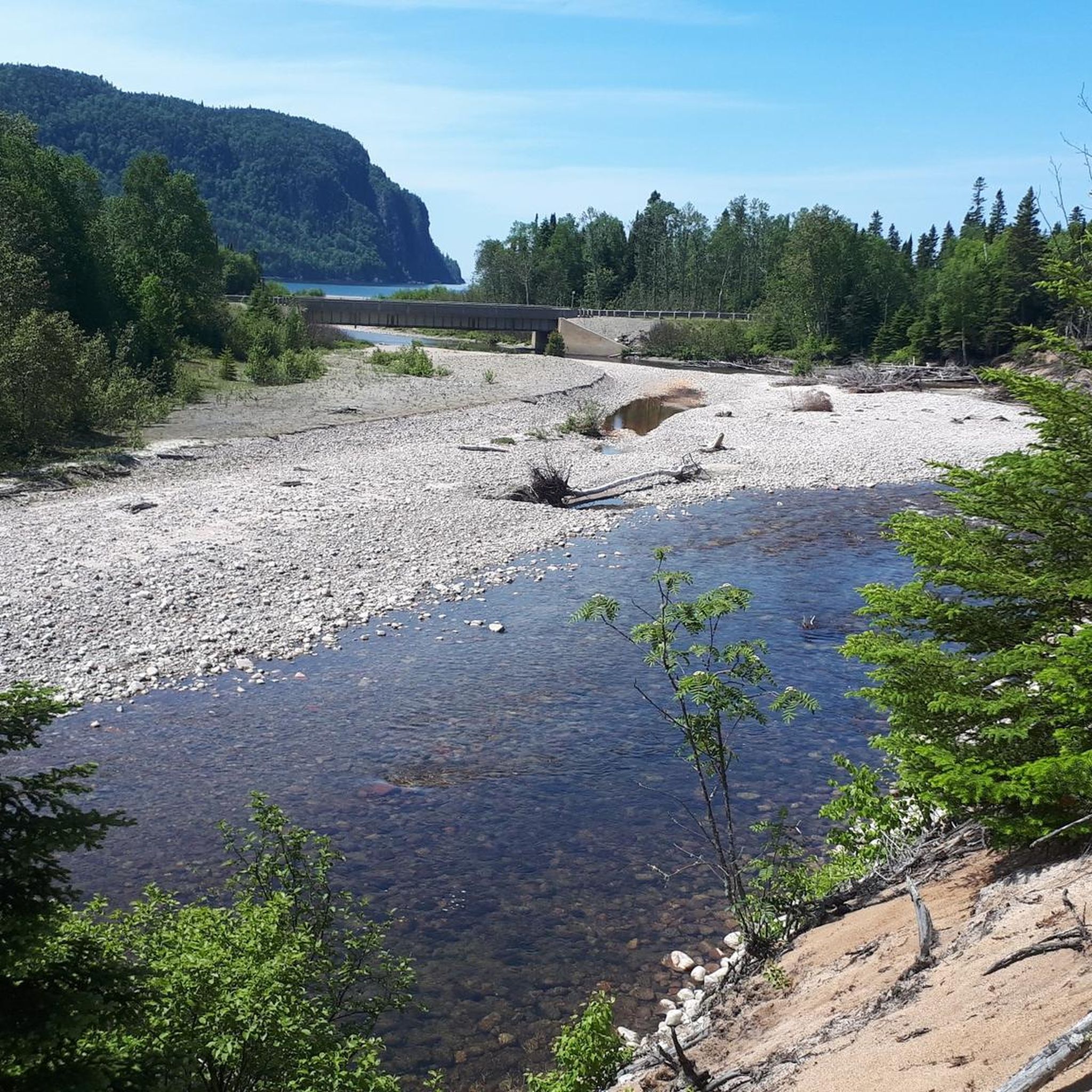
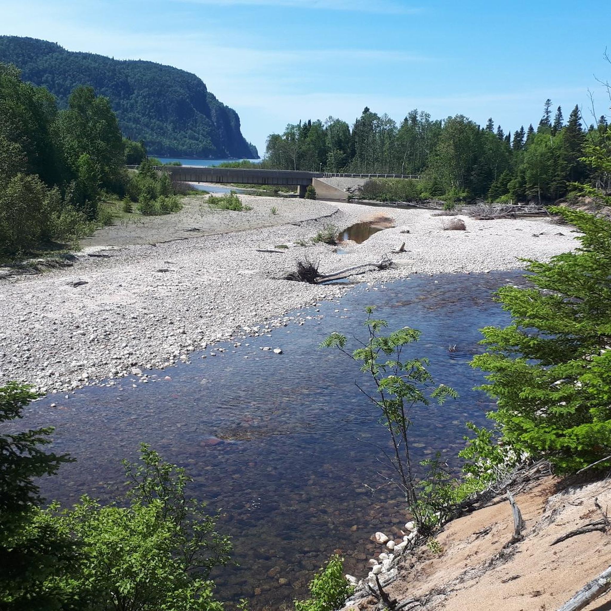
A few hundred meters before its mouth into Lake Superior, the Baldhead River drops about 5 meters down several tiers between boulders. The river is split in two at this point, separated by a rocky island, thus creating two distinct waterfalls. On our hike on the Orphan Lake Trail on May 31, 2026, we pass by both waterfalls; due to the drought, the waterfall on the left arm to the west has little water. (Visit on May 31, 2026) https://gowaterfalling.com/waterfalls/baldheadriver.shtml
0
0
A few hundred meters before the Chippewa River flows into Lake Superior, the water drops about 10 meters over several stages. The Chippewa Falls can be seen when driving on the Trans-Canada Highway (Highway 17). A stop in the large free parking lot is recommended; there are restrooms and picnic areas. The walk to the waterfall only takes a few minutes. (Visit on May 28, 2026) This place is considered the middle of the Trans-Canada Highway; this road runs from St. Johns in Newfoundland to Victoria on Vancouver Island in British Columbia and is 7,821 kilometers long. https://lakesuperiorcircletour.info/location/chippewa-falls/
0
0
The Seven Sisters Rapids are located upstream of Chutes Falls. Walking along the Twin Bridges Trail offers the best view of the rapids; in addition to the platform at Chutes Falls, there are two other excellent viewpoints upstream. From both bridges, you can also get a view of the rapids in the Aux Sables River. (Visit on May 25, 2026) https://waterfallsofontario.com/seven-sisters-rapids.php
0
0
The waterfall on the Aux Sables River in Chutes Provincial Park has no official name; it is known as Chutes Falls, Main Falls, or The Chutes. The waterfall gets its name from a historic log chute (chutes) built in the early 1900s to allow logs to be run over the rocks in the Aux Sables River without damage. From the viewpoint on the river below the campground, you have an excellent view of the waterfall and the wide Aux Sables River downstream with a sandy beach. (Visited May 25, 2026)
0
0

Potholes Provincial Nature Reserve is a hidden geological gem located about 35 minutes east of Wawa, where the boreal forest meets the Kinniwabi River. The park's main draw is its collection of distinctive potholes, cylindrical pits carved into the bedrock by glacial meltwaters over 10,000 years ago, that now form a series of miniature waterfalls and rock pools. The park is small, but there is a picnic area with toilets at the trailhead.
0
0
Frequently Asked Questions
What are some easily accessible waterfalls in Unorganized North Algoma?
For roadside convenience, Chippewa Falls is located directly on Highway 17, offering a 25-meter drop and a short walk from a large parking area with restrooms and picnic spots. It's beautiful in all seasons. Chutes Falls in Chutes Provincial Park also offers easy access with a viewpoint below the campground.
Are there any waterfalls that are particularly impressive in terms of height or volume?
Yes, Chippewa Falls is impressive, especially during the spring thaw. Aubrey Falls, located in Aubrey Falls Provincial Park, is approximately 53 meters high and cascades over more than seven areas of beautiful granite formations, making it the largest waterfall in the Lake Huron watershed. The Agawa Canyon Waterfalls, including Bridal Veil Falls at 68 meters, are also notable for their height.
What kind of hiking opportunities are available near these waterfalls?
Many waterfalls offer nearby trails. For instance, Chippewa Falls has hiking trails leading to the top for different perspectives. The Pancake Falls Trail is a circular route through dense forests. For a more challenging experience, the 25-meter Agawa Falls in Lake Superior Provincial Park requires a 12-kilometer hike along the Towab Trail, often an overnight backpacking trip. You can find more hiking options in the region by exploring the Hiking around Unorganized North Algoma guide.
Are there family-friendly waterfalls or areas suitable for a picnic?
Absolutely. Chippewa Falls has a large parking lot with restrooms and picnic areas, making it ideal for families. Potholes Provincial Nature Reserve, while small, features a picnic area with toilets at the trailhead, perfect for a family stop to see its unique geological formations and miniature waterfalls.
What is the best time of year to visit the waterfalls in Unorganized North Algoma?
Many waterfalls, like Chippewa Falls, are beautiful in all four seasons. However, the spring thaw typically brings the highest water flow, making the cascades particularly impressive. Visiting during the fall offers stunning autumn foliage as a backdrop to the waterfalls.
Can I see multiple waterfalls in one trip, perhaps by train?
Yes, the Agawa Canyon Tour Train provides a unique way to experience several waterfalls. This one-day rail excursion takes you to Agawa Canyon Wilderness Park, where you can explore Black Beaver Falls, Bridal Veil Falls, and Otter Creek Falls on foot via well-maintained nature trails.
Are there any waterfalls with historical significance or unique geological features?
Aubrey Falls is steeped in history and features impressive granite formations. Potholes Provincial Nature Reserve is a geological gem, showcasing distinctive cylindrical pits carved into bedrock by glacial meltwaters over 10,000 years ago, forming miniature waterfalls and rock pools. Chutes Falls is named after a historic log chute built in the early 1900s.
What other outdoor activities can I do near these waterfalls?
Beyond waterfall viewing and hiking, the region offers various outdoor activities. You can explore more hiking trails, including easy and moderate options, by checking out the Hiking around Unorganized North Algoma guide. For mountain biking enthusiasts, there are trails like the Thayer Reservoir loops, detailed in the MTB Trails around Unorganized North Algoma guide.
Where can I find waterfalls that are less known or offer a more secluded experience?
While not entirely secluded, Pancake Falls, located north of Pancake Bay Provincial Park, offers an idyllic atmosphere nestled in dense forests. Its circular trail provides a peaceful experience away from the more heavily trafficked spots. Potholes Provincial Nature Reserve is also a smaller, less crowded park with unique features.
What do visitors enjoy most about the waterfalls in Unorganized North Algoma?
Visitors frequently appreciate the easy accessibility of some waterfalls, like Chippewa Falls, which makes them convenient stops. The sheer power and beauty of larger falls like Aubrey Falls, with its multiple cascades, are also highly praised. The unique geological formations at Potholes Provincial Nature Reserve and the serene forest setting of Pancake Falls are also highlights for many.
Are there any waterfalls that are particularly wide or have unique flow patterns?
High Falls, also known as Magpie Falls or Scenic High Falls, near Wawa, is notable for its width, measuring 38 meters across and 22.8 meters high. Pancake Falls flows over low steps for several hundred meters, creating a unique, extended cascade rather than a single dramatic drop.
Most popular routes around Unorganized North Algoma
Most popular attractions around Unorganized North Algoma

Get inspired with the komoot mobile app


Explore more
Happy to travel a little further afield? Then browse these guides for the best waterfalls around Unorganized North Algoma:
