The best walks and hikes around Area E (Moberly Lake/Sukunka Valley)
4.7
(3)
47
hikers
8
hikes
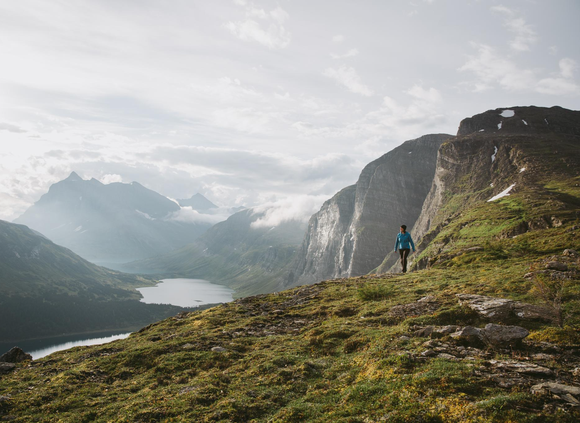
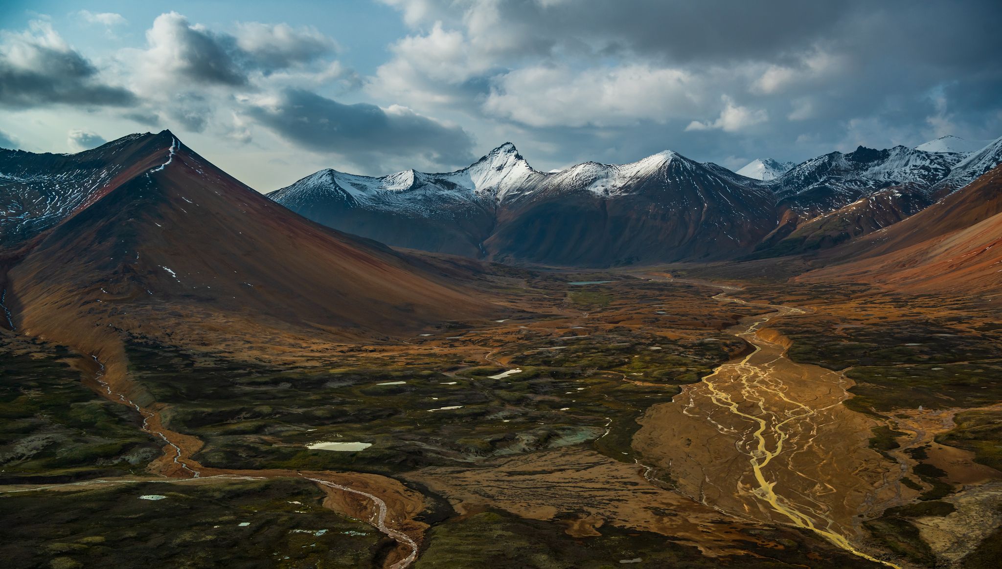
Hiking around Area E (Moberly Lake/Sukunka Valley) offers diverse landscapes on the boundary between the Rocky Mountain foothills and the Peace plateau. The region is characterized by the Sukunka River carving through the terrain, creating waterfalls and rapids, and the broad, shallow valley of Moberly Lake. Hikers will find a mix of boreal white and black spruce forests, aspen, cottonwood, and poplar stands, alongside open areas offering views of the Rocky Mountains. The terrain includes river valleys, lakeside paths, and…
Last updated: October 12, 2026
5.0
(1)
14
hikers
2.15km
00:44
30m
30m
Moderate hike. Great for any fitness level. Mostly accessible paths. Sure-footedness required.
5.0
(1)
10
hikers
2.46km
00:43
70m
70m
Easy hike. Great for any fitness level. Easily-accessible paths. Suitable for all skill levels.

6
hikers
3.65km
01:04
100m
100m
Easy hike. Great for any fitness level. Easily-accessible paths. Suitable for all skill levels.
9
hikers
11.1km
03:26
380m
380m
Moderate hike. Good fitness required. Easily-accessible paths. Suitable for all skill levels.
8.44km
02:18
120m
120m
Moderate hike. Good fitness required. Easily-accessible paths. Suitable for all skill levels.
Get access to more routes and recommendations from other explorers.
Already have an account?
Our route recommendations are based on thousands of hikes, rides, and runs completed by other people on komoot.
Start today with a free account
Your next adventure awaits.
Popular around Area E (Moberly Lake/Sukunka Valley)
Other adventures around Area E (Moberly Lake/Sukunka Valley)


Tips from the Community

Quality Falls Trail is a short out-and-back route that winds through forests of tall coniferous trees, birch, and poplars. The trail is a straightforward and well-maintained dirt path. The forest is beautiful, and the hike ends with exciting viewpoints looking over the beautiful 7-metre Quality Falls. For the more adventurous, a short but steep set of stairs leading to the canyon floor right in front of the waterfall. This trail is great for families and there is a dirt parking area on Heritage Highway with a trailhead sign and map.
0
0
Quality Falls Trail ends with a set of stairs descending down to Quality Falls. This extra venture gets hikers up close and personal with the falls, but be careful as after the stairs the boulders you walk on can be wet and slippery. There is a sign posted at the bottom of the stairs posted in a tree about local birds and their activity.
0
0
Here, under a thick forest, Quality Falls Trail opens up into a picnic area around the upper viewpoint. There are benches and wooden railings around the lookout point.
0
0
Do you see it? The rock formations here look like ships sitting in a shipyard. From here there are exceptionally nice views of the towering sandstone cliffs and surrounding forests.
0
0
The Prow stands above the forest below, a massive, sheer sandstone cliff that rises from to reveal breathtaking views of the Peace River Valley and the distant Rocky Mountains. The Prow is a favourite destination for hikers, climbers, and photographers, and is part of the Tumbler Ridge UNESCO Global Geopark, a designation that highlights its geological and natural historical significance. Be careful as you walk out on the prow, trail transforms to a thin narrow knifes walk with steep cliffs on both sides. If you have a fear of heights, hang back a little ways and enjoy the views from there.
0
0
The Shipyard and Titanic Trail is home to unique rock formations, like sandstone cliffs and hoodoos, one of them resembling the bow of the ill-fated Titanic. The formations were created over millions of years by erosion, revealing vertical walls and layered rock structures that look like a ship’s hulls, like ships sitting in a shipyard. The walk includes interpretive signs that explain the area’s fascinating natural history.
1
0

Perfect scenery and a great setting with the lake.
1
0

The Bergeron Falls Trail is most famous for leading you to Bergeron Falls, located near Tumbler Ridge. The trail will lead you through beautiful aspen and pine forests and provide great views of the Murray River valley and the majestic Hart Range of the Rocky Mountains.
0
0
Frequently Asked Questions
How many hiking trails are there in Area E (Moberly Lake/Sukunka Valley)?
The region offers a selection of 6 hiking trails, ranging from easy strolls to more moderate adventures. You'll find 4 easy routes and 2 moderate routes to explore.
Are there any easy hiking trails suitable for beginners or families?
Yes, Area E has several easy trails perfect for beginners and families. The Boulder Gardens Trail is an easy 3.65 km hike suitable for all fitness levels. Another great option is the Trails of Fish Creek, which is about 4.8 km long and offers a gentle experience. The Murray Canyon Overlook Trail is also an easy 5.5 km route.
Can I find trails with waterfalls in the region?
Absolutely! The Sukunka Valley is known for its impressive waterfalls. You can hike to Bergeron Falls, a moderate 11 km trail. Another notable option is the Kinuseo Falls Trail, an 8.4 km moderate hike that leads to the stunning Kinuseo Falls. Sukunka Falls Provincial Park also features three sets of falls, though hiking there is more rugged.
What kind of wildlife might I encounter while hiking?
Area E is rich in wildlife. In Sukunka Falls Provincial Park, you might spot moose, black bears, lynx, wolves, hares, and various birds like loons and bald eagles. The Moberly Lake Provincial Park area is also home to moose, black bears, and over 25 species of birds, making it excellent for wildlife viewing.
Are there any trails that offer great viewpoints or scenic overlooks?
Yes, the Moberly Lake trail system, including the Big Rock Trail (also known as Medicine Woman Trail), offers excellent vistas of Moberly Lake and, at higher elevations, the Rocky Mountains. The Big Rock Trail specifically features two distinct lookouts along a cliff face.
What is the best time of year to go hiking in Area E?
The best time to hike in Area E is generally during the warmer months, from late spring through early autumn. During summer, some trails like the Big Rock Trail can become overgrown, and creek crossings might be challenging due to spring runoff or heavy rain. Always check local conditions before heading out.
Are there any loop hikes available?
The Moberly Lake trail system offers various circuits from 1 to 5 hours in length. The Big Rock Trail, when combined with the Walker Trail, forms an approximately 8 km loop, providing a comprehensive experience of the area's scenery.
Is it possible to hike in the winter?
While the region offers stunning winter scenery, many trails are not specifically developed for winter hiking. The Sukunka Falls Provincial Park, for instance, offers a more rugged, wilderness experience, which would be amplified in winter conditions. It's advisable to be well-prepared for snow and ice, and to check local conditions and accessibility before attempting winter hikes.
Are the trails in Area E (Moberly Lake/Sukunka Valley) dog-friendly?
Many outdoor areas in British Columbia are dog-friendly, but specific regulations can vary by park or trail. While not explicitly stated for all trails, it's common for dogs to be allowed on leash in provincial parks and on many hiking trails. Always check the specific rules for the park or trail you plan to visit to ensure your dog is welcome.
What unique natural features define the hiking experience in this region?
The region is characterized by its location on the boundary between the Rocky Mountain foothills and the Peace plateau, offering diverse landscapes. Key features include the dramatic Sukunka River carving through the terrain with its impressive waterfalls, the expansive Moberly Lake known for its sunsets, and dense boreal forests of spruce, aspen, cottonwood, and poplar. Dinosaur tracks and plant fossils have also been found in the Sukunka River canyon, adding a unique historical element.
Are there any places to explore near the hiking trails?
Beyond the trails, you can visit the Tumbler Ridge Museum for a historical perspective. The region is part of the Tumbler Ridge UNESCO Global Geopark, which offers various attractions. You can also explore the Murray River or enjoy the serene environment Along Fish Creek.
Most popular routes around Area E (Moberly Lake/Sukunka Valley)
Most popular attractions around Area E (Moberly Lake/Sukunka Valley)

Get inspired with the komoot mobile app


Explore more
Browse the best Hikes in other regions.
