Top 10 Natural Monuments in District de Porrentruy
Best natural monuments in District de Porrentruy showcase the region's diverse geological formations and natural beauty. Located in the Swiss Jura, this area features a landscape shaped by ancient geological processes, including significant cave systems and tranquil water bodies. Visitors can explore a variety of natural monuments that highlight the unique relief District de Porrentruy offers. These sites provide insight into both natural history and the region's rich biodiversity.
Best natural monuments in District de Porrentruy
- The most popular natural monuments is Lucelle Lake, a lake located on the border with France. Its banks are characterized by reeds and trees, providing a habitat for waterfowl like ducks and grey herons.
- Another must-see spot is Grande Roche Viewpoint, a viewpoint situated on a ridge. It provides views of the Ajoie valley and the Vosges from an elevation of approximately 850 meters.
- Visitors also love Doubs, a river that forms part of the border with France. This section of the river is known for its unique border characteristics and natural surroundings.
- District de Porrentruy is known for its lakes, rivers, viewpoints, and cave systems. These natural monuments offer a variety of experiences, from geological exploration to wildlife observation.
- The natural monuments in District de Porrentruy are appreciated by the komoot community, with more than 250 upvotes and 90 photos shared across 10 highlights.
Last updated: July 9, 2026
Lucelle Lake
Highlight • Lake
Translated by Google •
Tip by

Doubs
Highlight (Segment) • River
A special feature is the border of the Doubs along the French-Swiss border. Unlike in rivers otherwise common, the border does not run in the middle of the river, but the Doubs belongs there entirely to France. This resulted from treaties between the Prince-Bishop of Basel and the King of France.
Flowing west from Saint-Ursanne, the Doubs returns to France and flows below Saint-Hippolyte, where it takes on Dessoubre on the left, through a Montagnes du Lomont valley north to Audincourt. Here he takes right after the Allaine, then turns in its lower reaches to the southwest and strives over Baume-les-Dames, Besançon and Dole, where he takes on the left Loue, the Saône, in which he in 170 m height in Verdun-sur-le-Doubs about 16 km northeast of Chalon-sur-Saône opens.
Source: Wikipedia
Translated by Google •
Tip by

Sign up now to discover places like this
Get recommendations on the best single tracks, peaks, & plenty of other exciting outdoor places.
Sign up for free
Porrentruy Botanical Garden
Highlight • Natural Monument
You can find more information at: jurassica.ch/fr/Jardin-botanique.html
Translated by Google •
Tip by

Dinosaur Tracks of Pommerat
Highlight • Natural Monument
Translated by Google •
Tip by

Milandre Caves
Highlight • Cave
Showing Translation
Tip by

Grande Roche Viewpoint
Highlight • Viewpoint
Translated by Google •
Tip by

Source of the Largue
Highlight • River
Translated by Google •
Tip by

Trou du Creugenat Karst Sinkhole
Highlight • Natural Monument
The water follows the Courtedoux plain and flows into the Allaine at Porrentruy.
When dry, the depth of the hole is clearly visible - simple steps lead to the bottom, and a thick rope helps you climb up or down. There is a water level gauge on the side of the rock walls and you can clearly see the mud traces of the last floods.
In the immediate vicinity of the hole there is also a picnic area with a table and benches, as well as an improvised fire pit.
A meadow path leads from the bike path to the hole.
Translated by Google •
Tip by

View of the Doubs Valley Between Les Grottes and Vaufrey
Highlight (Segment) • Viewpoint
Translated by Google •
Tip by

View of Les Rangiers
Highlight • Viewpoint
Translated by Google •
Tip by

Sign up for free to discover even more natural monuments in District de Porrentruy.
Sign up for free
Already have an account?
Start today with a free account
Your next adventure awaits.
Login or Signup
Popular around District de Porrentruy

Trans Swiss Trail – Hiking across Switzerland
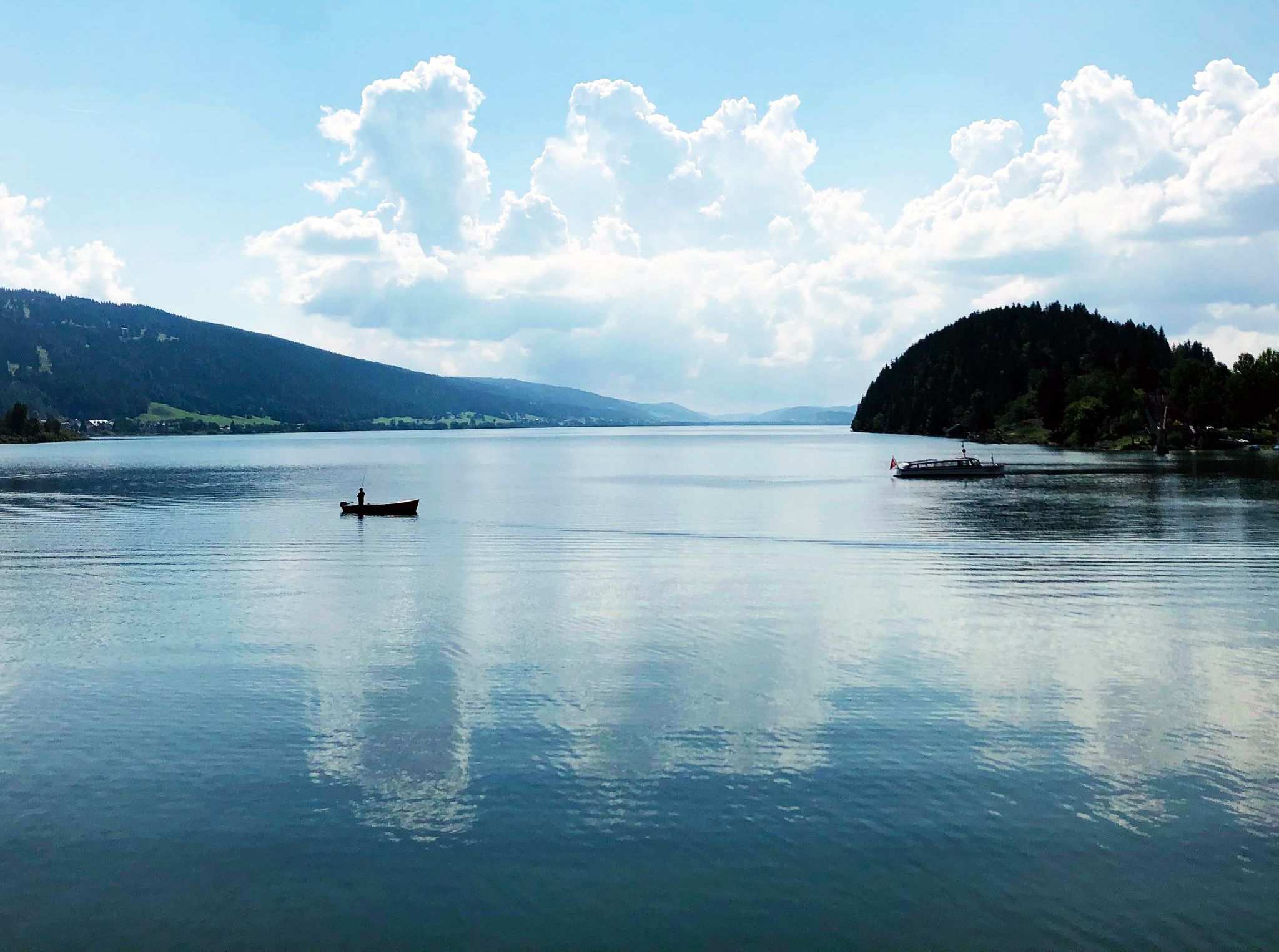
Cycling the Jura from Basel to Lake Geneva in 6 stages
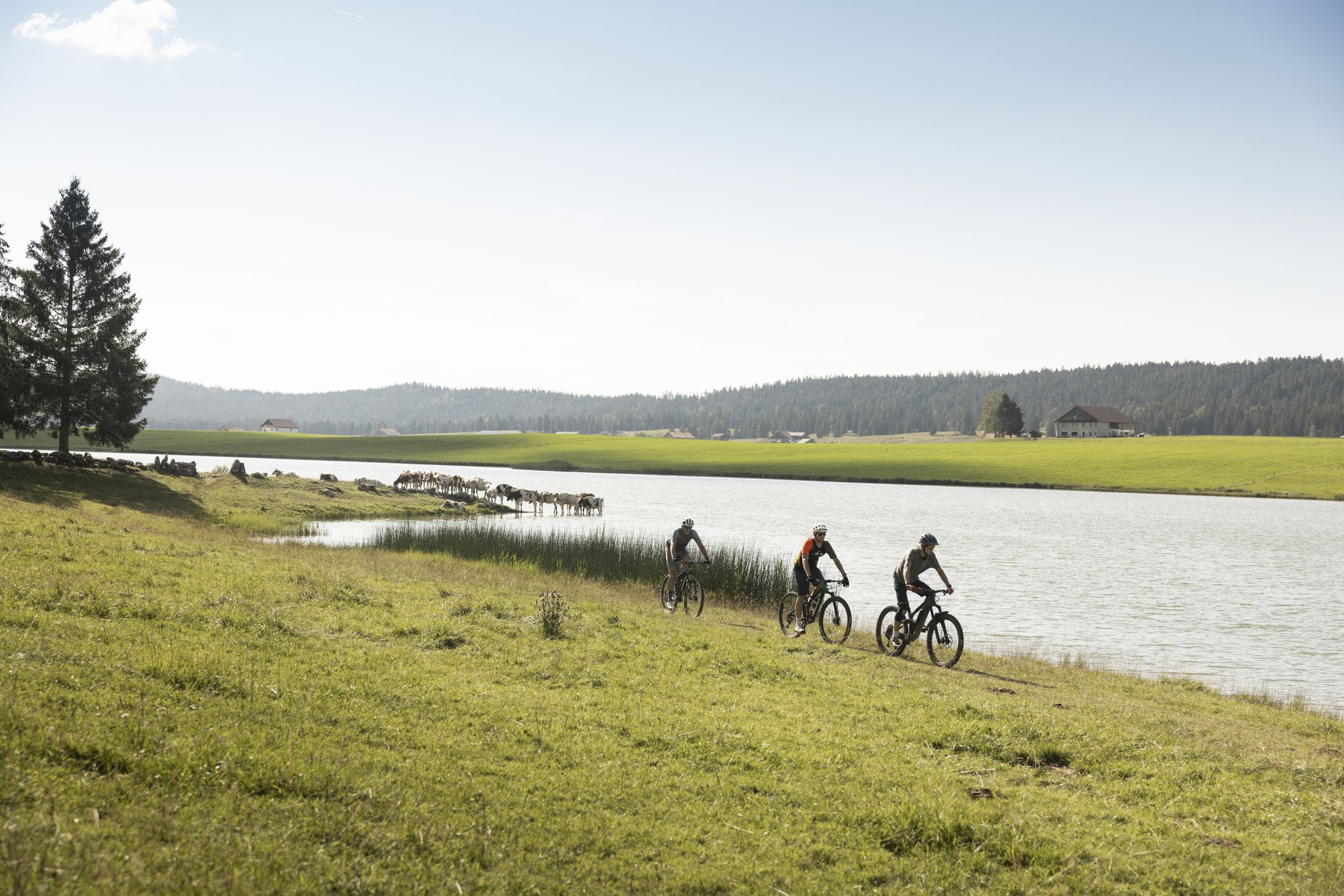
Cycling in the Jura & Three-Lakes Region
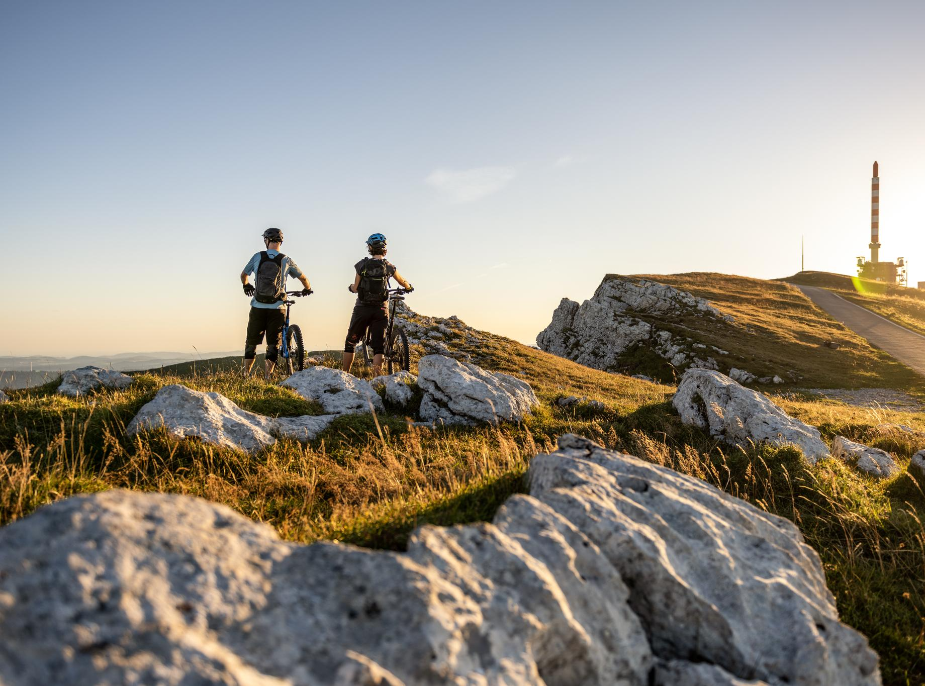
MTB rides in the Jura & Three-Lakes region
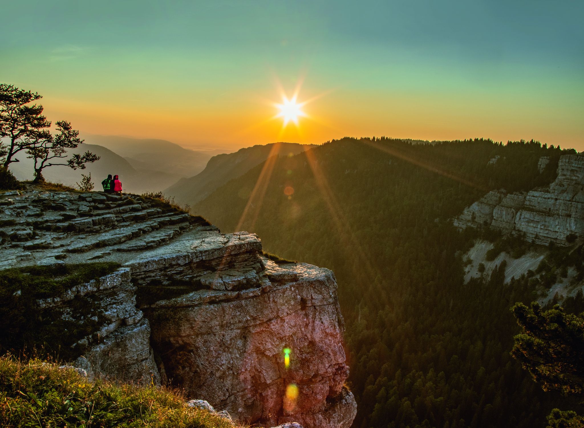
Ride through the magnificent Swiss Jura – La Trans Jurassienne
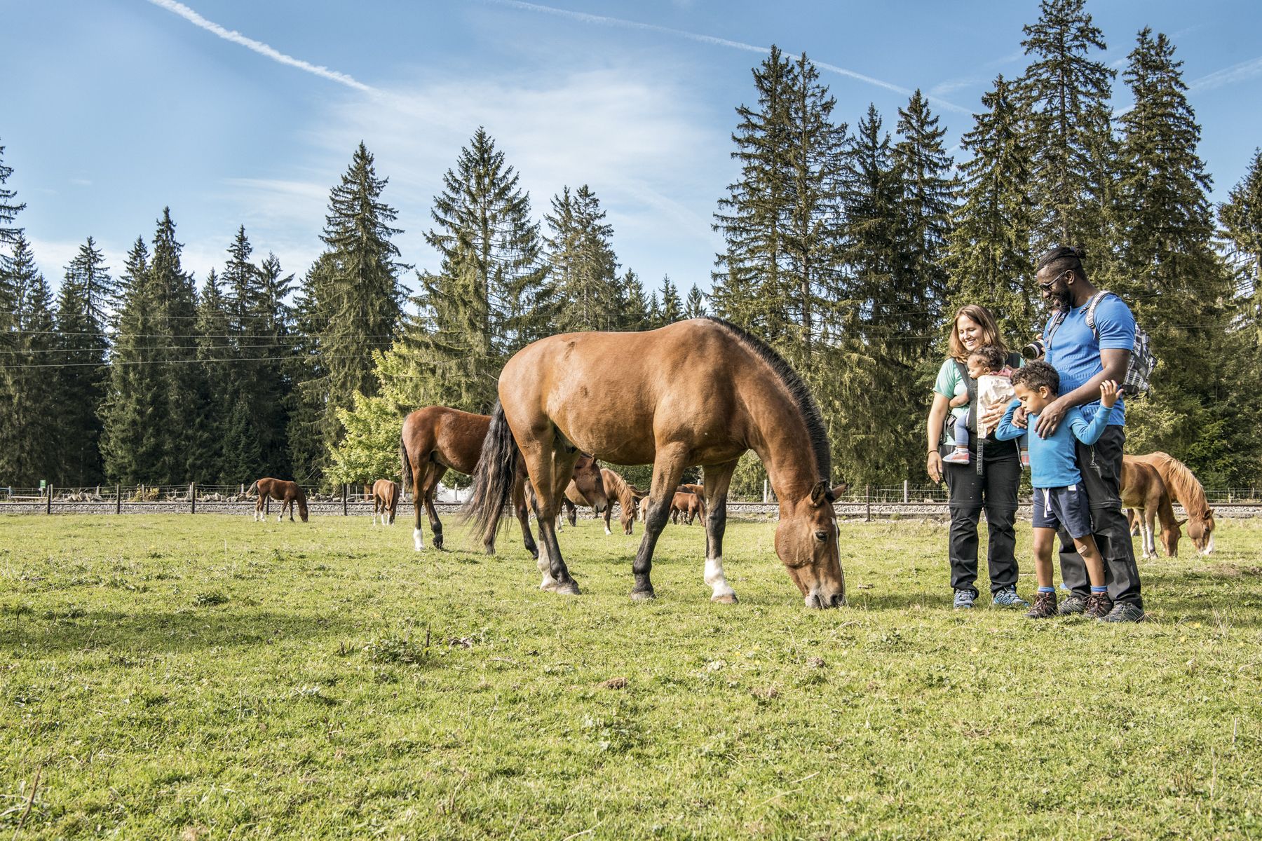
Jura — Visit the farms of organic pioneers

Schottergenuss und Gaumenschmaus – Grand Gourmet Rides durch die Schweiz
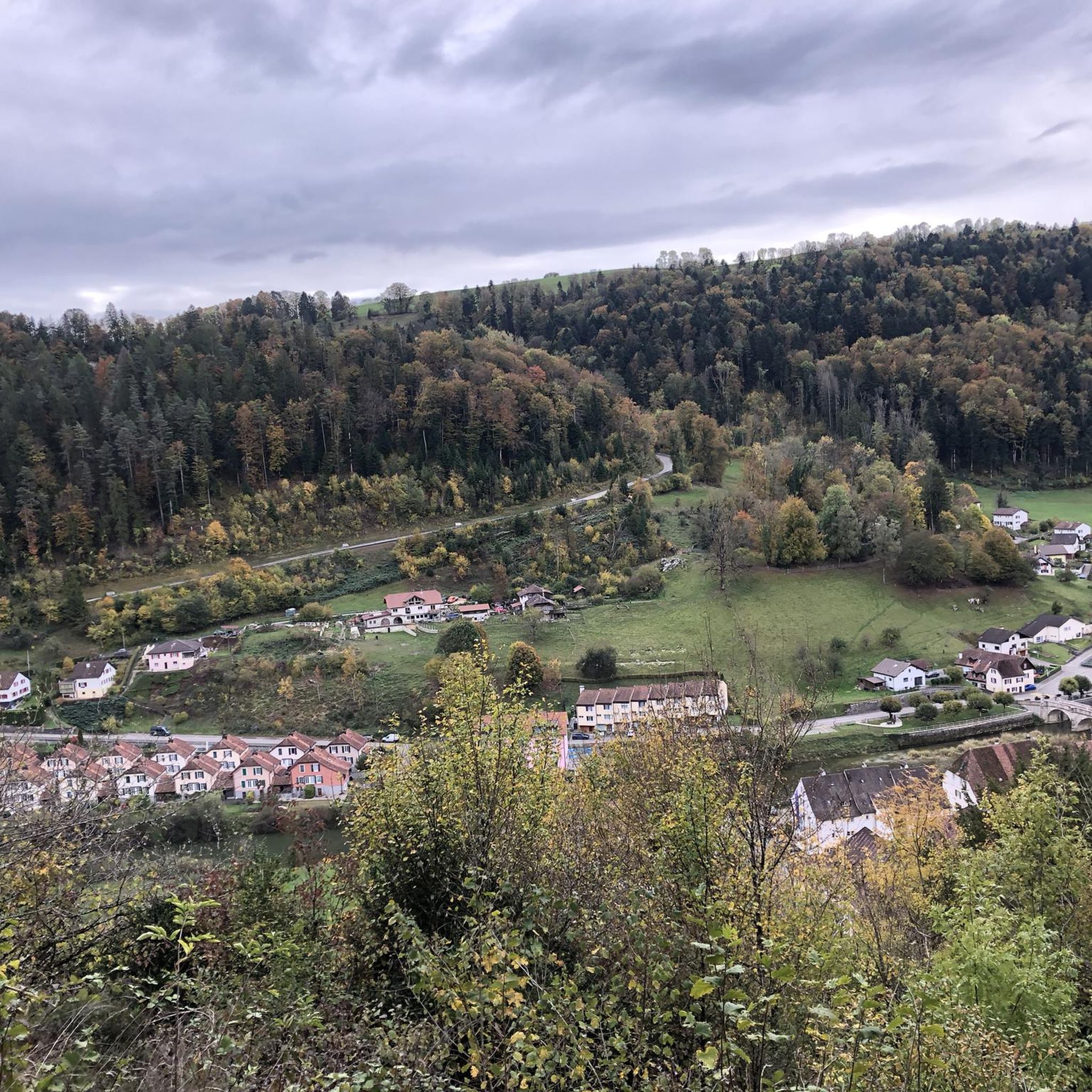
Hiking in District de Porrentruy
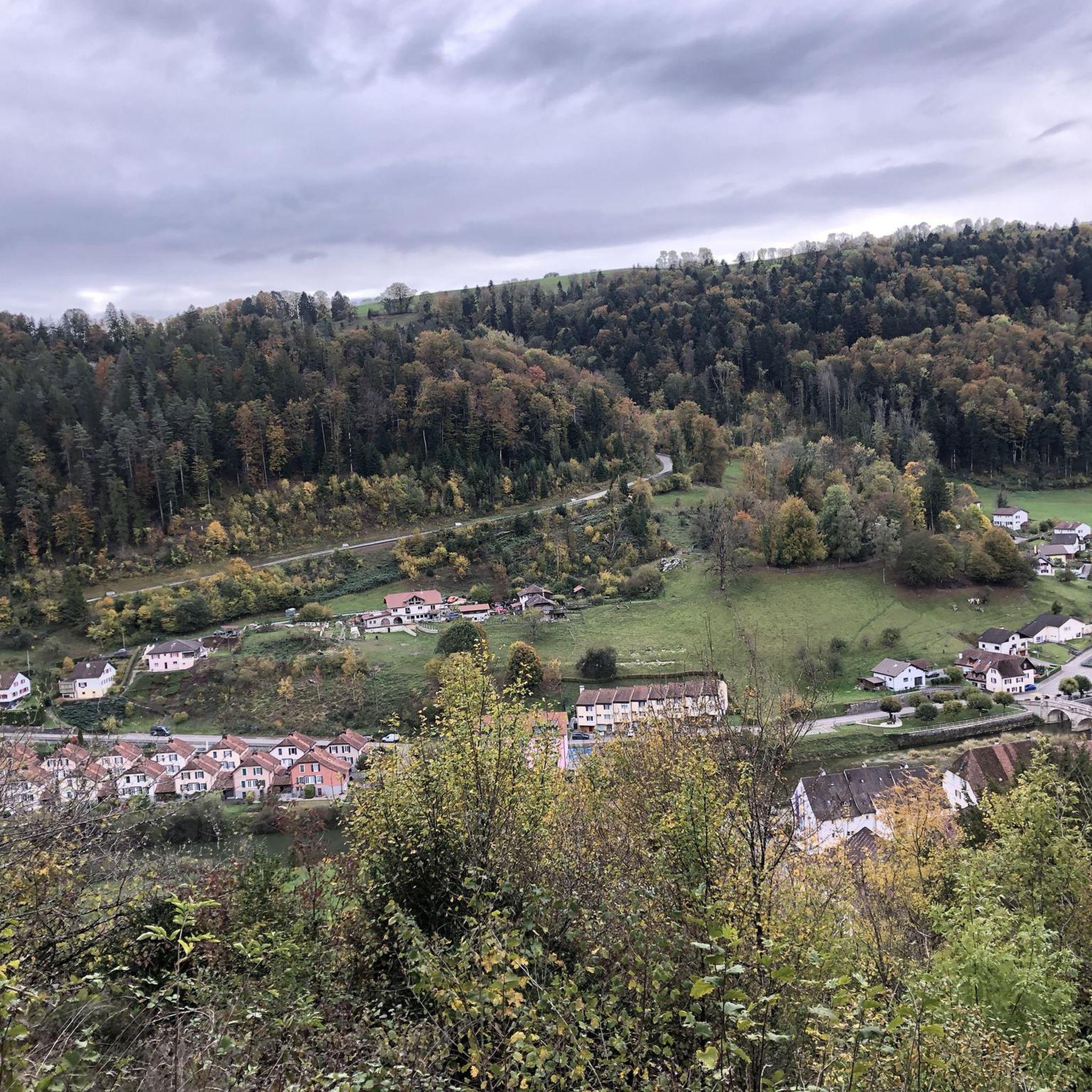
MTB Trails in District de Porrentruy
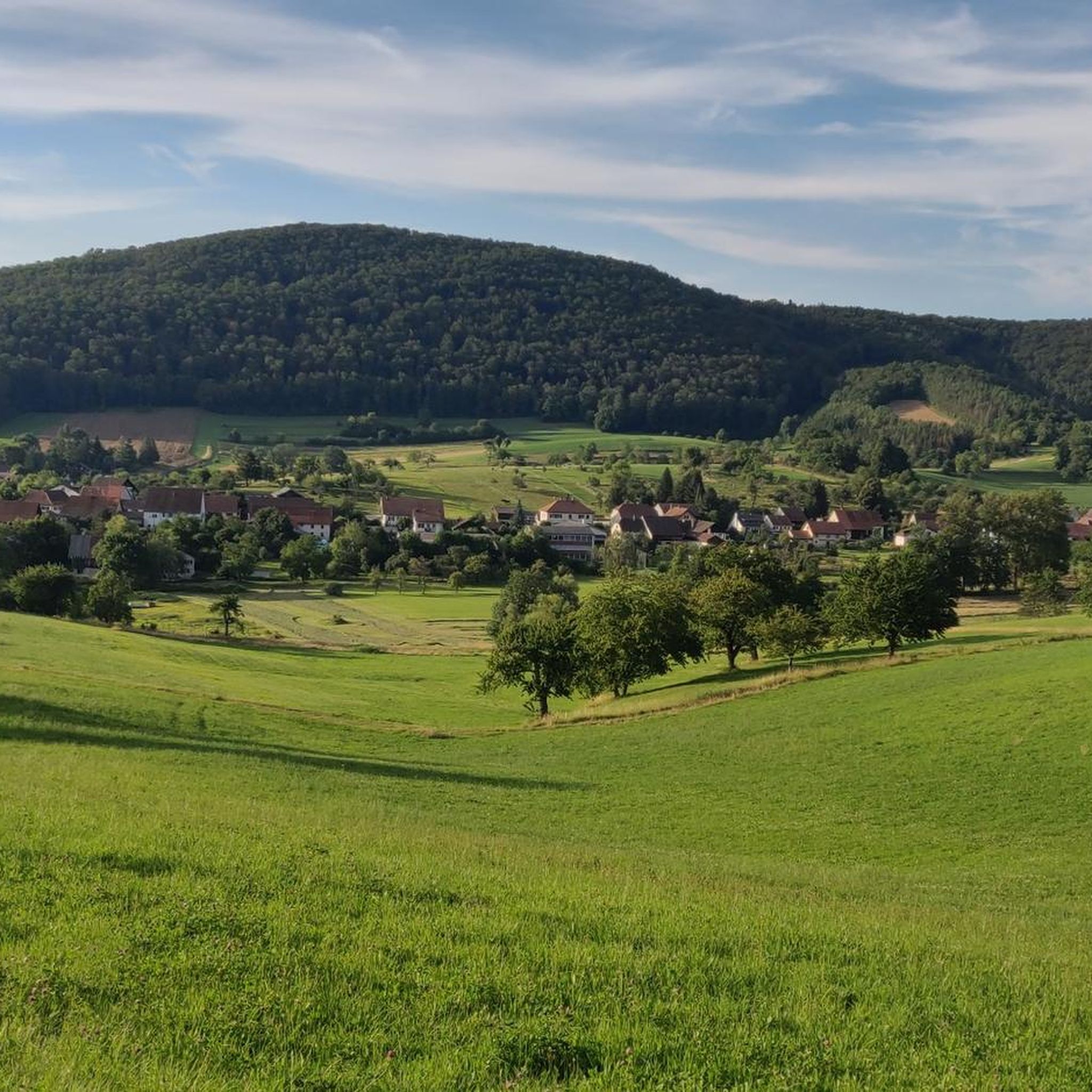
Cycling in District de Porrentruy
Other adventures in District de Porrentruy


Tips from the Community

Depending on the water level, the lower entrance of the cave can be explored more or less dry.
1
0

A beautiful view. The rest area is also frequently used by pilgrims on the Way of St. James.
1
0


Idyllically situated at the end of the Lützeltal.
0
0

Beautiful climb with a clear view of the Doubs valley... Magnificent!
0
0

Impressive grotto under Millandre The active, vadose cave has been scientifically well studied. It is located in subhorizontal, fossil-bearing limestone. The cave river Milandrine flows through it, has a measured length of 10,520 meters and a vertical extension of 135 meters. https://de.wikipedia.org/wiki/Grotte_de_Milandre
0
2

While the prosperous times in the town of Lucelle are over, the Lac de Lucelle is a nature reserve that captivates with its peace, idyll and beauty. The lake can be easily walked around on a well-developed nature trail, and there are many benches where you can watch the ducks and fish in the lake.
1
1

The Source du Doubs is a powerful karst spring in a heavily karstified area of the Jura Mountains. It is located near Mouthe, in the Haut-Jura Regional Nature Park, at an altitude of 937 m at the foot of the wooded, up to 1419 m high Mont Risoux mountain range, which marks the border between France and Switzerland. The Doubs rises from a cave in the rock from a small, approximately five-meter-deep spring basin. The spring discharges an average of 1740 litres per second and is the exit of a complex cave system with several siphons. The discharge can vary greatly. Several layers of rock can be distinguished on the rock above the spring. Below the spring, the river plunges down over a small waterfall. About two kilometers below the Source du Doubs, the approximately nine-kilometer-long Cébriot flows into the Doubs.
0
0
Frequently Asked Questions
What unique geological formations can I explore in District de Porrentruy?
The region is rich in geological wonders. You can explore the extensive Grottes de Réclère, known for their stunning stalagmites and stalactites, including Switzerland's largest stalagmite, 'the Dome.' Another fascinating site is the Trou du Creugenat Karst Sinkhole, offering a glimpse into the area's subterranean landscape.
Are there any natural monuments with historical or archaeological significance in the District de Porrentruy?
Yes, several natural monuments offer a blend of nature and history. The Grottes de Réclère show evidence of prehistoric human settlement. The Grottes de Saint-Brais are particularly notable for their archaeological finds, including a Neanderthal tooth and artifacts from the Paleolithic to the Bronze Age. Additionally, the Dinosaur Tracks of Pommerat provide a direct link to ancient life.
Which natural monuments are suitable for families with children?
Families have several great options. The Grottes de Réclère are complemented by the Préhisto-Parc, an educational path with life-sized dinosaur models. The Lucelle Lake and Doubs River offer peaceful settings for nature observation. The Porrentruy Botanical Garden is also a family-friendly spot with diverse plant species.
Where can I observe wildlife in the District de Porrentruy?
The Étangs de Bonfol are a designated nature preserve, ideal for observing rare plant species, small animals, and waterfowl like ducks and grey herons. Similarly, the wild and romantic banks of Lucelle Lake provide a habitat for various waterfowl.
What kind of views can I expect from the natural monuments in the region?
The District de Porrentruy offers stunning panoramic views. The Grande Roche Viewpoint provides breathtaking vistas of the Ajoie valley and the Vosges. Another excellent spot is the View of the Doubs Valley Between Les Grottes and Vaufrey, offering clear views of the river and surrounding landscape.
Are there hiking or running trails near the natural monuments?
Yes, the region offers numerous trails. For running, you can find routes like the 'Bonfol Ponds Loop' or 'Sentier des Faînes Loop' near the Étangs de Bonfol. For hiking, consider trails like the 'Doubs Viewpoint – Natural Arch loop' or the 'Saint-Ursanne and Montenol Loop.' You can find more details on these activities in the Running Trails in District de Porrentruy and Hiking in District de Porrentruy guides.
What are the temperatures like inside the caves?
The Grottes de Réclère maintain a constant temperature of around 7 degrees Celsius (45 degrees Fahrenheit) year-round. It is advisable to wear warm clothing when visiting.
How long does a typical visit to the Grottes de Réclère take?
A guided tour through the Grottes de Réclère typically lasts approximately one hour. The tour involves navigating about 580 steps as you explore the cave passages.
Are there any botanical attractions among the natural monuments?
Absolutely. The Porrentruy Botanical Garden is one of Switzerland's oldest, established in 1798. It showcases over 600 local plant species from the Jura chain, including more than 70 varieties of roses and 180 varieties of irises, making it a vibrant display of flora.
What is special about the Doubs River in this region?
The Doubs River forms part of the border with France and is unique because, unlike typical river borders, this section entirely belongs to France due to historical treaties. It's known for its natural surroundings and offers a 'little Switzerland' feel.
What kind of natural monuments are the Milandre Caves?
The Milandre Caves are another cave system in the District de Porrentruy, offering an opportunity to explore subterranean formations. While less extensively detailed than Réclère, they contribute to the region's rich geological diversity.
Can I find any natural springs or river sources in the area?
Yes, the Source of the Largue is a natural monument where you can witness the beginning of a river, offering a tranquil spot to appreciate the origins of the region's waterways.
Most popular routes in District de Porrentruy
Most popular attractions in District de Porrentruy

Get inspired with the komoot mobile app


Didn’t find what you were looking for?
Find even more amazing natural monuments in District de Porrentruy by checking out the top Highlights region by region:
Explore more
Extend your search for the best caves by checking out these guides of the top ones in District de Porrentruy:
