Top 20 Natural Monuments around Obergurig
Best natural monuments around Obergurig offer a diverse landscape in the Upper Lusatian region, characterized by low mountain ranges and unique rock formations. The area features significant natural elevations and ancient geological sites. Visitors can discover a variety of natural features, from river sources to prominent summits. The region provides opportunities for experiencing the natural beauty of Saxony.
Best natural monuments around Obergurig
- The most popular natural monuments is Kälbersteine and Kälbersteinbaude, a summit featuring exciting rock formations. Its…
Last updated: August 18, 2026
Kälbersteine and Kälbersteinbaude
Highlight • Summit
Translated by Google •
Tip by

Wesenitz Spring
Highlight • Natural Monument
Translated by Google •
Tip by

Sign up now to discover places like this
Get recommendations on the best single tracks, peaks, & plenty of other exciting outdoor places.
Sign up for free
Devil's Pulpit
Highlight • Natural Monument
Translated by Google •
Tip by

Devil's Window rock formation
Highlight • Natural Monument
Translated by Google •
Tip by

Summit rock formations on Hromadnik (Döhlener Berg)
Highlight • Natural Monument
Translated by Google •
Tip by

Sign up for free to discover even more natural monuments around Obergurig.
Sign up for free
Already have an account?
Start today with a free account
Your next adventure awaits.
Login or Signup
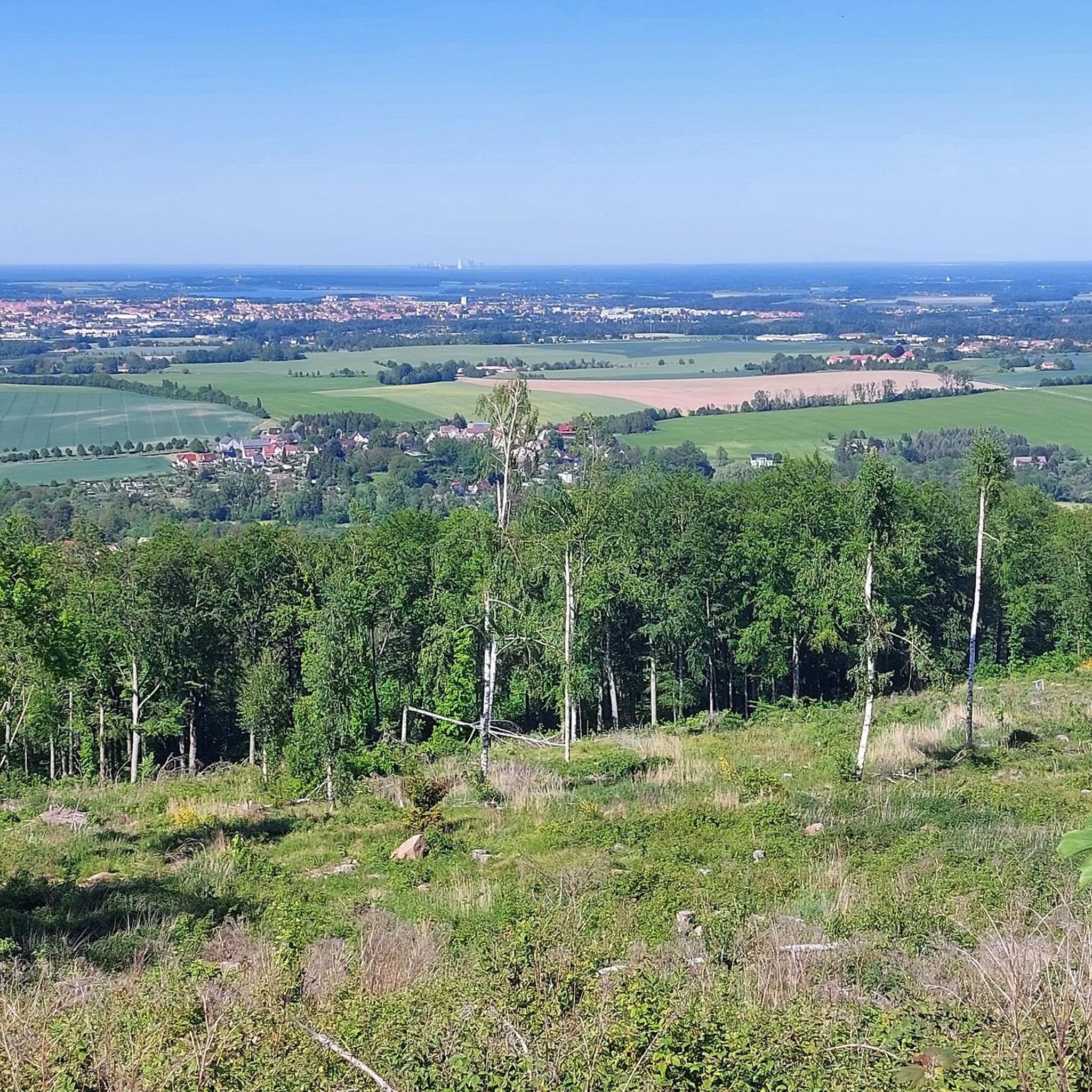
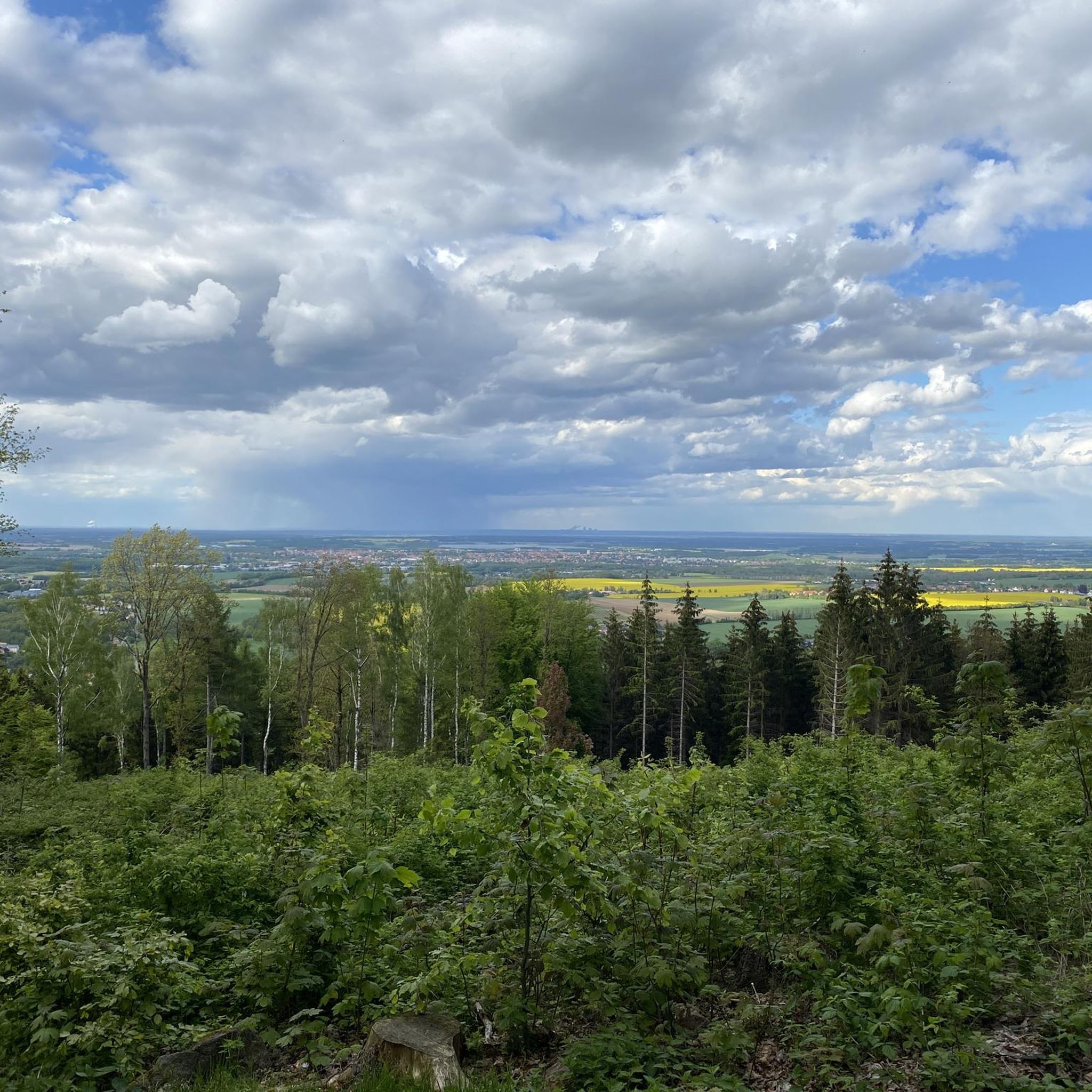
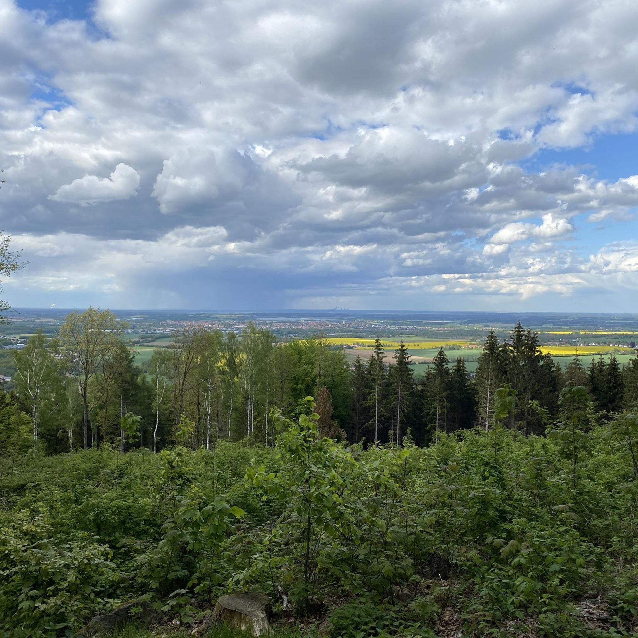
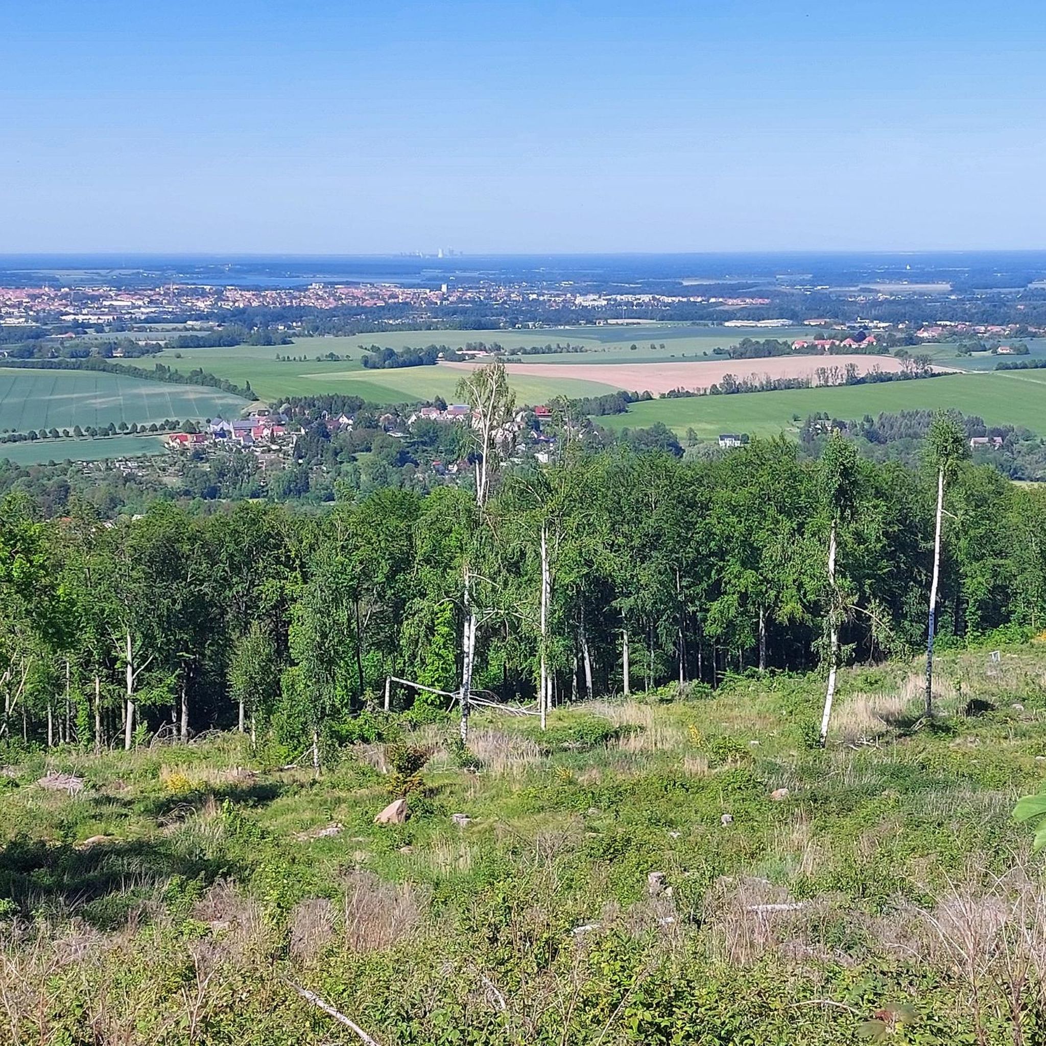
Tips from the Community

Wesenitz Spring and Valentin Adit Information The Wesenitz River originates at an elevation of 515 meters above sea level on the southeastern slope of the Valtenberg mountain, emerging from the entrance of a 60-meter-long mine adit known as the "Goldbergwerk" (Gold Mine). The Wesenitz was first documented in 1213. Valentin Adit at the Wesenitz spring on the southern slope of the Valtenberg mountain.
2
0

Great rock formation near the mountain inn
0
0

story Trying to unravel a mystery. In the spring of 2006 we discovered a large hand-shaped weathering depression in the rocks of Upper Lusatia. We baptized it "God's Hand" Maybe it was just a whim of nature. Nevertheless, measurements carried out in the spring of 2007 yielded a surprising result: if you looked out of the triangular viewing hole of a nearby cave over the "God's Hand" towards the sky, you could see the noon point of the winter solstice directly. ... An accident? Since then we have systematically visited every rock known to us in Upper Lusatia and many more, examined them for characteristics and measured them. We discovered more solar observation phenomena. Individual rock objects with one or more viewing windows are particularly impressive. These viewing windows often mark not only the midday sun of the winter solstice, but also the morning and evening sun of both the winter and summer solstices and the beginning of spring and autumn. Some rocks reflect the observation scheme of the prehistoric "Nebra Sky Disc" discovered in Saxony-Anhalt even reflected 1:1. ... Is it really all just a coincidence???? We don't think so! We are of the opinion that although nature in many cases created the conditions for numerous viewing windows through crevasses and fissures in the rock, their alignment to always the same specific points in the sky is in many cases a deliberate work of man with the intention of using the suns and their movement in the sky to determine the length of the year and to divide it into periods. Undoubtedly traces of this targeted human influence and even stone tools used for this purpose have already been discovered and recorded in expert reports. In 2008, with the support of the star friends of the observatory "Bruno H. Bürgel" e.V. Sohland/Spree, we launched the "Project-Götterhand" to investigate the phenomenon. Source: Hand of the Gods
0
0
In principle, the spring drains the old Valentin tunnel. Water is life.
2
0


According to tradition, the name of the mountain came about during the Thirty Years' War. At that time, the farmers of the area drove their cattle up this mountain to find protection and refuge. On the other hand, Theodor Schütze says: "The name can hardly have anything to do with calves that were supposedly hidden in the mountain forest during the Thirty Years' War." Kelerstein is listed on Scultetus' map from 1593. In a loan letter from 1669, it is referred to as a "Hichtwald". Source: Wikipedia
4
0
A long time ago a mechanic was commissioned by the Bautzen city council to provide the city with water from the river, but since the work was very expensive, he undertook to give up his head if it didn't work. So he built a so-called art and used one of the towers in the curtain wall, where the water is lifted up by machines and from there into the city. When the work was finished, behold, it did not work; So the builder was established and death awaited him afterwards. In the meantime he succeeded in escaping at night; He fled out the Neusalzaer Strasse, but when he came to the mountain near the village of Ebendörfel, he was suddenly seized with tiredness, sat down and fell asleep. Then he dreamed as vividly as if he saw that a rat was stuck in one of the tubes of his water art and that the work was clogged as a result. Upon awakening, he decided that at the risk of losing his life, he would return and take the advice. As expected, so it happened; he turned back and faced his judges on the condition that they allow him to examine the workings of his waterworks again before being led to death. He was allowed to do this, and behold, he really did find a rat in the tube, just as he had seen it in a dream. When it was pulled out, the water art went and continues to this day. Popularly called; but the mountain near Ebendörfel henceforth the dream mountain, from which the dialect of Bautzen made Dromberg or Thronberg. More information: https://historischerstammtisch.webnode.com/sagen/dromberg-und-die-wasserkunst/
0
0
Frequently Asked Questions
What are some unique rock formations to explore near Obergurig?
The region around Obergurig features several fascinating rock formations. The Kälbersteine and Kälbersteinbaude offer exciting granite and granodiorite formations, with the largest rock at the summit accessible via a staircase. You can also visit Devil's Pulpit, known as a mystical place with a flat, rooty trail, and the Devil's Window rock formation, an interesting rock with a round opening steeped in local legend.
Where can I find panoramic views of the Upper Lusatian region?
For expansive views, consider visiting Valtenberg, the highest peak in the Lusatian Highlands, which offers panoramic vistas extending to the Elbe Sandstone Mountains and the Giant Mountains on a clear day. Bieleboh, another significant mountain, also provides an 'infinite view over the Lusatian Mountains' from its observation tower. The Kälbersteine and Kälbersteinbaude also offer glimpses of the surrounding hills and mountains from its summit.
Are there any natural monuments with historical or mythological significance?
Yes, the Kälbersteine and Kälbersteinbaude are believed to have been a prehistoric sun sanctuary, with a 'sun phenomenon' observed during equinoxes and solstices. The name 'Kälbersteine' itself is thought to originate from the Thirty Years' War. The Devil's Window rock formation on Czorneboh is linked to pre-Christian Sorbian mythology and local legends.
What kind of hiking trails can I expect around Obergurig's natural monuments?
The natural monuments around Obergurig are well-suited for hiking. You'll find marked trails leading to sites like the Kälbersteine, Valtenberg, and Bieleboh, ranging from easy to moderate difficulty. Many trails are forested, offering a rich natural environment. For specific easy hiking routes, you can explore options like the 'Al Janko Mill – Fuchsweg Trail loop' or the 'Devil's Pulpit – Stern Rest Area loop' found in the Easy hikes around Obergurig guide.
Are there family-friendly natural attractions near Obergurig?
Absolutely. The Wesenitz Spring is a family-friendly natural monument with a nice source design and information signs. The North Cape (Northernmost Point of the Czech Republic) is also listed as family-friendly, offering an interesting nature trail. Additionally, the Naturlehrpfad 'Schwarze Büschel' in Obergurig is an educational nature trail perfect for families interested in local flora and fauna.
What outdoor activities, besides hiking, can I do near these natural monuments?
Beyond hiking, the region offers excellent opportunities for cycling and mountain biking. The Spreeradweg (Spree Cycle Path) runs through the area, allowing you to explore the riverine landscape. You can find various cycling routes in the Cycling around Obergurig guide. For mountain biking enthusiasts, there are trails like the 'View of the Cosuler Valley – Old Watermill Obergurig loop' in the MTB Trails around Obergurig guide.
Is there a specific time of year that is best to visit the natural monuments?
The natural monuments around Obergurig can be enjoyed year-round. Spring and autumn offer pleasant temperatures and beautiful foliage, ideal for hiking. Summer is great for longer days and cycling, while winter can provide a unique, serene experience, especially for winter hiking, though some facilities like mountain dwellings might have limited hours.
Can I bring my dog to the natural monuments and trails?
Many natural trails and areas around Obergurig are dog-friendly, allowing you to explore with your canine companion. It's always recommended to keep dogs on a leash, especially in nature reserves or areas with wildlife, and to follow local regulations regarding waste disposal. Always check specific signage at trailheads for any restrictions.
Where does the Wesenitz River originate, and can I visit it?
The Wesenitz River originates approximately 400 meters southeast of the Valtenberg summit. You can visit the Wesenitz Spring, which is a designated natural monument. It's a great place to rest, featuring a nice source design and information signs.
What makes the Kälbersteine particularly interesting?
The Kälbersteine and Kälbersteinbaude are interesting for several reasons: their unique granite and granodiorite rock formations, the accessibility of the largest summit rock via a staircase, and the 'sun phenomenon' discovered in 2008, suggesting it may have been a prehistoric sun sanctuary. The area also has historical lore, with farmers reportedly hiding cattle there during the Thirty Years' War.
Are there any natural monuments that are also significant geographical points?
Yes, the North Cape (Northernmost Point of the Czech Republic) is a notable natural monument that marks a significant geographical point. It's a special place to visit, offering a very nice hike and an interesting nature trail.
What are the highest natural elevations in the region around Obergurig?
The highest natural elevation in the Lusatian Highlands, accessible from Obergurig, is Valtenberg, reaching an elevation of 586.6 meters. Another significant mountain is Bieleboh, which stands at around 500 meters. Both offer extensive views and are popular hiking destinations.
Are there any nature trails specifically designed for learning about local flora and fauna?
Yes, the Naturlehrpfad 'Schwarze Büschel' (Nature Trail 'Black Bushel') in Obergurig, along Fortschrittstraße, was established in 2008. It features points of interest designed to highlight the local natural environment and is ideal for educational walks to learn about the region's flora and fauna.
Most popular routes around Obergurig
Most popular attractions around Obergurig

Get inspired with the komoot mobile app


Explore more
Extend your search for the best caves by checking out these guides of the top ones around Obergurig:
