Top 20 Natural Monuments around Wasserliesch
Best natural monuments around Wasserliesch are found in the picturesque Rhineland-Palatinate region, where the Moselle and Saar rivers converge. This area is characterized by significant geological transitions, including striking colored sandstone and Muschelkalk layers. The landscape offers diverse natural features, from riverine environments to unique rock formations and botanical sites.
Best natural monuments around Wasserliesch
- The most popular natural monuments is Old arm of the Saar near Kanzem, a river that features an amazing nature reserve. This area provides…
Last updated: June 24, 2026
Confluence of the Saar and Moselle
Highlight • River
Translated by Google •
Tip by

View of the confluence of the Sauer and Moselle at Wasserbillig
Highlight • Viewpoint
Translated by Google •
Tip by

Sign up now to discover places like this
Get recommendations on the best single tracks, peaks, & plenty of other exciting outdoor places.
Sign up for free
Sirzenich Waterfall
Highlight • Waterfall
Translated by Google •
Tip by

Old arm of the Saar near Kanzem
Highlight • River
Tip by
Saarburg Old Town and Leukbach Waterfall
Highlight • Settlement
The Leukbach with the waterfall flows through the old town center.
It is definitely worth stopping at …
Translated by Google •
Tip by

Sign up for free to discover even more natural monuments around Wasserliesch.
Sign up for free
Already have an account?
Start today with a free account
Your next adventure awaits.
Login or Signup
Popular around Wasserliesch
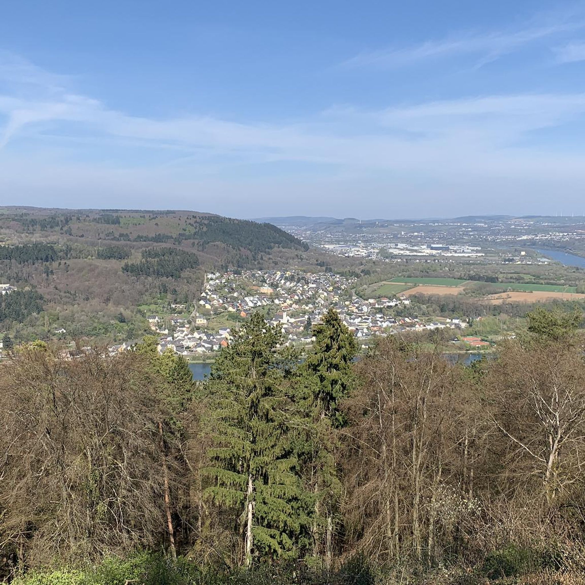
Moselsteig Partner Trails – nature, culture and views
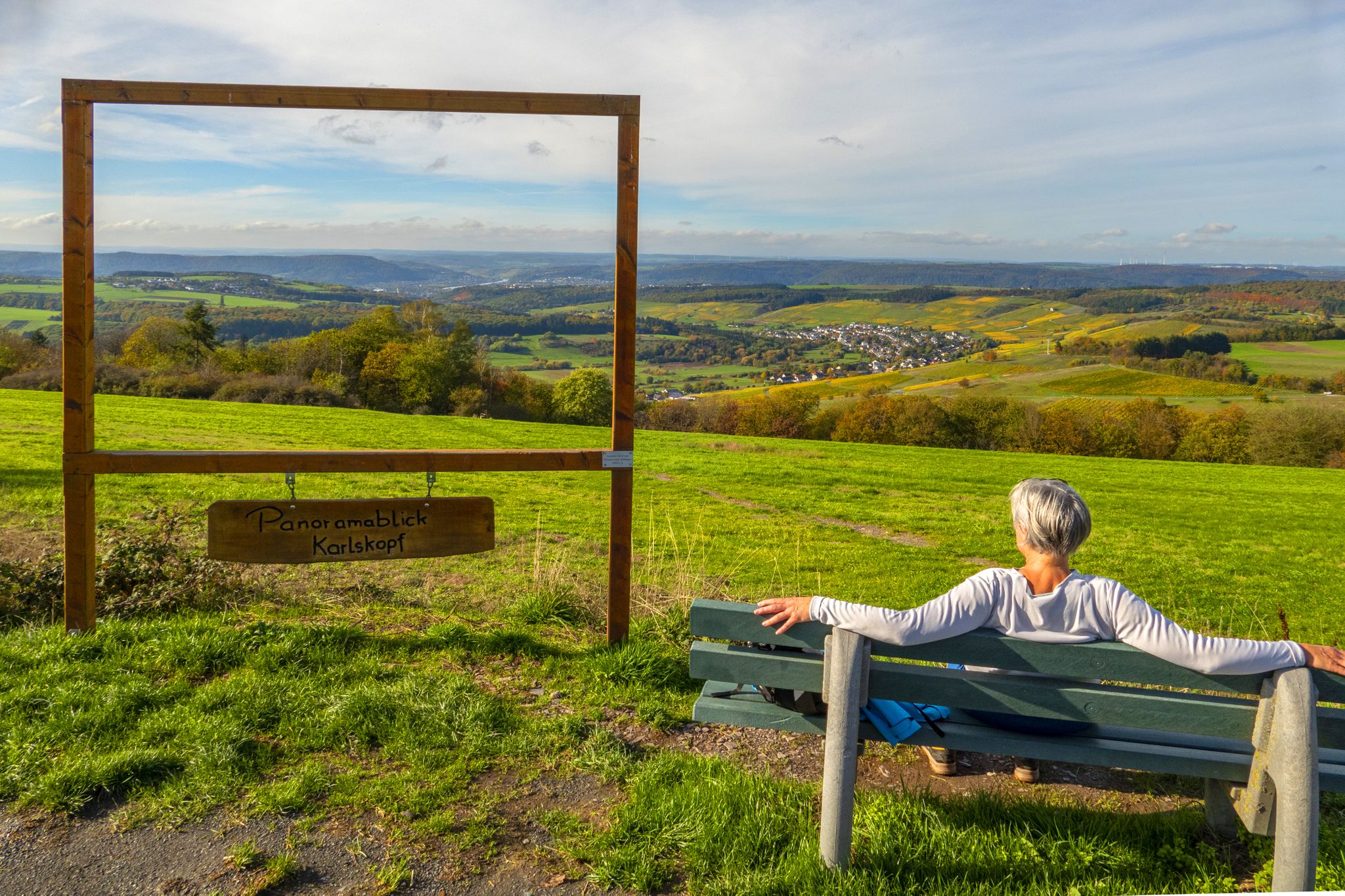
Moselsteig und Seitensprünge in der Urlaubsregion Saar-Obermosel
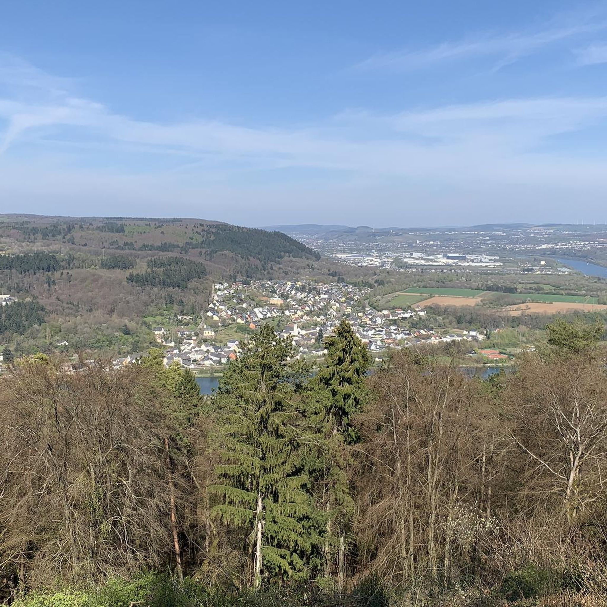
Road Cycling Routes around Wasserliesch
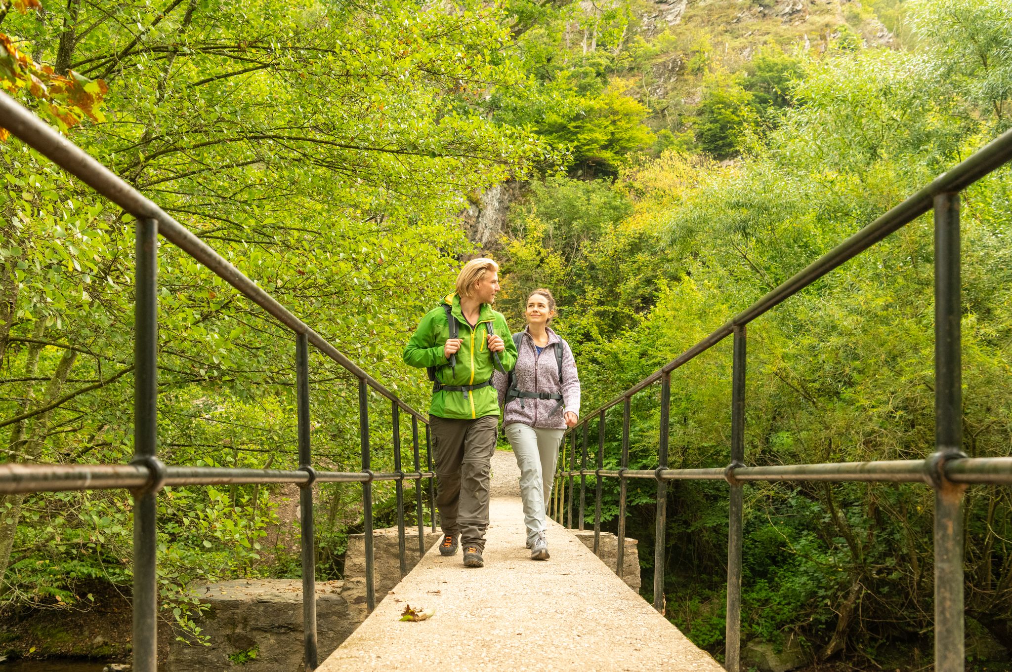
Hiking around Wasserliesch
Cycling around Wasserliesch
MTB Trails around Wasserliesch
Running Trails around Wasserliesch
Gravel biking around Wasserliesch


Tips from the Community

Impressive vineyards and a very beautiful course of the Saar.
2
0

The Sauermündung is the place where the river Sauer flows into the Moselle. The Sauer is the largest left tributary of the Moselle and is approximately 170 km long. The river originates in the Belgian Ardennes and forms the border between Germany and Luxembourg for approximately 50 km between Wallendorf and Wasserbillig. In Wasserbillig the Sauer flows into the Moselle. The area around the Sauermündung is a popular destination for cyclists and nature lovers. There are many cycle paths and the area is rich in flora and fauna. There are also many birds to see, including swans and storks.
9
0
"The Sauermündung is the place where the river Sauer flows into the Moselle. The Sauer is the largest left tributary of the Moselle and is approximately 170 km long. The river originates in the Belgian Ardennes and is approximately 50 km long between Wallendorf and Wasserbillig the border between Germany and Luxembourg. In Wasserbillig the Sauer flows into the Moselle. The area around the Sauermündung is a popular destination for cyclists and nature lovers. There are many cycle paths and the area is rich in flora and fauna. There are also many birds to see, including swans and storks."
12
0

The old town of Saarburg with the castle, the church, the mill museum and the waterfall is definitely a magnet for visitors, at least in the summer months. Unfortunately, the old town is usually flooded with tourists on the weekends.
3
0

A great bike path runs along the Sauer. Wasserbillig is quite nice for shopping
13
0
Brilliant bike path on the Saar, Saarburg is well worth seeing!
3
0

Two border rivers (Germany, Luxembourg) meet here, the Sauer and the Moselle.
9
0

Nice view of the old arm of the Saar
0
0
Frequently Asked Questions
What unique natural features can I explore around Wasserliesch?
The region around Wasserliesch is rich in diverse natural features. You can witness the majestic Confluence of the Saar and Moselle, where these two significant rivers meet. Another highlight is the Sirzenich Waterfall, nestled in a beautiful Bachtal, which is particularly impressive after rainfall. The area also features significant geological transitions, including striking colored sandstone and Muschelkalk layers visible near the Moselle.
Are there family-friendly natural monuments in the Wasserliesch area?
Yes, several natural monuments are suitable for families. The Confluence of the Saar and Moselle offers wide river basins and meadows perfect for relaxation. The Old arm of the Saar near Kanzem is another family-friendly spot, providing opportunities to observe waterbirds and other wildlife along a brilliant bike path.
What kind of outdoor activities can I do near these natural monuments?
The area around Wasserliesch offers a variety of outdoor activities. You can find numerous running trails, such as the moderate "St. Aper Church Wasserliesch loop." For cyclists, there are gravel biking routes like the "Busental Waterfall – Biewertal Scenic Path loop," and road cycling options including the "View of the Moselle – Moselle Riverside Cycle Path loop." You can explore more routes on the Running Trails around Wasserliesch, Gravel biking around Wasserliesch, and Road Cycling Routes around Wasserliesch guide pages.
When is the best time to visit the natural monuments around Wasserliesch?
The natural monuments around Wasserliesch can be enjoyed throughout the year, but each season offers a different experience. Spring and summer are ideal for hiking and cycling, with lush greenery and pleasant temperatures. The Sirzenich Waterfall is particularly spectacular after rain, which can occur in any season. Autumn brings beautiful fall foliage, especially along the rivers. Winter hikes can also be rewarding, offering a tranquil atmosphere, though some paths might be muddy or icy.
Are there any natural reserves or areas of special botanical interest?
Yes, the Nature Reserve Perfeist, located along the Moselsteig Side Trail: Wasserliescher Panoramasteig, is renowned for one of Germany's richest occurrences of orchid species. This reserve, along with the Old arm of the Saar near Kanzem, provides valuable sites for nature enthusiasts interested in unique flora and wildlife observation.
What geological formations are notable in the Wasserliesch region?
The region around Wasserliesch is geologically significant, marking where the Moselle leaves the German-French scarp landscape and enters the Rhenish Slate Mountains. You can observe striking colored sandstone and Muschelkalk layers near the Moselle between Igel and Wasserliesch. The sharp dividing line of the "Igeler Fault" is another notable geological feature that contributes to the diverse terrain.
What do visitors enjoy most about the natural monuments here?
Visitors frequently praise the serene views and tranquil settings. For instance, the Confluence of the Saar and Moselle is appreciated for its wide river basin and peaceful atmosphere, with benches for relaxation. The Sirzenich Waterfall is loved for its beautiful Bachtal, especially after rain, offering a great spectacle. Many also enjoy the opportunity to observe waterbirds and wildlife at the Old arm of the Saar near Kanzem.
Are there any historical or cultural sites near the natural monuments?
While primarily focused on natural beauty, the region does have historical connections. For example, near the Confluence of the Saar and Moselle, there's a pyramid-shaped stone monument dedicated to Kaiser Wilhelm. Additionally, the nearby town of Saarburg features the Saarburg Old Town and Leukbach Waterfall, which includes a beautiful castle ruin and historical sites within the town center.
Can I find easy walking trails suitable for all fitness levels?
Yes, the region offers various walking options. The paths along the Saar cycle path near the Confluence of the Saar and Moselle are generally flat and easy, perfect for peaceful strolls. Many sections of the Moselsteig Side Trail, while offering panoramic views, also have easier segments. For specific easy routes, you can check the Running Trails around Wasserliesch guide for moderate options like the "St. Aper Church Wasserliesch loop."
What should I wear for hiking or exploring the natural monuments?
For hiking and exploring the natural monuments around Wasserliesch, it's advisable to wear comfortable, sturdy shoes suitable for varied terrain, as paths can range from paved riverside trails to natural forest floors. Layered clothing is recommended to adapt to changing weather conditions, especially if you're exploring areas like the Sirzenicher Gorge where you might cross a creek. Waterproof gear can be beneficial, particularly if visiting after rain to see the waterfalls at their best.
Are there options for food and drink near the natural monuments?
While specific cafes directly at every natural monument might be limited, the nearby towns and villages, such as Konz and Wasserliesch itself, offer various options. Saarburg, with its Old Town and Leukbach Waterfall, has numerous restaurants, cafes, and wine bars in its city center, making it a great place to stop for a meal or refreshment after exploring.
Is it possible to visit the natural monuments during winter?
Visiting the natural monuments during winter is certainly possible and can offer a unique, tranquil experience. While some paths might be muddy or icy, especially in shaded areas or near waterfalls, the main river confluences and viewpoints remain accessible. Always check local conditions and wear appropriate footwear and warm clothing. Winter can also provide stunning, crisp views of the landscape.
Most popular routes around Wasserliesch
Most popular attractions around Wasserliesch

Get inspired with the komoot mobile app


Explore more
Extend your search for the best caves by checking out these guides of the top ones around Wasserliesch:
