Top 11 Natural Monuments around Pennigsehl
Best natural monuments around Pennigsehl include diverse natural features within Lower Saxony, Germany. The region is characterized by its natural landscapes, such as the Kirchdorfer Heath, known for its extensive heather bloom in August. Pennigsehl offers various natural monuments, including rivers, lakes, and unique forest areas, providing opportunities for exploration. These landmarks and natural features provide numerous popular trails and routes for visitors.
Best natural monuments around Pennigsehl
- The most popular natural monuments is Große Aue in Liebenau, a…
Last updated: June 24, 2026
Große Aue in Liebenau
Highlight • River
Translated by Google •
Tip by

Franzosenstein on Knickberg
Highlight • Natural Monument
Translated by Google •
Tip by

Sign up now to discover places like this
Get recommendations on the best single tracks, peaks, & plenty of other exciting outdoor places.
Sign up for free
Die Rolle
Highlight • Lake
Info from the web:
Location and brief description:
The approx. 28 hectare natural bathing lake "Die Rolle" is located in a fauna-flora habitat (FFH) area 289 …
Translated by Google •
Tip by

Estorfer Lake
Highlight • Lake
Translated by Google •
Tip by

Eichenkratt Nature Reserve
Highlight • Forest
Translated by Google •
Tip by

Sign up for free to discover even more natural monuments around Pennigsehl.
Sign up for free
Already have an account?
Start today with a free account
Your next adventure awaits.
Login or Signup
Tips from the Community

something mystical and beautiful to look at
1
0

There is a shelter and a beautiful table and bench combination at Lake Estorf. In the shelter you can read an exciting story about Lake Estorf😊
0
0

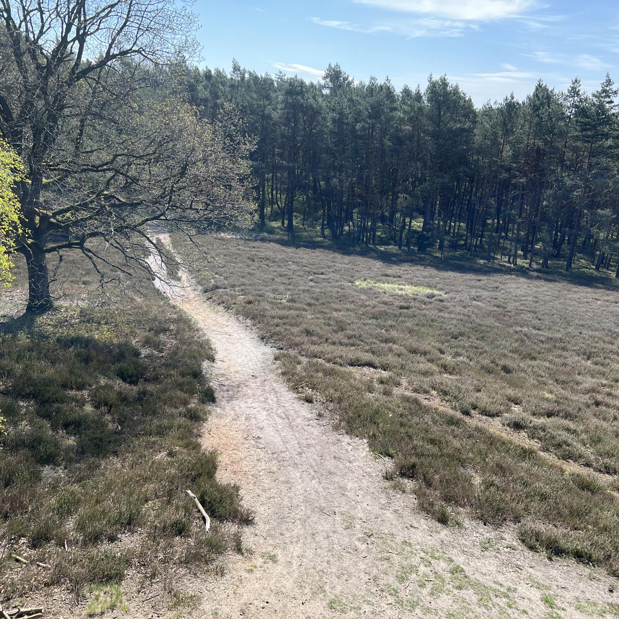
A "highlight" of the Kirchdorfer-/Kuppendorfer Heide-Rund; you have to do it ;-).
1
0

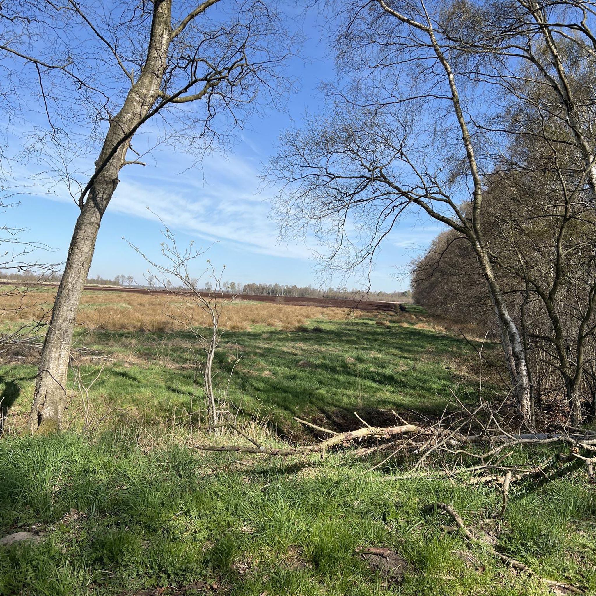
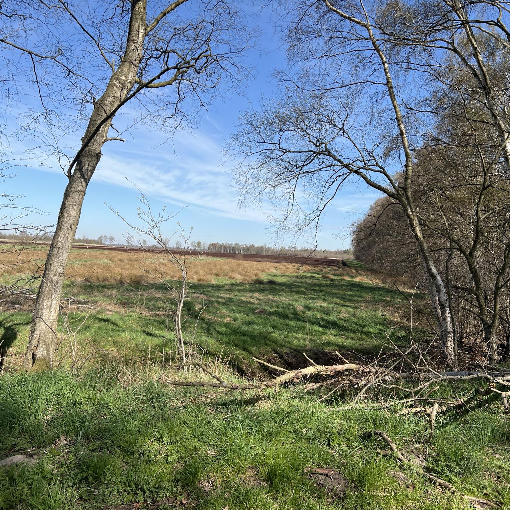
The “Eichenkratt” nature reserve includes a unique population of trees. The name of the area is derived from the North German word “Kratt”, which means oak thickets, and is explained by the impression that the trees seem to be missing the trunk, so that the oaks only consist of the treetop.
3
0

Little info from the internet: The Frenchman's Stone Today it is still called “Franzosenstein”, the one meter high sandstone column on the highest point in the community of Kirchdorf. This relic from the past always puzzles visitors. The following is recorded in the Kirchdorf community archive: Kirchdorf, which belonged to the Uchte district under Hessian administration, came under French rule in 1803. Under the direction of Colonel Epailly, survey officers erected a twelve meter high tower. At this point a first order triangle network (“Canevas die Triangles du Ier ordere executes par M. Epailly”). From here the following main points were recorded: the church towers of Twistringen and Asendorf, the signal towers on the Mordkulenberg west of the Dümmer in the Dammer Mountains (141 m above sea level), on the Hüttenberg in Grinderwald (101 m above sea level), a mountain near Loccum and the Knickberg (86 m above sea level). At the same time, French observers were able to monitor events in all directions. In 1813, after the French era, Kirchdorf fell back to Hesse and the twelve meter high tower was destroyed. In 1814, Prince Regent George of Hanover and England elevated his electorate to a kingdom, including the Hessian territories. In 1816, King George IV ordered the extension of triangulation to the entire Kingdom of Hanover. Under the direction of C. F. Gauß, the survey work also began on the Knickberg, for which he had a stone built with a pedestal and a slab on top, which fell victim to deliberate destruction. As a replacement, a one meter high sandstone pillar was erected with the carved inscription “Königl. Hann. Country. Surveying.”. This stone still stands on the Knickberg today, which is incorrectly referred to as the “Franzosenstein”. Perhaps arbitrarily by the Prussians who annexed Hanover in 1866 after the Battle of Langensalza. In 1886/87, as part of the Prussian survey, Prussian surveying officers built a wooden tower on a stone foundation at this point, which was then called the French Tower. After about 25 years, this too disappeared. In 1919 the decree came that no more towers should be erected. Today's visitor is no longer able to look out from all sides of the Knickberg. He is in the middle of the forest, where a bench invites him to rest. Not far from the supposed “French stone” there has been an embedded square stone with a cross for years, the so-called “trigonometric point”, which serves as a survey point for our land registry office for the height of the Knickberg (86 m above sea level).
1
0

The place on the “Große Aue” has been the location of the mill since 1298. At this time the mill served purely as a grain mill for grinding grain. In 1859 a sawmill was added to the grain mill, and the floodplain now powered four mill wheels. A comprehensive renovation took place in 1913, during which the water wheels were replaced by a turbine. After mill operations stopped in the 1970s, the turbine continues to run and generate electricity today.
3
0

In the years after the Second World War, everything was done to turn the Große Aue into a canal-like river and thus to achieve a flood-free river course. In the 1980s, initiatives in the Minden-Lübbecke area led to the decision to renaturate the river landscape. The landscape, which has become species-poor as a result of the expansion, should recover. Alluvial forests, hedges and the typical plants and animals should be given a habitat again. When the ground-breaking ceremony for renaturation took place in 1989, this project was unique in North Rhine-Westphalia. The monotonous river bed and its up to 300 m wide side spaces were redesigned to form a near-natural meadow landscape. Approximately 200 hectares of flood plains have been reclaimed. The technically upgraded barrel was largely preserved. At the same time, a new body of water was created that flows into the old course at several points. From today's perspective, a species-rich animal and plant world was created without flood disasters being expected. Source: Wikipedia
4
0
Water is always attractive... Info from the web: Location and brief description: The approx. 28 hectare natural bathing lake "Die Rolle" is located in a fauna-flora habitat (FFH) area 289 (pond bat waters in the Nienburg area) west of the city of Nienburg/Weser and can be reached via the B 6. As a standing tributary, it lies on the left without a connection to the Weser.
5
1
Frequently Asked Questions
What are some of the most notable natural monuments to visit around Pennigsehl?
Pennigsehl offers a variety of natural monuments. You can explore the Große Aue in Liebenau, a river known for its renaturation efforts, fish ladders, and a small waterfall. Another significant spot is the Franzosenstein on Knickberg, which is the highest point in Kirchdorf and offers historical context. Don't miss the Eichenkratt Nature Reserve, unique for its ancient oak thickets where trees appear to consist only of their treetops.
Are there any lakes or water bodies among the natural monuments in Pennigsehl?
Yes, Pennigsehl features beautiful water bodies. You can visit Die Rolle, an approximately 28-hectare natural bathing lake located in a fauna-flora habitat area. Another option is Estorfer Lake, situated in the Weser floodplain, which is a remnant of a former Weser course and home to diverse species.
What kind of unique natural landscapes can I expect to see?
Beyond specific monuments, the region is known for its distinctive natural landscapes. The Eichenkratt Nature Reserve showcases a unique population of oak trees, where the name 'Kratt' refers to the oak thickets. Additionally, the broader area includes the picturesque Kirchdorfer Heath, renowned for its extensive heather bloom.
What is the best time of year to visit the natural monuments around Pennigsehl?
The best time to visit depends on what you wish to see. For a truly spectacular sight, plan your visit for August, when the Kirchdorfer Heath transforms into a sea of vibrant purple heather. This is when the heather bloom is at its peak, offering a stunning visual experience.
Are there family-friendly natural monuments in the area?
Many natural monuments around Pennigsehl are suitable for families. The Große Aue in Liebenau, Franzosenstein on Knickberg, Die Rolle, Estorfer Lake, and Eichenkratt Nature Reserve are all considered family-friendly, offering opportunities for exploration and relaxation in nature.
What kind of historical significance do some of these natural monuments hold?
The Franzosenstein on Knickberg is not only the highest point in Kirchdorf but also a historical site where you can learn about the area's past. The tips from visitors mention that there are nice places to sit and learn something about history at this location.
What outdoor activities can I do near the natural monuments?
The area around Pennigsehl is excellent for various outdoor activities. You can find numerous routes for cycling, running, and hiking. For example, there are easy cycling routes like the 'Wesertor Bridge – Posthof, Nienburg loop' or moderate running trails such as the 'Liebenauer Heath loop'. You can explore more options on the Cycling around Pennigsehl, Running Trails around Pennigsehl, and Hiking around Pennigsehl guide pages.
Are there hiking trails available near these natural monuments?
Yes, there are several hiking trails. For instance, near the Eichenkratt Nature Reserve, you can find easy routes like the 'Eichenkratt Nature Reserve – Januarsberg Observation Tower loop'. Other options include the 'Meyersiek Watermill – Hubertusweg loop' from Steyerberg. Discover more hiking routes on the Hiking around Pennigsehl guide page.
What do visitors particularly enjoy about the natural monuments in Pennigsehl?
Visitors appreciate the diverse natural features and the tranquility. For example, the renaturation efforts at Große Aue in Liebenau are highly regarded for restoring the natural landscape. The unique appearance of the oak trees in the Eichenkratt Nature Reserve is also a highlight, with oaks appearing to consist only of their treetops. Many also enjoy the idyllic resting spots and historical information found at places like the Franzosenstein on Knickberg.
Can I find viewpoints or scenic spots among the natural monuments?
Yes, several natural monuments offer scenic views or are considered viewpoints. The Franzosenstein on Knickberg, being the highest point in Kirchdorf, provides a good spot for a break, though the panoramic view might be obscured by trees. Die Rolle also offers great views of the lake if you leave the paved path.
Are there opportunities for cycling near the natural monuments?
The region around Pennigsehl is well-suited for cycling. You can find various routes, including easy ones like the 'Wesertor Bridge – Posthof, Nienburg loop' from Pennigsehl, which covers about 33.5 km. For more cycling options, refer to the Cycling around Pennigsehl guide page.
What kind of wildlife can be observed in the natural monuments?
The natural monuments and surrounding areas support diverse wildlife. For instance, the Estorfer Lake, located in the Weser floodplain, is part of a landscape conservation area where relics of an old Weser course are preserved, influencing the development of the two still waters and their species spectrum. The area is noted for the FFH species pond bat and specific habitat types, indicating a rich biodiversity.
Most popular attractions around Pennigsehl

Get inspired with the komoot mobile app


Explore more
Extend your search for the best caves by checking out these guides of the top ones around Pennigsehl:
