Top 20 Natural Monuments around Bundorfer Forst
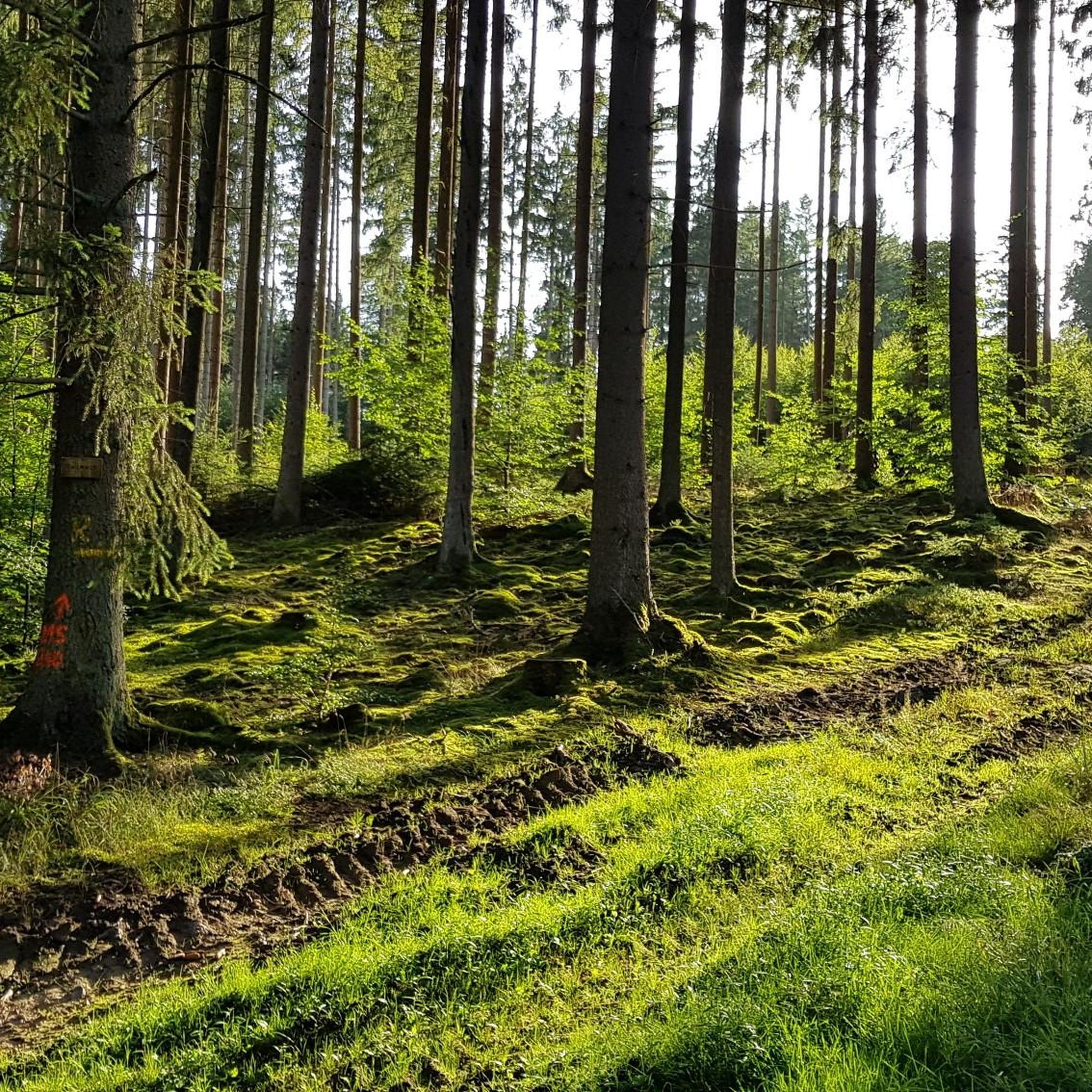
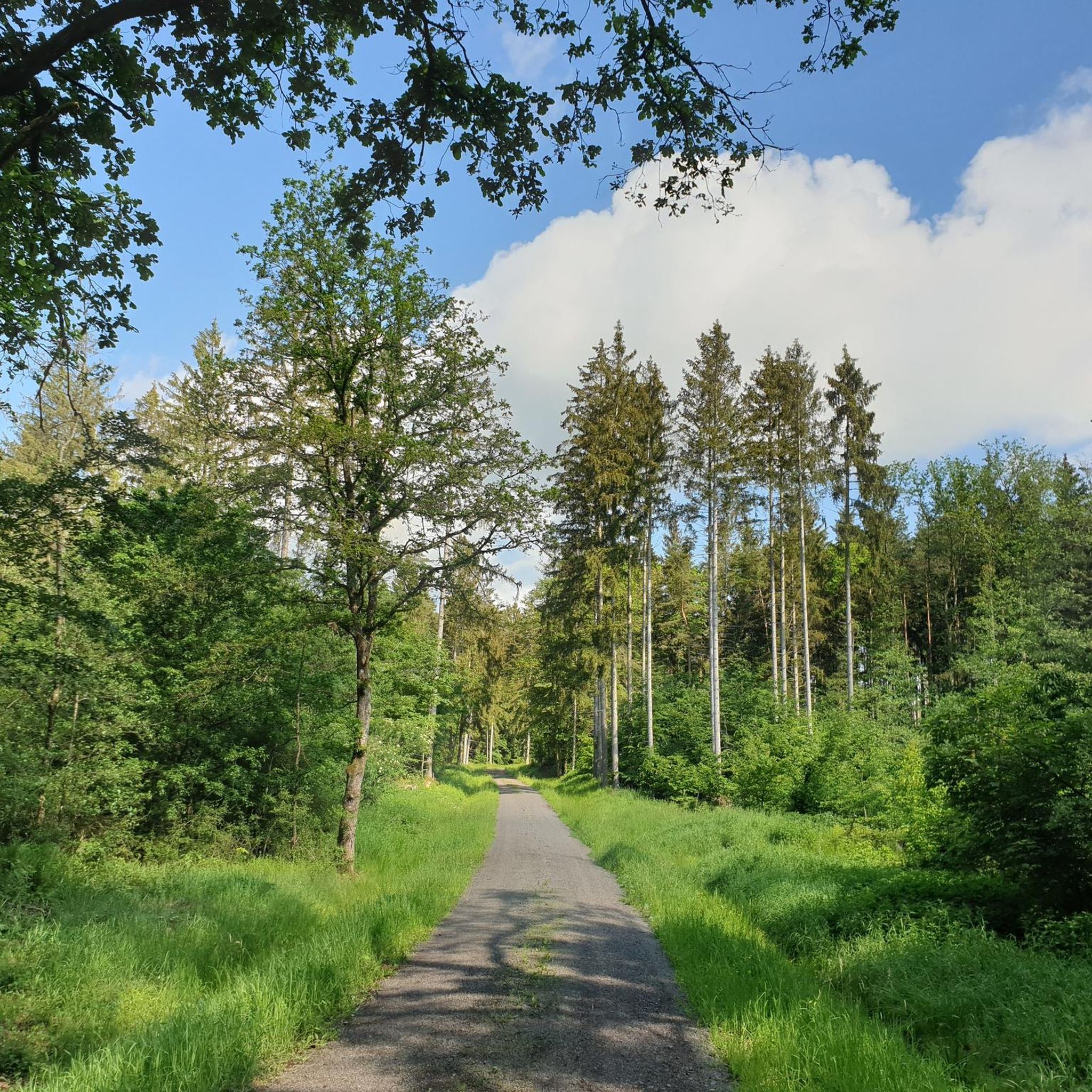
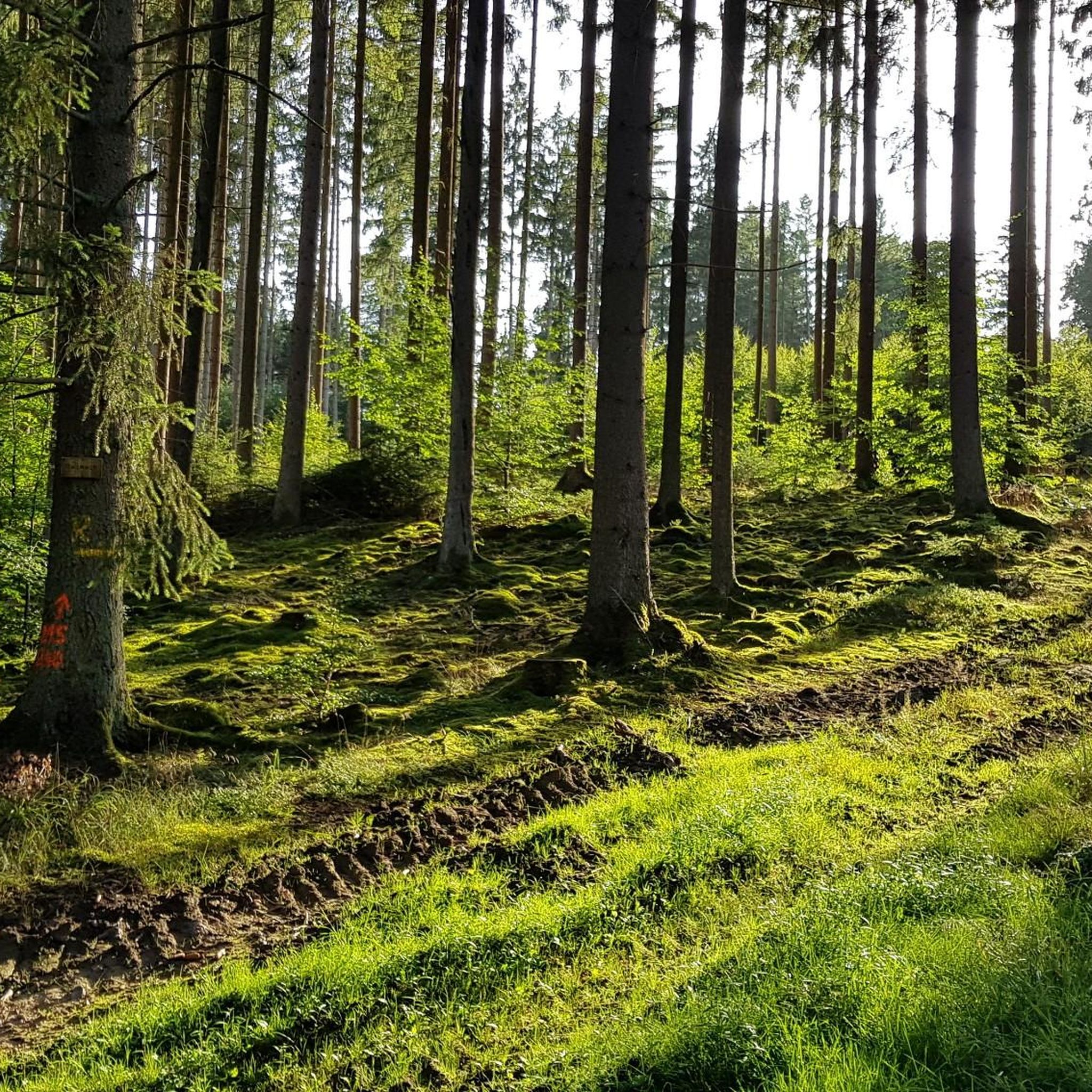
Best natural monuments around Bundorfer Forst are found within a contiguous forest area in the northern Haßberge Nature Park, recognized for its ecological significance. This region is designated as a nature reserve, a Fauna-Flora-Habitat (FFH) area, and a bird sanctuary, underscoring its importance for biodiversity. The landscape features old deciduous forests interspersed with moist meadow valleys, providing habitat for protected animals and rare plants. Exploring these areas offers an opportunity to experience an unadulterated forest ecosystem.
Best natural monuments around…
Last updated: October 11, 2026
Lower Dam Area, Ellertshäuser Lake
Highlight • Lake
Translated by Google •
Tip by

Translated by Google •
Tip by

Sign up now to discover places like this
Get recommendations on the best single tracks, peaks, & plenty of other exciting outdoor places.
Sulzfelder Lake
Highlight • Lake
Translated by Google •
Tip by
Brennhausen Castle
Highlight • Castle
Translated by Google •
Tip by

Reuthsee
Highlight • Lake
Translated by Google •
Tip by

Sign up for free to discover even more natural monuments around Bundorfer Forst.
Already have an account?
Start today with a free account
Your next adventure awaits.
Tips from the Community

The first sandstone spring casing from the 1940s was redesigned in 1973 and acquired its current representative appearance in 1985. A bronze plaque by Erich Husemann from Trappstadt has commemorated the importance of the Franconian Saale since 1987. The spring stream flows southwest through Alsleben, where it joins the Fleusengraben, and joins the left source stream north of Bad Königshofen-Untereßfeld. Source: https://de.m.wikipedia.org/wiki/Fr%C3%A4nkische_Saale
14
1
The Franconian Saale originates in the Grabfeld near the Haßberge Mountains, east and southeast of Bad Königshofen, respectively, from two roughly equal, 3.9 km long source streams: Its right and northern source streams originate from the Saalbrunnen (not to be confused with the Saalbrunnen, also located in Franconia), approximately 1.7 kilometers east of Alsleben, a district of Trappstadt. The spring is located in an open field, less than 500 meters from the Thuringian border, just off the NES 45 district road, which leads to Gompertshausen. The young Franconian Saale rises there at 313 meters above sea level, below the Kapellenberg (390 meters above sea level). Source: https://de.m.wikipedia.org/wiki/Fr%C3%A4nkische_Saale
14
1


The northern source of the Franconian Saale rises here. The spring is beautifully framed and there is a nice place to sit there.
14
2
This plaque is definitely worth reading and tells you everything about the source, its catchment area and the course of the Franconian Saale.
10
4

Current use The lake is now used as a local recreation area. Large parts are open for swimming, diving, sailing and fishing. The remaining areas are designed as biotopes and designated as nature reserves. Another use is as a water retention area, to prevent floods in spring during snowmelt and to supply the Sauerquellenbach with enough water during the dry periods in summer and autumn. The lake, with a total area of 33 hectares, is the largest reservoir in Unterfranken.[1] It is surrounded by forest all around. The circular path is 4.4 km long. Parts of the northern shore of the lake have sunbathing lawns, a sandy beach and swimming jetties. In 1983 and 2022, the lake was completely drained for renovation work. After a bottom outlet was built in 2022, the reservoir no longer needs to be completely emptied in case of renovation work. On September 22, 2022, the outlet was closed again, and the filling of the lake with rainwater and snow is expected to be completed by spring 2024. https://de.wikipedia.org/wiki/Ellertsh%C3%A4user_See
9
1

Frequently Asked Questions
What are the most prominent natural features and protected areas within the Bundorfer Forst?
The Bundorfer Forst is home to several significant natural features. Key among them are the Naturwaldreservat Nesselsee, a 44.6-hectare nature forest reserve where the forest develops undisturbed, and the adjacent Naturschutzgebiet Nesselgrund, known for its wet meadow complexes and alder swamp forests. The Reuthsee, one of the largest natural landscape lakes in Lower Franconia, is also a notable natural monument in the area. Additionally, the Baunach river flows through the forest, and the Balzerstein reaches 493 meters as the highest elevation.
Are there any historical or cultural sites among the natural monuments in Bundorfer Forst?
Yes, the area features historical elements alongside its natural beauty. For instance, Brennhausen Castle is a remarkable moated castle situated in a lake, with its oldest parts dating back to the 13th century. It offers a unique blend of history and natural setting.
What kind of wildlife can I expect to see in the Bundorfer Forst?
The Bundorfer Forst, particularly within areas like the Naturwaldreservat Nesselsee and Naturschutzgebiet Nesselgrund, provides a crucial habitat for diverse wildlife. You might spot various woodpecker species, bats, and the black stork. The region is also known to host protected animals such as the wildcat, and rare plants like the Large Two-blade, foxglove, Siberian Iris, and various orchids.
What outdoor activities can I do near the natural monuments of Bundorfer Forst?
The Bundorfer Forst offers a variety of outdoor activities. You can explore numerous running trails, such as the 'Stone Crucifix and Rest Area – Sulzfelder Lake loop,' or enjoy cycling routes like the 'View of Lake Ellertshäuser – Main Street, Haßfurt loop.' For mountain biking enthusiasts, there are gravel biking routes like the 'Jägerpfad Schwedenschanze – Trail to Schwedenschanze loop.' You can find more details on these activities in the dedicated guides for running, cycling, and gravel biking around Bundorfer Forst.
Are there family-friendly natural monuments or activities in the area?
Yes, several natural monuments around Bundorfer Forst are suitable for families. The Sulzfelder Lake is a beautifully situated bathing lake with a path around it, ideal for a family outing. The Source of the Franconian Saale (Alsleben) also includes a rest area and information board, making it an accessible and interesting stop for all ages. Many trails around the lakes are also easy to navigate for families.
Where can I experience untouched nature and old-growth forests in Bundorfer Forst?
For an experience of untouched nature, visit the Naturwaldreservat Nesselsee. This reserve is specifically managed to avoid forestry intervention, allowing the forest to develop naturally. It features old beech stands, abundant deadwood, and natural succession areas, providing a unique insight into a wild forest ecosystem.
What is the significance of the Nesselgrund nature reserve?
The Naturschutzgebiet Nesselgrund, adjacent to the Naturwaldreservat Nesselsee, is significant for its distinct wet meadow complexes and alder swamp forests. It's a vital habitat for specific flora and fauna that thrive in these moist environments, contributing greatly to the region's biodiversity.
What do visitors enjoy most about the natural monuments around Bundorfer Forst?
Visitors particularly enjoy the serene beauty and diverse landscapes. Many appreciate the opportunity to cool down at lakes like Sulzfelder Lake on hot days, or the impressive views of historical sites like Brennhausen Castle. The starting point of the Franconian Saale is also a popular spot for its historical significance and peaceful rest area.
Are there any lakes suitable for swimming or recreation?
Yes, the Sulzfelder Lake is a fantastic option for swimming and recreation, offering a welcome cool down. The Ellertshäuser Lake also serves as a local recreation area, with large parts open to swimming, diving, sailing, and fishing, though it has undergone renovation work recently.
What is the Source of the Franconian Saale and why is it a natural monument?
The Source of the Franconian Saale (Alsleben) marks the starting point of the Franconian Saale river. It's considered a natural monument due to its ecological importance as a river source and its role in the regional landscape. The site features a rest area and an information board detailing its origins, making it an interesting and educational stop.
What kind of terrain can I expect when exploring the natural monuments in Bundorfer Forst?
The terrain around Bundorfer Forst is diverse, featuring extensive forest areas, wet meadow valleys, and the gentle flow of rivers like the Baunach. You'll find paths around lakes, through dense woodlands, and along riverbanks. The highest elevation is the Balzerstein at 493 meters, indicating some hilly sections, but many areas, especially around lakes and protected reserves, offer relatively flat and accessible routes.
Most popular routes around Bundorfer Forst
Most popular attractions around Bundorfer Forst

Get inspired with the komoot mobile app


Explore more
Extend your search for the best caves by checking out these guides of the top ones around Bundorfer Forst:
