Top 20 Natural Monuments around Speichersdorf
Best natural monuments around Speichersdorf offer insights into the region's geology, ecology, and history. The landscape features striking basalt formations, ancient rock structures, and protected wetlands. These sites provide opportunities to explore unique natural features and observe local wildlife. The area is characterized by its varied terrain, from volcanic relics to serene lake environments.
Best natural monuments around Speichersdorf
- The most popular natural monuments is Waldeck Castle Ruins, a castle and natural monument located on a 641-meter-high basalt cone.…
Last updated: June 24, 2026
Rauher Kulm Lookout Tower
Highlight • Viewpoint
Nicolaus Apel built a wooden observation tower as early as 1807. There was a movable gold-plated sun above …
Translated by Google •
Tip by

Circular rampart at Rauher Kulm
Highlight • Historical Site
Translated by Google •
Tip by

Sign up now to discover places like this
Get recommendations on the best single tracks, peaks, & plenty of other exciting outdoor places.
Sign up for free
Waldeck Castle Ruins
Highlight • Castle
Translated by Google •
Tip by

Osprey and White-tailed Eagle Observation Point, Großer Rußweiher
Highlight • Viewpoint
Translated by Google •
Tip by

Rotenfels Rock Formation
Highlight • Natural Monument
Translated by Google •
Tip by

Sign up for free to discover even more natural monuments around Speichersdorf.
Sign up for free
Already have an account?
Start today with a free account
Your next adventure awaits.
Login or Signup
Popular around Speichersdorf



Other adventures around Speichersdorf

Tips from the Community


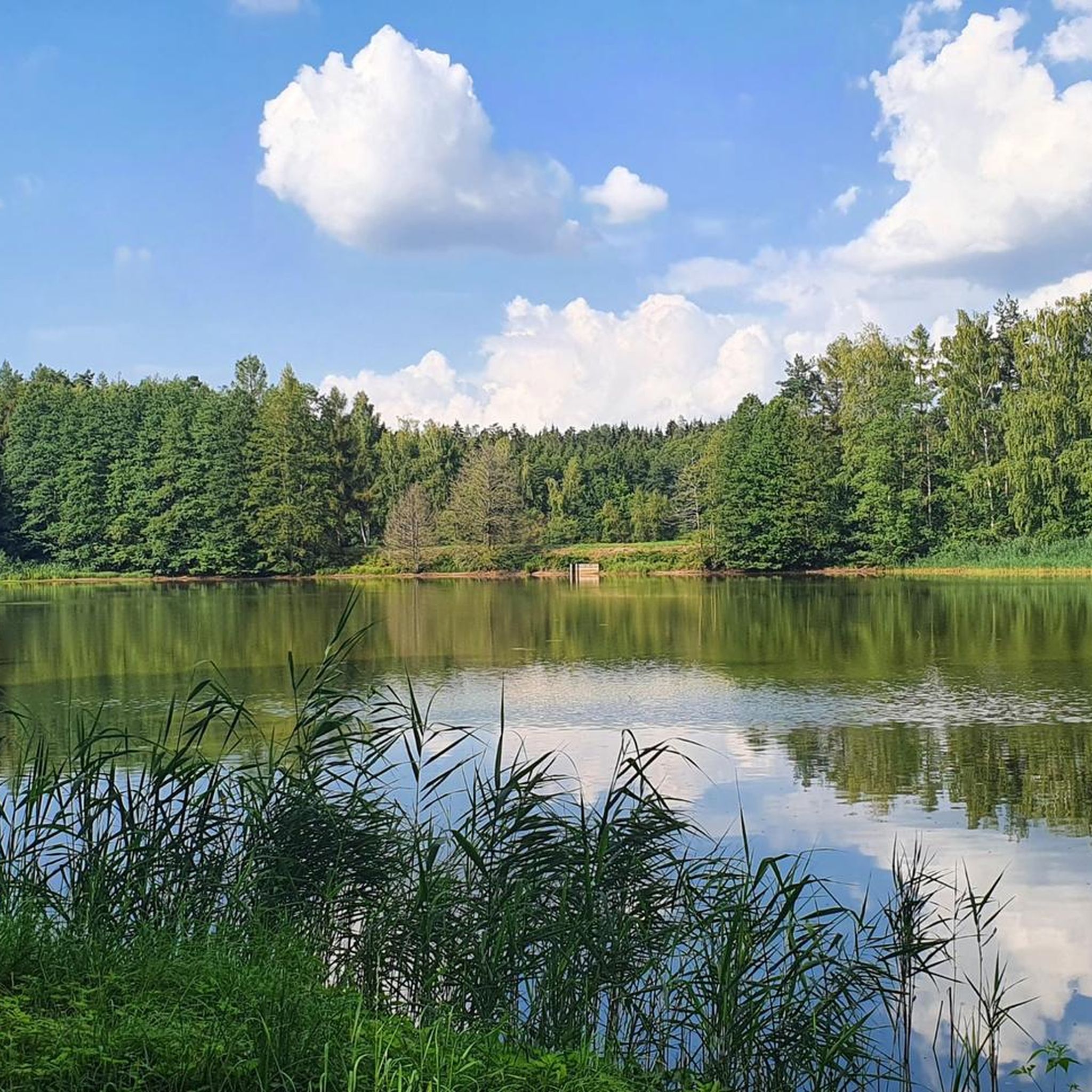
Dam that separates the large and small Rußweiher - beautiful view of both ponds
1
0

The rampart on the Rauher Kulm is a fortification at the foot of the Rauher Kulm. Gate area of the rampart Area disturbed by quarrying The Rauher Kulm, as a basalt mountain in the otherwise flat surroundings, was already visited by people in prehistoric times. The rampart made of basalt blocks runs around the foot of the mountain. Finds point to the Bronze Age, the Celts, the time of the Carolingians and the Slavic settlement chambers. Fighting took place during the time of the Hungarian invasions. Even if the rampart has been disturbed by later interventions, including the creation of an English garden across the entire mountain or the mining of the basalt in quarries, the course can be recognized from the basalt boulders. There is a lower main rampart with at least two gate areas and another fortified area at medium height. The hilltop castle is, however, classified as largely late medieval. Several burial mounds are also known. It is assumed that the settlement was located within the protective wall, so that it was not just a refuge. The predominantly stone remains were reinforced by wooden structures, among other things. There is evidence of post-and-slot walls, kennel-shaped walls and additionally secured gate areas. The cartographer Johann Christoph Stierlein made a drawing of the Rauher Kulm and recorded both the rampart and the hilltop castle.[1] The rampart was researched at the beginning of the 20th century by Adalbert Neischl on behalf of the Nuremberg Natural History Society and Hugo Obermaier, who completed Neischl's work. Hans Losert has been carrying out excavations for over ten years and is responsible for the scientific analysis.
1
0

The ring wall itself dates back to the time of the Celts and probably served as a refuge or place of worship. The remains of the ramparts are still clearly visible and make for an exciting exploration tour. The climb to the summit is a bit strenuous, but the view and the historic atmosphere definitely make the effort worthwhile.
4
0

Great secluded idyllic place with rest bench
2
1

A basalt cone about 641 meters high around five kilometers east of Kemnath made history. One of the oldest castles in the Upper Palatinate was located on its summit. Waldeck Castle was first mentioned in documents in 1124. The castle complex has been excavated and restored for several decades. The Waldeck Local History and Culture Association has contributed a large part to this. Regular services are held at the St. Ägidius open-air chapel, and theater performances are also held here every year on an open-air stage with 300 seats. Performances by the Upper Palatinate State Theater are now part of the permanent cultural program.
19
0

Around the cone, hikers will find a well-developed network of paths through varied mixed forest and old beech forest stands. The newly marked paths mostly lead along well-paved forest paths, but also along natural hiking trails. The exposed basalt slopes are a valuable habitat for numerous animals and rare plants. Around 90 different lichens and mosses grow and thrive on the heat-storing basalt boulders. The Rauhe Kulm has been protected as a natural monument since 1909 and has been a nature reserve in accordance with European standards (FFH) for several years. In 2013, the Rauhe Kulm was voted Germany's most beautiful natural wonder.
8
0
Around the cone, hikers will find a well-developed network of paths through varied mixed forest and old beech forest stands. The newly marked paths mostly lead along well-paved forest paths, but also along natural hiking trails. The exposed basalt slopes are a valuable habitat for numerous animals and rare plants. Around 90 different lichens and mosses grow and thrive on the heat-storing basalt boulders. The Rauhe Kulm has been protected as a natural monument since 1909 and has been a nature reserve in accordance with European standards (FFH) for several years. In 2013, the Rauhe Kulm was voted Germany's most beautiful natural wonder.
6
1
Frequently Asked Questions
What unique geological features can I explore among Speichersdorf's natural monuments?
The region is rich in geological wonders, particularly basalt formations. The most prominent is the Circular rampart at Rauher Kulm, a striking basalt mountain that is a relic of a volcano. Its impressive basalt columns were formed over millions of years. You can also find the Rotenfels Rock Formation, characterized by its mighty, reddish rock face, which also has historical significance as a former iron ore mine.
Do any natural monuments in the region have historical significance?
Yes, several natural monuments are intertwined with history. The Waldeck Castle Ruins stand on a 641-meter-high basalt cone and are among the oldest castles in the Upper Palatinate. The Circular rampart at Rauher Kulm features remnants of a circular rampart indicating prehistoric settlement from the Celtic period. The Rotenfels Rock Formation was historically a site for iron ore mining.
Are there family-friendly natural monuments around Speichersdorf?
Absolutely. The Waldeck Castle Ruins are considered family-friendly, offering an easy ascent and a wonderful all-round view. The Osprey and White-tailed Eagle Observation Point, Großer Rußweiher, and the area Between Großer Rußweiher and Rußloheweiher are excellent for families interested in birdwatching and nature. Additionally, the Nature Trail near Tauritzmühle offers an educational and family-friendly experience with a pleasant stop at the Tauritzmühle beer garden.
What kind of plant and animal life can I expect to see?
The natural monuments offer diverse ecosystems. The Circular rampart at Rauher Kulm is home to around 90 different species of lichens and mosses thriving on its basalt boulders. The Nature Trail near Tauritzmühle educates visitors about local flora, including important tree and shrub species, flowers, grasses, mosses, and ferns, and is known for wetlands and rare orchid species. The bird sanctuaries around Großer Rußweiher are ideal for observing ospreys, white-tailed eagles, and other rare birds.
Are there hiking trails near the natural monuments?
Yes, hiking is a popular way to explore these sites. The Circular rampart at Rauher Kulm has a well-developed network of paths through varied mixed and old beech forests, leading to a 25-meter-high observation tower. The Nature Trail near Tauritzmühle is a 5.8-kilometer educational trail. For more hiking options, you can explore various routes in the region.
What outdoor activities can I do near these natural monuments?
Beyond hiking, the Speichersdorf region offers a variety of outdoor activities. You can find numerous MTB Trails around Speichersdorf, Gravel biking routes around Speichersdorf, and Road Cycling Routes around Speichersdorf. These guides provide options for different skill levels, allowing you to explore the natural beauty of the area on two wheels.
What is the best time of year to visit the natural monuments around Speichersdorf?
The natural monuments can be enjoyed year-round, but each season offers a different experience. Spring brings blooming flora, especially along the Nature Trail near Tauritzmühle. Summer is ideal for hiking and enjoying the panoramic views from Rauher Kulm. Autumn showcases vibrant fall foliage, making for picturesque walks. Even in winter, the basalt formations can be striking, though some trails might require appropriate gear.
Are there options for dining or refreshments near the natural monuments?
Yes, the Tauritzmühle, which serves as the starting point for the Nature Trail near Tauritzmühle, features a historic mill with a beer garden offering regional cuisine. This makes it a pleasant stop for refreshments before or after exploring the trail.
What should I wear when visiting the natural monuments?
Given the varied terrain, including hiking trails and basalt formations, it's recommended to wear sturdy, comfortable hiking shoes. Layered clothing is advisable to adapt to changing weather conditions, especially when ascending to viewpoints like Rauher Kulm, where it can be windier. Don't forget sun protection and rain gear, depending on the forecast.
Are there any lesser-known natural gems worth discovering in the area?
While less detailed information is publicly available, the region also includes designated natural monuments like the Siegeseiche in Kirchenlaibach and the Hadermetzen-Weiher in Speichersdorf. These are likely smaller, locally recognized natural features that offer a quieter, more intimate experience of the local landscape.
Can I reach the natural monuments by public transport?
While some natural monuments might be accessible via regional bus services to nearby towns, direct public transport to the specific sites can be limited. It is generally recommended to check local bus schedules in Speichersdorf or consider traveling by car for more flexibility in reaching these natural attractions.
Most popular routes around Speichersdorf
Most popular attractions around Speichersdorf

Get inspired with the komoot mobile app


Explore more
Extend your search for the best caves by checking out these guides of the top ones around Speichersdorf:
