Top 20 Natural Monuments around Neustadt am Kulm
Natural monuments around Neustadt am Kulm are characterized by unique geological formations and diverse ecosystems. The region is dominated by the Rauher Kulm, a prominent conical mountain formed from a volcanic plug, surrounded by basalt block fields that host specialized flora and fauna. Additionally, historical rock cellars carved into sandstone layers offer insights into both human history and serve as vital bat habitats. These natural features provide opportunities for outdoor exploration and appreciation of the area's natural heritage.
Best natural…
Last updated: August 18, 2026
Rauher Kulm Lookout Tower
Highlight • Viewpoint
Nicolaus Apel built a wooden observation tower as early as 1807. There was a movable gold-plated sun above …
Translated by Google •
Tip by

Circular rampart at Rauher Kulm
Highlight • Historical Site
Translated by Google •
Tip by

Sign up now to discover places like this
Get recommendations on the best single tracks, peaks, & plenty of other exciting outdoor places.
Sign up for free
Waldeck Castle Ruins
Highlight • Castle
Translated by Google •
Tip by

Osprey and White-tailed Eagle Observation Point, Großer Rußweiher
Highlight • Viewpoint
Translated by Google •
Tip by

Between Großer Rußweiher and Rußloheweiher
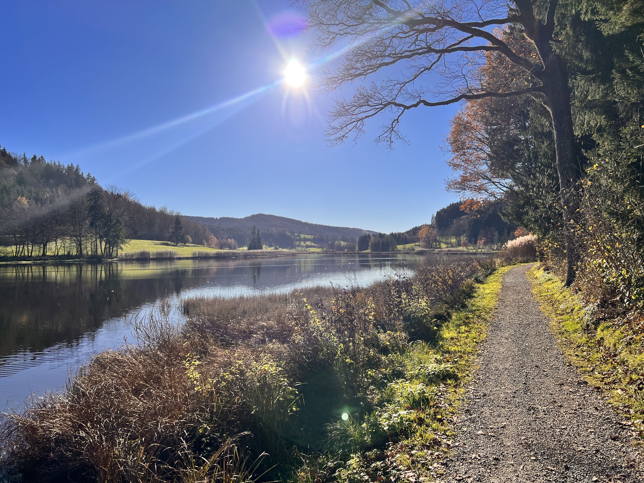
Highlight • Lake
Translated by Google •
Tip by
Sign up for free to discover even more natural monuments around Neustadt am Kulm.
Sign up for free
Already have an account?
Start today with a free account
Your next adventure awaits.
Login or Signup

Other adventures around Neustadt am Kulm

Tips from the Community


Dam that separates the large and small Rußweiher - beautiful view of both ponds
2
0

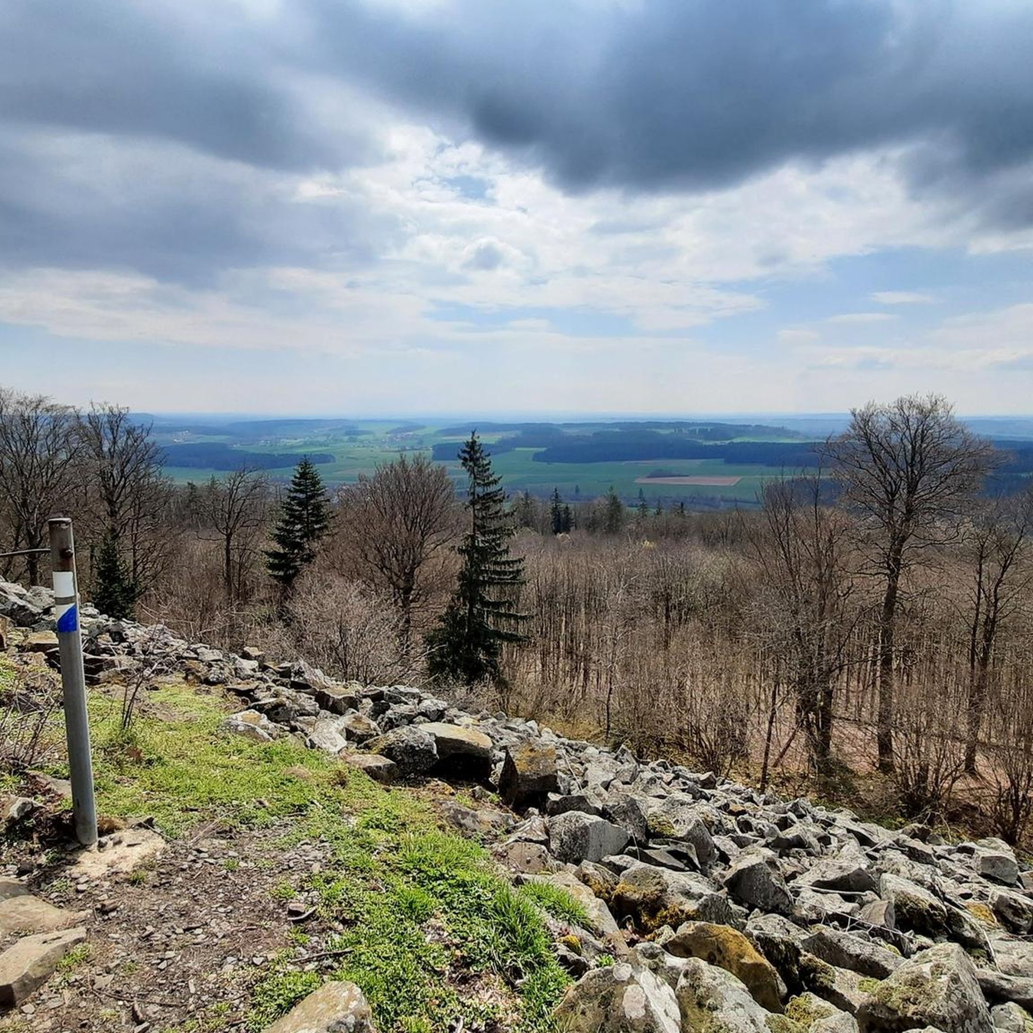
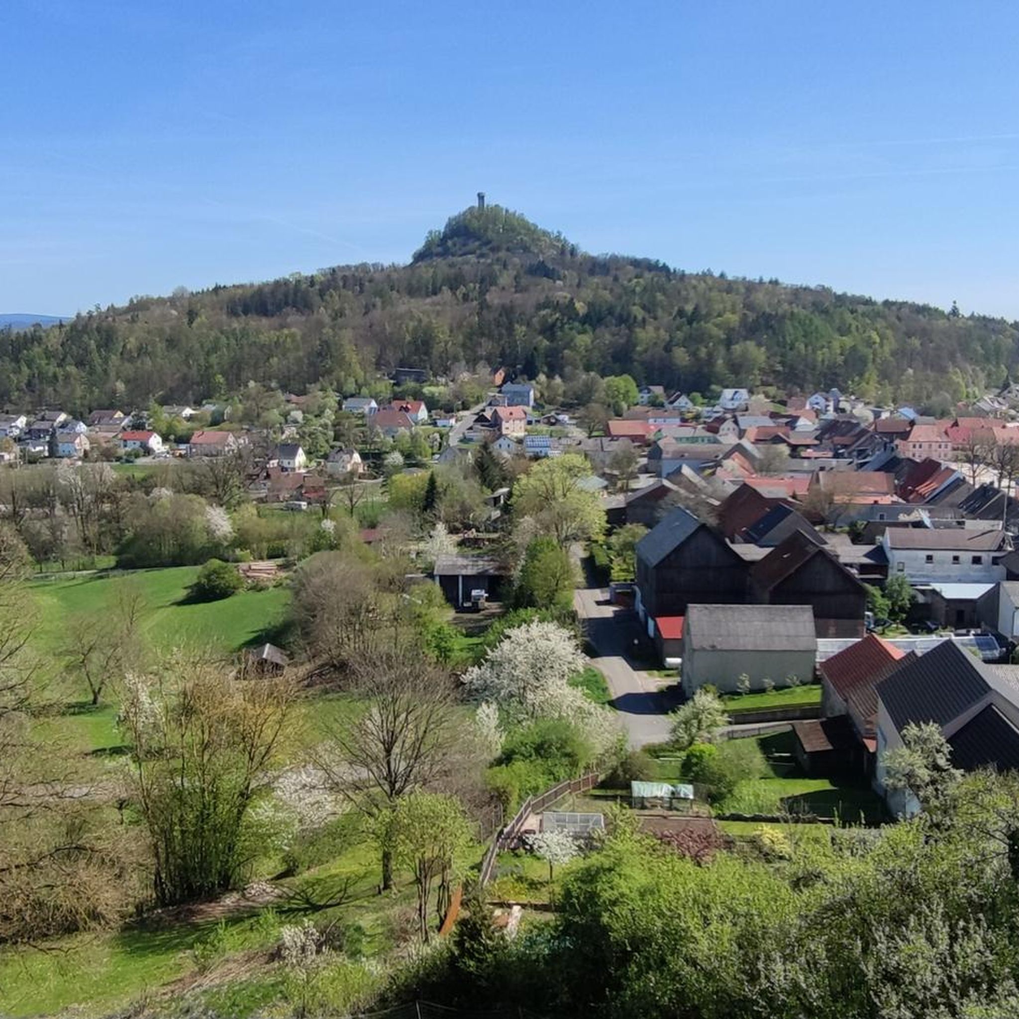
The rampart on the Rauher Kulm is a fortification at the foot of the Rauher Kulm. Gate area of the rampart Area disturbed by quarrying The Rauher Kulm, as a basalt mountain in the otherwise flat surroundings, was already visited by people in prehistoric times. The rampart made of basalt blocks runs around the foot of the mountain. Finds point to the Bronze Age, the Celts, the time of the Carolingians and the Slavic settlement chambers. Fighting took place during the time of the Hungarian invasions. Even if the rampart has been disturbed by later interventions, including the creation of an English garden across the entire mountain or the mining of the basalt in quarries, the course can be recognized from the basalt boulders. There is a lower main rampart with at least two gate areas and another fortified area at medium height. The hilltop castle is, however, classified as largely late medieval. Several burial mounds are also known. It is assumed that the settlement was located within the protective wall, so that it was not just a refuge. The predominantly stone remains were reinforced by wooden structures, among other things. There is evidence of post-and-slot walls, kennel-shaped walls and additionally secured gate areas. The cartographer Johann Christoph Stierlein made a drawing of the Rauher Kulm and recorded both the rampart and the hilltop castle.[1] The rampart was researched at the beginning of the 20th century by Adalbert Neischl on behalf of the Nuremberg Natural History Society and Hugo Obermaier, who completed Neischl's work. Hans Losert has been carrying out excavations for over ten years and is responsible for the scientific analysis.
1
0

The ring wall itself dates back to the time of the Celts and probably served as a refuge or place of worship. The remains of the ramparts are still clearly visible and make for an exciting exploration tour. The climb to the summit is a bit strenuous, but the view and the historic atmosphere definitely make the effort worthwhile.
4
0

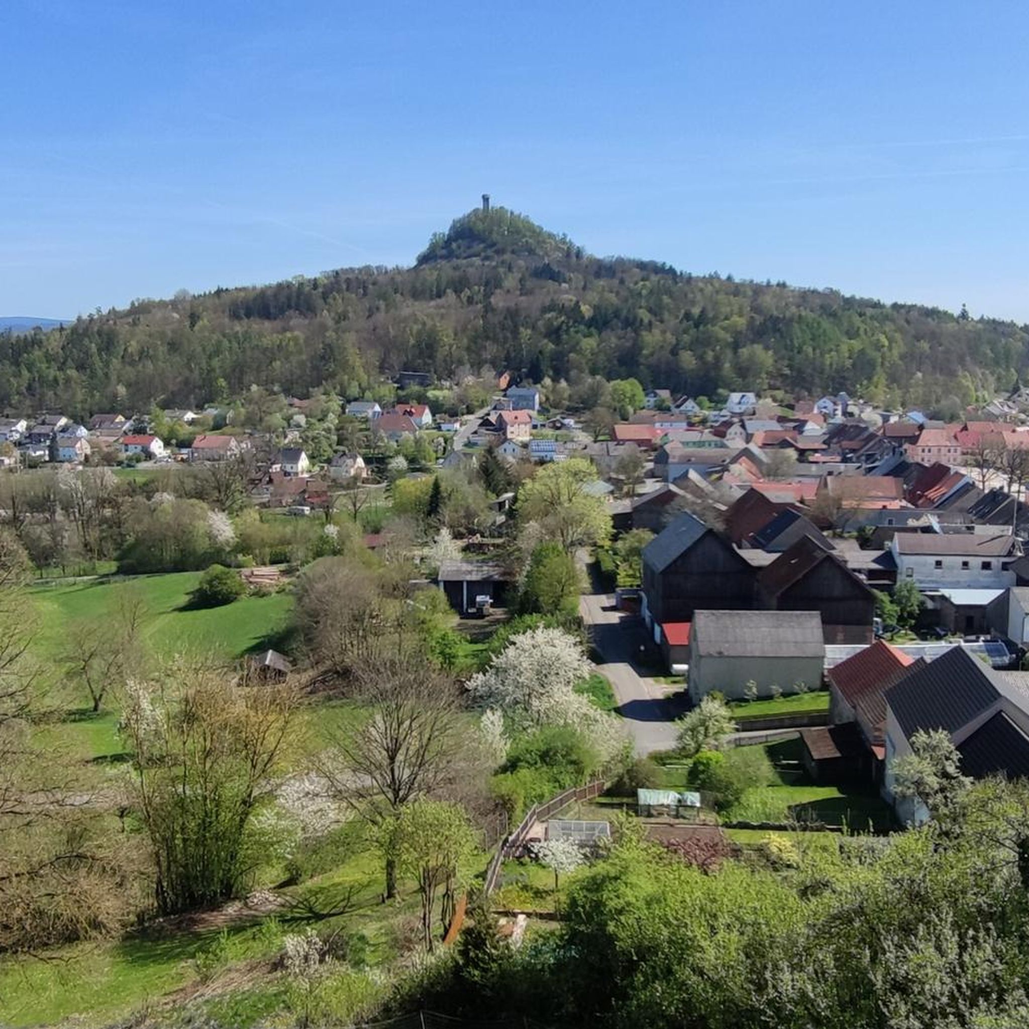
A basalt cone about 641 meters high around five kilometers east of Kemnath made history. One of the oldest castles in the Upper Palatinate was located on its summit. Waldeck Castle was first mentioned in documents in 1124. The castle complex has been excavated and restored for several decades. The Waldeck Local History and Culture Association has contributed a large part to this. Regular services are held at the St. Ägidius open-air chapel, and theater performances are also held here every year on an open-air stage with 300 seats. Performances by the Upper Palatinate State Theater are now part of the permanent cultural program.
19
0

Around the cone, hikers will find a well-developed network of paths through varied mixed forest and old beech forest stands. The newly marked paths mostly lead along well-paved forest paths, but also along natural hiking trails. The exposed basalt slopes are a valuable habitat for numerous animals and rare plants. Around 90 different lichens and mosses grow and thrive on the heat-storing basalt boulders. The Rauhe Kulm has been protected as a natural monument since 1909 and has been a nature reserve in accordance with European standards (FFH) for several years. In 2013, the Rauhe Kulm was voted Germany's most beautiful natural wonder.
8
0
Around the cone, hikers will find a well-developed network of paths through varied mixed forest and old beech forest stands. The newly marked paths mostly lead along well-paved forest paths, but also along natural hiking trails. The exposed basalt slopes are a valuable habitat for numerous animals and rare plants. Around 90 different lichens and mosses grow and thrive on the heat-storing basalt boulders. The Rauhe Kulm has been protected as a natural monument since 1909 and has been a nature reserve in accordance with European standards (FFH) for several years. In 2013, the Rauhe Kulm was voted Germany's most beautiful natural wonder.
6
1
The Rauhe Kulm rises 682 metres high from the middle of the landscape and is visible from all directions. It is surrounded by the Fichtel Mountains to the north, the Steinwald to the east, the heights of the Franconian Jura to the south and the Franconian Switzerland to the west. It owes its striking shape to its volcanic origins around 20 million years ago. The exposed basalt slopes are a valuable habitat for numerous animals and rare plants. Around 90 different lichens and mosses grow and thrive on the heat-storing basalt boulders. The Rauhe Kulm has been protected as a natural monument since 1909 and has been a nature reserve in accordance with European standards (FFH) for several years. In 2013, the Rauhe Kulm was voted Germany's most beautiful natural wonder.
9
1
Frequently Asked Questions
What unique geological features can I explore around Neustadt am Kulm?
The region is dominated by the Circular rampart at Rauher Kulm, a distinctive conical mountain that is a former volcanic plug. This site features impressive basalt block fields, which are special habitats formed by the weathering of basalt rock. You can also explore the historical Felsenkeller (rock cellars) carved into steep sandstone layers, revealing various sedimentary structures.
Are there any historical sites among the natural monuments?
Yes, several natural monuments also hold historical significance. The Circular rampart at Rauher Kulm itself has remains of Celtic ramparts, possibly used as a refuge or place of worship. Additionally, the Waldeck Castle Ruins, located on a 641-meter high basalt cone, is one of the oldest castles in the Upper Palatinate, first mentioned in 1124.
What kind of wildlife can be observed in the natural monuments?
The basalt block fields around the Rauher Kulm are home to numerous specialized, rare, and endangered plant species, including around 90 different lichens and mosses. The Felsenkeller (rock cellars) serve as crucial winter quarters for highly endangered bat species like the brown long-eared bat and the fringed myotis. The nature reserves like Between Großer Rußweiher and Rußloheweiher and Großer Hirschbergweiher are known for diverse birdlife, including rare birds, and are among the oldest and most valuable nature reserves in Bavaria.
Are there family-friendly natural monuments or activities?
Many natural monuments in the area are suitable for families. The Waldeck Castle Ruins offer an easy ascent and a wonderful all-round view, making it a great excursion. The lake areas like Between Großer Rußweiher and Rußloheweiher and Großer Hirschbergweiher are ideal for observing waterfowl and enjoying nature. The Osprey and White-tailed Eagle Observation Point, Großer Rußweiher also provides an engaging experience for all ages with information boards about the birds.
What hiking opportunities are available near the natural monuments?
The Circular rampart at Rauher Kulm is surrounded by a well-developed network of paths through varied mixed and old beech forests. You can find numerous hiking routes, including easy and moderate options, such as the 'Rauher Kulm Lookout Tower – Circular rampart at Rauher Kulm loop from Neustadt am Kulm' (2.8 km, easy) or the 'Circular rampart at Rauher Kulm – Rauher Kulm Lookout Tower loop from Neustadt am Kulm' (8.8 km, moderate). For more hiking ideas, explore the Hiking around Neustadt am Kulm guide.
Are there other outdoor activities besides hiking near these natural monuments?
Yes, the area around Neustadt am Kulm offers diverse outdoor activities. You can find several mountain biking trails, such as the 'View of Rauher Kulm – Pichlberger Cross loop from Neustadt am Kulm' (26.5 km, moderate). Road cycling enthusiasts can enjoy routes like the 'View of Joseftal – View of Rauher Kulm loop from Kemnath-Neustadt' (60.1 km, moderate). For more details, check out the MTB Trails around Neustadt am Kulm guide and the Road Cycling Routes around Neustadt am Kulm guide.
What is the best time of year to visit the natural monuments around Neustadt am Kulm?
The natural monuments are beautiful year-round. Spring and autumn offer pleasant temperatures for hiking and enjoying the changing foliage. Summer is ideal for exploring the basalt block fields and observing wildlife around the lakes. Even in winter, the Felsenkeller (rock cellars) provide a stable environment for bats, and the landscape can be quite picturesque for winter walks.
Where can I find parking when visiting the natural monuments?
Parking is generally available near popular natural monuments and trailheads. For instance, when visiting the Rauher Kulm, there are designated parking areas such as 'Parking Lot P2 Rauher Kulm' in Neustadt am Kulm, which serves as a starting point for various loops around the mountain.
What do visitors enjoy most about the natural monuments in this region?
Visitors frequently praise the unique geological formations, especially the Rauher Kulm, which was voted Germany's most beautiful natural wonder in 2013. The panoramic views from sites like Waldeck Castle Ruins are highly appreciated. The well-maintained hiking trails through varied forests and the opportunity to observe diverse flora and fauna in the nature reserves also receive positive feedback.
Are the natural monuments around Neustadt am Kulm dog-friendly?
Generally, dogs are welcome on trails and in natural areas around Neustadt am Kulm, especially on the well-developed network of paths around the Rauher Kulm. However, always keep dogs on a leash, especially in nature reserves and near wildlife observation points like those around Großer Rußweiher, to protect the local fauna and ensure a pleasant experience for all visitors.
Can I visit the Felsenkeller (rock cellars)?
Yes, one of the Felsenkeller on Sandbergweg has been made accessible to visitors and is illuminated. While the front sections are partly bricked, the rear parts showcase the natural rock formations. These cellars are historically significant and also serve as important winter quarters for endangered bat species.
What makes the basalt block fields around Rauher Kulm special?
The basalt block fields are unique habitats formed by the weathering of basalt rock. They create special microclimates, with cold air emerging at the base in summer and warm air in winter. This environment supports numerous specialized, rare, and endangered plant species, including montane and alpine varieties, as well as around 90 different lichens and mosses that thrive on the heat-retaining basalt rocks.
Most popular routes around Neustadt am Kulm
Most popular attractions around Neustadt am Kulm

Get inspired with the komoot mobile app


Explore more
Extend your search for the best caves by checking out these guides of the top ones around Neustadt am Kulm:
