Top 5 Mountain Passes around Tröstau
Best mountain passes around Tröstau are found within the Fichtelgebirge mountain range in Bavaria, Germany. This region features numerous elevated routes and natural features that serve as passages through the mountainous landscape. Tröstau is known for its diverse hiking and mountain biking trails that traverse notable peaks and natural attractions. These routes offer varied terrain and views of the Fichtel Mountains.
Best mountain passes around Tröstau
- The most popular mountain pass is Schneebergstraße – 798 m, a mountain pass…
Last updated: June 24, 2026
Wurmloh Pass
Highlight • Mountain Pass
Translated by Google •
Tip by

Schneebergsattel (949 m)
Highlight • Mountain Pass
Translated by Google •
Tip by

Sign up now to discover places like this
Get recommendations on the best single tracks, peaks, & plenty of other exciting outdoor places.
Sign up for free
Schneebergstraße – 798 m
Highlight • Mountain Pass
Translated by Google •
Tip by

Bench with Information Plaque at Wurmloh Pass
Highlight • Mountain Pass
Translated by Google •
Tip by

Waldsteinstraße Pass summit (783 m)
Highlight • Mountain Pass
Translated by Google •
Tip by

Sign up for free to discover even more mountain passes around Tröstau.
Sign up for free
Already have an account?
Start today with a free account
Your next adventure awaits.
Login or Signup
Popular around Tröstau
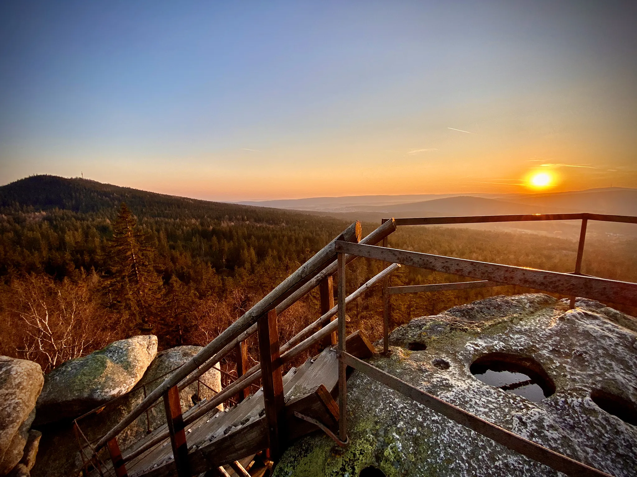
Hike granite peaks and forests in Bavaria – Fichtelgebirge High Trail
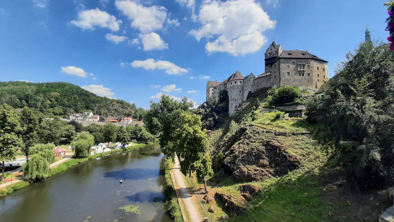
Through the heart of Europe – riding the Euregio Egrensis
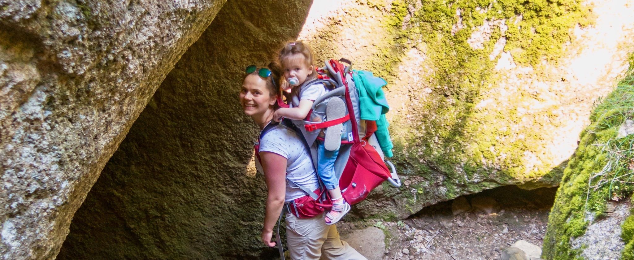
Hiking the Fichtel Mountains with a toddler
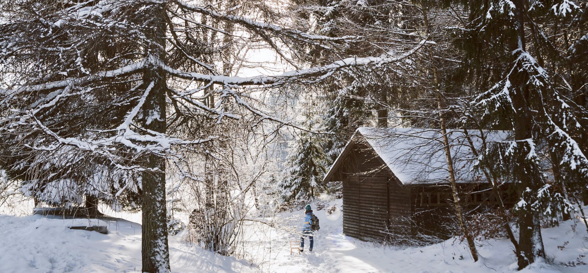
Wonderful winter – hut tours in the Fichtel Mountains
Hiking around Tröstau
Cycling around Tröstau
Road Cycling Routes around Tröstau
MTB Trails around Tröstau

Gravel biking around Tröstau
Mountain Hikes around Tröstau
Other adventures around Tröstau


Tips from the Community

Well, you have to work hard to climb the almost 800 meters 😉. The traffic is a bit tiring.
1
0

Great hiking trails
0
1

The climb is quite steep, but you are rewarded with a great descent
0
1

Nice information that makes you think.
2
1


Several long-distance hiking trails pass through here: - High-altitude trail - Lakes trail - Röslau trail - Franconian Mountain Trail - European Trail ...
1
0

You have almost reached the roof of Franconia. The signs show you the way.
5
0

The main European watershed between the Black Sea and the North Sea runs from east to west through the Wurmloh Pass. The creeks south of the crest flow via Gregnitz, Naab and Danube to the Black Sea, the creeks north via Röslau, Eger and Elbe to the North Sea. Source and more info https://de.wikipedia.org/wiki/Wurmlohpass
1
0
Frequently Asked Questions
What are some of the most notable mountain passes and elevated routes around Tröstau?
The Fichtelgebirge region around Tröstau offers several prominent elevated routes and natural features. Key examples include Schneebergstraße – 798 m, known for sporty climbs, and Waldsteinstraße Pass summit (783 m), which rewards a steep ascent with a great descent. Another significant point is Wurmloh Pass, a saddle between the Kösseine and Hohe Matze mountains, notable for marking a European main watershed.
What kind of views can I expect from the mountain passes in the Tröstau area?
Many of the elevated routes and peaks in the Fichtelgebirge, such as Ochsenkopf and Schneeberg, offer breathtaking panoramic views of the entire mountain range. From spots like Schneebergsattel (949 m), you can experience impressive vistas and appreciate the diverse natural landscape.
Are there family-friendly options among the mountain passes near Tröstau?
Yes, some areas are suitable for families. For instance, the Bench with Information Plaque at Wurmloh Pass offers a shady spot to rest and learn about the European main watershed, making it a pleasant stop for families.
What is the best time of year to visit the mountain passes around Tröstau?
The best seasons for hiking and exploring these elevated routes are spring and autumn. During these times, the natural scenery is particularly vibrant, and the weather is generally pleasant for outdoor activities.
What outdoor activities can I do near these mountain passes?
The Tröstau region is excellent for various outdoor activities. You can find numerous routes for cycling, running, and mountain biking. For example, there are many cycling tours available, such as the 'Fichtelsee – Fichtel Lake loop from Tröstau'. You can explore more options on the Cycling around Tröstau guide, the Running Trails around Tröstau guide, and the MTB Trails around Tröstau guide.
Are there challenging trails for experienced hikers or cyclists?
Absolutely. Many routes in the Fichtelgebirge offer challenging terrain. For cyclists, the Schneebergstraße – 798 m is ideal for sporty climbs and descents. The Kösseine area also features challenging trails, including the 'Kösseine Loop,' a moderately difficult (S2) 50 km mountain biking route.
What unique natural features can I discover on these mountain passes?
The region is rich in natural features. At Wurmloh Pass, you can observe the European main watershed, where streams diverge to flow towards either the Black Sea or the North Sea. Peaks like Schneeberg also offer insights into the geological history of the Fichtelgebirge.
Are there any circular routes that incorporate multiple peaks or passes?
Yes, the Fichtelgebirge is known for its extensive circular hiking and mountain biking routes. For example, Hohe Matze is often part of longer circular tours that connect with other notable areas like Luisenburg and Ochsenkopf, allowing you to explore a larger section of the mountains.
What do visitors particularly enjoy about the mountain passes around Tröstau?
Visitors appreciate the diverse terrain, the stunning panoramic views from peaks like Ochsenkopf and Schneeberg, and the opportunity for varied outdoor activities. The unique geological features, such as the European main watershed at Wurmloh Pass, also draw interest. The komoot community has contributed over 170 upvotes and 70 photos, highlighting the area's appeal.
Can I find information or signposts along the trails?
Yes, especially at key points. For instance, the Schneebergsattel (949 m) serves as a guide with several signposts at crossroads, helping you navigate towards the summit of Franconia's highest mountain.
Are there any facilities or resting spots available on the mountain passes?
While specific facilities vary, some passes offer convenient resting spots. For example, the Bench with Information Plaque at Wurmloh Pass provides a shady place to take a break and learn about the surrounding area.
Most popular routes around Tröstau
Most popular attractions around Tröstau

Get inspired with the komoot mobile app


Explore more
See even more epic mountain passes by checking out these guides around Tröstau:
