Top 20 Natural Monuments around Rohr in Niederbayern
Best natural monuments around Rohr in Niederbayern offer diverse natural landscapes for outdoor exploration. The region provides various opportunities for experiencing nature through hiking trails, ranging from easy walks to more challenging routes. The area features geological formations, rivers, and unique natural reserves. These natural sights contribute to the appeal of Rohr in Niederbayern for those seeking outdoor activities.
Best natural monuments around Rohr in Niederbayern
- The most popular natural monuments is Hopfenbach sinkhole, a waterfall where a small…
Last updated: July 8, 2026
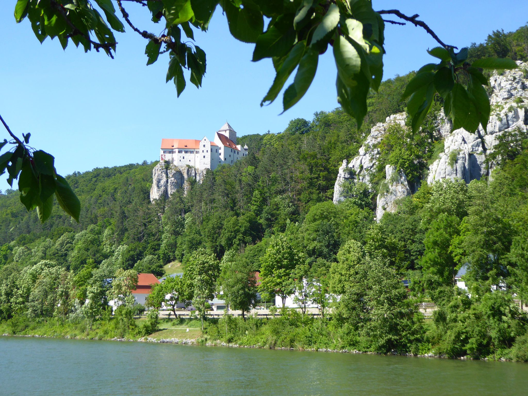
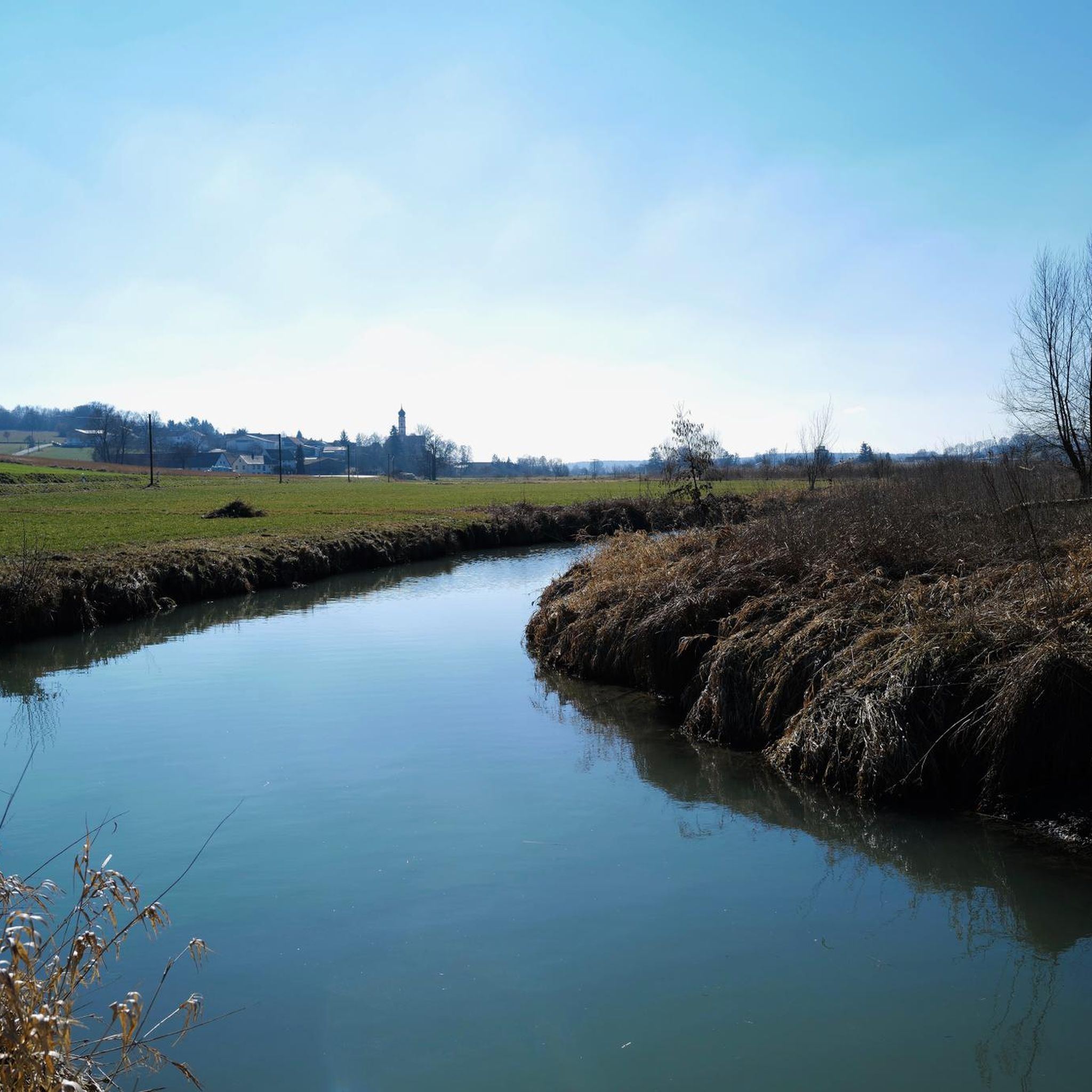
Confluence of the Altmühl and Danube
Highlight • River
Translated by Google •
Tip by

Sippenauer Moor Nature Reserve
Highlight • Natural
Translated by Google •
Tip by

Sign up now to discover places like this
Get recommendations on the best single tracks, peaks, & plenty of other exciting outdoor places.
Sign up for free
Inland dunes in the Seeholz near Offenstetten
Highlight • Natural Monument
They were created after the …
Translated by Google •
Tip by

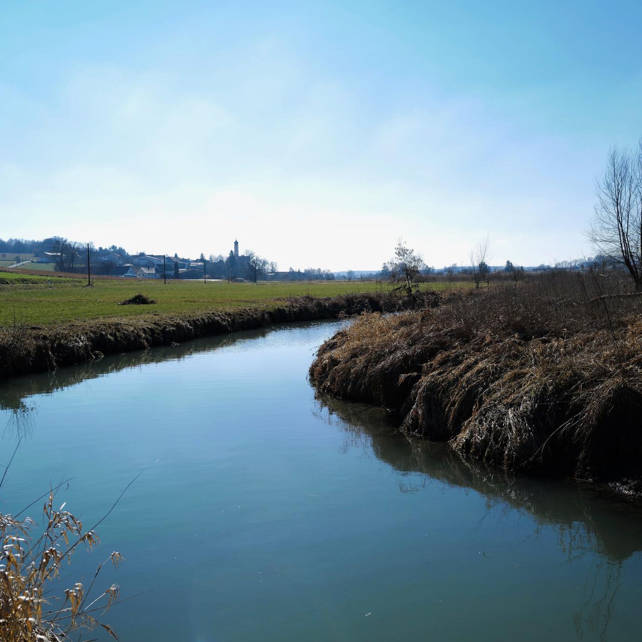
Hopfenbach sinkhole
Highlight • Waterfall
Translated by Google •
Tip by

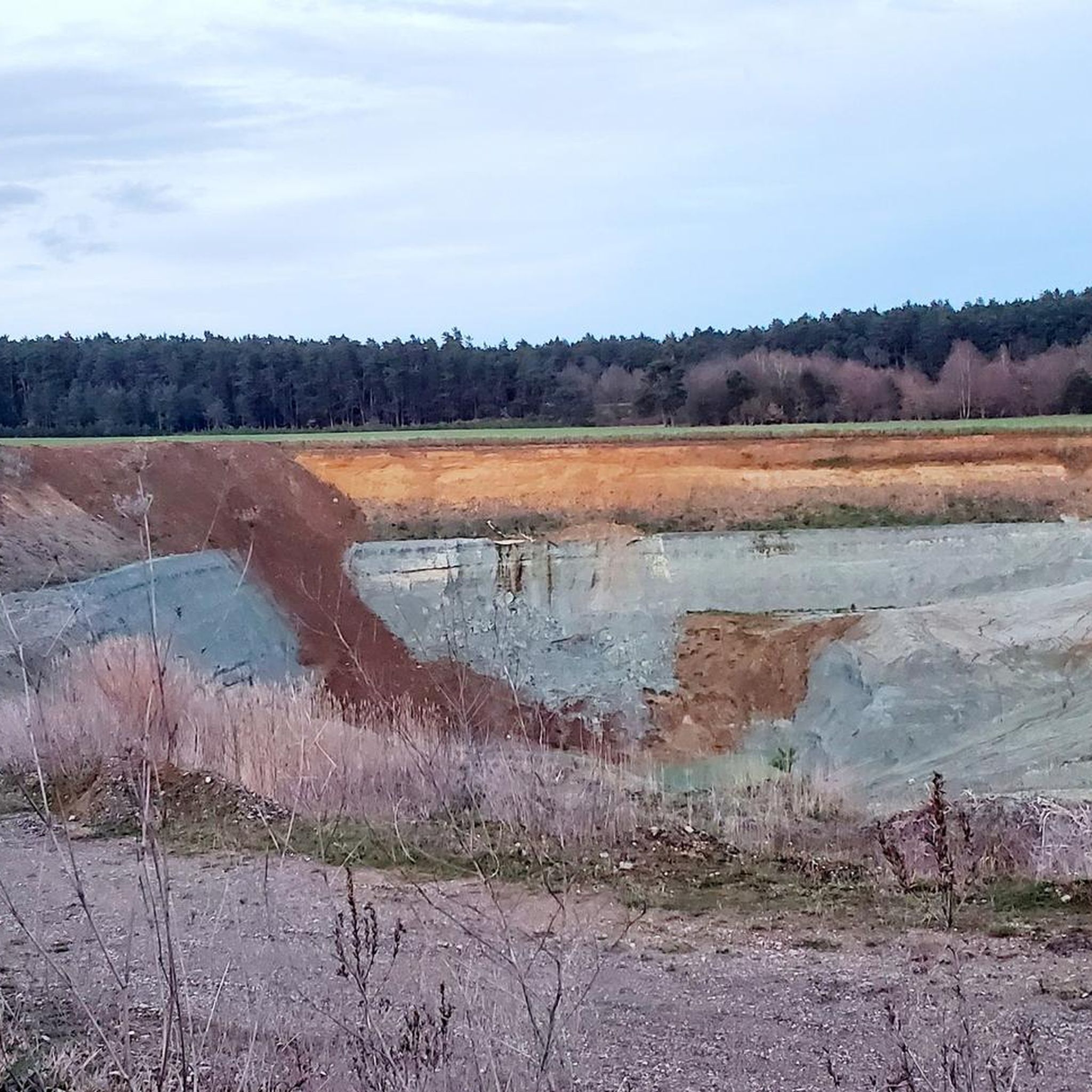
Sulphur Spring in Sippenauer Moor
Highlight • Natural Monument
On the southern edge of the Feckinger Valley, around 20 smaller springs with discharges of up to 5 l/s emerge. …
Translated by Google •
Tip by

Sign up for free to discover even more natural monuments around Rohr in Niederbayern.
Sign up for free
Already have an account?
Start today with a free account
Your next adventure awaits.
Login or Signup
Popular around Rohr in Niederbayern
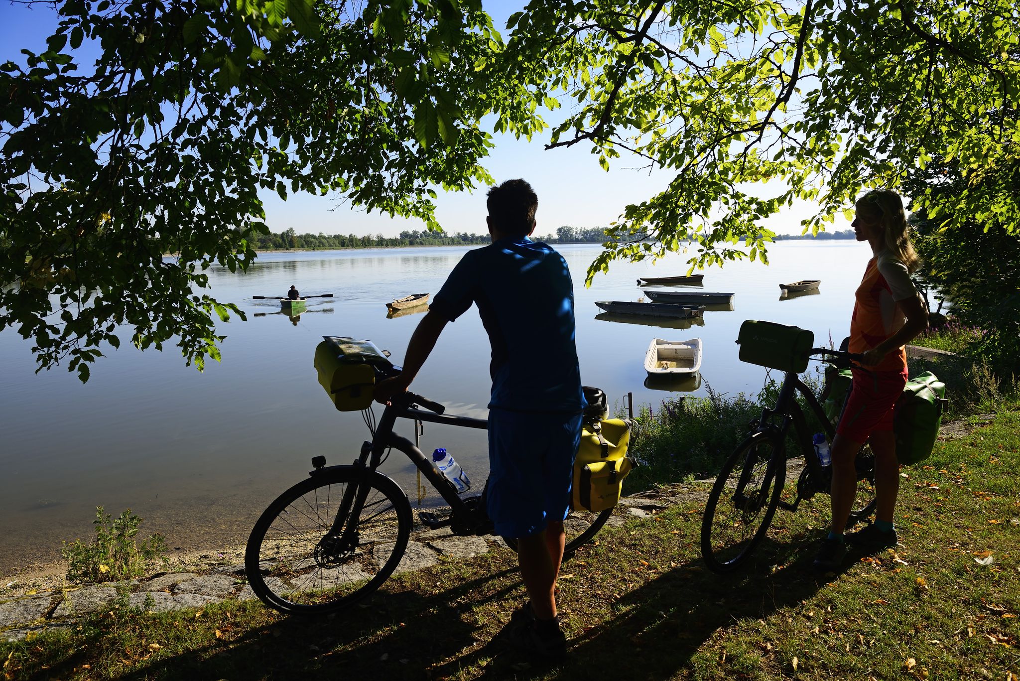
Niederbayerntour in 7 stages — Swim trunks, beer, baroque
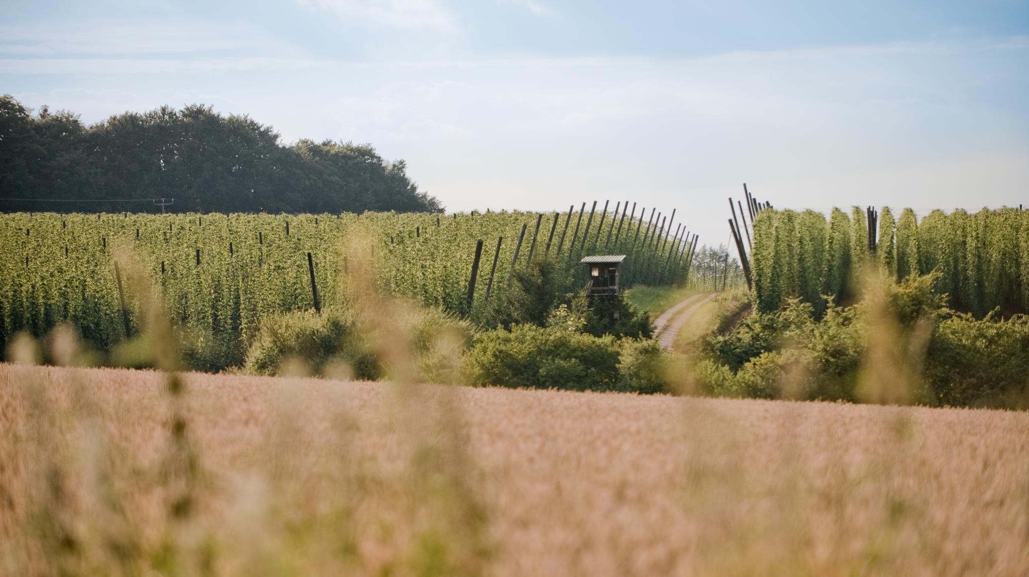
Through hop gardens and hills – hiking in the Hallertau
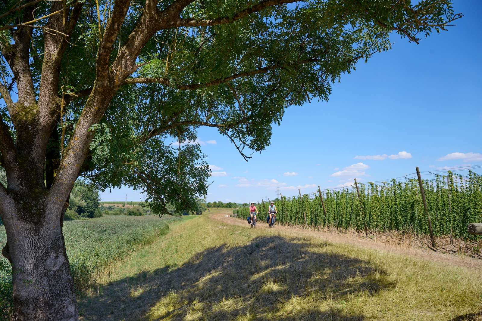
On the Niederbayerntour in 7 stages through the Bayerische Thermenland
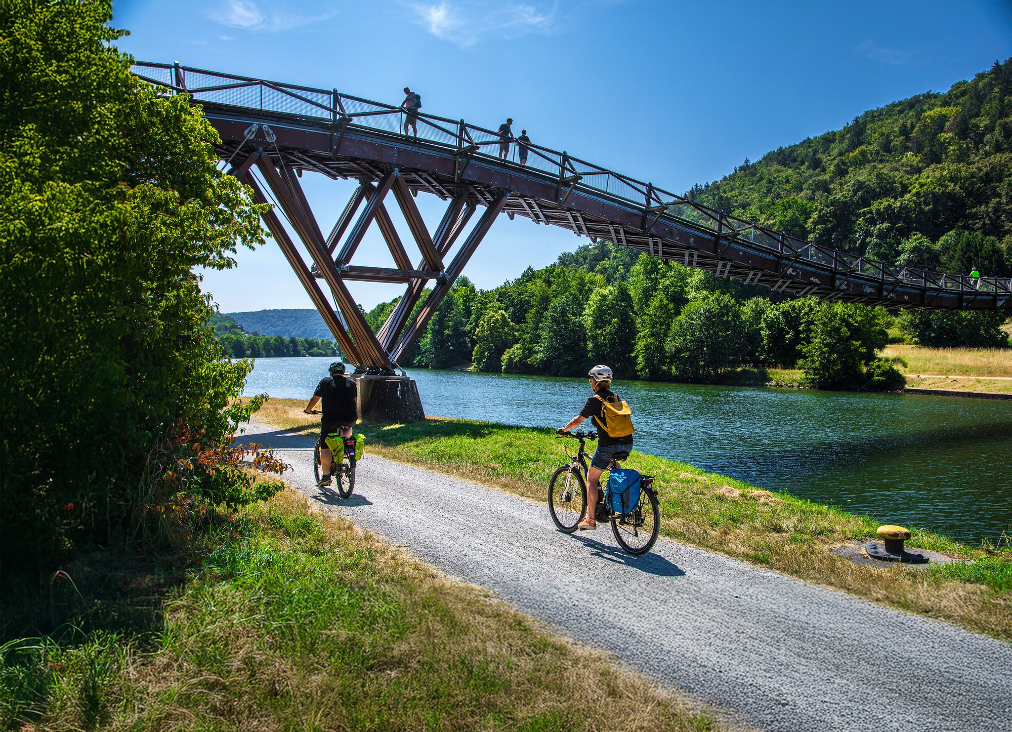
Zwischen Donau, Altmühltal & Hallertau – Erlebnis-Radtouren um Kelheim
Wander[R]Auszeit in Bayerns Herzstück
Cycling around Rohr in Niederbayern
Road Cycling Routes around Rohr in Niederbayern
Hiking around Rohr in Niederbayern
MTB Trails around Rohr in Niederbayern

Gravel biking around Rohr in Niederbayern
Other adventures around Rohr in Niederbayern


Tips from the Community

The Sippenau Moor provides a habitat for numerous rare species, some of which are found only here. It is also known for its colonies of snowdrops.
1
0

Interesting information can be read.
1
0
The sulphur springs in the Sippenauer Moor > a geotope On the southern edge of the Feckinger Valley, around 20 smaller springs with discharges of up to 5 l/s emerge. The spring water, which has a special feature in some cases and a distinct smell of hydrogen sulphide (H2S), comes from the karstified Malm beneath the Molasse Basin. The springs trace a fault zone where the Malm limestone plateau has broken up and which offers good transport routes for the karst water. Characteristic white bacterial lawns line the watercourses of the "sulphur waters". Bavarian State Office for the Environment (LfU). https://www.umweltatlas.bayern.de/standortauskunft/rest/reporting/sb_geotope/generate?additionallayerfieldvalue=273Q001
1
0
The dunes in the Seeholz of Offenstetten are a significant geotope In the Seeholz between Abensberg and Offenstetten, on high terrace gravel (Altaben's terrace), there are remains of an extensive dune landscape from the late to postglacial period. The geomorphological wealth of forms has been preserved under the forest cover (in contrast to agricultural areas). The dunes are mainly formed as line dunes directed W-E, but there are also transverse and sickle dunes. Towards the W, the relief forms flatten out to form gently undulating drifting sand covers. The geotope has been awarded the seal of approval "Bavaria's 100 most beautiful geotopes" and is explained on site with an information board. Further information at https://www.lfu.bayern.de/geologie/bayerns_schoenste_geotope/78/index.htm Bavarian State Office for the Environment (LfU), https://www.umweltatlas.bayern.de/standortauskunft/rest/reporting/sb_geotope/generate?additionallayerfieldvalue=273R011
0
0

I was there yesterday too, but there was no water to be seen.
0
0


Here man is always chilling alone!
6
0

Inland dunes near Offenstetten - The inland dunes here are a rather inconspicuous geological phenomenon. They are sand dunes covered by pine and heather-like vegetation. They were created after the last ice age (possibly last cold period), i.e. probably 10,000 years ago. The soil was not suitable for agriculture, and it became increasingly poor in nutrients as a result of the removal of material. The wavy ground, which is partly light forest, partly open, I find remarkable and worth seeing, even if it doesn't make an obvious impression. There are other inland dunes near Offenstetten. In comparison, the latter are not that impressive. Together they form the nature reserve inland dunes near Siegenburg and Offenstetten. Here in Offenstetten is also the plaque for the Geotop ("Dunes in the Seeholz").
0
0
Frequently Asked Questions
What types of natural monuments can I explore around Rohr in Niederbayern?
The area around Rohr in Niederbayern offers a variety of natural monuments, including unique geological formations, significant river confluences, and protected natural reserves. You can discover features like the Hopfenbach sinkhole, where a stream disappears into Jurassic karst, or the Confluence of the Altmühl and Danube, a notable river junction.
Are there any geological formations worth visiting near Rohr in Niederbayern?
Yes, the region is known for its geological features. A prominent example is the Inland dunes in the Seeholz near Offenstetten, which are sand dunes covered by pine and heather-like vegetation, formed after the last ice age. Another interesting site is the Hopfenbach sinkhole, a unique karst phenomenon.
What natural reserves can I visit around Rohr in Niederbayern?
The Sippenauer Moor Nature Reserve is a significant natural reserve in the area. It's known for its exceptional flora, providing a habitat for numerous rare species, and is particularly noted for its colonies of snowdrops.
Are there family-friendly natural monuments or trails in the area?
Many natural monuments around Rohr in Niederbayern are suitable for families. The Hopfenbach sinkhole, the Confluence of the Altmühl and Danube, and the Sippenauer Moor Nature Reserve are all categorized as family-friendly, offering accessible ways to experience nature.
What kind of hiking trails can I find near these natural monuments?
The region offers a range of hiking trails, from easy walks to more challenging routes. For instance, the 'Rohr Monastery with monastery church – View of Rohr loop from Rohr in Niederbayern' is an easy, nearly 1-hour hike. You can find more options for various difficulties in the hiking guides for Rohr in Niederbayern.
Are there cycling routes that pass by natural monuments?
Yes, cycling is a popular way to explore the natural sights. The cycle path along the Altmühl and Main Danube Canal takes you past the Confluence of the Altmühl and Danube. You can discover various cycling routes, including road cycling and gravel biking options, in the cycling guides for Rohr in Niederbayern.
What is the best time of year to visit the natural monuments around Rohr in Niederbayern?
The natural monuments can be enjoyed throughout the year, but spring and autumn often offer pleasant temperatures for outdoor activities and vibrant natural scenery. For specific sites like the Sippenauer Moor Nature Reserve, spring might be ideal to see the snowdrop colonies.
What unique natural phenomena can be observed in the area?
Beyond the geological formations, you can observe unique hydrological features like the Hopfenbach sinkhole. Additionally, the Sulphur Spring in Sippenauer Moor is a geotope where spring water with a distinct smell of hydrogen sulphide emerges, tracing a fault zone in the karstified Malm.
What do visitors particularly enjoy about the natural monuments here?
Visitors appreciate the diverse natural landscapes and the opportunities for outdoor exploration. The Confluence of the Altmühl and Danube offers very nice views directly from the bike path, while the Sippenauer Moor Nature Reserve is valued for its exceptional flora and tranquil environment.
Are there any natural monuments that are considered 'hidden gems'?
While not widely publicized, the Inland dunes in the Seeholz near Offenstetten are a rather inconspicuous geological phenomenon that many find remarkable. They offer a unique landscape of sand dunes covered by pine and heather-like vegetation, representing a significant geotope.
Can I find trails with varying difficulty levels near the natural monuments?
Yes, the trails around Rohr in Niederbayern cater to different fitness levels. You can find easy walks, such as the 'Forest Path in Lower Bavaria – Klosterberg loop from Rohr in Niederbayern', as well as moderate hikes like the 'Rohr i. NB to Abensberg – VIA NOVA' which involves about 1,000 ft of elevation gain. Check the specific route details for difficulty ratings.
Is there information available about parking near these natural sights?
While specific parking details for each natural monument are not always listed, many hiking and cycling routes in the region, including those near natural sights, typically have designated parking areas at trailheads or nearby villages. It's advisable to check local signage upon arrival.
Most popular routes around Rohr in Niederbayern
Most popular attractions around Rohr in Niederbayern

Get inspired with the komoot mobile app


Explore more
Extend your search for the best caves by checking out these guides of the top ones around Rohr in Niederbayern:
