Top 20 Natural Monuments around Antdorf
Natural monuments around Antdorf are characterized by a diverse landscape of rolling hills, lush meadows, and dense forests, situated between the Alps and Lake Starnberg. The region offers a variety of natural features, including significant lakes and moorlands. Visitors can explore numerous hiking trails that showcase the serene beauty of Upper Bavaria. The area provides opportunities to experience diverse aquatic ecosystems and protected natural habitats.
Best natural monuments around Antdorf
- The most popular natural monuments is Loisach outflow from Lake…
Last updated: August 18, 2026
Great Ostersee
Highlight • Lake
Translated by Google •
Tip by

Benediktbeuren moor landscape
Highlight • Natural
Translated by Google •
Tip by

Sign up now to discover places like this
Get recommendations on the best single tracks, peaks, & plenty of other exciting outdoor places.
Sign up for free
Loisach outflow from Lake Kochel
Highlight • River
Nice view from the bridge.
Translated by Google •
Tip by

Bernrieder Park Lakeside Trail
Highlight (Segment) • Trail
Translated by Google •
Tip by

Blue Gumpe Spring (Osterseen)
Highlight • Natural Monument
Translated by Google •
Tip by

Sign up for free to discover even more natural monuments around Antdorf.
Sign up for free
Already have an account?
Start today with a free account
Your next adventure awaits.
Login or Signup
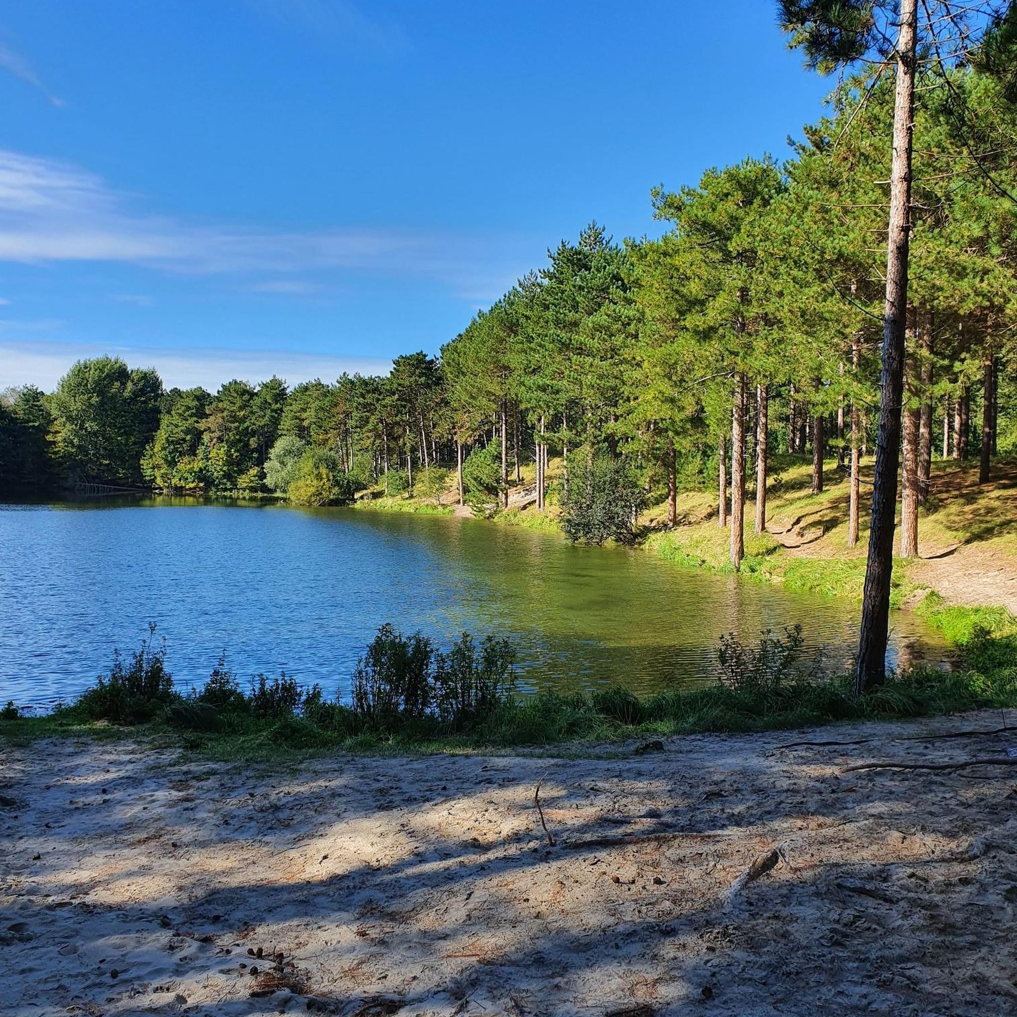
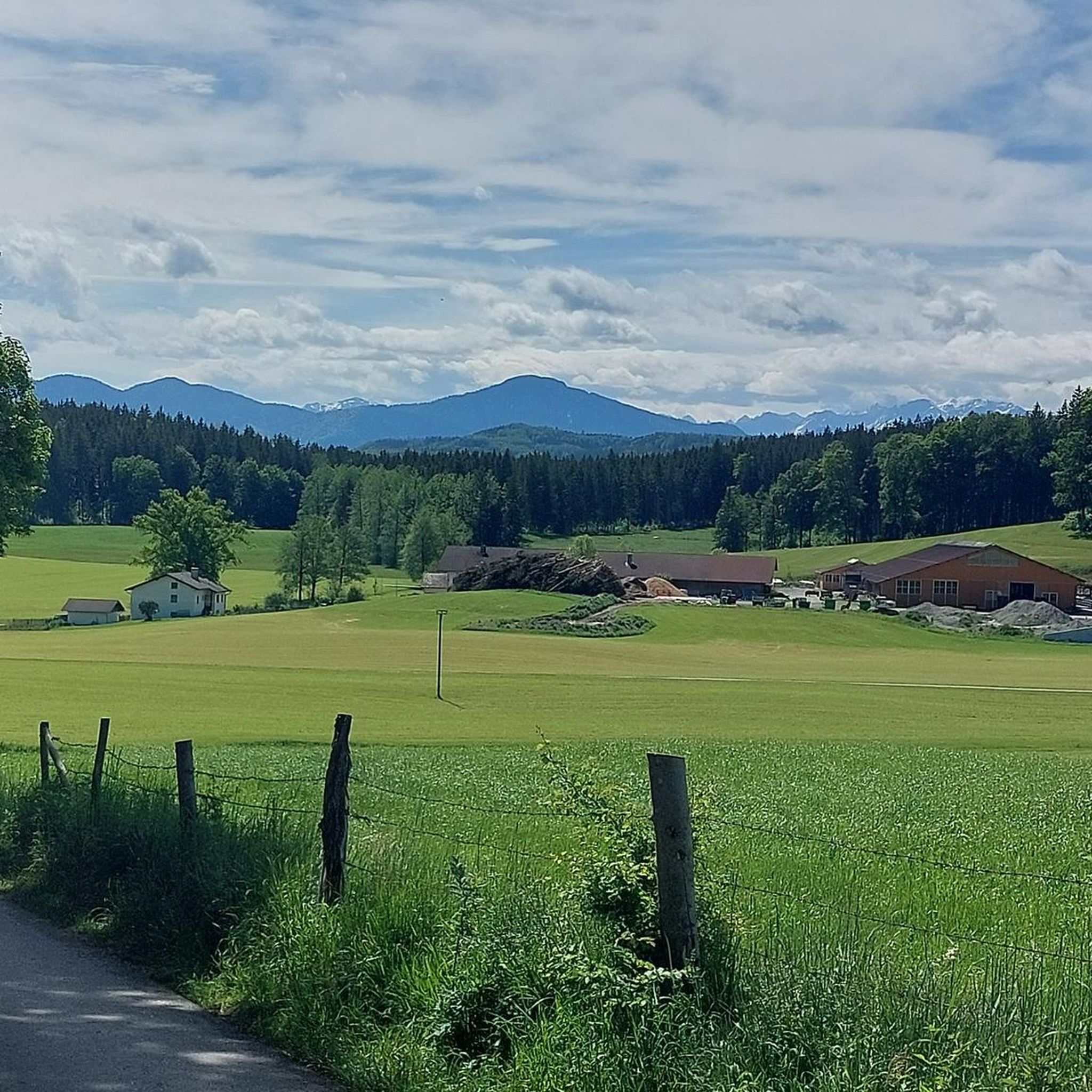
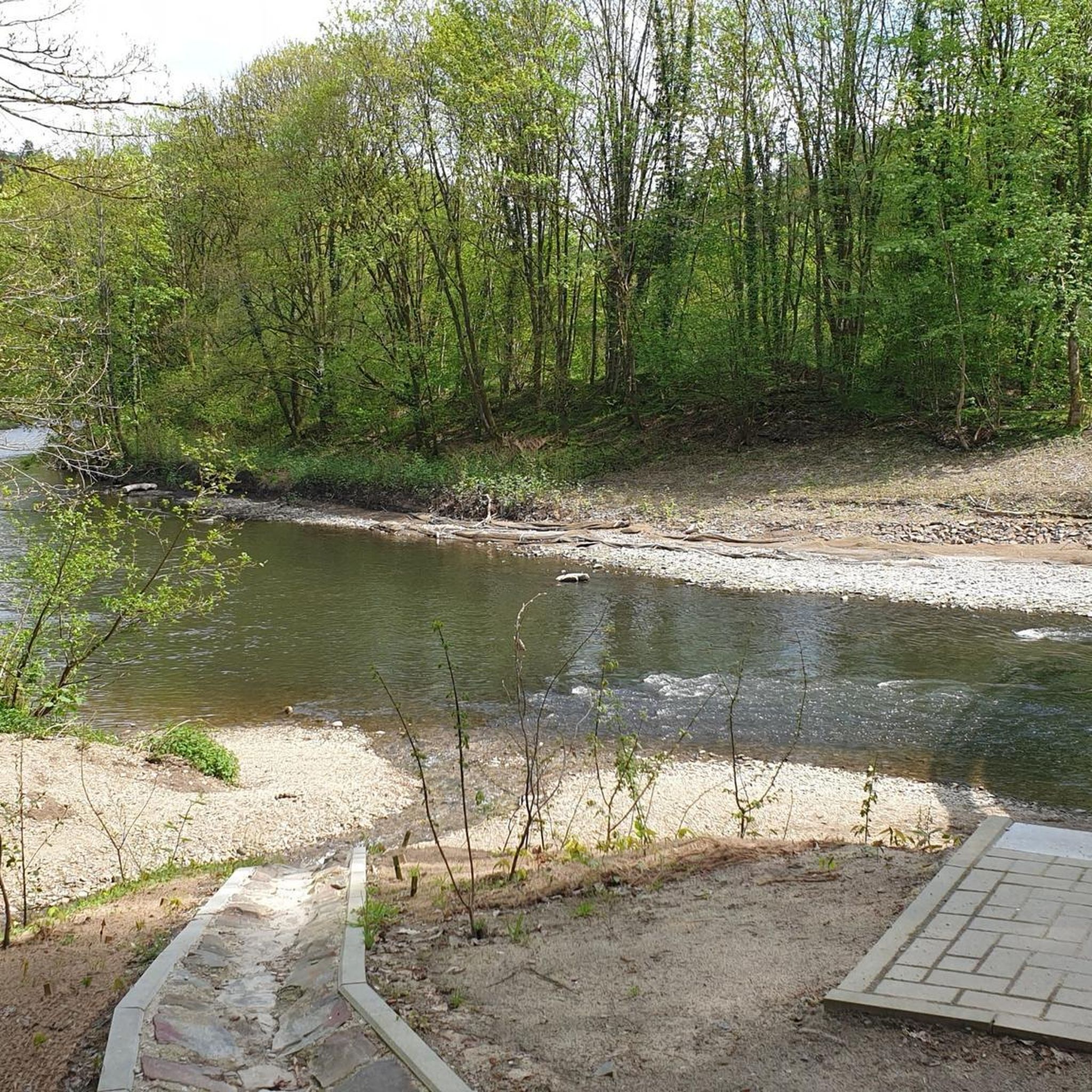
Tips from the Community

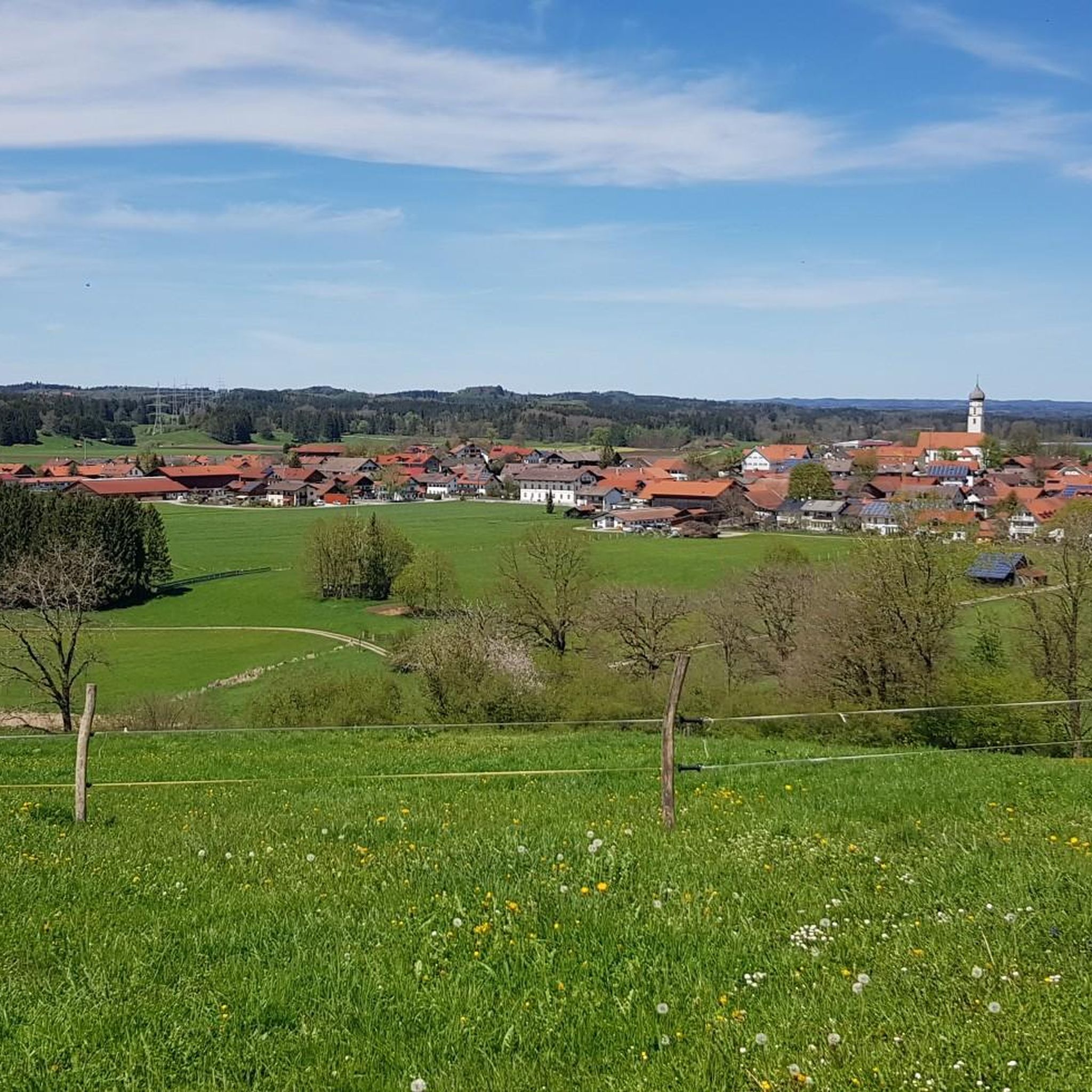
beautiful gravel road away from traffic
3
0
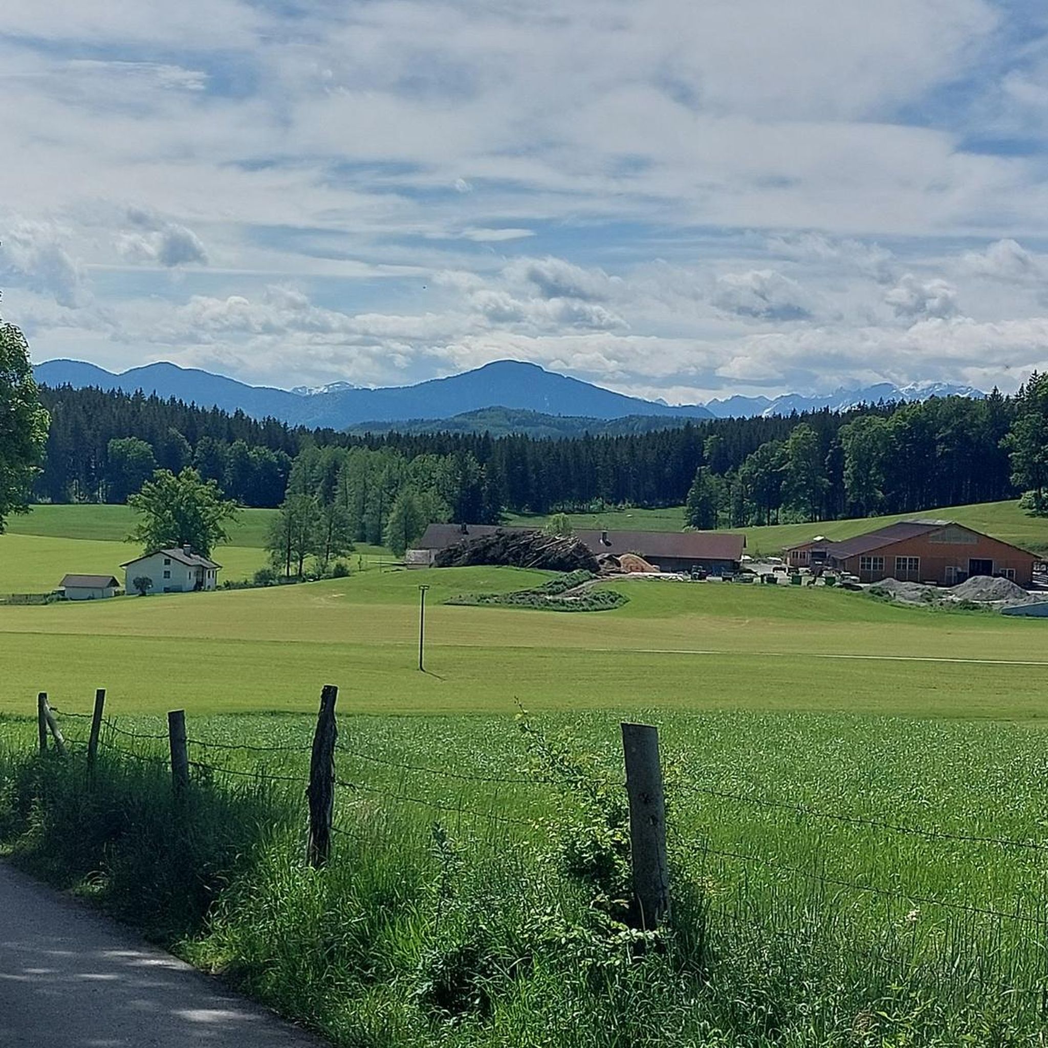
beautiful path with great views over the landscape
4
0
Beautiful dirt road through a great landscape
3
0

Really nice paths for cycling here.
4
0

The Osterseen are a group of bodies of water south of Lake Starnberg in the Weilheim-Schongau district in Upper Bavaria. The southern and central Osterseen with the Großer Ostersee belong to the municipality of Iffeldorf, the northern Osterseen from the Stechsee and the Frechensee to the municipality of Seeshaupt. Iffeldorf is around five kilometers by road northwest of Penzberg, 20 km southeast of the district town of Weilheim and 50 km south-southwest of Munich city centre. The 20 larger individual lakes have a total area of around 225 hectares and an average depth of a good nine metres. The Kleiner Gröbensee and about 15 unnamed smaller lakes, each with an area of only a few hundred square meters, are not included here, seven of which are already heavily silted up. The Osterseen and the silting-up zone bordering to the west are located in the landscape protection area "Protection of the Osterseen and their surroundings in the communities of Frauenrain, Iffeldorf and Seeshaupt". The area received this protection status as early as 1955. Since 1981 there has also been the Osterseen nature reserve with an area of 1,083 hectares. About a third of this is on the surface of the water bodies, 494 hectares are high, low and intermediate moors, 172 hectares consist of semi-natural mixed forest. Around five percent of the Osterseen landscape consists of riparian regions, silted-up areas and meadows. The nature reserve is divided into three parts, which are separated from each other by the train line of the Kochelseebahn and the state road 2063: Südliche Osterseen, Nordliche Osterseen and Frechensee. In May 1997, the Osterseen were reported to Brussels as a SPA (European bird sanctuary) and FFH area according to the Fauna-Flora-Habitat Directive. In addition to the Eggstätt-Hemhofer lake district and the Seeoner lakes, the area is the largest and most structured icefall landscape in the Bavarian Alpine foothills. The complex of boggy and nutrient-poor lakes, low, transitional and raised bogs alongside bog and swamp forests with its extraordinary diversity of species in the networked habitats, biotopes and ecological niches is of Europe-wide importance for basic scientific research. The beauty of this landscape has always attracted artists. The painter Georg Schrimpf in particular, a main representative of the New Objectivity art movement, created several oil paintings of the Osterseen in the 1930s. Source: https://de.wikipedia.org/wiki/Osterseen
6
0

Bavarian State Office for the Environment (Osterseen Icefall Landscape): https://www.lfu.bayern.de/geologie/bayerns_schoenste_geotope/33/index.htm https://www.lfu.bayern.de/geologie/bayerns_schoenste_geotope/33/doc/33_schautafel.pdf “The Blue Pump The Osterseen are mainly fed by groundwater, which emerges in numerous spring funnels. The best known is the Blaue Gumpe south of the Großer Ostersee. The walls of its spring funnel are covered with white deposits of freshwater lime, which is excreted from the lime-rich spring water. Since the groundwater has a relatively constant temperature of 10°C, the water surface does not freeze in winter. Steam hangs over the spring on cold winter days.” Bank 51 is nearby.
3
0
Bavarian State Office for the Environment (Osterseen Icefall Landscape): https://www.lfu.bayern.de/geologie/bayerns_schoenste_geotope/33/index.htm https://www.lfu.bayern.de/geologie/bayerns_schoenste_geotope/33/doc/33_schautafel.pdf “The Blue Pump The Osterseen are mainly fed by groundwater, which emerges in numerous spring funnels. The best known is the Blaue Gumpe south of the Großer Ostersee. The walls of its spring funnel are covered with white deposits of freshwater lime, which is excreted from the lime-rich spring water. Since the groundwater has a relatively constant temperature of 10°C, the water surface does not freeze in winter. Steam hangs over the spring on cold winter days.” Bank 51 is nearby.
5
1

A nice little trail goes along here
11
0
Frequently Asked Questions
What are some lesser-known natural gems to explore near Antdorf?
Beyond the most popular spots, consider visiting the Bernrieder Park Lakeside Trail. This beautiful track offers views of Lake Starnberg and leads through the park, providing a serene experience away from main roads. Another unique spot is the Blue Gumpe Spring (Osterseen), a fascinating spring pot where calcareous groundwater emerges, creating crystal-clear waters visible from a footbridge.
Are there family-friendly natural monuments around Antdorf?
Yes, several natural monuments are ideal for families. The Great Ostersee is part of a fantastic hiking area with wide views and quiet forests, perfect for discovery tours. The Benediktbeuren moor landscape offers a family-friendly circular route of approximately 23 km. Additionally, the Loisach outflow from Lake Kochel features a nice little trail and is easily accessible.
What kind of wildlife can I expect to see in the natural monuments around Antdorf?
The diverse landscapes around Antdorf, including moorlands, forests, and lake areas, support a variety of wildlife. In the moorlands, such as the Benediktbeuren moor landscape, you might spot unique bird species and insects adapted to wetland environments. Forested areas and the quiet shores of lakes like the Great Ostersee are home to various songbirds and small mammals. The region's commitment to preserving these habitats ensures a chance to observe diverse flora and fauna.
What outdoor activities can I do near these natural monuments?
The region around Antdorf offers a wide range of outdoor activities. You can find numerous cycling routes, including road cycling and touring bicycle options, that pass by or through these natural areas. For example, there are easy touring bicycle routes like the 'Antdorf – Panoramic view of the southern Osterseen loop'. Mountain biking is also popular, with trails like the 'Loisach Riverside Trail' offering more challenging terrain. You can explore various routes for these activities on the Road Cycling Routes around Antdorf, Cycling around Antdorf, and MTB Trails around Antdorf guide pages.
Are there hiking trails near the natural monuments around Antdorf?
Yes, the area is rich in hiking opportunities. The Osterseen are known as a fantastic hiking area with extensive discovery tours. The Benediktbeuren moor landscape features a 23 km family-friendly circular route. Additionally, the Bernrieder Park Lakeside Trail offers a pleasant walk along Lake Starnberg. The broader region also includes trails like the 'Lanzenbachweg' and the 'Moor and drumlin route Eberfing'.
What is the best time of year to visit the natural monuments around Antdorf?
The region's natural monuments are beautiful year-round, but the best time depends on your preferred activities. Summer is ideal for swimming and boating in lakes like the Staffelsee and the Great Ostersee. Spring and autumn offer pleasant temperatures for hiking and cycling, with vibrant foliage or blooming landscapes. Even winter can be charming, with opportunities for serene walks through snow-covered forests and moorlands, though some trails might be less accessible.
What natural features define the landscape around Antdorf?
Antdorf is situated in a region characterized by a diverse natural landscape. Key features include rolling hills, lush meadows, and dense forests. The area is particularly known for its significant lakes, such as the Staffelsee and the Osterseen, and extensive moorlands like the Benediktbeuren moor landscape. Rivers like the Loisach, with its distinctive outflow from Lake Kochel, also contribute to the unique natural beauty.
Are there any circular walks among the natural monuments near Antdorf?
Yes, the Benediktbeuren moor landscape offers a notable circular route. This family-friendly tour is approximately 23 km long and takes you from Benediktbeuern via Kochel am See and Schlehdorf, showcasing the unique natural experience of this extensive nature reserve. Many other hiking and cycling routes in the area can also be enjoyed as circular tours.
What do visitors enjoy most about the natural monuments around Antdorf?
Visitors particularly appreciate the serene beauty and diverse natural experiences. The Osterseen are loved for their wide views, glittering waters, and quiet forests, inviting extensive discovery tours. The Loisach outflow from Lake Kochel is praised for its turquoise blue and emerald green waters and the nice trail alongside it. The Benediktbeuren moor landscape is valued for its unique natural environment and the opportunity to observe many small details often overlooked.
Are the natural monuments around Antdorf accessible by public transport?
While specific public transport details for each individual monument may vary, the region around Antdorf is generally well-connected within Bavaria. Many towns near the natural monuments, such as Benediktbeuern (for the moor landscape) or Bernried (for the lakeside trail), are accessible by regional trains or buses. It's advisable to check local transport schedules for the most direct routes to your chosen destination.
Can I bring my dog to the natural monuments and trails?
Generally, dogs are welcome on many trails and in natural areas around Antdorf, especially if kept on a leash. For instance, the Bernrieder Park Lakeside Trail and the trails around the Osterseen are popular for dog walks. However, always be mindful of local regulations, especially in nature reserves like the Benediktbeuren moor landscape, where specific rules might apply to protect wildlife.
Most popular routes around Antdorf
Most popular attractions around Antdorf

Get inspired with the komoot mobile app


Explore more
Extend your search for the best caves by checking out these guides of the top ones around Antdorf:
