Top 4 Mountain Passes around Enzklösterle
Best mountain passes around Enzklösterle are found in the Northern Black Forest, a region characterized by mountainous terrain and the valley of the Großen Enz. The area offers numerous opportunities for experiencing elevated landscapes and challenging routes, with elevations reaching up to 924 meters at the Hirschkopf. While conventional mountain passes are not explicitly named, the region provides similar experiences through its extensive network of hiking and cycling trails that involve significant elevation changes and panoramic vistas.
Best mountain passes…
Last updated: July 8, 2026
Schwarzmiss Pass Ascent from Reichental
Highlight (Segment) • Mountain Pass
Translated by Google •
Tip by

Schwarzmiss Pass (933 m)
Highlight • Mountain Pass
Showing Translation
Tip by

Sign up now to discover places like this
Get recommendations on the best single tracks, peaks, & plenty of other exciting outdoor places.
Sign up for free
Besenfelder Steige
Highlight (Segment) • Climb
Translated by Google •
Tip by

Zweifelt Pass route from Zwickgabel to Tonbach
Highlight (Segment) • Mountain Pass
Translated by Google •
Tip by

Ascent from Hilpertsau to Schwarzmiss Pass
Highlight (Segment) • Mountain Pass
Translated by Google •
Tip by

Start today with a free account
Your next adventure awaits.
Login or Signup
Popular around Enzklösterle
The Enztal cycle path – From the Black Forest to the Neckar River
The Black Forest Crossing – From north to south in eight days
Where the forest whispers and the trails enchant
Right into the adventure – experience nature in Baden-Württemberg
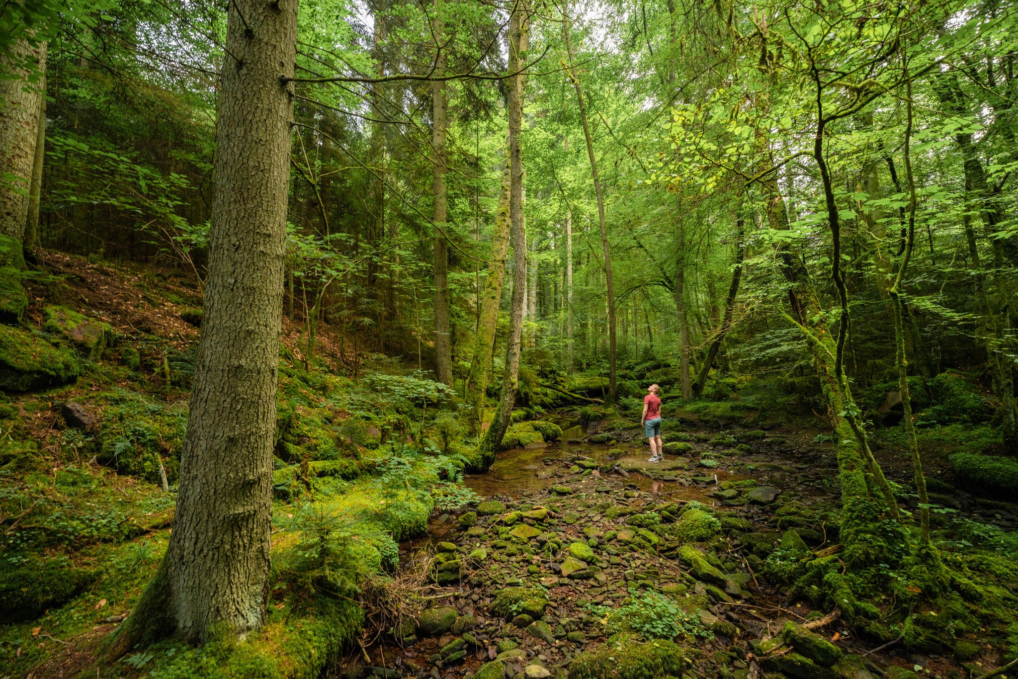
Superb adventures – the best hiking Tours in the Northern Black Forest

Hiking in the summer resort of the Northern Black Forest
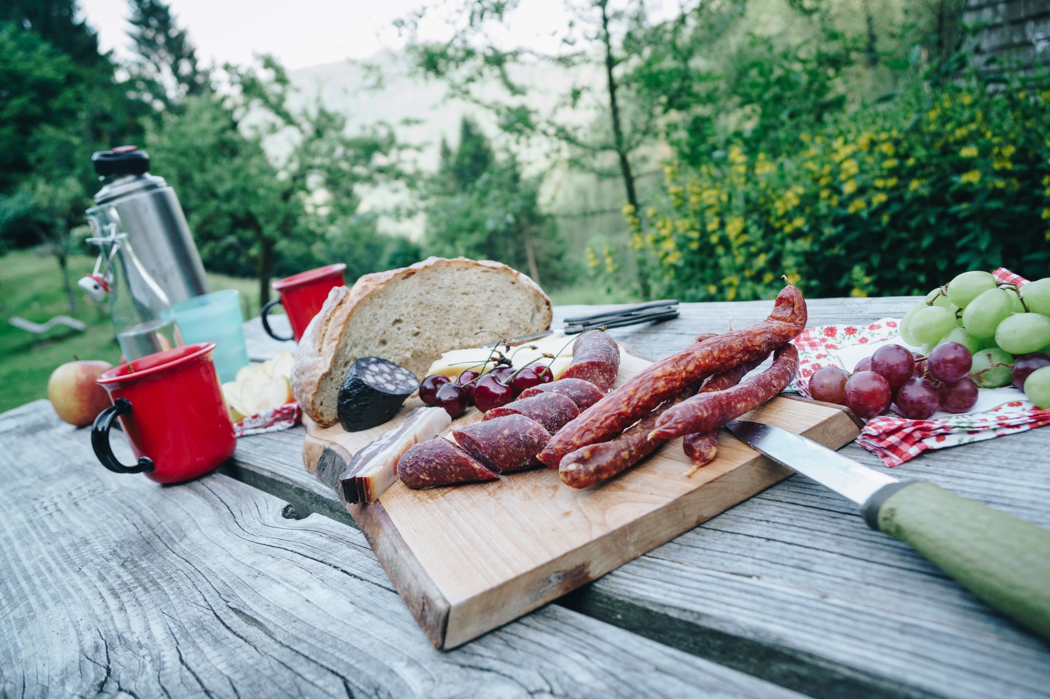
Cheese, blueberries and ham – snacks on Black Forest Genießerpfade
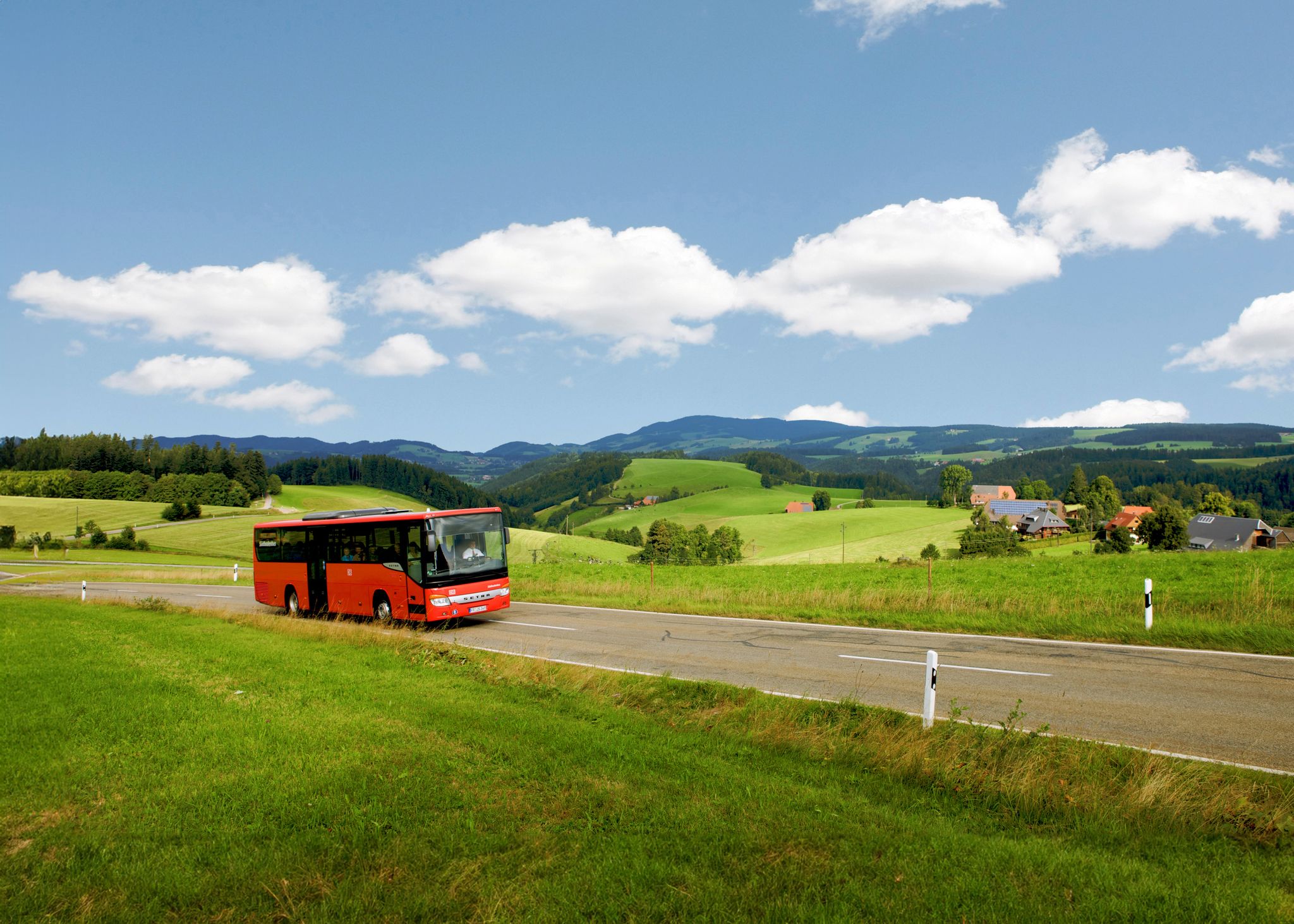
Sustainable travel – hikes that you can enjoy without a car
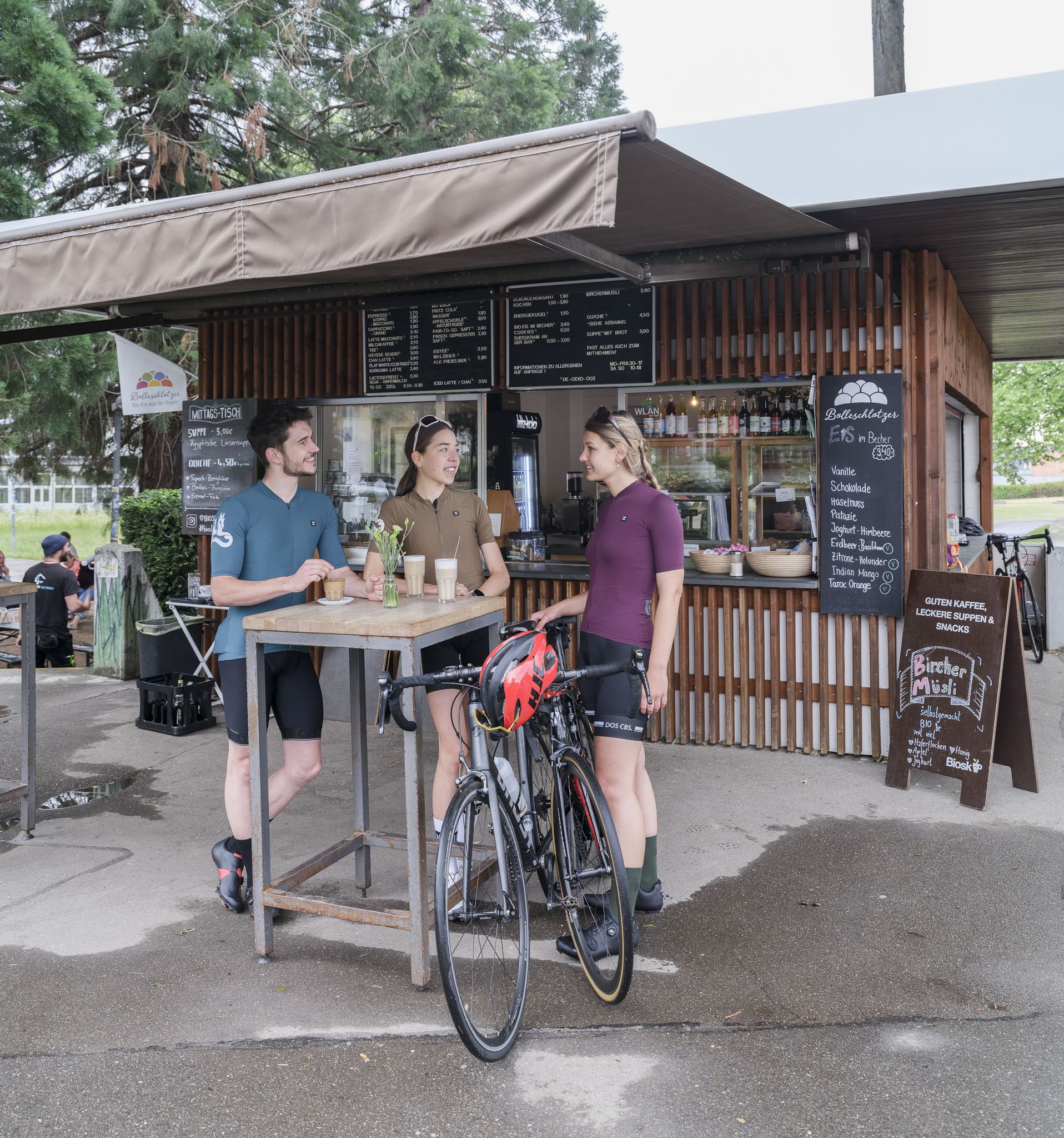
Espresso, ice cream and racing bikes – a dream mix in the Black Forest
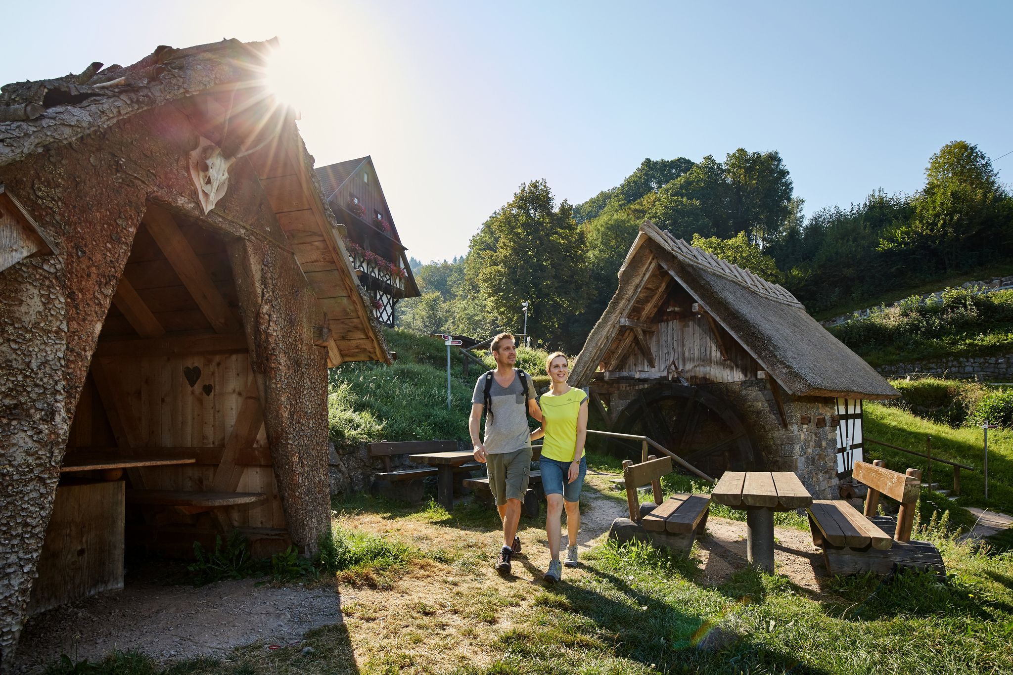
The best in the south: premium and quality hikes in Baden-Württemberg
Other adventures around Enzklösterle


Tips from the Community

In some pictures, a small wooden hut can be seen. Unfortunately, it burned down. Maybe a new one will be built; that would be nice.
2
0

NOT recommended on the ascent, as many drivers give full throttle here. There are forest road alternatives through the forest, e.g. from Schwarzenberg. Naturally cool on the descent.
0
0

The Besenfelder Steige is an extremely challenging descent. When you're hurtling down into the Murg Valley at 70-80 km/h, you need a high level of concentration and bike control. The surface damage, combined with the steep gradient and the curves, is incredibly demanding. Plus, you're exposed to the wind. I ride down it quite often, but I still have to mentally prepare myself for the stress beforehand. Uphill? Absolutely not. There are far too many trucks on the road, and overtaking is extremely difficult due to the poor visibility around the curves. Unfortunately, not everyone has the patience for it. With a regular bike, I would definitely recommend sticking to gravel. With a road bike, you can either go via Heselbach to Igelsberg (a short gravel section) or via Klosterreichenbach.
0
0

The elevation information has since disappeared from the sign. At 933 meters, it is the highest Black Forest pass north of the Murg River. The Murg side is significantly steeper and has a higher elevation gain than the Enz side. Coming from Reichental, the climb is also nicknamed the "Kaltenbronner Wand," reflecting its challenging nature.
0
1

Brilliant for racing cyclists, I had very few cars on the section
0
0

Great drive with sensational views of the Rhine plain all the way to the Vosges.
0
0
The surface is impeccable on the Tonbach side – which unfortunately ends abruptly at the Überzwerchberg Hut. From there, the trail to Zwickgabel leads over gravel: medium-coarse and somewhat loose. With a little caution, it's the ideal playground for a gravel bike; however, you should think twice about it with a road bike. The gravel section from Zwickgabel is definitely more recommendable uphill than downhill. After the hard work, you'll be rewarded with the descent to Tonbach on a perfect surface. You shouldn't just blast down the narrow, somewhat confusing forest road without guardrails – but 50+ km/h is perfectly acceptable as long as no one is coming the other way.
0
0
This route is also called the "Kaltenbronner Wand." It's quite demanding, but also beautiful 🤩
0
0
Frequently Asked Questions
What kind of mountain pass experiences can I expect around Enzklösterle?
While Enzklösterle doesn't feature conventionally named 'mountain passes' in the traditional sense, the region offers similar experiences through its extensive network of hiking and cycling trails. These routes traverse a hilly and forested landscape, involving significant elevation changes, panoramic vistas, and challenging ascents, characteristic of mountain pass journeys in the Northern Black Forest.
Are there challenging routes for cyclists near Enzklösterle?
Yes, the region is known for challenging climbs. For instance, the Besenfelder Steige is a tough climb requiring a lot of effort, but it offers a very fun and fast descent on a wide road. Another demanding option is the Ascent from Hilpertsau to Schwarzmiss Pass, which starts with a 10% gradient and is brilliant for racing cyclists.
What are some good starting points for tours in the area?
The Schwarzmiss Pass (933 m) is an ideal starting point for various tours. Located between the Murg and Enz valleys, it has a large car park and provides access to destinations like Teufelsmühle, Wildseemoor, or the Wilhelmturm.
Are there any mountain pass routes closed to motorized traffic?
Yes, the Zweifelt Pass route from Zwickgabel to Tonbach is closed to motorized traffic. This makes it an absolute recommendation for racing cyclists, especially on the Tonbacher side where the road has been redesigned. Be aware that the Zwickgabel side might have a gravel path, which is not suitable for racing bikes.
What kind of views can I expect from the elevated routes?
Many routes offer rewarding views. From the Schwarzmiss Pass Ascent from Reichental, you can enjoy great views down into the Murg Valley and towards the Vosges. Generally, the elevated trails and 'passes' around Enzklösterle provide panoramic vistas of the Northern Black Forest landscape.
What outdoor activities can I do near these mountain passes?
The region around Enzklösterle offers a wide range of outdoor activities. You can explore numerous hiking trails, such as the moderate Enzklösterle Blueberry Trail or more difficult routes like Jockele's Flößerweg. For cyclists, there are many options, including the Enztal Cycle Path and challenging road cycling routes that traverse the mountainous terrain.
What is the character of the terrain around Enzklösterle?
The terrain around Enzklösterle is characterized by its mountainous nature, situated in the valley of the Großen Enz. Elevations reach up to 924 meters at the Hirschkopf. You'll find extensive forested landscapes, moss-covered rock formations, and wild blueberry fields, with trails often involving significant elevation changes and varied surfaces.
Are there any unique natural areas to explore?
Yes, the Bannwald Bärlochkar is a nature protection forest that offers an idyllic circular hike. It features significant elevation changes and leads through a unique 'primeval forest' environment, providing a sense of remote wilderness characteristic of a mountainous journey.
What do visitors appreciate most about the mountain pass experiences in Enzklösterle?
Visitors frequently appreciate the sporting challenge offered by the climbs, the beautiful landscapes, and the great views into the valleys and across to the Vosges. The redesigned roads on some routes, closed to motorized traffic, are also highly valued by racing cyclists for their enjoyable descents.
Is public transport available to reach areas with elevated trails?
The Schwarzmiss Pass (933 m), a key starting point for many tours, is accessible by bus or car. For more detailed information on public transport options within Enzklösterle and to specific trailheads, it is advisable to check local transport schedules.
What is the highest point in the Enzklösterle municipal area?
The highest point in the municipal area of Enzklösterle is the Hirschkopf, reaching an elevation of 924 meters (3,031 ft). This offers a notable climb and likely provides expansive views, embodying the essence of a high-altitude vantage point.
Are there facilities or parking available at the elevated trailheads?
At key locations like the Schwarzmiss Pass (933 m), there is a large car park, making it an ideal starting point for various tours. Some areas may also have huts or facilities, such as those mentioned near Schwarzmiss Pass, where you can take a break.
Most popular routes around Enzklösterle
Most popular attractions around Enzklösterle

Get inspired with the komoot mobile app


Explore more
See even more epic mountain passes by checking out these guides around Enzklösterle:
