Top 20 Natural Monuments around Bornich
Best natural monuments around Bornich are situated in the Rhine Gorge, an area known for its natural scenery. The region features the iconic Loreley rock formation and various panoramic viewpoints. This landscape offers geological formations and views of the UNESCO World Heritage Upper Middle Rhine Valley.
Best natural monuments around Bornich
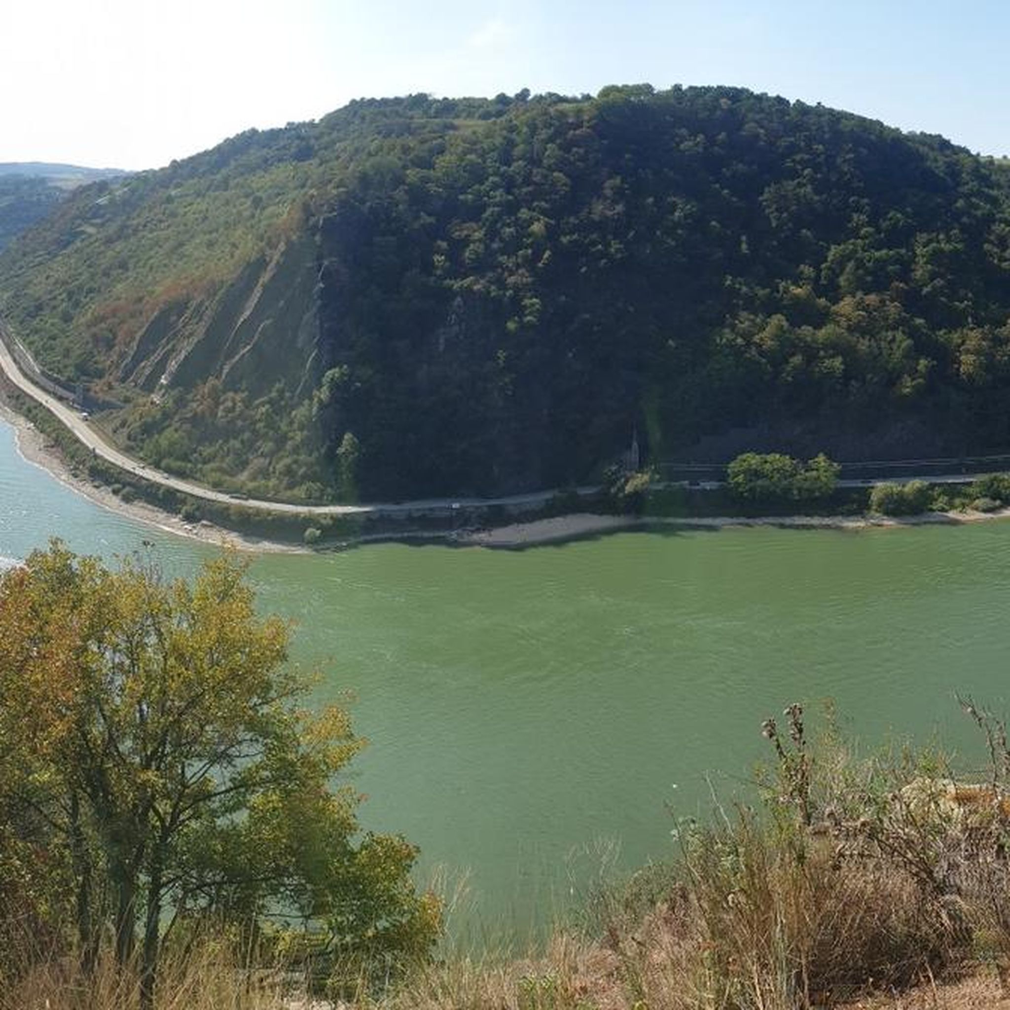
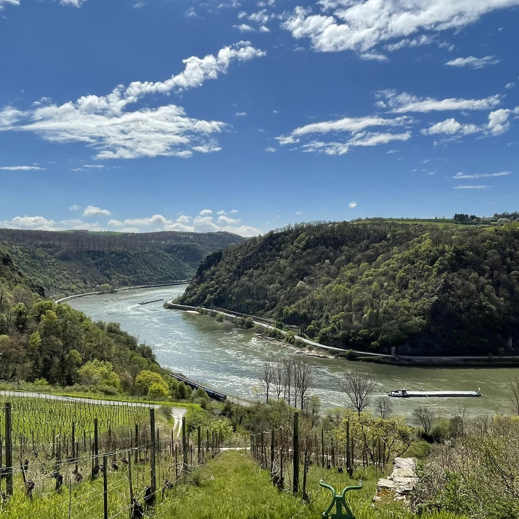
- The most popular natural monuments is View of the Loreley Rock, a viewpoint that is a prominent slate rock rising 132 meters above the water. It offers views of the Rhine Valley and is steeped in myth and cultural history.
- Another must-see spot is Spitzenstein Observation Tower, a viewpoint and man-made monument. This modern observation tower provides views and features an adjustable replica of a Napoleonic wink telegraph.
- Visitors also love Felsenkanzel Viewpoint Overlooking the Rhine and the Loreley, a viewpoint and natural monument. This striking rock formation offers views along the Rhine towards Oberwesel and the Loreley rock.
- Bornich is known for viewpoints, rock formations, and historical sites. The area offers a variety of natural monuments to see and explore, including significant geological features.
- The natural monuments around Bornich are appreciated by the komoot community, with more than 4000 upvotes and over 900 photos documenting the highlights.
Last updated: August 18, 2026
View of the Loreley Rock
Highlight • Viewpoint
Translated by Google •
Tip by

Loreley Statue on the Rhine
Highlight • Monument
The Middle Rhine river bed, which is still 300 meters wide above the Kammereck, is narrowed to 145 meters by the rock barriers just above the Loreley, at the Betteck. At the Loreley itself, the Rhine was 160 meters wide and up to 25 meters deep. These are the narrowest and deepest parts of the Rhine in its navigable section. On the other hand, the two river banks directly downstream, at the Loreley harbor, diverge like a trough for a short stretch of up to 400 meters. At Sankt Goar and Sankt Goarshausen the stream is usually 250 meters wide. The Rhine winds through the rock massif in tight curves. Because of these very tight curves and strong currents, navigation on the Rhine from the Bankeck in Sankt Goar to Oberwesel is regulated by light signals.
Translated by Google •
Tip by

Sign up now to discover places like this
Get recommendations on the best single tracks, peaks, & plenty of other exciting outdoor places.
Sign up for free
Nollig Castle Ruins
Highlight • Castle
Translated by Google •
Tip by

Spitzenstein Observation Tower
Highlight • Viewpoint
History / wing telegraph
Optical telegraphy for the transmission of messages according to the Chappe system. The French technician Claude Chappe developed at the time of the French. Revolution a technically feasible optical telegraph device based on the transmission of characters with the aid of pivoting signal arms. A swiveling crossbeam was attached to a high mast with two further swiveling bars at each end, so that different letters could be signaled with a code depending on the position. The telegraph stations were located between nine and twelve kilometers apart, depending on the nature of the terrain, so that the signs could be clearly seen with a telescope. Napoleon Bonaparte used this flexible and fast system to communicate with the various troops and probably also to organize the entire Rhine province. In 1794 a telegraph line was set up between Paris and Lille, which spanned 270 km with 22 stations. The transmission time of a letter or a coded message took about 2 minutes! Source: Text information board - Hubertus Jäckel dipl.-ing. architect bda bwd
Spitzer Stein viewpoint
Wing telegraph
Optical telegraph for the transmission of messages. System / Sign System Chappe - Each of the two signal arms could assume seven different positions, the crossbars two more each. The system thus enabled 196 different characters. Source: Text information board - Hubertus Jäckel dipl.-ing. architect bda bwd
Translated by Google •
Tip by

View of Lorch, the Rhine, and Lorcher Werth Island
Highlight • Viewpoint
Translated by Google •
Tip by

Sign up for free to discover even more natural monuments around Bornich.
Sign up for free
Already have an account?
Start today with a free account
Your next adventure awaits.
Login or Signup
Tips from the Community

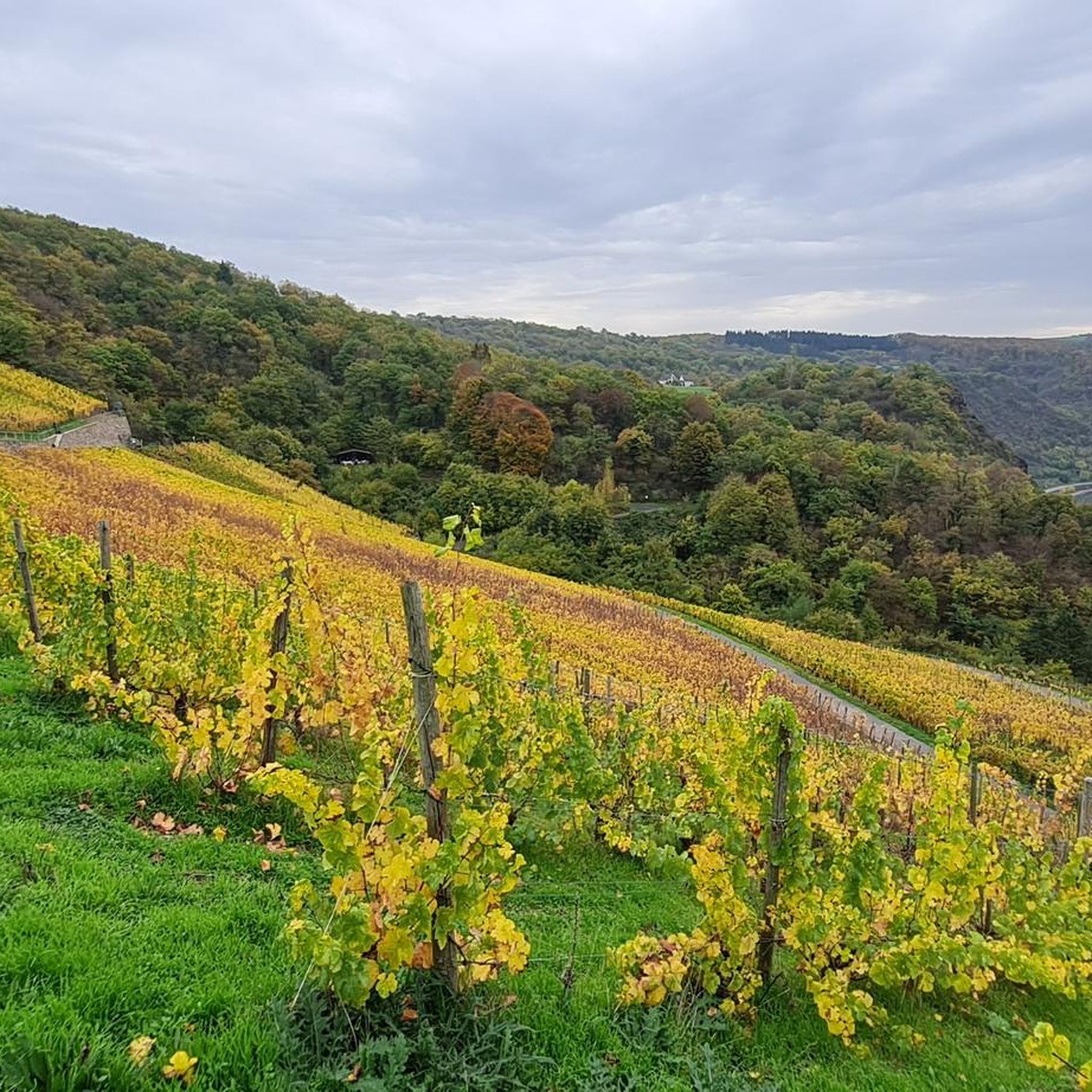
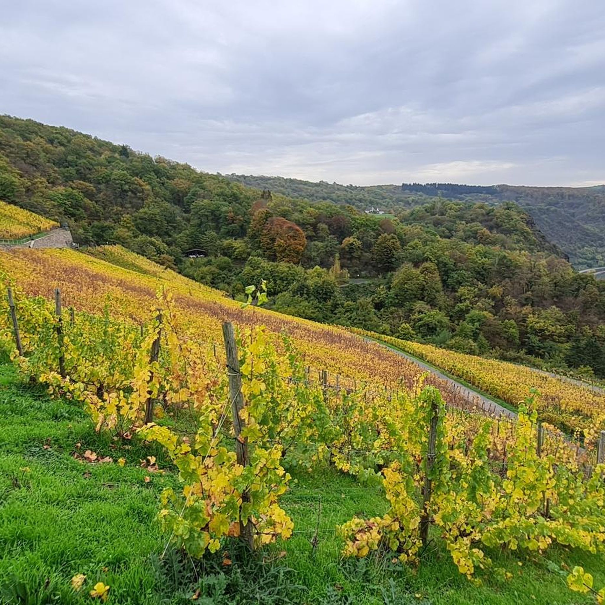
Well chosen spot for the wine view. Located directly below the ruins, there is a great view of the Rhine Valley. Ascent and descent via the Rheinsteig should only be undertaken in dry weather and/or by experienced hikers. Otherwise, please follow the diversion.
9
0

The wing telegraph has been broken for some time and can no longer be adjusted.
6
1

Willi and Ernst also visited the tower: https://youtu.be/rucqpJBsFV8?si=FuZ2WGdvcd_k7GS3.
2
1

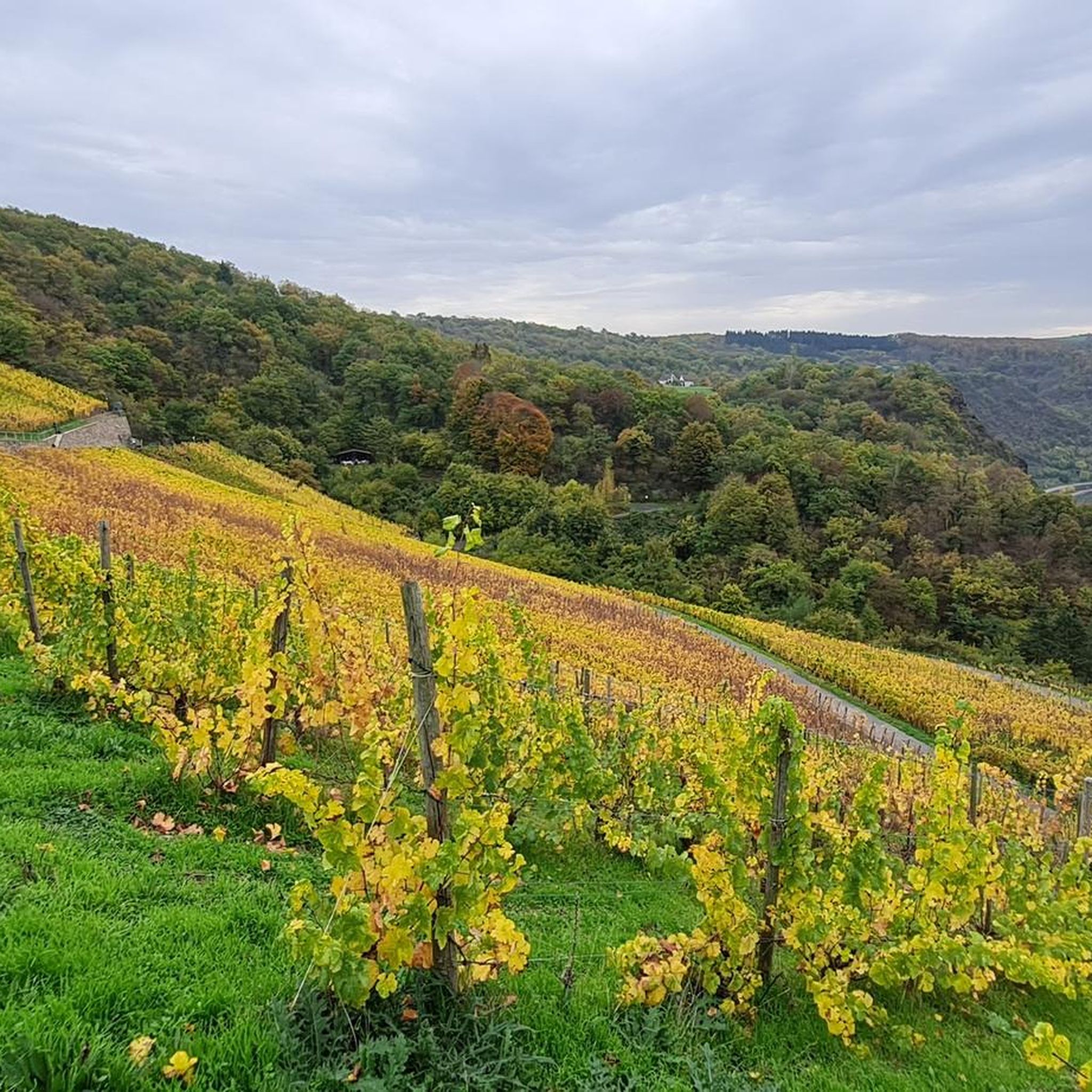
Beautiful view of the Rhine Valley, the surrounding vineyards and Lorch am Rhein with the island of Lorcher Werth. Picnic table and viewing bench invite you to take a rest. Really really great!! :-)
8
1

Beautiful view of the Rhine Valley, the surrounding vineyards and Lorch am Rhein with the island of Lorcher Werth. Picnic table and viewing bench invite you to take a rest.
7
1

The descent from here Lorch is not easy.
7
0

From here you have a great view
6
0

Beautiful view of the Rhine
8
0
Frequently Asked Questions
What makes the natural monuments around Bornich unique?
The natural monuments around Bornich are primarily characterized by the dramatic Rhine Gorge landscape, including the iconic Loreley rock formation and numerous panoramic viewpoints. This area is part of the UNESCO World Heritage Upper Middle Rhine Valley, offering stunning geological formations and a rich blend of natural beauty and cultural history.
Which natural monuments offer the best panoramic views of the Rhine Valley?
For breathtaking views, consider visiting the View of the Loreley Rock, which rises 132 meters above the water. Other notable viewpoints include Felsenkanzel Viewpoint Overlooking the Rhine and the Loreley, and the Spitzenstein Observation Tower, which also features a replica of a Napoleonic wink telegraph.
Are there any historical natural monuments in the Bornich area?
Yes, the Loreley Rock itself is steeped in myth and cultural history, explored within the Cultural and Landscape Park Loreley. Additionally, the Nollig Castle Ruins, though privately owned and not accessible inside, stands as a historical landmark high above the city, offering a glimpse into the region's past fortifications.
What is the 'Adolfseiche Aaschebamche' in Bornich?
The 'Adolfseiche Aaschebamche' is a significant ancient oak tree located within Bornich. Planted on August 22, 1864, it stands as a notable natural feature and a local landmark within the municipality.
Are there family-friendly natural monuments to visit around Bornich?
Many of the natural monuments around Bornich are suitable for families. The View of the Loreley Rock and the Loreley Statue on the Rhine are popular choices, offering accessible viewpoints and engaging historical context. The Cultural and Landscape Park Loreley is designed to be accessible and features a Myth Trail for exploration.
What outdoor activities can I do near these natural monuments?
The area around Bornich offers a variety of outdoor activities. You can find numerous running trails, including routes like 'Ochsenturm Oberwesel – View of the Loreley loop' and 'Loreley Statue on the Rhine – View of Katz Castle loop'. For cyclists, there are road cycling routes such as 'View of the Marksburg – Rudi Geil Bridge loop' and gravel biking options like 'Large Donkey Farm Bornich – Our Thick Oak (Endlichhofen) loop'. You can explore more options in the dedicated guides for Running Trails around Bornich, Road Cycling Routes around Bornich, and Gravel biking around Bornich.
What do visitors enjoy most about the natural monuments in Bornich?
Visitors frequently praise the stunning views of the Rhine Valley and the Loreley rock, especially from spots like the Felsenkanzel Viewpoint. The rich history and myths associated with the Loreley are also a major draw, offering a unique blend of natural beauty and cultural storytelling. The komoot community has documented these highlights with over 900 photos and more than 4000 upvotes, reflecting widespread appreciation.
Are there specific hiking trails that lead to these natural monuments?
Yes, the Rheinsteig trail is a prominent route that passes by several significant viewpoints and natural monuments in the area, including the Felsenkanzel Viewpoint and the Nollig Castle Ruins. These trails offer excellent opportunities to experience the unique natural beauty of the region on foot.
What is the best time of year to visit the natural monuments around Bornich?
The natural monuments around Bornich, particularly those along the Rhine Gorge, are beautiful throughout much of the year. Spring and autumn offer pleasant temperatures for hiking and vibrant foliage, while summer provides longer daylight hours for exploration. Even in winter, the landscape can be striking, though some trails might be more challenging.
Is the Loreley Cultural and Landscape Park accessible?
Yes, the Cultural and Landscape Park Loreley is designed to be accessible, featuring multiple viewpoints and a Myth Trail that allows visitors to discover the cultural history and experience the natural monument firsthand. It aims to provide an inclusive experience for all visitors.
Can I find places to eat or stay near the natural monuments in Bornich?
Bornich and the surrounding towns along the Rhine Gorge offer various options for cafes, pubs, and accommodation. While specific establishments are not detailed here, the region is well-equipped to cater to visitors exploring its natural and historical attractions.
Most popular routes around Bornich
Most popular attractions around Bornich

Get inspired with the komoot mobile app


Explore more
Extend your search for the best caves by checking out these guides of the top ones around Bornich:
