Top 5 Bike Parks around Wittelshofen
Best bike parks around Wittelshofen are found in the Middle Franconia region, characterized by its varied terrain and extensive forest areas. The area provides diverse mountain biking trails and routes, catering to different skill levels. These trails often feature natural landscapes, including descents and wooded sections, offering varied cycling experiences. The region's geography, with its slopes and forests, makes it suitable for mountain biking enthusiasts.
Best bike parks around Wittelshofen
- The most popular bike parks is Flow Trail in Middle…
Last updated: July 8, 2026
Downhill Trail Towards Gerolfingen
Highlight (Segment) • MTB Park
Translated by Google •
Tip by

Hesselberg Trail Towards Wassertrüdingen
Highlight (Segment) • Trail
Translated by Google •
Tip by
Sign up now to discover places like this
Get recommendations on the best single tracks, peaks, & plenty of other exciting outdoor places.
Sign up for free
Flow Trail in Middle Franconia
Highlight (Segment) • MTB Park
Translated by Google •
Tip by

Steep and Muddy Forest Trail
Highlight (Segment) • Trail
Or what do you own a MTB and not a road bike? :-D
Translated by Google •
Tip by

MTB Trail Through Öttinger Forst
Highlight (Segment) • MTB Park
A highlight …
Translated by Google •
Tip by
Start today with a free account
Your next adventure awaits.
Login or Signup
Popular around Wittelshofen


Tips from the Community

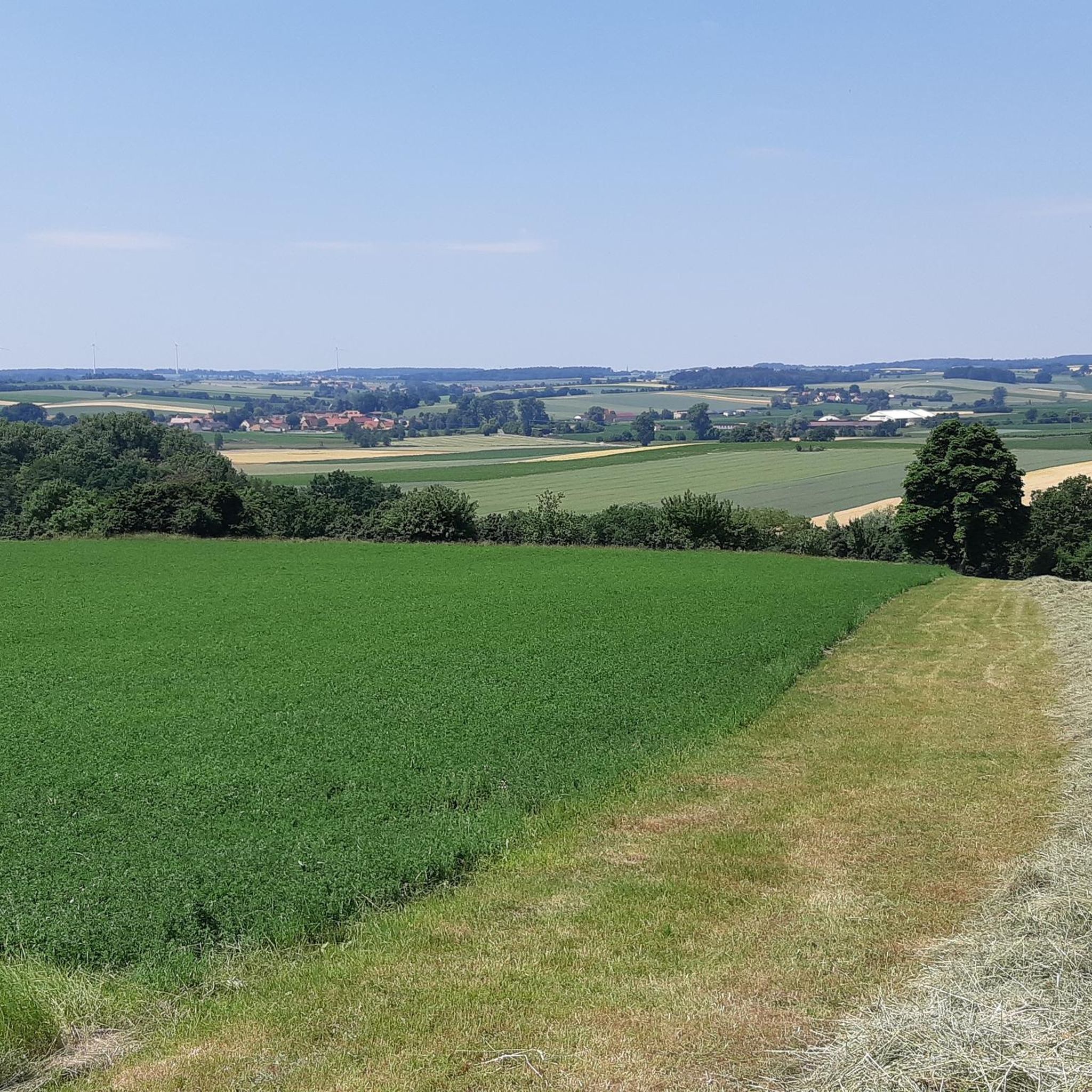
Great trail and not particularly difficult with the driveway in the east.
0
0

Nice descent, not too steep, nice and wide with a raised edge, you can really let it go.
2
0

Gerolfingen (Franconian: Gerlfing) is a municipality in the Middle Franconian district of Ansbach and a member of the administrative community Hesselberg based in Ehingen. The first documentary mention of Irsingen ("villa Ursingen") dates from 1053, the Aufkirchens ("burgum ufkirchin") from 1188 and the Gerolfingen ("Gerlifingen") from 1228. The place name is based on the personal name Gerolf, which was derived from the -ingen membership suffix. The place name means among the people of Gerolf. The Irsinger date falls in the salier time, the other two dates in the Staufer time. Aufkirchen, Gerolfingen and Irsingen were at that time part of the Eastern Franconia (Regnum francorum orientalium), which arose from the division of the Franconian Empire (Treaty of Verdun (843)) and from the 14th century as the Holy Roman Empire (German Nation) [Sacrum Romanum Imperium (nationis Germanicae)]. The Irsinger documentary date falls in the reign of Henry III, while the Aufkirchner documentary date (1188) falls in Frederick I (Barbarossa), who was emperor of the empire from 1152 until his death in 1190. The Gerolfinger documentary date (1228) falls in the reign of Barbarossa's grandson, Friedrich II. More information: https://de.wikipedia.org/wiki/Gerolfingen
0
0

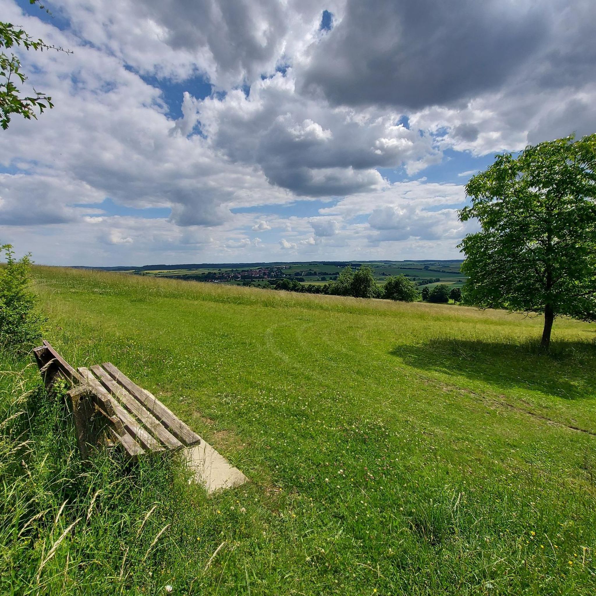
Very nice flowtrail. S1 because of the upper steep section and loose ground also lower S2 level
0
0

Nice fast trail. The driving fun is not too short here. A must ride for every MTB'ler
2
0

Dark, wood lumber, steep & slippery, mushy - mourning! Or what do you own a MTB and not a road bike? :-D
1
0
A great trail of fun
2
0
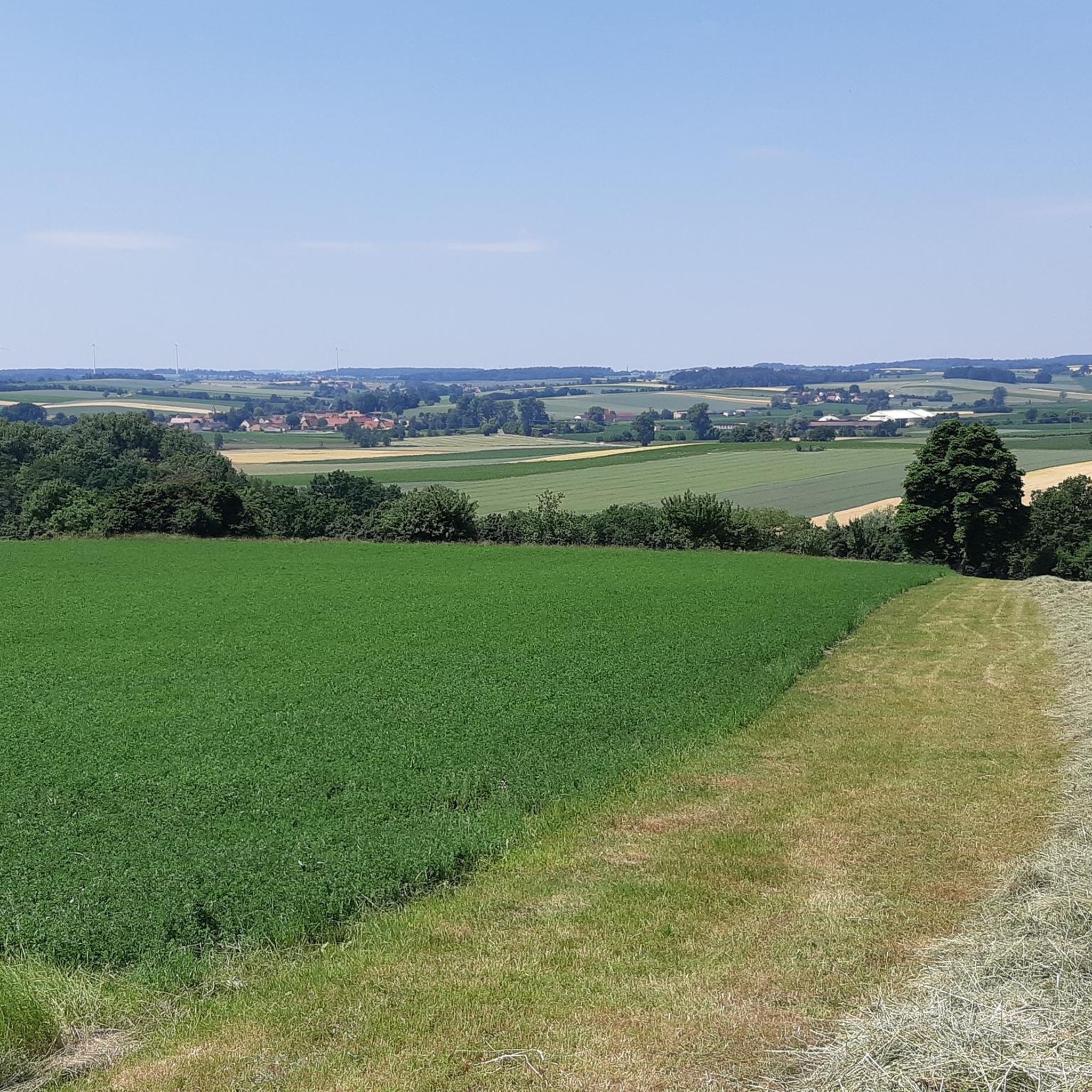
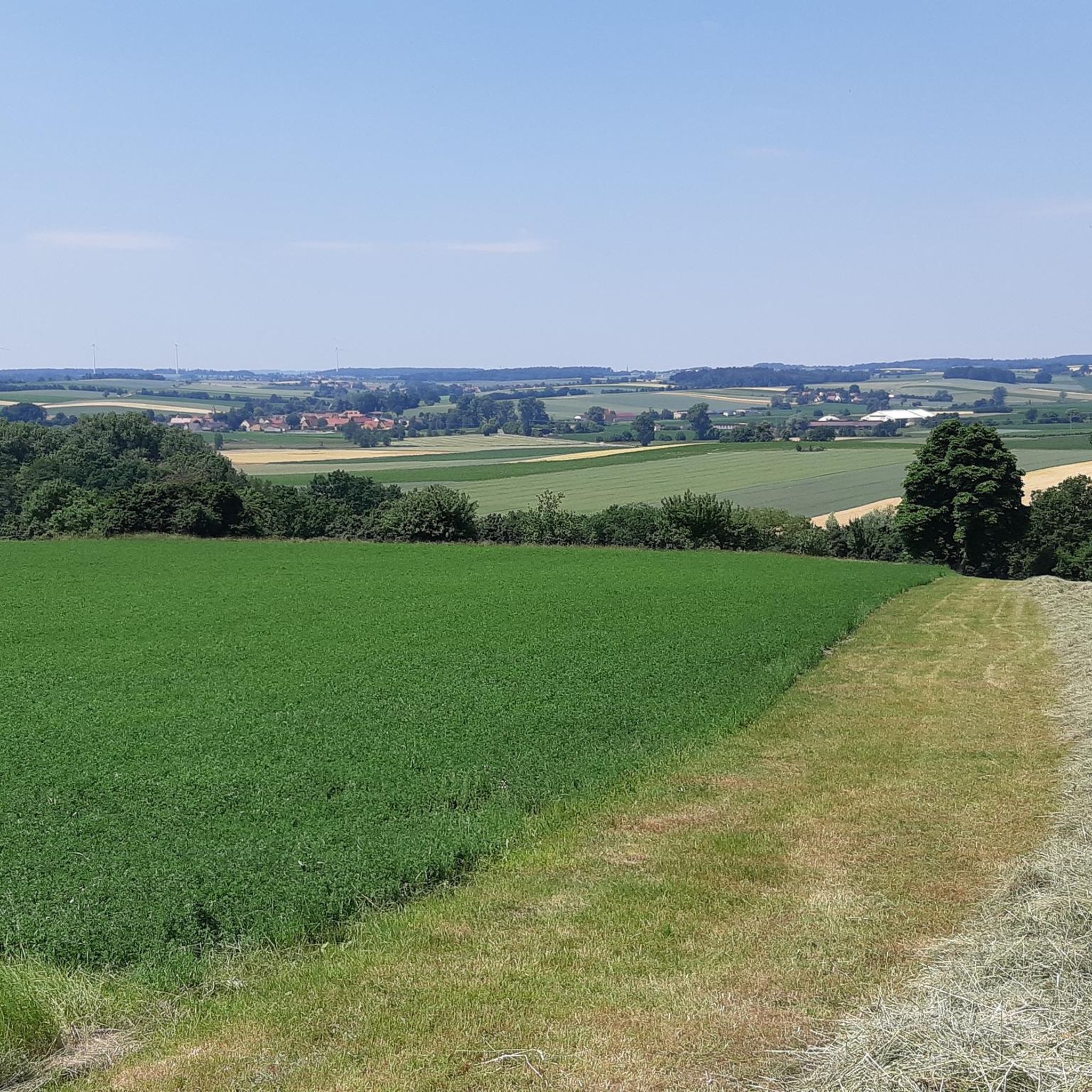
The Öttinger forest is a huge forest area that runs from Willbugstetten to Wassertrüdingen. Here I have already 80 km accumulated without any tar road traffic. Gravel and dirt roads but also natural trails can be found here. The terrain is very hilly so that you can also make some altitude Attention really a big forest there you can really get lost. Best Download area via Komoot before.
0
0
Frequently Asked Questions
What kind of mountain biking trails can I find directly around Wittelshofen?
While Wittelshofen doesn't have dedicated bike parks, the surrounding region offers various mountain biking trails. You can find options like the Downhill Trail Towards Gerolfingen, which is a flow trail with S1/S2 sections, or the Flow Trail in Middle Franconia, known for its wide, enjoyable descent. The MTB Trail Through Öttinger Forst also provides a vast forest area with many small slopes and natural trails.
Are there challenging mountain bike trails near Wittelshofen?
Yes, for those seeking a challenge, the Steep and Muddy Forest Trail is described as dark, steep, slippery, and mushy, making it a demanding experience for mountain bikers. The Öttinger Forst also features hilly terrain with natural trails that can be quite challenging.
What natural features can I expect to see while biking around Wittelshofen?
The trails around Wittelshofen often lead through extensive forest areas, such as the Öttinger Forst, offering a natural and immersive experience. Many routes also provide views of landmarks like the Hesselberg and Spielberg Castle, combining natural beauty with historical sights.
What do visitors enjoy most about the trails near Wittelshofen?
Visitors appreciate the variety of trails, from flowy descents like the Flow Trail in Middle Franconia where you can 'really let it go,' to the extensive and diverse terrain of the Öttinger Forst. The combination of natural trails, gravel roads, and the opportunity to accumulate significant mileage without tar road traffic is highly valued.
Are there any historical or cultural points of interest along the bike trails?
Yes, the region has historical significance. For instance, the area around the Downhill Trail Towards Gerolfingen has a rich history, with documentary mentions dating back to the 11th and 13th centuries. Additionally, some trails offer views of Spielberg Castle, adding a historical backdrop to your ride.
What other outdoor activities can I do near the bike trails around Wittelshofen?
Beyond mountain biking, the Wittelshofen area is excellent for other outdoor pursuits. You can explore various cycling routes, including the Hesselberg Rundweg, or discover running trails, such as those leading to the Hesselberg Summit. There are also options for gravel biking around Dinkelsbühl.
Are there any places to eat or drink near the mountain bike trails?
Yes, for those exploring the Öttinger Forst, a notable stop is the brewery inn Höhenberger in Fürnheim. It offers a great beer garden and delicious food, perfect for a break after your ride.
What are the best seasons for mountain biking around Wittelshofen?
The region's trails, especially those in forested areas, can be enjoyed across multiple seasons. However, trails like the Steep and Muddy Forest Trail can become particularly challenging and 'mushy' in wet conditions, suggesting drier seasons might be preferable for some routes. Spring and autumn generally offer pleasant temperatures and vibrant scenery.
Are there dedicated bike parks further afield in Germany if I'm willing to travel?
Yes, if you're looking for dedicated bike park experiences and are willing to travel beyond the immediate Wittelshofen area, Germany offers several well-regarded options. These include the Rabenberg Trail Center, Hahnenklee Bike Park, Braunlage Bike Park on the Wurmberg, and MTB-ZONE Bikepark Geißkopf in the Bavarian Forest, among others, each offering diverse trails for various skill levels.
How can I avoid getting lost in large forest areas like the Öttinger Forst?
The Öttinger Forst is a huge forest area where it's easy to get lost. It is highly recommended to download the area via Komoot before your ride to ensure you have offline access to maps and navigation.
What kind of terrain can I expect on the MTB trails in the Öttinger Forst?
The Öttinger Forst features a mix of terrain. You'll find main trails that are gravel or dirt roads, alongside many smaller, natural trails. The area is also very hilly, allowing for significant altitude changes during your ride.
Most popular routes around Wittelshofen
Most popular attractions around Wittelshofen

Get inspired with the komoot mobile app


Explore more
Still looking for your perfect bike park? Check out our guides in these places:
