Top 5 Mountain Passes around Hünfeld
Best mountain passes around Hünfeld are found within the Rhön Biosphere Reserve, a region characterized by low mountain ranges. This area provides scenic routes and recreational opportunities, offering experiences similar to traditional mountain passes. The landscape features notable peaks and routes that provide expansive views.
Best mountain passes around Hünfeld
- The most popular mountain passes is Danzwiesen Pass Summit, a mountain pass that reaches its highest point at 645 m above sea level. This location offers great views, making…
Last updated: June 24, 2026
Reinhards Schlagbaum Pass (503 m)
Highlight • Mountain Pass
Translated by Google •
Tip by

Bildtanne Pass summit (496 m)
Highlight • Mountain Pass
Translated by Google •
Tip by

Sign up now to discover places like this
Get recommendations on the best single tracks, peaks, & plenty of other exciting outdoor places.
Sign up for free
Danzwiesen Pass Summit
Highlight • Mountain Pass
Translated by Google •
Tip by
Bildtanne Pass – Border Between Hesse and Thuringia
Highlight • Mountain Pass
Translated by Google •
Tip by

View to the north from Obergruben Saddle
Highlight • Viewpoint
Translated by Google •
Tip by
Start today with a free account
Your next adventure awaits.
Login or Signup
Popular around Hünfeld

Discover Rhön - Half-day tours through the biosphere reserve
Extra tours North - excellent premium hiking trails of Rhön

Hiking in the Rhön Mountains where nature and history combine
Mit Rosbacher auf Tour in Mittelhessen
Cycling around Hünfeld
Hiking around Hünfeld
Road Cycling Routes around Hünfeld
MTB Trails around Hünfeld
Running Trails around Hünfeld
Gravel biking around Hünfeld
Other adventures around Hünfeld


Tips from the Community


The small pass represents the transition over the ridge between the Nüsttal near Gotthards and the valley of the Siebertsgraben near Reinhards. The turnpike alludes to the border situation that has existed here since 1815. After the end of the Napoleonic era, the Congress of Vienna reorganized numerous territories. The former Bishopric of Fulda and its short-lived successor states were divided between the neighbors. The former Fulda office of Geisa with Reinhard fell to the Grand Duchy of Saxony-Weimar-Eisenach. The former Fulda office of Bieberstein became part of the (titular) Electorate of Hesse-Kassel, which was annexed by Prussia almost 50 years later. Even today, the federal state border between Thuringia and Hesse runs here.
1
0

The border between Hesse and Thuringia runs at this pass height. At the same time, the Hochrhön hiking trail runs along here.
0
0
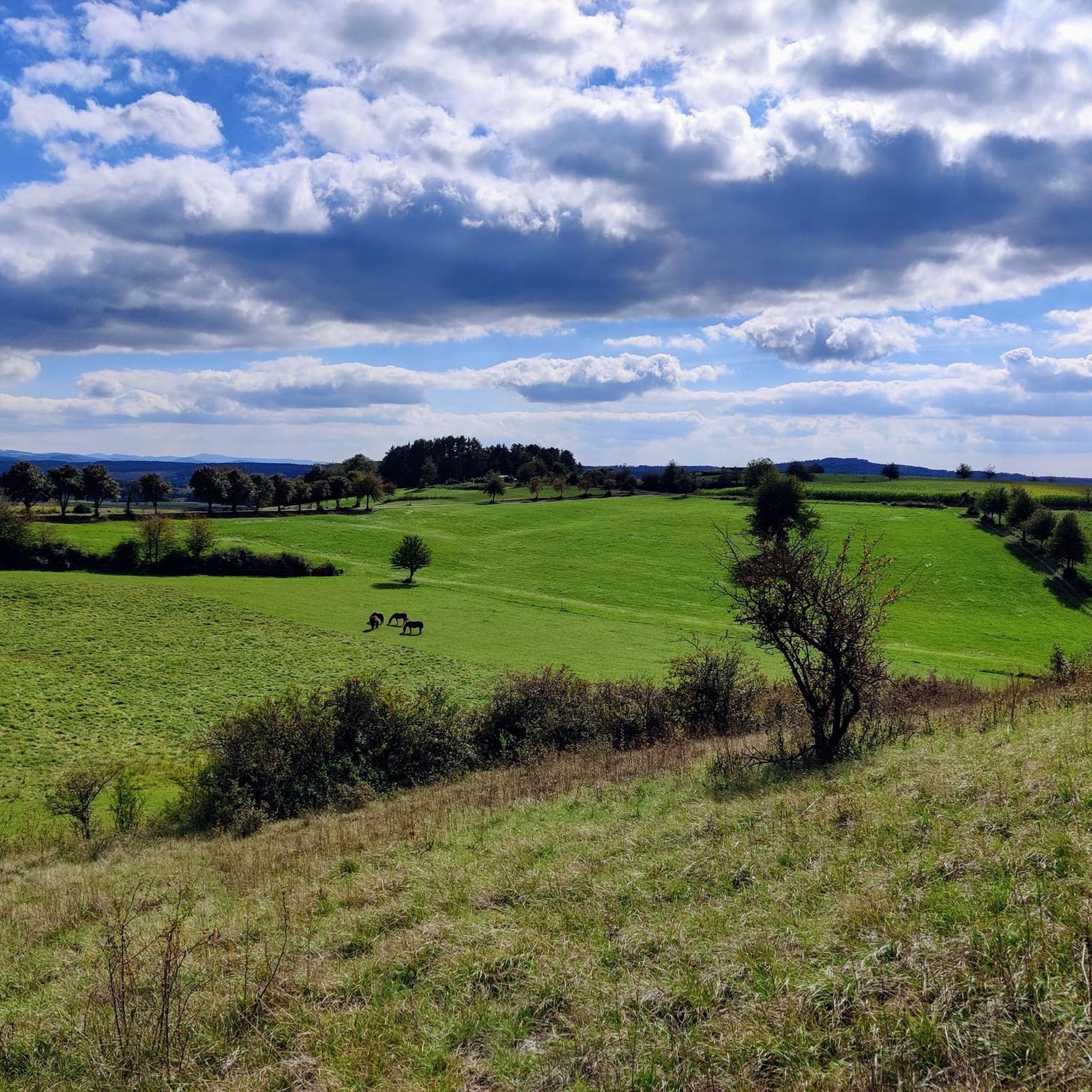
From the hill above Obergruben there is some view to the north and there is also a bench. The saddle between the large and the small Grubenhauck also runs here.
0
0

Proper ascent and rapid descent on perfect road surface 👍 At the top of the pass at 496 m above sea level. NN is the border between Hesse and Thuringia
0
0

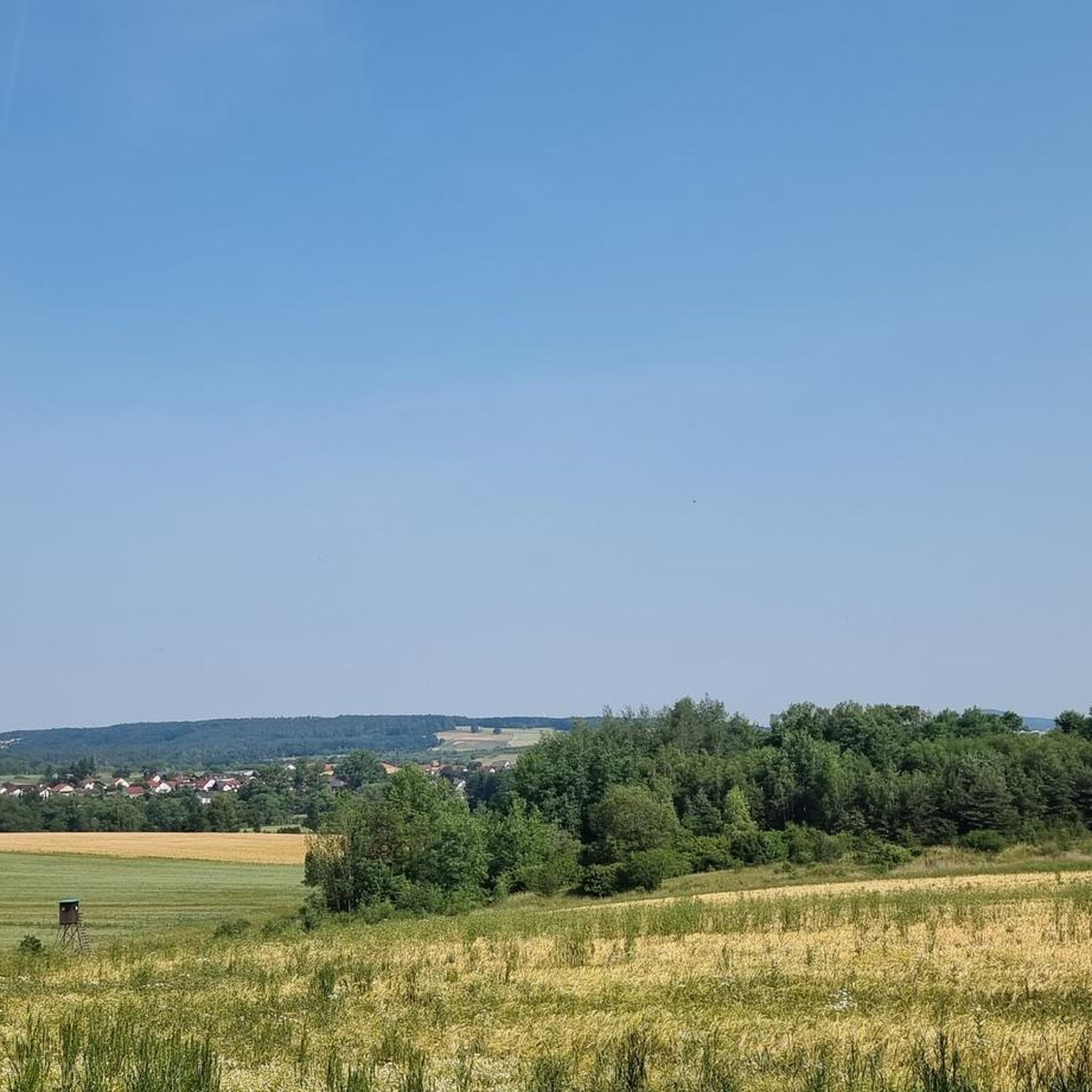
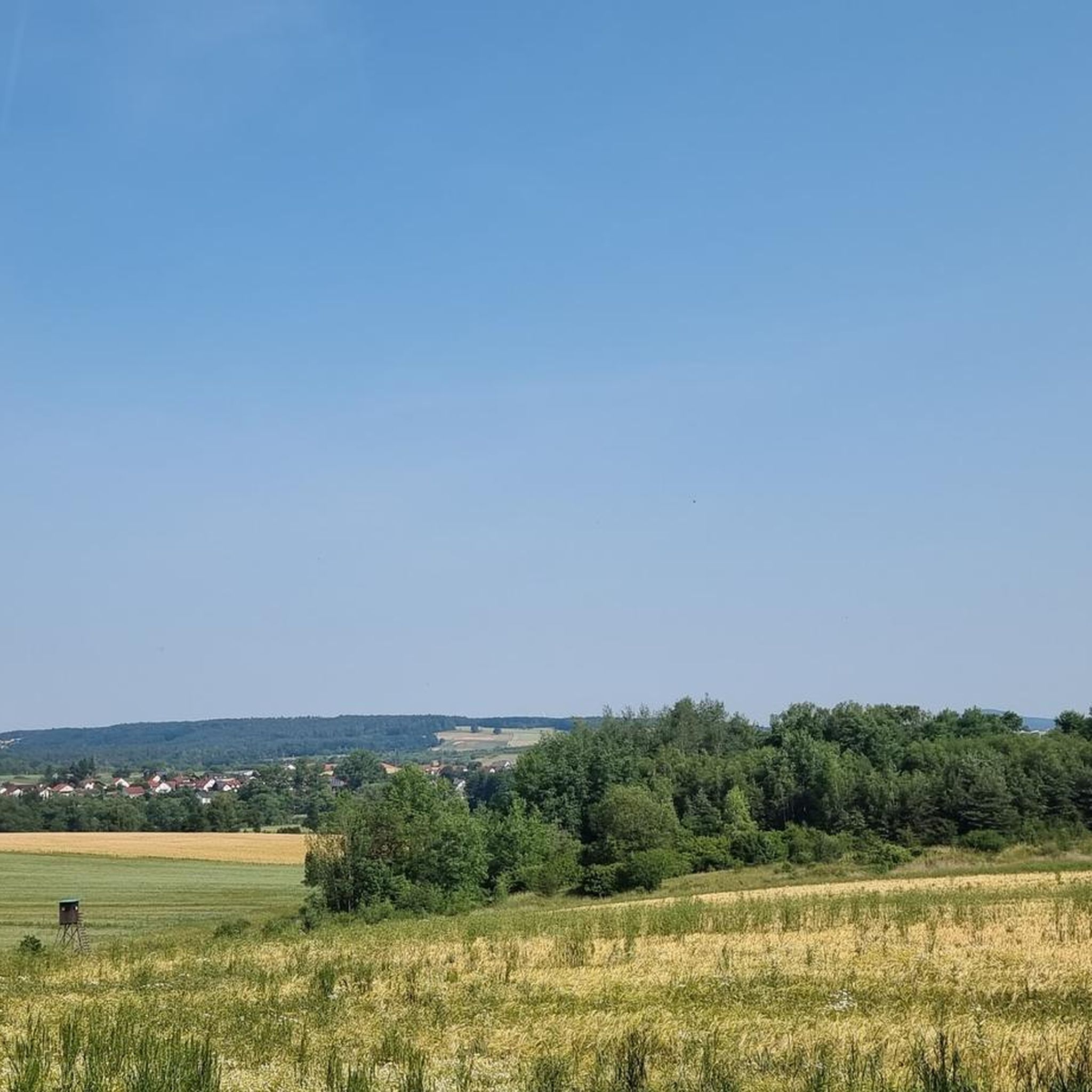
The road over the Milseburg reaches its highest point at Danzwiesen at 645 m above sea level. From here there are great views that make a short stop mandatory.
3
0
The top of the picture fir tree with a pass height of 496 m above sea level. NN marks the border between Hesse and Thuringia. The Auffharten of Gotthards on the Hessian side and Ketten on the Thuringian side is each almost 2 km long and has up to 10% in the steepest passages.
1
0
Frequently Asked Questions
What makes the mountain passes around Hünfeld unique?
The mountain passes around Hünfeld are situated within the Rhön Biosphere Reserve, characterized by scenic low mountain ranges rather than traditional high-alpine passes. This region offers unique experiences with expansive views and recreational opportunities. You'll find a mix of summit passes, border passes, and viewpoint passes, often combining natural beauty with historical significance.
Which mountain passes offer the best panoramic views?
For stunning panoramic views, consider visiting the Danzwiesen Pass Summit, which reaches 645 meters above sea level and provides great vistas. Another excellent spot is the View to the north from Obergruben Saddle, offering views to the north and a convenient bench for resting. Beyond the listed passes, the Soisbergturm and Milseburg summit in the Rhön region are also known for their extensive vistas.
Are there any historical mountain passes or sites nearby?
Yes, the region has mountain passes with historical significance. The Reinhards Schlagbaum Pass (503 m) marks the transition over a ridge and features a turnpike alluding to the historical border situation between territories since 1815. Similarly, the Bildtanne Pass summit (496 m) and Bildtanne Pass – Border Between Hesse and Thuringia both signify the historical border between Hesse and Thuringia.
What outdoor activities can I do near the mountain passes around Hünfeld?
The area around Hünfeld and its mountain passes is excellent for various outdoor activities. You can explore numerous routes for gravel biking, road cycling, and running. For example, there are many gravel biking routes, road cycling routes, and running trails that allow you to discover the diverse landscapes of the Rhön Biosphere Reserve.
Are there family-friendly mountain passes or routes suitable for children?
The Bildtanne Pass summit (496 m) is categorized as family-friendly, offering a pleasant experience. Additionally, the Milseburg Cycle Path, which includes a unique tunnel, provides a distinctive and enjoyable 'pass-like' experience for cyclists of all ages, allowing them to traverse through a mountain without vehicle traffic.
What is the Milseburg Cycle Path and Tunnel?
The Milseburg Cycle Path is a unique feature in the Rhön region, utilizing a former railway tunnel converted into a cycle path in 2003. This path offers a distinctive 'pass-like' experience for cyclists, allowing passage through a mountain without vehicle traffic. The tunnel is praised for being a pleasant route, providing cool respite in summer, and features environmentally friendly lighting. It is home to bats and is typically closed from November to mid-April, with a 4-kilometer bypass available during this period.
What is the best time of year to visit the mountain passes around Hünfeld?
The best time to visit generally depends on your preferred activity. For cycling the Milseburg Tunnel, note that it is typically closed from November to mid-April. Spring, summer, and early autumn offer pleasant weather for hiking, cycling, and enjoying the expansive views. Always check local weather forecasts before your visit.
Are there challenging routes for experienced hikers or cyclists?
While the region is known for low mountain ranges, some routes offer challenging sections. For instance, the ascent to the Bildtanne Pass summit (496 m) from Gotthards or Ketten is almost 2 km long with gradients up to 10% in its steepest passages. Many of the nearby gravel and road cycling routes also feature moderate to difficult sections, as detailed in the Gravel biking around Hünfeld and Road Cycling Routes around Hünfeld guides.
Can I spot wildlife near the mountain passes?
The Rhön Biosphere Reserve is known for its natural environment. While specific wildlife sightings are not guaranteed, the Milseburg Tunnel is home to bats, and the general area offers opportunities to observe local flora and fauna typical of a low mountain range biosphere. Keep an eye out, especially during quieter times of day.
What do visitors enjoy most about the mountain passes around Hünfeld?
Visitors particularly appreciate the great views offered by many of the passes, making a short stop mandatory. The unique experience of traversing historical border points and the well-maintained routes for cycling and hiking are also highly valued. The natural beauty and peaceful atmosphere of the Rhön Biosphere Reserve are consistently highlighted.
Are there any specific hiking trails that cross these mountain passes?
Yes, for example, the Hochrhön hiking trail runs along the Bildtanne Pass – Border Between Hesse and Thuringia. The broader Rhön region offers numerous other hiking routes that allow visitors to explore the diverse landscapes, often incorporating these scenic passes and viewpoints.
Most popular routes around Hünfeld
Most popular attractions around Hünfeld

Get inspired with the komoot mobile app


Explore more
See even more epic mountain passes by checking out these guides around Hünfeld:
