Top 20 Natural Monuments around Krummendiek
Best natural monuments around Krummendiek are found within a region characterized by its natural beauty and outdoor opportunities, situated in the district of Steinburg, Germany. The area's appeal stems from its strategic location, offering access to significant natural landscapes such as the Elbe-Lübeck Canal and the North Sea dyke system. While specific, named natural monuments within the village are not prominent, the broader environment provides diverse natural features. This guide highlights key natural attractions and points of interest in the vicinity.
Best natural monuments around Krummendiek
- The most popular natural monuments is Deckmann's Ponds, a lake that offers sandy beaches and pleasant bathing water in summer. Small footpaths lead directly along the water, making it a popular spot for hiking.
- Another must-see spot is Lowest Point in Germany, a natural monument and viewpoint marking the country's lowest land elevation. This location is 3.54 meters below sea level, offering an impressive perspective on the elemental forces associated with the Elbe River.
- Visitors also love Nordoe Inland Dunes Nature Reserve, a natural monument featuring dunes and forests. This area is known for its scenic beauty and offers opportunities for hiking and exploring.
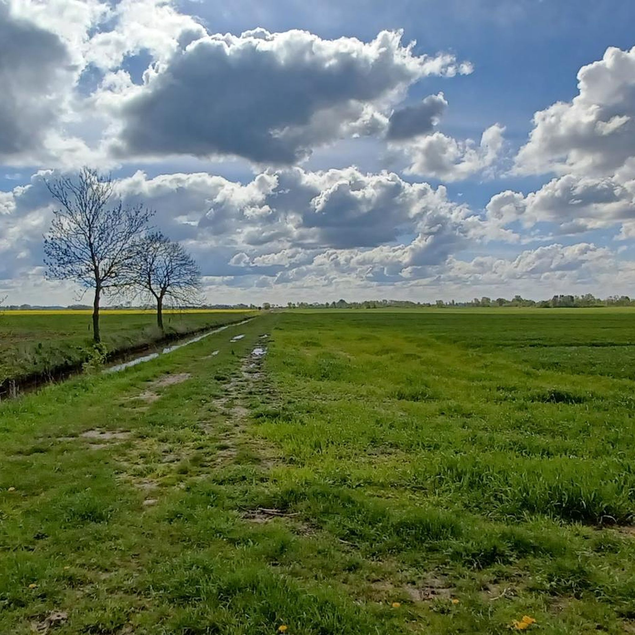
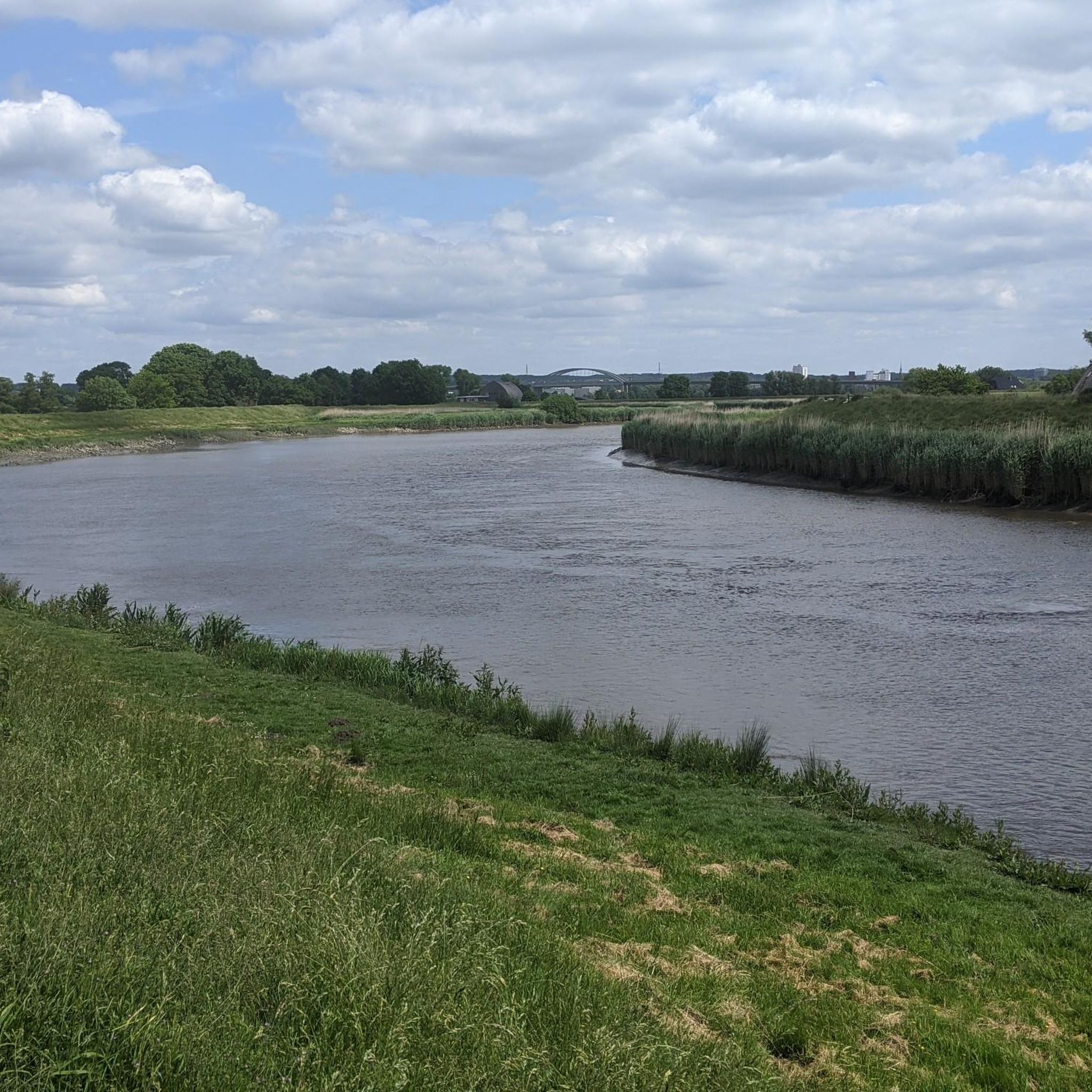
- Krummendiek is known for its diverse natural features, including inland dunes, significant geological points, and various lakes. The region offers a variety of natural monuments to see and explore, from unique landscapes to tranquil water bodies.
- The natural monuments around Krummendiek are appreciated by the komoot community, with more than 320 upvotes and over 240 photos shared by visitors.
Last updated: June 24, 2026
Nordoe Inland Dunes Nature Reserve
Highlight • Natural Monument
Translated by Google •
Tip by

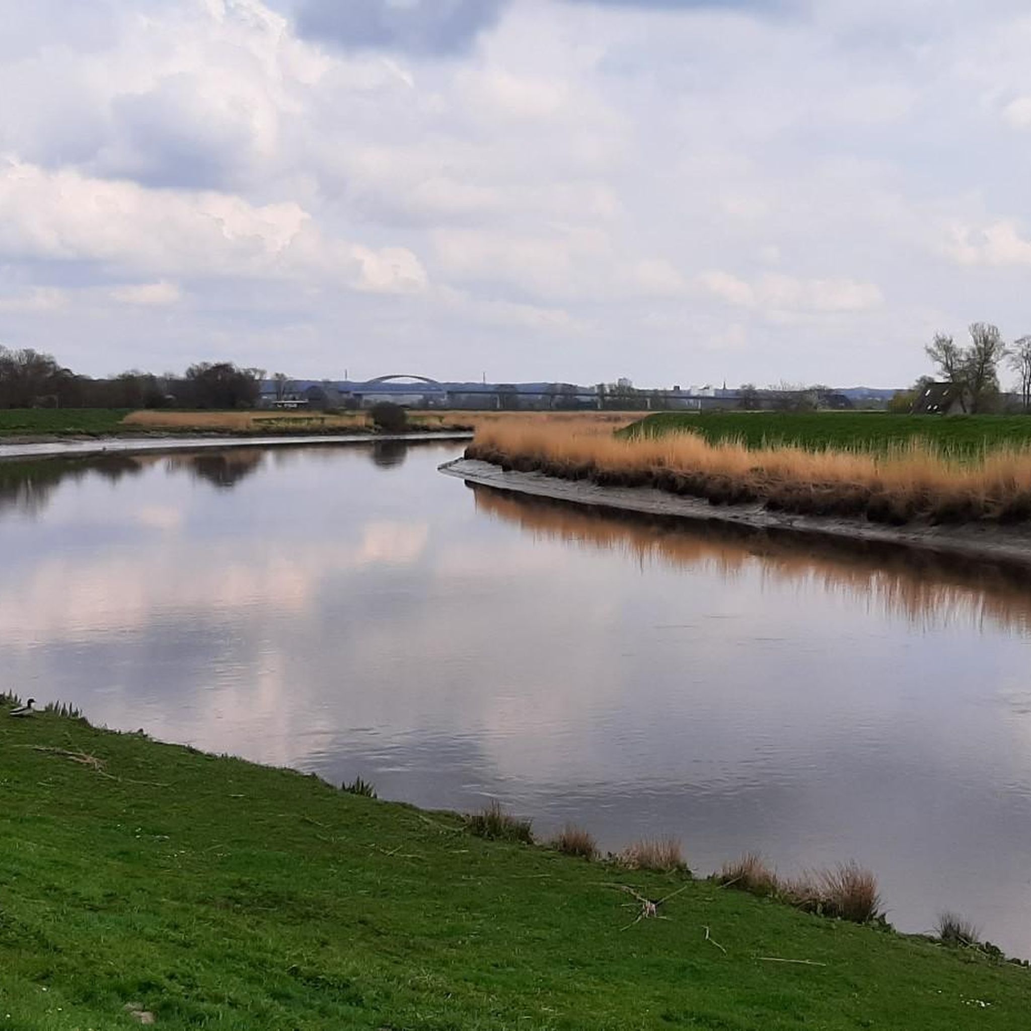
Lowest Point in Germany
Highlight • Natural Monument
Translated by Google •
Tip by

Sign up now to discover places like this
Get recommendations on the best single tracks, peaks, & plenty of other exciting outdoor places.
Sign up for free
Deckmann's Ponds
Highlight • Lake
Sandy beach and pleasant bathing water.
Translated by Google •
Tip by

Stormsteich Pond
Highlight • Lake
Translated by Google •
Tip by

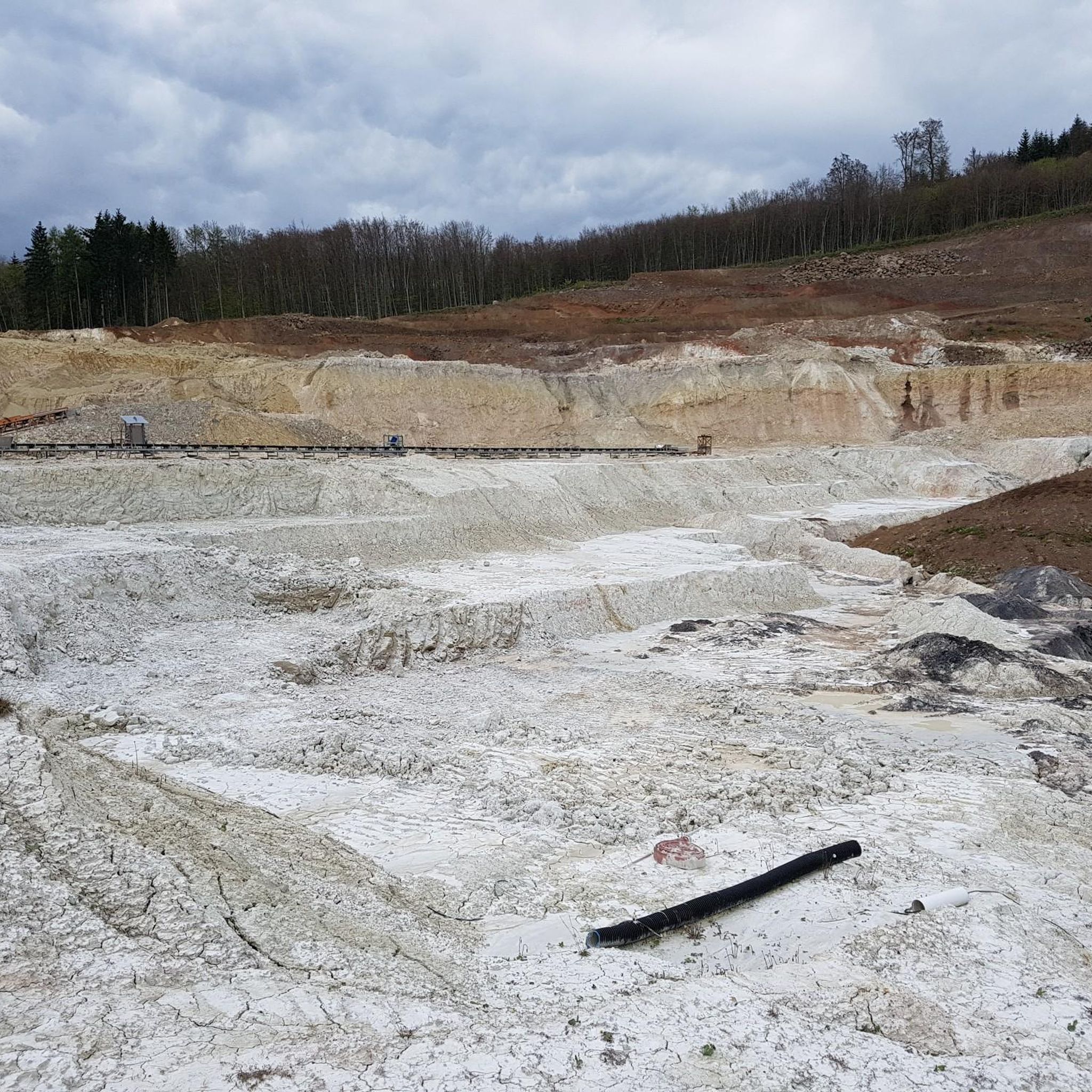
Muldsberg Clay Pit Lake
Highlight • Lake
The mining in the open pit was carried out with a bucket chain excavator. Until 1964, the material was brought to the edge of the pit by cable car and then by conveyor belts, and from there it was transported by truck to the cement works in Lägerdorf. After the abandonment of the neighboring Alsen clay pits near Wacken, the clay was transported for a short time (1974 to 1977) with the Alsens cable car to Itzehoe. The clay mining was stopped in 1996, the dismantling of all conveyor belts took place until 1999.
Since the artificial dewatering was discontinued in 2004, the pit has been filling with groundwater. The water and its surroundings are being developed as a biotope and for local recreation. There is a five-kilometer circular route with resting places around the water.
de.wikipedia.org/wiki/Tongrube_Muldsberg
Translated by Google •
Tip by

Sign up for free to discover even more natural monuments around Krummendiek.
Sign up for free
Already have an account?
Start today with a free account
Your next adventure awaits.
Login or Signup
Tips from the Community

Very clean place with shelter and guest book
3
0

Who can claim that they were once below sea level? Great highlight!
2
0

A bathing lake with several bays and small beaches. Benches invite you to a picnic. Rubbish bin and emergency telephone available. Dogs are not allowed in the lake.
5
0

Great area. Class documentation!
3
0

Since March 2013, the former Bundeswehr training area in Nordoe and immediately adjacent areas in the area of the municipalities of Dägeling, Kremperheide and Breitenburg have been a 407 large nature reserve. The Nature Conservation Foundation, together with the communities involved, wants to permanently protect the "inland dunes of Nordoe" on an area of 407 hectares. The nature reserve is a special protection area for the most part. (Source: https://www.kremperheide.de/freizeit-kultur/nahererung/nordoer-binnenduenen.html)
4
0
A very idyllic lake, with small entrances.
4
0
Since the beginning of 2013, the FFH area "Binnendünen Nordoe" has not only been a special protection area of European interest but also designated as a nature reserve under national law. The former military use has preserved the rest of an old inland dune area here and a partly uncoupled common land landscape these are protected from intensive agriculture, drainage, plowing up, fertilization or large-scale afforestation.Distinctive habitats include open sand pioneer plains, pine-covered inland dunes, grasslands, heather inland dunes, damp dwarf shrub heaths, and kratt-like oak forests.Many of the plant and animal species found in the area are Rare and highly endangered. Here you will find one of your last retreats in Schleswig-Holstein. The aim of protected area management is to preserve a spacious, open landscape in which the nutrient-poor conditions in particular are preserved.
3
0
Frequently Asked Questions
What are the most popular natural monuments around Krummendiek?
The most popular natural monument is Deckmann's Ponds, known for its sandy beaches and pleasant bathing water. Another highly visited spot is the Lowest Point in Germany, a unique viewpoint marking the country's lowest land elevation. Visitors also frequently explore the Nordoe Inland Dunes Nature Reserve, which offers scenic beauty with dunes and forests.
What kind of natural features can I expect to see in the Krummendiek region?
The Krummendiek region is characterized by diverse natural features. You'll find tranquil lakes like Deckmann's Ponds and Stormsteich Pond, as well as unique inland dunes at the Nordoe Inland Dunes Nature Reserve. The area also features significant geological points, such as the Lowest Point in Germany, and the broader landscapes shaped by the Elbe-Lübeck Canal and the North Sea dyke system.
Are there family-friendly natural monuments or activities around Krummendiek?
Yes, several natural monuments are ideal for families. Deckmann's Ponds offers sandy beaches and bathing opportunities. The Nordoe Inland Dunes Nature Reserve is great for exploring dunes and forests, and the Lowest Point in Germany provides an educational and impressive viewpoint. Lakes like Stormsteich Pond and Muldsberg Clay Pit Lake also offer pleasant settings for family walks and nature observation.
What outdoor activities can I do near the natural monuments in Krummendiek?
The region around Krummendiek is excellent for various outdoor activities. You can enjoy cycling along the flat paths of the Elbe-Lübeck Canal or the North Sea dykes. Hiking and running are popular, especially through the serene countryside and around the lakes. For specific routes, you can explore options like those found in the Cycling around Krummendiek guide, the Gravel biking around Krummendiek guide, or the Running Trails around Krummendiek guide.
Are there hiking trails near these natural monuments?
Yes, there are numerous hiking opportunities. You can find small footpaths directly along the water at Deckmann's Ponds, and the Nordoe Inland Dunes Nature Reserve offers trails through its unique dune and forest landscape. The Muldsberg Clay Pit Lake features a five-kilometer circular route with resting places. For more options, consult the Running Trails around Krummendiek guide, which includes various routes suitable for walking.
What is the best time to visit the natural monuments around Krummendiek?
The best time to visit is generally from spring to autumn when the weather is mild and conducive to outdoor activities. This period allows for comfortable cycling, hiking, and enjoying the tranquil landscapes. Summer is particularly good for activities around water bodies like Deckmann's Ponds.
Is the Lowest Point in Germany accessible for everyone?
The Lowest Point in Germany is noted as being wheelchair accessible, making it a site that can be enjoyed by a wider range of visitors. It offers an impressive perspective on the elemental forces associated with the Elbe River.
What do visitors enjoy most about the natural areas near Krummendiek?
Visitors frequently praise the tranquility and scenic beauty of the region. Many enjoy the peaceful walks around lakes like Deckmann's Ponds and Stormsteich Pond, and the unique landscape of the Nordoe Inland Dunes Nature Reserve. The impressive perspective offered by the Lowest Point in Germany is also a highlight for many.
Are there any natural monuments with historical significance in the area?
While Krummendiek's natural allure is primarily its tranquil setting, the broader region has historical connections. The Elbe-Lübeck Canal, though an artificial waterway, has a rich history dating back to the 1890s, replacing the medieval Stecknitz Canal. The North Sea dyke system also represents a significant historical human interaction with nature to protect the land. The Lowest Point in Germany, while a natural phenomenon, is marked by a monument that highlights the historical context of the Elbe River's influence on the landscape.
Can I spot wildlife in the natural areas around Krummendiek?
Yes, the natural areas offer opportunities for wildlife spotting. For instance, the Stormsteich Pond is a good place to observe water birds. The Muldsberg Clay Pit Lake, which is developing into a biotope, is known for its small cormorant population and other animals in its exciting forest surroundings.
Where can I find parking when visiting these natural monuments?
For the Nordoe Inland Dunes Nature Reserve, there is a dedicated parking lot available, making it convenient for visitors. For other locations, parking availability may vary, but generally, the region is well-equipped for visitors exploring its natural beauty.
Most popular routes around Krummendiek
Most popular attractions around Krummendiek

Get inspired with the komoot mobile app


Explore more
Extend your search for the best caves by checking out these guides of the top ones around Krummendiek:
