Top 20 Natural Monuments around Zschorlau
Best natural monuments around Zschorlau are located in the Saxon Ore Mountains, a region characterized by forests, rivers, and mountains. This area features diverse landscapes and geological formations, offering insights into the local environment. The natural features are recognized for their scientific, natural historical, and regional significance, providing opportunities for outdoor exploration.
Best natural monuments around Zschorlau
- The most popular natural monuments is Devil's Stones, a natural monument that serves as a significant climbing rock and characteristic peak of…
Last updated: July 8, 2026
Blauenthal Waterfall
Highlight • Waterfall
"After the First World War, the owner of the Toellische paper factory had a new …
Translated by Google •
Tip by

Devil's Stones
Highlight • Natural Monument
Translated by Google •
Tip by

Sign up now to discover places like this
Get recommendations on the best single tracks, peaks, & plenty of other exciting outdoor places.
Sign up for free
Princes' Cave
Highlight • Cave
Translated by Google •
Tip by

Toellischer Graben Trail
Highlight • Trail
Translated by Google •
Tip by

Eibenstock Dam
Highlight • Monument
Translated by Google •
Tip by

Sign up for free to discover even more natural monuments around Zschorlau.
Sign up for free
Already have an account?
Start today with a free account
Your next adventure awaits.
Login or Signup
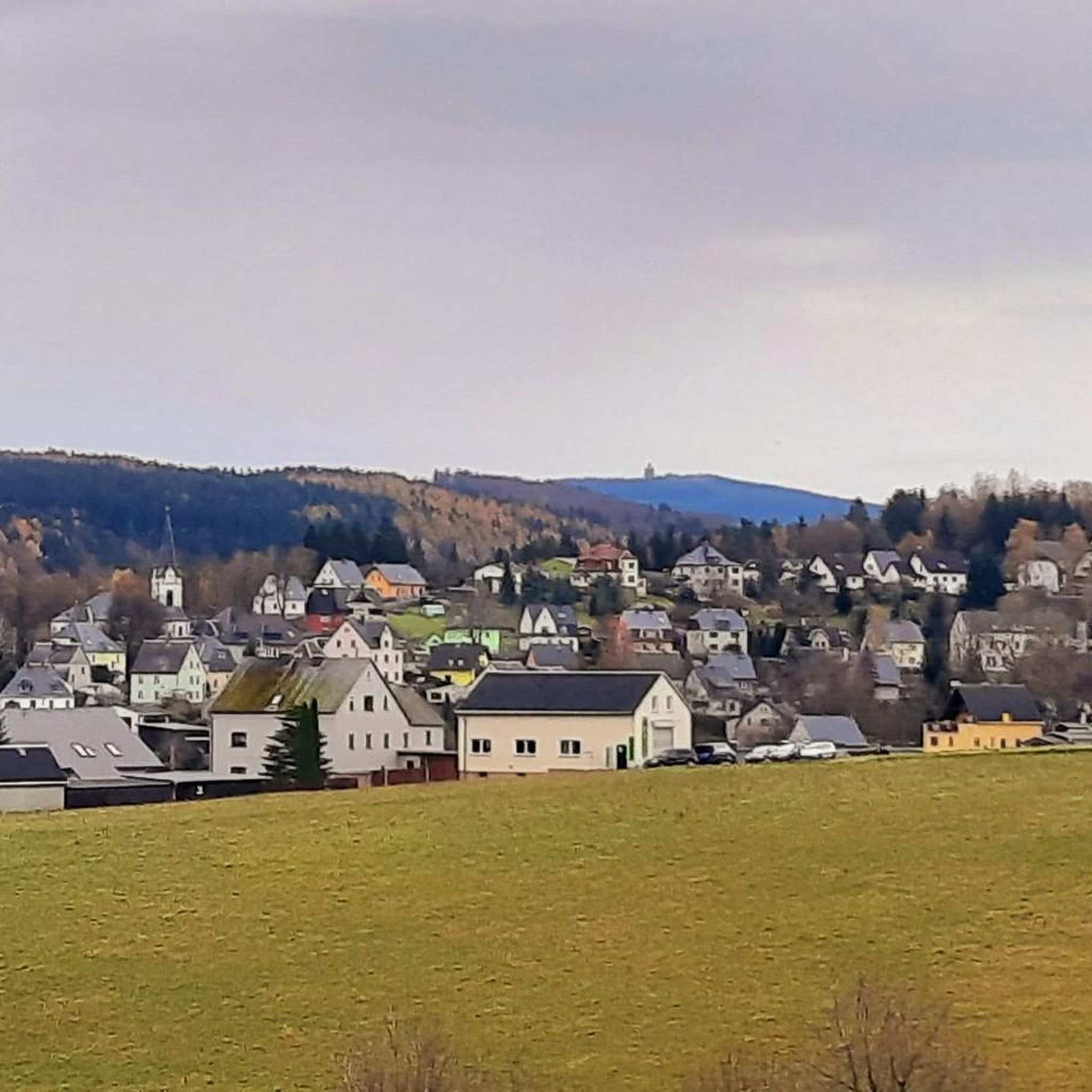
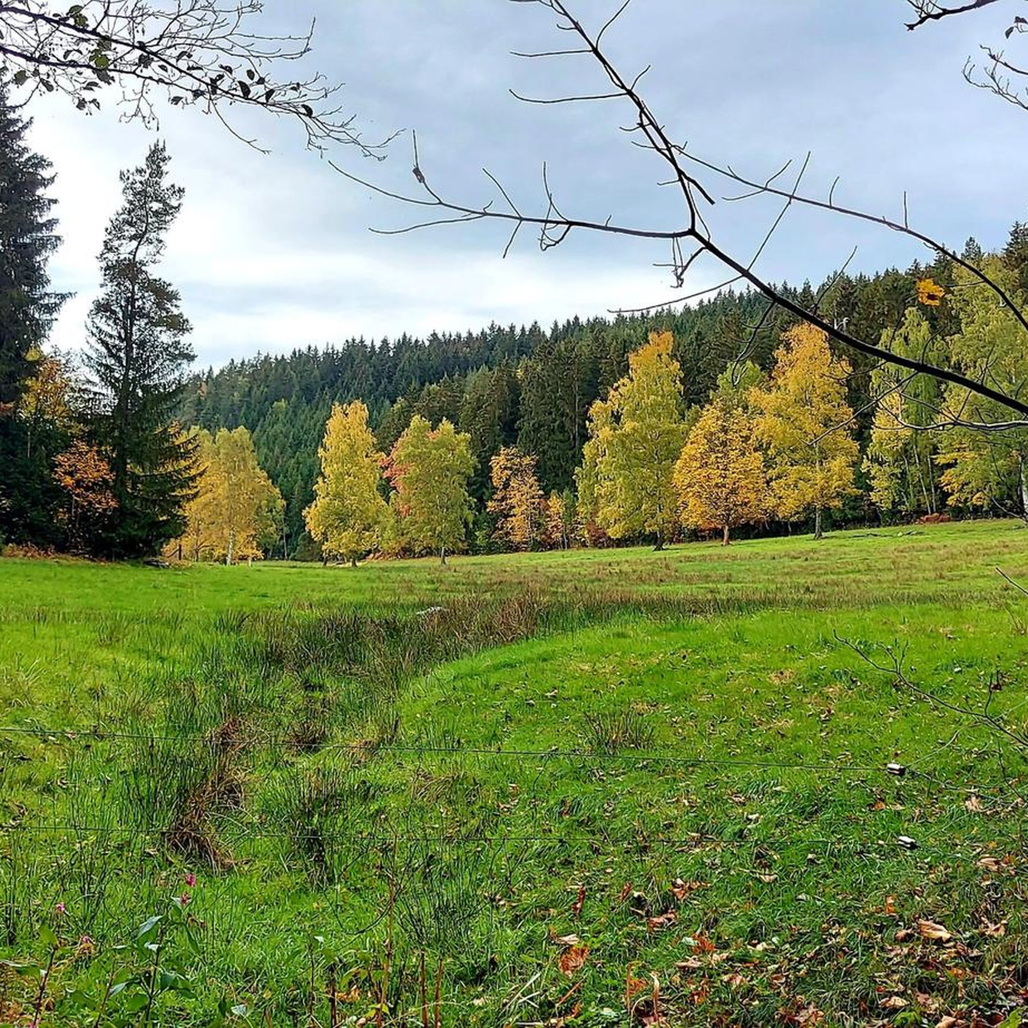
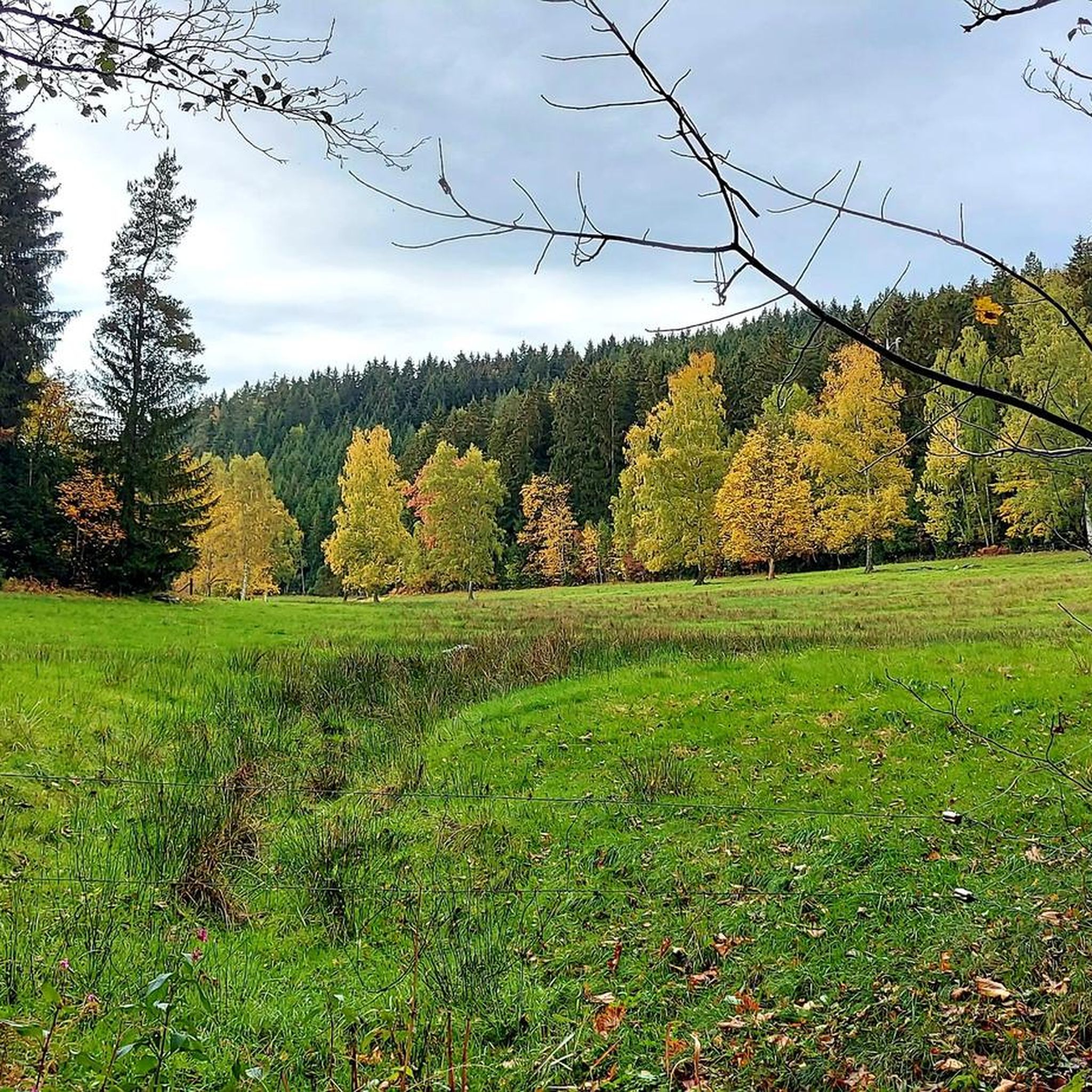
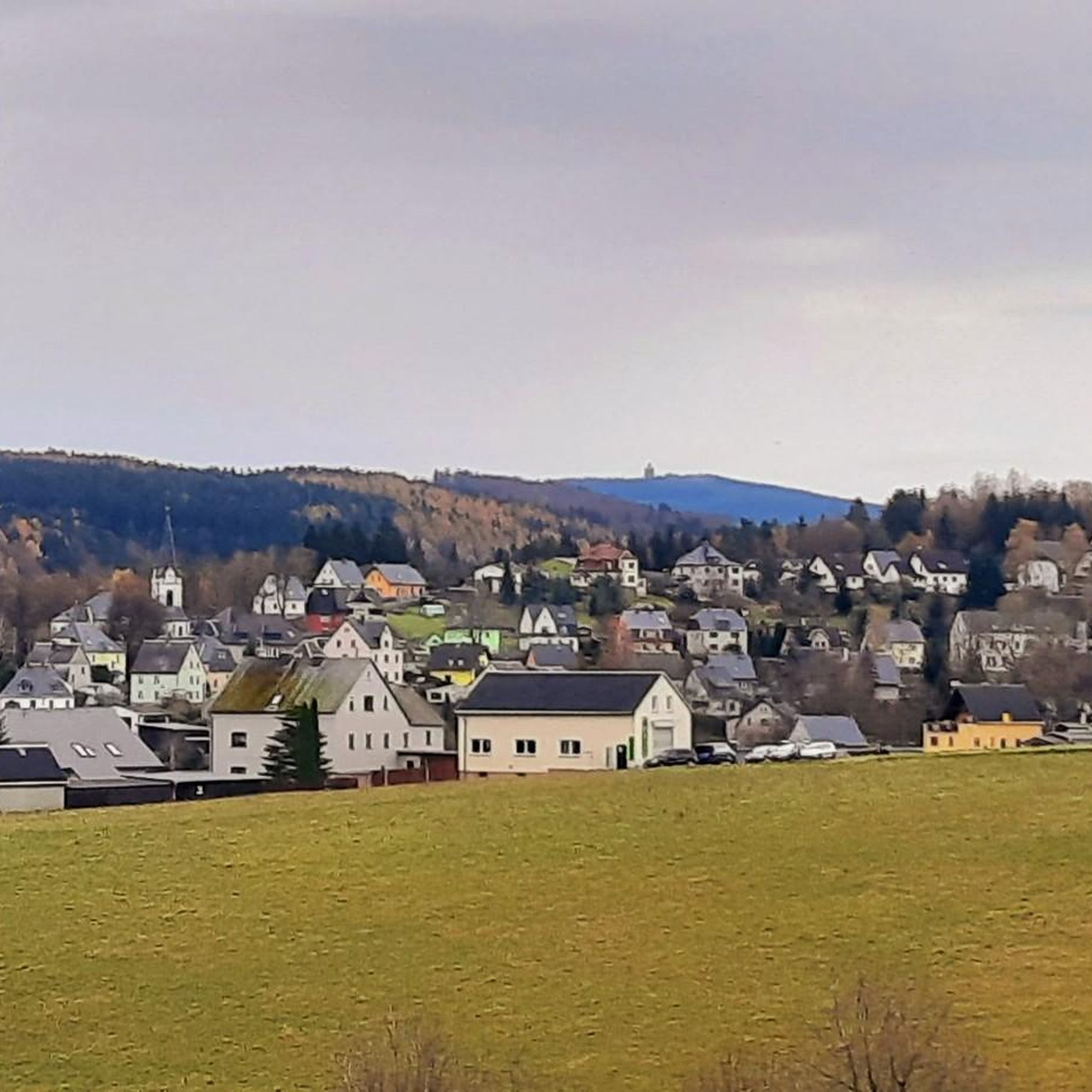
Tips from the Community

Today the path along the ditch was very overgrown with weeds. People need to walk more, otherwise there will soon be no paths left.
0
0

The Toellesche Graben carried water to Mr. Toelle's wood grinding mill, today the Blauenthal Waterfall.
0
0

The Toellescher Graben, which was built for industrial purposes by the Toellescher family and also feeds the Blauenthal waterfall. If the flora and the air temperature were not so clearly different, you would have thought you were hiking along the levadas on Madeira.
0
0

a great corner, always worth a trip
1
0

One of the most beautiful waterfalls I know 😍. If you continue the hike to the right, you can see the waterfall from above 😊.
14
2

The largest waterfall in Saxony and one of the highest German waterfalls outside the Alps is located in the immediate vicinity of Blauenthal. This former site of a flour and board mill was bought by Andreas Blau around 1530 and converted into a hammer mill. After the First World War, the owner of the paper factory had a new ditch dug above a steep rock face in order to use the water to drive his turbines. On Sundays and public holidays, the machines stood still and the water rushed down into the valley.
10
1

Great path. Right along the ditch. We were here in the winter and will definitely come back in the summer.
1
0
Frequently Asked Questions
What kind of natural features can I expect to see around Zschorlau?
The natural monuments around Zschorlau showcase a diverse landscape, including impressive rock formations, historic mining sites reclaimed by nature, and picturesque waterfalls. You can explore unique geological features and enjoy the natural beauty of the Saxon Ore Mountains.
Are there family-friendly natural monuments in the Zschorlau area?
Yes, several natural monuments are suitable for families. For instance, the Devil's Stones offer various climbing routes for all skill levels and a great summit experience. The Small Cascades on the Floßgrabenweg also provide a scenic and accessible spot for a break.
What outdoor activities can I do near the natural monuments?
The region around Zschorlau is excellent for various outdoor activities. You can enjoy hiking, mountain biking, and road cycling. For example, there are numerous waterfall hikes, MTB trails, and road cycling routes that allow you to explore the natural beauty and historical sites.
Where can I find impressive waterfalls near Zschorlau?
The Blauenthal Waterfall is a must-see, known as the highest waterfall in Saxony. Although man-made, its transformation into a natural spectacle is remarkable. Another charming spot is the Small Cascades on the Floßgrabenweg, which were originally constructed for energy conversion but now offer a picturesque setting.
Are there any natural monuments with historical significance?
Yes, the region has a rich mining history that intertwines with its natural monuments. The Princes' Cave, for example, is not natural in origin but a medieval mine tunnel with a fascinating history related to the Saxon princely abduction. The Türkschachthalde, a re-naturalized former mining dump, also exemplifies nature reclaiming industrial sites.
What do visitors enjoy most about the natural monuments in Zschorlau?
Visitors frequently appreciate the diverse hiking opportunities and the unique blend of natural beauty with historical context. The scenic views from spots like the Eibenstock Reservoir and the challenging climbing routes at the Devil's Stones are particularly popular. Many also enjoy discovering the stories behind sites like the Blauenthal Waterfall and its connection to the Toellescher Graben.
Can I learn about the region's mining history while visiting natural monuments?
Absolutely. The Ore Mountains are steeped in mining history. While exploring the Eibenstock Reservoir, you can find hiking trails along the water that provide insights into the region's past. The Princes' Cave, an old mine tunnel, is another direct link to this heritage.
Are there any viewpoints offering expansive views of the landscape?
The Eibenstock Reservoir offers expansive views over the large water surface and the surrounding valley. Additionally, the Devil's Stones provide excellent summit experiences with panoramic vistas of the region.
What is the best time of year to visit the natural monuments around Zschorlau?
The natural monuments around Zschorlau can be enjoyed throughout the year, with each season offering a different charm. Spring and autumn provide pleasant temperatures for hiking and vibrant foliage, while summer is ideal for longer explorations. Winter offers a serene, snow-covered landscape, though some trails might be more challenging.
Are there any unique rock formations to explore?
Yes, the Devil's Stones are a prominent example, serving as a significant climbing rock and a characteristic peak of the region. This granite formation offers a variety of climbing routes and is a true treasure trove for those interested in unique rock structures.
Are there opportunities for longer, more challenging hikes?
Yes, the area offers trails for various fitness levels. While there are easy walks, you can also find more challenging routes. For instance, the 'Blauenthal Waterfall – Toellischer Graben Trail loop from Blauenthal' is a difficult 28 km hike, and the 'View of Albernau – Blauenthal Waterfall loop from Zschorlau' is a difficult 19 km option, both part of the waterfall hikes guide.
Most popular routes around Zschorlau
Most popular attractions around Zschorlau

Get inspired with the komoot mobile app


Explore more
Extend your search for the best caves by checking out these guides of the top ones around Zschorlau:
