Top 9 Bike Parks around Marzling
Best bike parks around Marzling are characterized by a diverse network of mountain biking trails that utilize the natural landscape. The region features the scenic Isar valley, rolling hills, and extensive forests, providing varied terrain for cyclists. These trails offer a range of experiences, from riverside paths to challenging forest descents. Marzling's natural setting makes it a destination for those seeking outdoor cycling adventures.
Best bike parks around Marzling
- The most popular bike park is Isarauen Trail Between Hangenham and…
Last updated: July 8, 2026
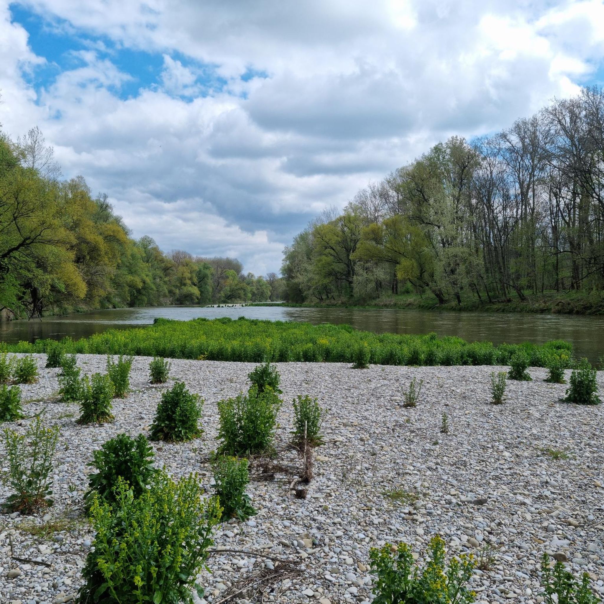
Singletrack in the Isar floodplains between Hangenham and Moosburg
Highlight • Trail
Translated by Google •
Tip by

Isarauen Trail Between Hangenham and Moosburg
Highlight (Segment) • Trail
Beautiful, deserted and with natural streams running through. Because of fallen trees and neat potholes you should be reasonably cross-country on the way.
Translated by Google •
Tip by

Sign up now to discover places like this
Get recommendations on the best single tracks, peaks, & plenty of other exciting outdoor places.
Sign up for free
Challenging Forest Descent
Highlight (Segment) • MTB Park
Translated by Google •
Tip by
Weltwald XCO Track (5 km)
Highlight (Segment) • MTB Park
Start / finish: at the fork dir. Forest chapel.
The first 500m go uphill to the chapel. …
Translated by Google •
Tip by

Freisinger Forest
Highlight (Segment) • Forest
Translated by Google •
Tip by

Sign up for free to discover even more bike parks around Marzling.
Sign up for free
Already have an account?
Start today with a free account
Your next adventure awaits.
Login or Signup

Tips from the Community

Wonderful landscape, nice to go exploring here
0
0

Great adventure trail. Lots of curves, tightly overgrown but actually always rideable. I would classify it as S1+. Depending on your level of difficulty, up to S4 if you want to ride over all the trees lying across the path (only for stump jumpers). The branches and trees lying across the path require constant attention. With a mechanical MTB, some tree trunks would still be rideable, but I have to push or lift my e-bike over them (the plastic cover of the motor under the bottom bracket is not a rock ring). If you want to ride fast, you have to take the north bank.
0
0

DANGER! Not so passable anymore. In the direction of Moosburg you go to the small bridge (see markings on the map). But after that there is actually no way on the southern bank of the Isar. Too many fallen trees and bushes make it almost impossible to get through.
1
0

Drive down the Isar at the small bridge over the Goldach at the latest! The Isarufertrail is not mobile due to to many fallen trees. If you still want to try it, you should plan about 1h30m for the 5km to the Isar bridge near Gaden and be prepared to lift the bike over tree trunks about 40 times and then climb over other tree trunks over the Goldach. But then it's great fun, especially in the very last light of day
1
0

Small trail to practice!!! Suitable for beginners !!!
0
0

Beautiful view
0
0

Nice trial for spring or fall. Everything is overgrown in the summer.
0
0

A really beautiful and idyllic trail to ride in both directions. In summer it is overgrown and therefore difficult to drive on. We went in winter and spring and it's a lot of fun then. However, the bike has to be lifted over fallen trees. From the bridge at Marzling, you can expect a number of pedestrians and dogs about 1km away. The old rusty barrier at the bridge near Oberhummel marks the entrance there
2
0
Frequently Asked Questions
What kind of bike parks can I expect around Marzling?
Marzling is known for its natural mountain biking trails rather than traditional bike parks with constructed features. The area offers a diverse network of trails that utilize the natural landscape of the Isar valley, rolling hills, and extensive forests, providing varied terrain for all skill levels.
Are there any challenging trails for experienced mountain bikers?
Yes, for experienced riders, the Isarauen Trail Between Hangenham and Moosburg is considered one of the most beautiful and challenging trails in the region, offering a wild, natural track with views of the Isar river. Another demanding option is the Challenging Forest Descent, which features a quick downhill ride with varied ground conditions and natural drainage ditches that can be used for jumps.
Are there family-friendly options for mountain biking in Marzling?
Yes, the MTB Park Kranzberg is a public, family-friendly park recently built by the municipality. It's easily accessible by bike or on foot and provides a great space for practicing jumping skills.
What is the best time of year to visit the bike trails around Marzling?
Many natural trails, such as the Isarauen Trail Between Hangenham and Moosburg, are particularly enjoyable in spring or autumn. In summer, some trails can become overgrown, making them more difficult to navigate. Always check local conditions before heading out.
What are some intermediate mountain biking trails in the area?
Intermediate riders can enjoy the Singletrack in the Isar floodplains between Hangenham and Moosburg, which offers a very nice single trail experience through forest and floodplains. The Weltwald XCO Track (5 km) is another intermediate option, featuring gravel paths, varied elevation, and sharp turns through the Weltwald forest.
What natural features can I expect to see while mountain biking in Marzling?
The trails often lead through extensive forests, along the scenic Isar riverbanks, and across rolling hills. You'll encounter natural streams, diverse flora, and picturesque views of the Isar valley. Some trails, like the Isarauen Trail, are noted for their wild and natural character.
Are there other outdoor activities available near the bike trails?
Absolutely! Besides mountain biking, you can find various other outdoor activities. There are numerous routes for cycling around Marzling, including scenic riverside paths. For those who prefer walking, there are also many easy hikes around Marzling.
How long are the mountain biking trails around Marzling?
Trail lengths vary. For example, the Weltwald XCO Track is a 5 km route. Other popular loops like the Freisinger Forest – Marzling Forest MTB Trail are around 23 km, while the Isar Cycle Path – Isar Rapids loop can be as long as 52 km, offering options for different ride durations.
What should I be aware of regarding trail conditions?
Many natural trails can have varied ground conditions, including compacted gravel, singletrack, and sometimes obstacles like fallen trees and significant potholes. Some trails can also become overgrown in summer. An off-road capable bike is recommended, and always be considerate of hikers, especially on multi-use paths.
What do visitors enjoy most about the bike trails in Marzling?
Visitors highly appreciate the natural beauty and diverse terrain. The trails are praised for their wild, idyllic character, scenic views of the Isar, and the opportunity for challenging descents and fun singletrack experiences. The Komoot community rates the region's mountain biking routes with an average of 4.9 stars.
Can I find cafes or pubs near the bike trails in Marzling?
While specific cafes or pubs directly adjacent to every trail are not listed, the region around Marzling and nearby Freising offers various options for refreshments. Many popular cycling routes, such as the Tipi Village in Amerika-Garten – Weissbräu Huber, Freising loop, pass through areas where you can find places to stop.
Most popular routes around Marzling
Most popular attractions around Marzling

Get inspired with the komoot mobile app


Explore more
Still looking for your perfect bike park? Check out our guides in these places:
