Top 20 Natural Monuments around Weyregg am Attersee
Best natural monuments around Weyregg am Attersee are found on the eastern shore of Lake Attersee, offering diverse natural features. The region is characterized by its prominent lake, surrounding mountains, and historical natural landmarks. These natural attractions provide opportunities for exploration and connection to the area's past. The landscape includes lakes, summits, and unique ecological sites.
Best natural monuments around Weyregg am Attersee
- The most popular natural monuments is Nixie Falls, a waterfall that is the destination of a…
Last updated: July 7, 2026
Mondsee (near Oberburgau)
Highlight • Lake
Translated by Google •
Tip by

Großer Schoberstein summit
Highlight • Summit
Translated by Google •
Tip by

Sign up now to discover places like this
Get recommendations on the best single tracks, peaks, & plenty of other exciting outdoor places.
Sign up for free
South Shore of Lake Attersee
Highlight • Lake
Translated by Google •
Tip by

Nixie Falls
Highlight • Waterfall
Translated by Google •
Tip by

Rear Langbathsee
Highlight • Lake
Translated by Google •
Tip by

Sign up for free to discover even more natural monuments around Weyregg am Attersee.
Sign up for free
Already have an account?
Start today with a free account
Your next adventure awaits.
Login or Signup
Popular around Weyregg am Attersee
Attersee-Attergau — The long distance hiking trail once around
Around the Attersee – long-distance trails and the mountain hikes
A spiritual loop between two Austrian lakes – Josefweg
Fourteen Wadlbeißer – best road cycling routes in Upper Austria
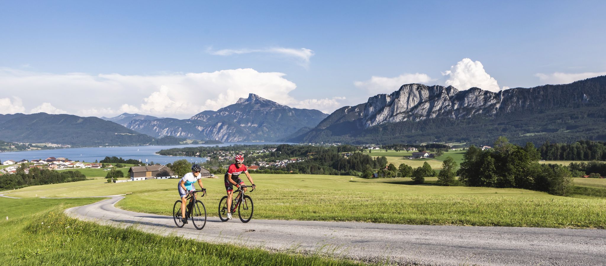
On slim tires through the SalzburgerLand & Salzkammergut
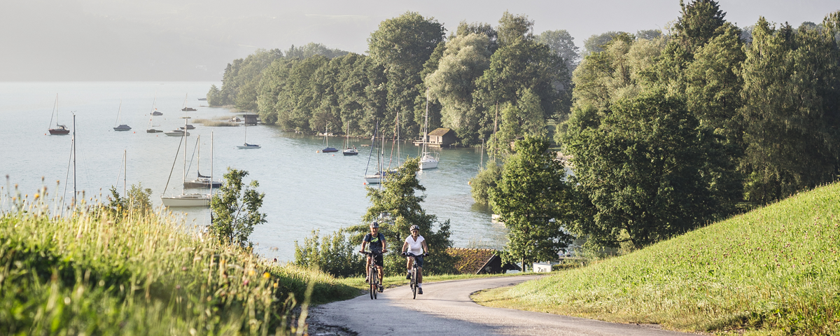
Stunning views and trails – six MTB loops around Attersee Lake
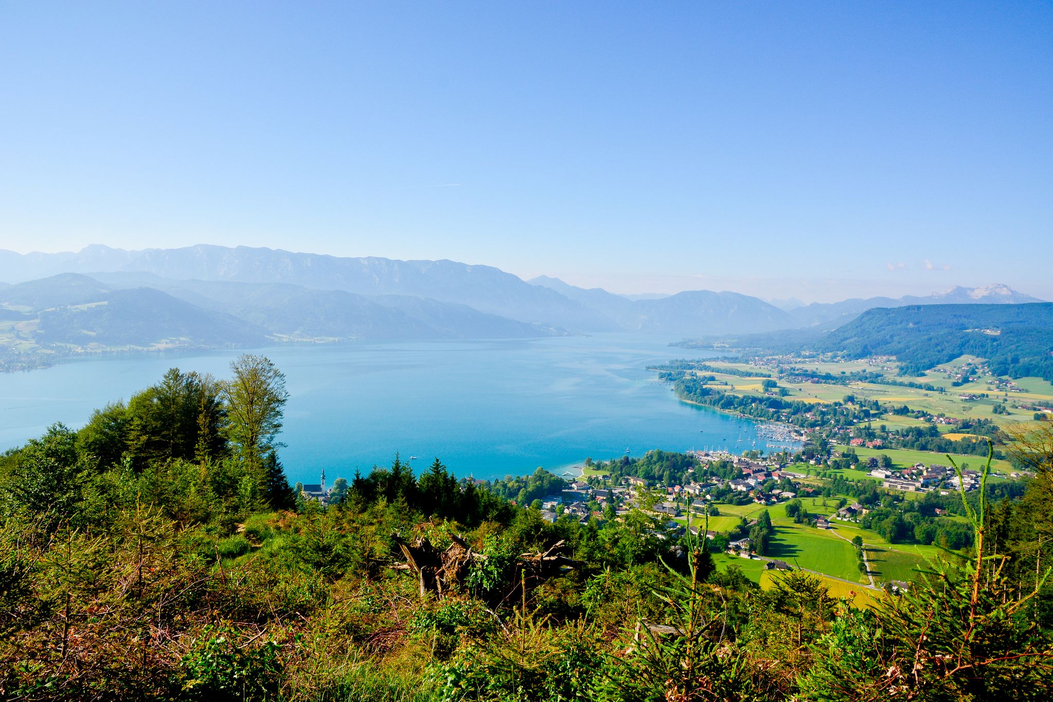
Discover Austria’s largest lake — day hikes around Lake Attersee
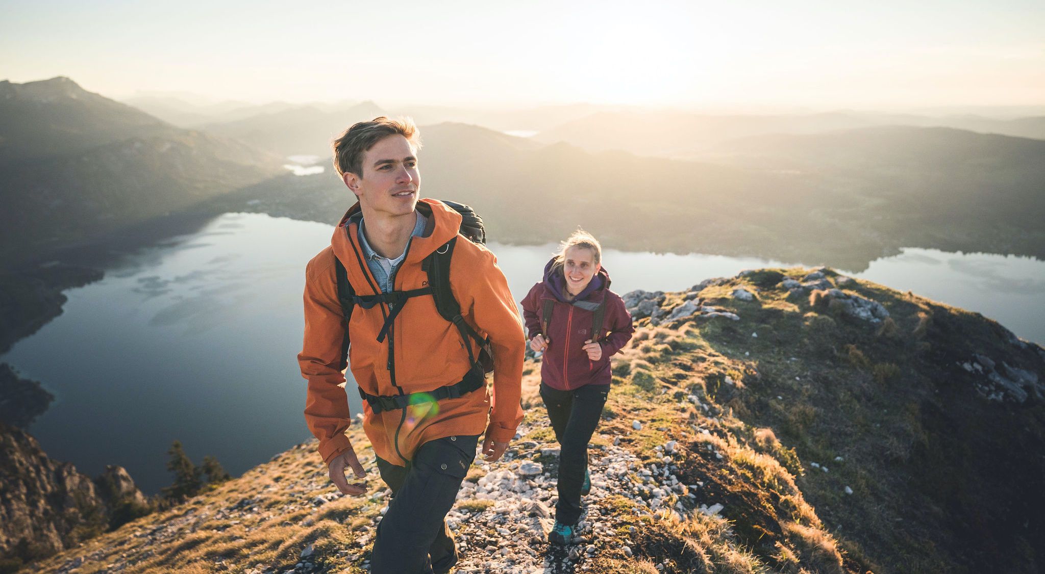
Far away from everyday stress – hikes around the Attersee
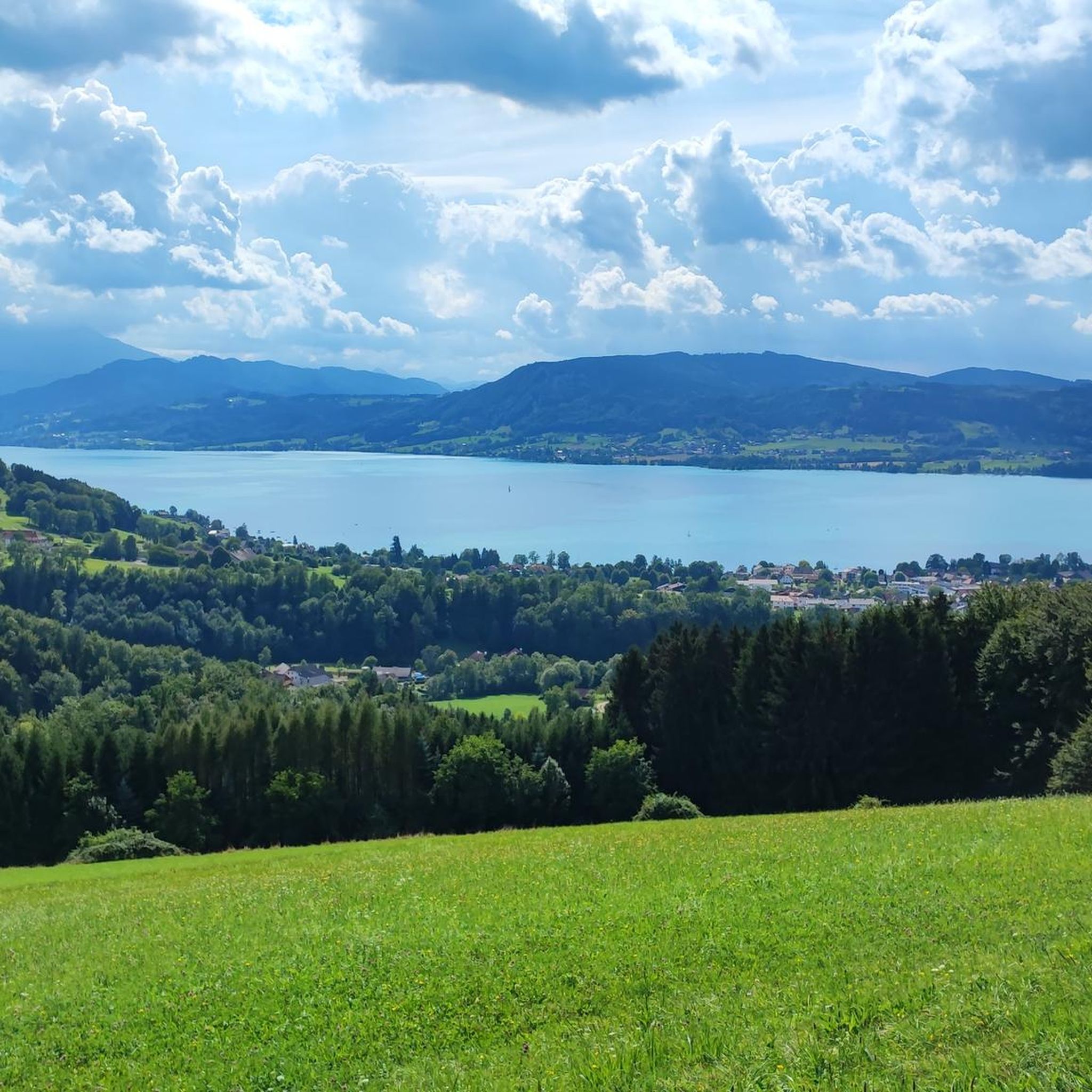
Hiking around Weyregg am Attersee
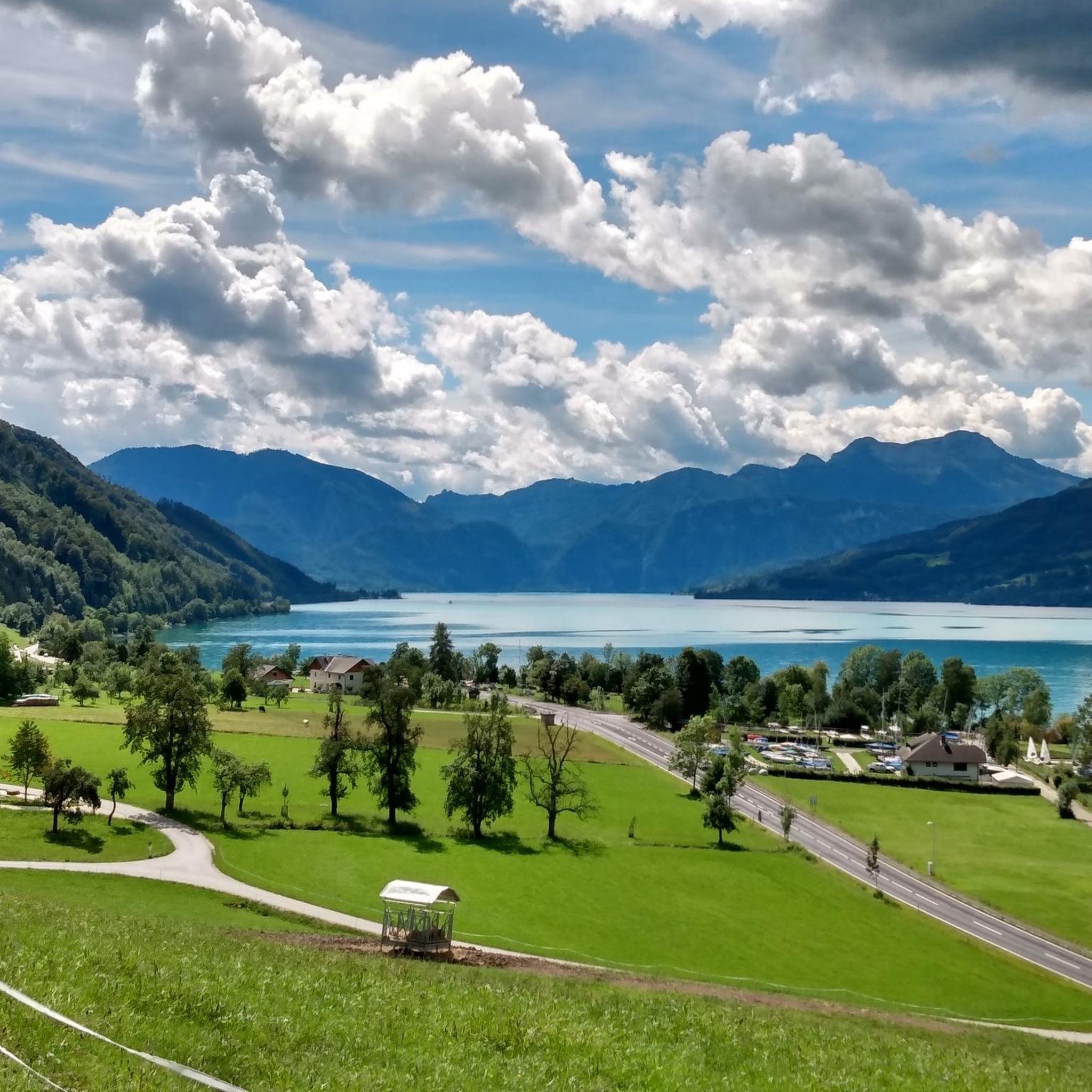
Road Cycling Routes around Weyregg am Attersee
Other adventures around Weyregg am Attersee


Tips from the Community


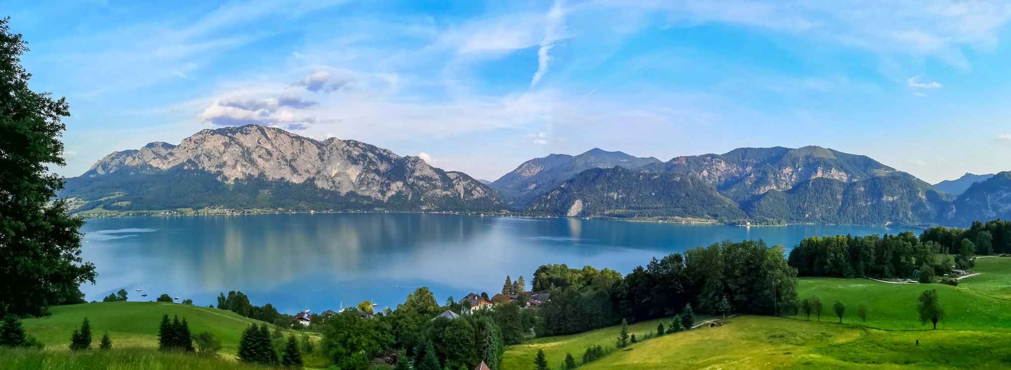
The Attersee is the largest lake in Upper Austria and is located in the Salzkammergut. The southern shore of the lake is framed by the foothills of the Schafberg.
3
1
The southern shore of Lake Attersee belongs to the federal state of Salzburg and the municipality of St. Gilgen. It is characterized by the foothills of the Schafberg and the Höllengebirge, which fall steeply down to the lake1. The village of Burgau is located on the south bank and is bordered by the Äußeren Weißenbach and the Seeache. The Seeache is the outflow of the Attersee, which drains into the Danube via the Ager. On the south bank there are also remains of prehistoric stilt houses, which are part of the UNESCO World Heritage. The southern shore of Lake Attersee is a popular destination for cyclists, who can ride along the lake or through the surrounding forests. There are also several bathing opportunities and viewpoints on the southern shore.
3
1
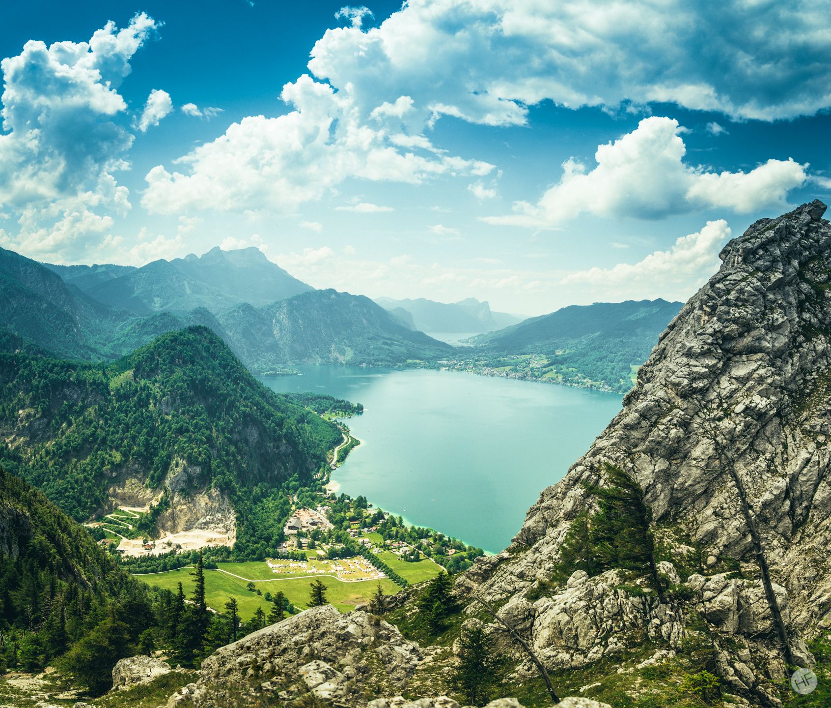
The Oberburgau is located 30 kilometers east of the city of Salzburg. It is around 8 kilometers south-east of the town center of the Mondsee market on the southern shore of the Mondsee (481 m above sea level) on the narrow strip of shore at the northern foot of the Schafberg in the Salzkammergut mountains. A few meters from the Mondsee shoreline is the Kreuzstein (Mondsee), which no longer belongs to Oberburgau, but like the entire Mondsee to the market town of the same name and thus to the state of Upper Austria. Opposite rise the Mondsee Flyschberge with the Hochplett.
6
1
The Langbathseen are two mountain lakes in the Salzkammergut in the municipality of Ebensee am Traunsee.
15
1
After the recent downward trend, the Hintere Langbathsee was no longer in “very good” ecological condition in 2019 for the first time since 2011. This is primarily explained by the dominance of the cryptomonads Cryptomonas ovata and C. rostratiformis, which are classified in the higher nutrient range, which pushed the Brettum index down to below 3 in the first half of the year and thus into the trophic range rated as "moderate". In addition, in early autumn there was an over-optimal population development of the dinoflagellate Gymnodinium uberrimum (> six times the reference value of the biovolume) and consequently only a "moderate" condition (for biovolume and chlorophyll-a). Apart from that, the amount of algae in the rear Langbathsee remained largely in line with the model for the rest of the year and the current three-year average is still unaffected by this.
17
1
The Hinterer Langbathsee is located about 2 km west of the Vorderer Langbathsee in the municipality of Ebensee at approximately 13°39 ́ east longitude and 47°50 ́ north latitude. The lake has a few surface tributaries, such as the Hirschbach, which flows into it to the south, but in dry periods all of these dry out at least on the surface. The majority of the water inflow is underground. The outflow is via the Pfrillenbach, which flows out on the east side and flows into the Vorderer Langbathsee after about 1.5 km of partially underground flow.
16
2
Hinterer Langbathsee (600 m long, 400 m wide, approx. 23 m deep) - absolute nature reserve and a natural jewel. Walking time from the Vorderen to the Hinteren Langbathsee around 45 minutes.
16
0
Frequently Asked Questions
What are some of the most popular natural monuments around Weyregg am Attersee?
Visitors frequently enjoy the Nixie Falls, known for its family-friendly hike and scenic backdrop. Another favorite is the Großer Schoberstein summit, which offers panoramic views of Lake Attersee and the Salzkammergut region. The Rear Langbathsee is also highly appreciated for its crystal-clear water and status as a nature reserve.
Are there family-friendly natural monuments around Weyregg am Attersee?
Yes, several natural monuments are ideal for families. The Nixie Falls offers an easy hike with adventure stations, perfect for children. The South Shore of Lake Attersee provides public bathing areas and opportunities for relaxation. Additionally, the Rear Langbathsee is family-friendly, offering beautiful reflections and a pleasant walk.
What natural features can I explore in the Weyregg am Attersee region?
The region boasts a variety of natural features, including stunning lakes like Mondsee and the expansive Lake Attersee itself, known for its clear, deep blue water. You can also discover impressive summits such as Großer Schoberstein, and picturesque waterfalls like the Nixie Falls. Unique ecological sites like the historic Grenzhecke also add to the diverse landscape.
Are there any natural monuments with historical significance in the area?
Yes, the Grenzhecke (border hedge) in Bach and Reichholz is a natural monument with significant historical value. This 1350-meter-long hazel hedge dates back to the 16th century and the flourishing salt trade, where hazel sticks were used for salt barrel hoops. It's a living artifact connecting visitors to the region's past. Furthermore, the southern shore of Lake Attersee holds remains of prehistoric pile dwellings, a UNESCO World Heritage site, showcasing early human settlement.
Which natural monuments offer the best panoramic views?
For breathtaking panoramic views, the Großer Schoberstein summit is highly recommended. From its peak, you can see Lake Attersee, the Schafberg, and even a glimpse of Lake Mondsee. The ascent provides rewarding vistas of the entire Salzkammergut region.
What outdoor activities can I do near these natural monuments?
The area around Weyregg am Attersee offers diverse outdoor activities. You can enjoy easy hikes, such as the 'View of Weyregg am Attersee – SeeAlpaka Alpaca Enclosure loop'. For mountain biking, routes like the 'Attersee-Krahberg circular tour' are available. Running enthusiasts can explore trails like the 'Miesenbachklamm Gorge – Schahöbrunn Water Fountain loop'. For more details on routes, check the easy hikes, MTB trails, and running trails guides for Weyregg am Attersee.
Are there hiking trails near the natural monuments in Weyregg am Attersee?
Yes, there are numerous hiking trails. For instance, you can find easy hikes like the 'Kreuzing Alm Inn – Kreuzingalm loop' or the 'Panoramic View from Gahberg – View of Lake Attersee loop'. The Nixie Falls also features a pleasant family hike. You can find more hiking options in the easy hikes guide for Weyregg am Attersee.
Can I bring my dog to the natural monuments in the Attersee region?
Many natural areas in the Attersee region are dog-friendly. For example, the hike to Nixie Falls is suitable for dogs. When visiting summits like Großer Schoberstein, it's possible to bring your dog, but it's advised to keep them leashed due to potential falling hazards and wildlife.
What do visitors enjoy most about the natural monuments around Weyregg am Attersee?
Visitors particularly enjoy the stunning views, especially from summits like Großer Schoberstein, which reward climbers with fantastic panoramas. The clear, refreshing waters of Lake Attersee and Rear Langbathsee are also highly praised for swimming and their magical reflections. The family-friendly atmosphere and adventure stations along the path to Nixie Falls are also a big hit.
Are there any wheelchair accessible natural sights in Weyregg am Attersee?
The Rear Langbathsee is noted as being wheelchair accessible, offering a chance to enjoy its natural beauty and reflections. It's always advisable to check specific access details for other locations.
What is the best time to visit the natural monuments in Weyregg am Attersee?
The natural monuments around Weyregg am Attersee can be enjoyed throughout the year, depending on the activity. Spring and autumn offer pleasant temperatures for hiking and exploring the Grenzhecke or the Attersee-Traunsee Nature Park. Summer is ideal for water activities in Lake Attersee and visiting waterfalls like Nixie Falls. Even in winter, some trails and views can be beautiful, though conditions may vary.
Are there any unique natural monuments beyond the main attractions?
Beyond the well-known spots, the Grenzhecke (border hedge) in Bach and Reichholz stands out as a unique natural monument. This approximately 1350-meter-long hazel hedge is considered unique in Upper Austria due to its historical significance related to the salt trade and its ecological value. It offers a tangible connection to the region's past and ingenuity.
Most popular routes around Weyregg am Attersee
Most popular attractions around Weyregg am Attersee

Get inspired with the komoot mobile app


Explore more
Extend your search for the best caves by checking out these guides of the top ones around Weyregg am Attersee:
