Top 13 Mountain Passes around Puch bei Hallein
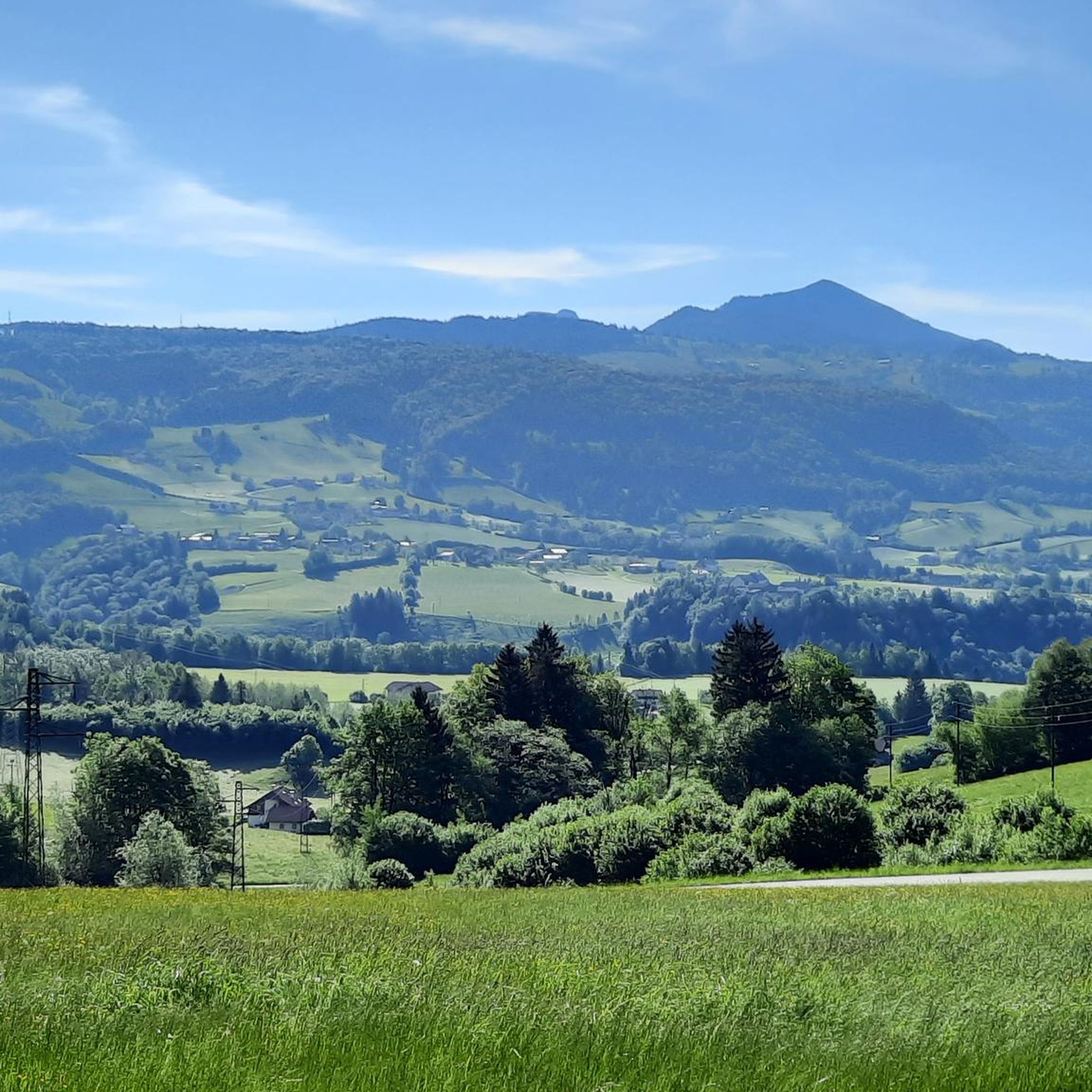
Best mountain passes around Puch bei Hallein are situated in the mountainous Tennengau region, offering a landscape rich in hiking opportunities. The area is characterized by its alpine pasture areas and diverse hiking experiences, making it a starting point for exploring the Salzburg Alps. Puch bei Hallein lies at the foot of the Untersberg massif, providing access to various hiking tours from leisurely strolls to challenging summit climbs. The region offers panoramic views and natural features for outdoor enthusiasts.
Best…
Last updated: August 17, 2026
Rossfeld Panorama Road Viewpoint
Highlight • Viewpoint
Translated by Google •
Tip by

Mittagsscharte
Highlight • Mountain Pass
location
It is located between the Salzburg Hochthron (1 853 m above sea level) in the north and the Raucheck (1 …
Translated by Google •
Tip by

Sign up now to discover places like this
Get recommendations on the best single tracks, peaks, & plenty of other exciting outdoor places.
Sign up for free
Rossfeld Panorama Road
Highlight • Mountain Pass
Showing Translation
Tip by
Rossfeld Panoramic Ring Road
Highlight (Segment) • Viewpoint
Translated by Google •
Tip by

View of the Watzmann
Highlight • Viewpoint
Translated by Google •
Tip by

Sign up for free to discover even more mountain passes around Puch bei Hallein.
Sign up for free
Already have an account?
Start today with a free account
Your next adventure awaits.
Login or Signup
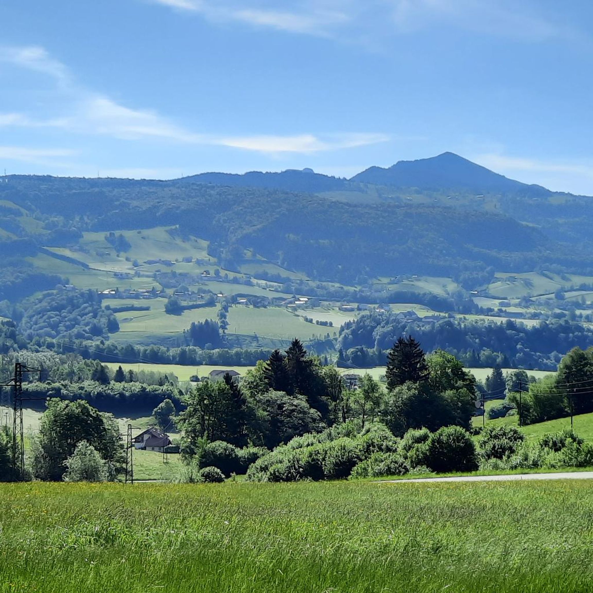
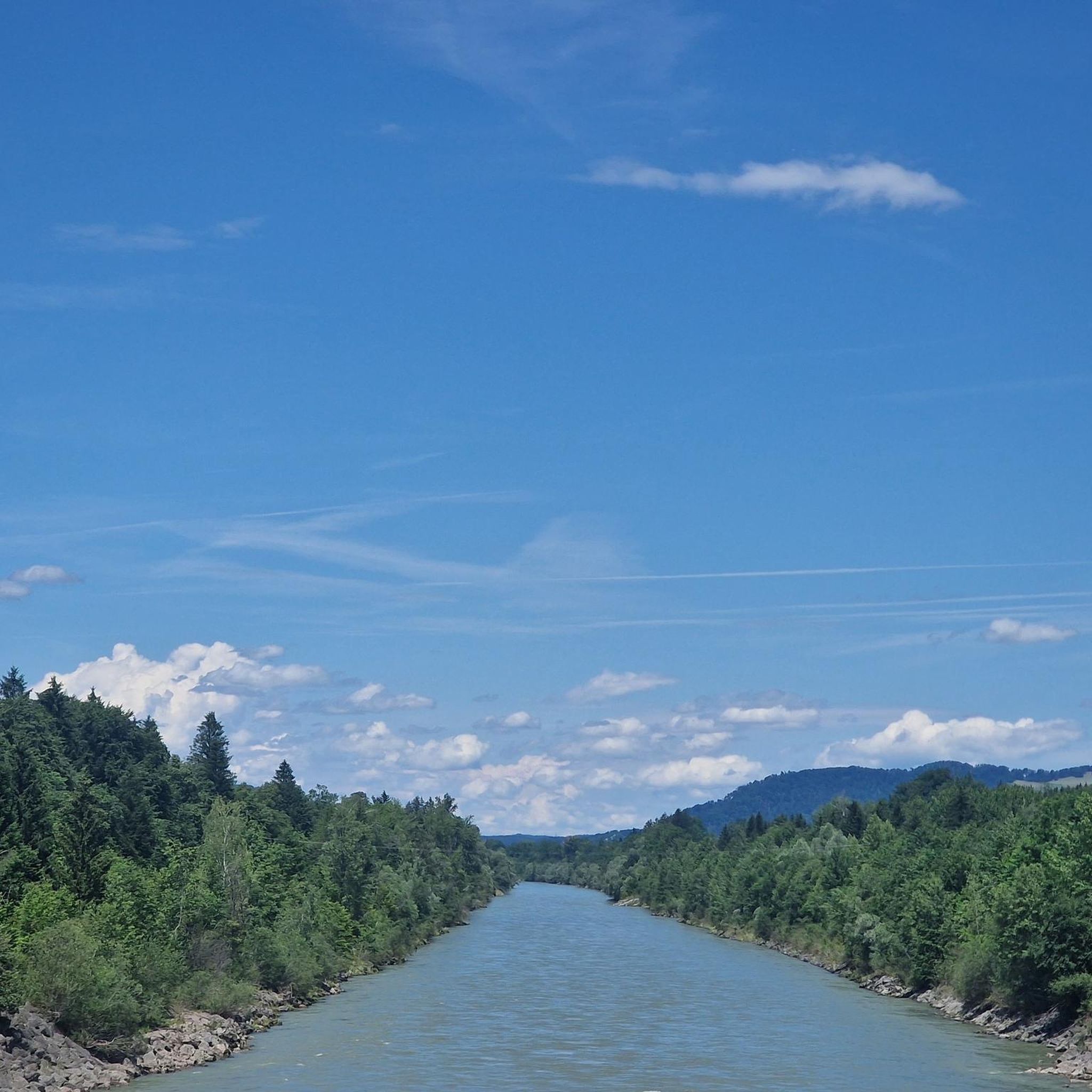
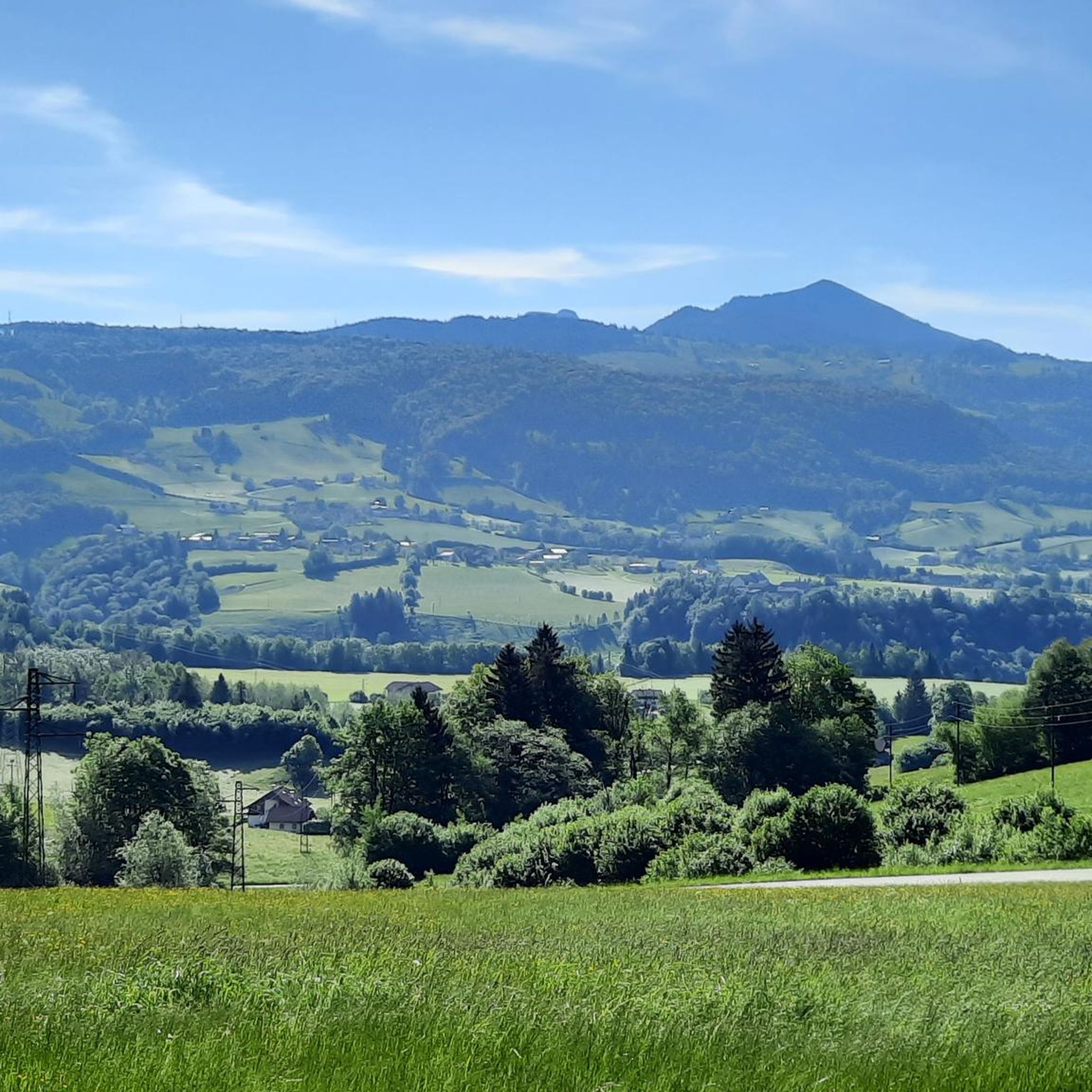
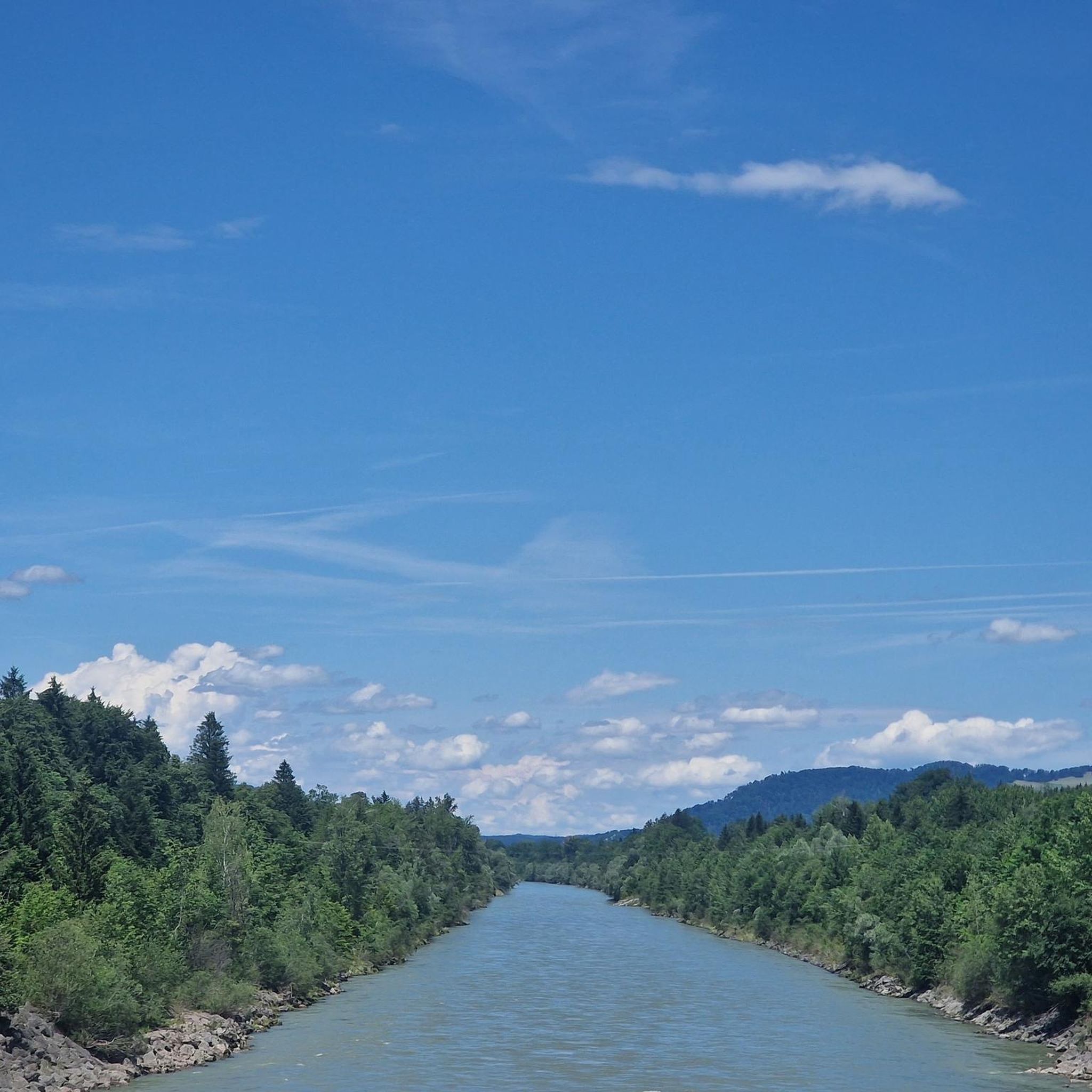

Tips from the Community

very steep and challenging descent and ascent :-)
0
0

A particularly beautiful tour in March. That's when the snowdrops and winter heath are in bloom. A must-see at the beginning of spring.
0
0

Somewhat steep climb to the summit cross
4
0

A tough climb at the beginning. Then it becomes a bit more pleasant but still challenging. Great views and a magnificent panorama at the top of the pass quickly make the exertion forgotten. And finally, a thrilling descent awaits.
0
0

Absolutely great and always worth a visit
0
0

Fantastic views and great route
0
0

It's best to go up early in the day as it's very crowded. It's not allowed to go by bike.
0
0

Good footwear Take enough to drink with you Sure-footedness required
0
1
Frequently Asked Questions
Which mountain passes offer the best panoramic views near Puch bei Hallein?
For breathtaking vistas, the Rossfeld Panorama Road Viewpoint is highly recommended. It offers expansive views towards Salzburg and the Untersberg massif. Another excellent spot is the Rossfeld Panoramic Road View, which rewards you with great views of the Salzach Valley and the Berchtesgaden Alps, including the Watzmann and Hoher Göll.
Are there family-friendly mountain passes or trails around Puch bei Hallein?
Yes, the region offers options suitable for families. The Rossfeld Panorama Road Viewpoint is considered family-friendly and easily accessible by car via the Rossfeldstrasse. Additionally, the region research highlights the Salzburger Hochthron as a secure summit, even suitable for children, due to minimal risk, making it a family-friendly destination.
What natural features can I discover on mountain passes near Puch bei Hallein?
The mountain passes around Puch bei Hallein are rich in natural beauty. The Mittagsscharte, for instance, is a natural monument and a ridge located directly on the border between Austria and Germany, featuring a unique cave called 'Steinerner Kaser'. The entire region, part of the Tennengau, is characterized by alpine pasture areas and impressive peaks like the Untersberg massif.
When is the best time to visit the mountain passes around Puch bei Hallein?
The best time to visit is generally during the warmer months, from late spring to early autumn (May to October), when trails are clear of snow and weather conditions are most favorable for hiking and enjoying the panoramic views. During these months, you can fully experience the diverse hiking opportunities and natural beauty of the Salzburg Alps.
Are there challenging mountain pass trails for experienced hikers?
Yes, for experienced hikers seeking a challenge, the region around Puch bei Hallein, particularly the Untersberg massif, offers demanding passages and challenging summit climbs. The Mittagsscharte is categorized as a challenging mountain pass trail. Good footwear is recommended for trails leading to summits like Nockstein due to some demanding sections.
What outdoor activities can I do near the mountain passes around Puch bei Hallein?
Beyond exploring the mountain passes themselves, the area offers a variety of outdoor activities. You can find numerous hiking opportunities, including routes like the 'Hubertus Chapel – Erentrudis Alm loop' or the 'Summit Cross of Almerberg – Oberalmberg Summit Cairn loop'. For more options, explore the hiking guide for Puch bei Hallein. There are also running trails and mountain hikes available, such as the 'View from Gaisberg – Gaisberg Summit loop' detailed in the mountain hikes guide.
Is parking available at the mountain passes near Puch bei Hallein?
Yes, parking is available at several locations. For example, the Entrance to Roßfeld is a designated mountain pass highlight that includes parking facilities. The Rossfeld Panorama Road Viewpoint is also easily accessible by car via the Rossfeldstrasse, implying convenient parking.
What do visitors enjoy most about the mountain passes around Puch bei Hallein?
Visitors consistently praise the breathtaking panoramic views and the diverse hiking opportunities. Many highlight the stunning sights from the Rossfeld Panoramic Road, describing the views as a 'dream' and 'amazing'. The accessibility of some viewpoints by car also contributes to their popularity, allowing more people to experience the beauty of the Salzburg Alps.
Are dogs allowed on the mountain pass trails around Puch bei Hallein?
While specific regulations can vary by trail or protected area, generally, dogs are welcome on many hiking trails in the Tennengau region, provided they are kept on a leash and owners clean up after them. It's always advisable to check local signage or specific trail guidelines for any restrictions before heading out with your dog.
Can I find circular hiking routes around the mountain passes near Puch bei Hallein?
Yes, the region offers several circular hiking routes that allow you to experience the mountain scenery. For instance, the 'Hubertus Chapel – Erentrudis Alm loop' and the 'Small waterfall – Königsseeache loop' are examples of circular routes available for hiking. You can find more detailed circular routes in the hiking guide for Puch bei Hallein.
Are there cafes or huts near the mountain passes for refreshments?
Yes, the region is known for its cozy alpine huts (Alms) where visitors can relax and enjoy refreshments. For example, the Gaisberg, a prominent viewpoint near Puch bei Hallein, features a cozy alm. While specific cafes directly on every mountain pass might be limited, you will often find opportunities for food and drink in nearby villages or at popular hiking destinations.
What is the 'Ascent via Rossfeld Panoramic Road from Hallein' like?
The Ascent via Rossfeld Panoramic Road from Hallein is a scenic mountain pass and trail. The climb from the eastern side is considered more pleasant and offers spectacular views of the Berchtesgadener Land, Watzmann, Hoher Göll, Untersberg, Salzburg, and Hallein. It's a rewarding experience with breathtaking 360° panoramic views, especially on clear days.
Most popular routes around Puch bei Hallein
Most popular attractions around Puch bei Hallein

Get inspired with the komoot mobile app


Explore more
See even more epic mountain passes by checking out these guides around Puch bei Hallein:
